Before I dive in to the trip report, I want to make the access concerns clear to anyone reading. This summit is part of Cashmere Canyons, a privately-owned wildlife preserve. It is open to the public for hiking, but because its primary purpose is wildlife protection, it has a very short and specific list of allowed activities, and amateur radio is not among them. I am fortunate enough to be friends with the owner so I asked for permission to operate my KX2 here. He had some questions, but after I answered them and he checked with Chelan-Douglas Land Trust (an organization that holds a conservation easement) he granted me one-off permission.
This summit is unnamed in the SOTA system and on publically-available maps. I'm using the name that appears on the maps and signs provided by Cashmere Canyons.
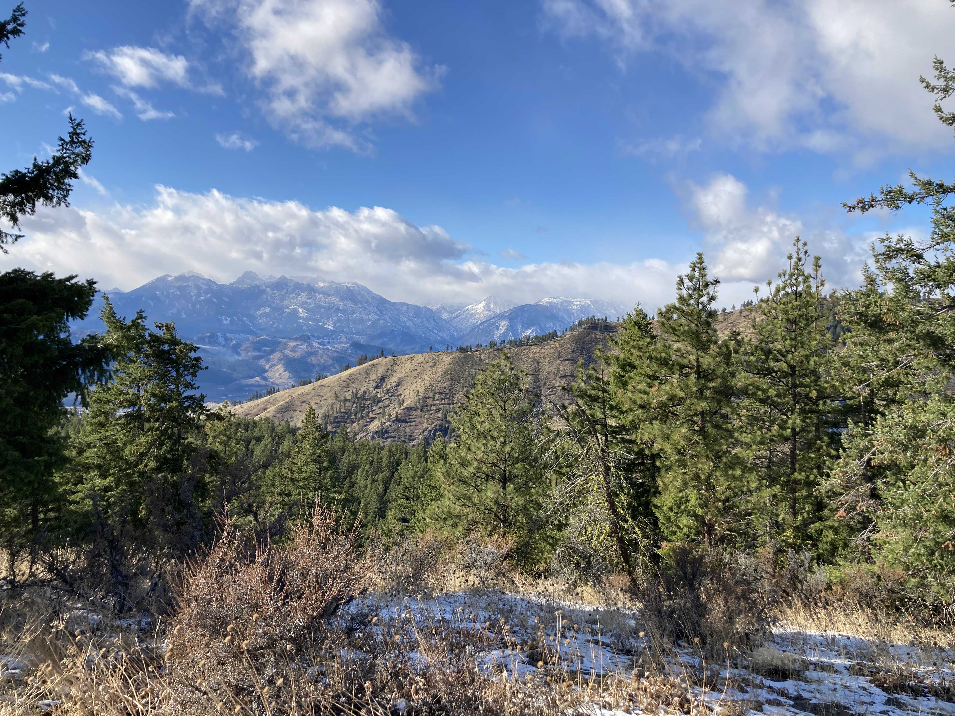
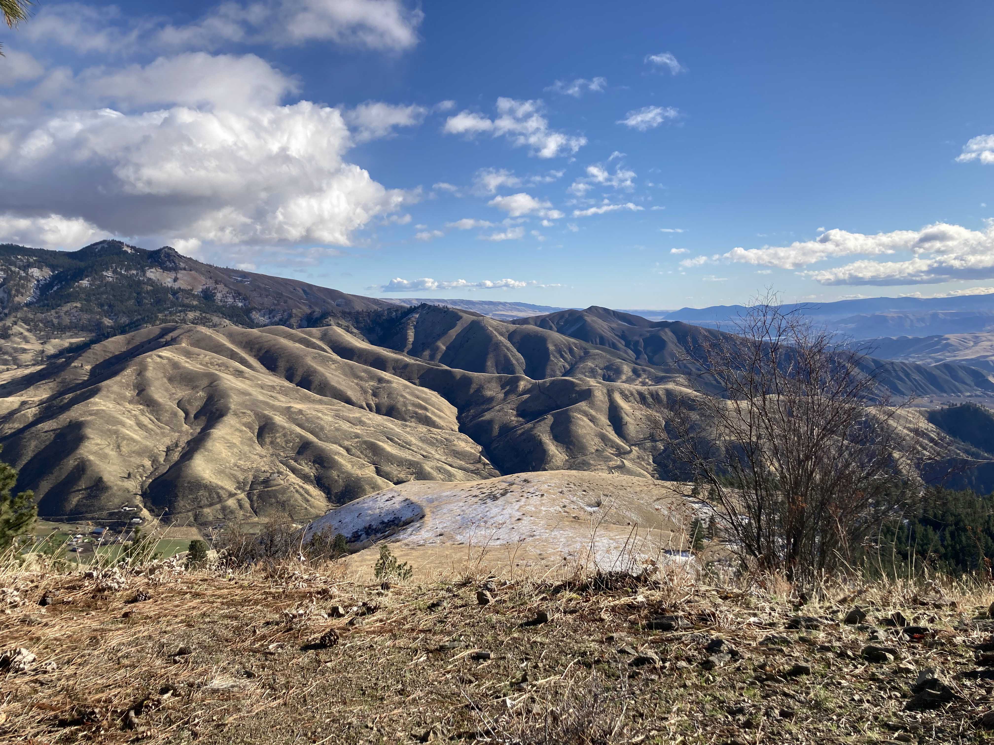
The road is paved all the way to Cashmere Canyons, and the trails are beautiful and well-maintained. See the Cashmere Canyons website for more information about getting here. It is very detailed and includes a great trail map. I followed signs for Little Bear. Note that the map puts Sunrise as a higher peak, but this is an error: Little Bear is actually higher, and is the only one here that meets the criteria for inclusion in SOTA. Despite being slightly lower, Sunrise has better views of the surrounding area, so it's worth the detour.
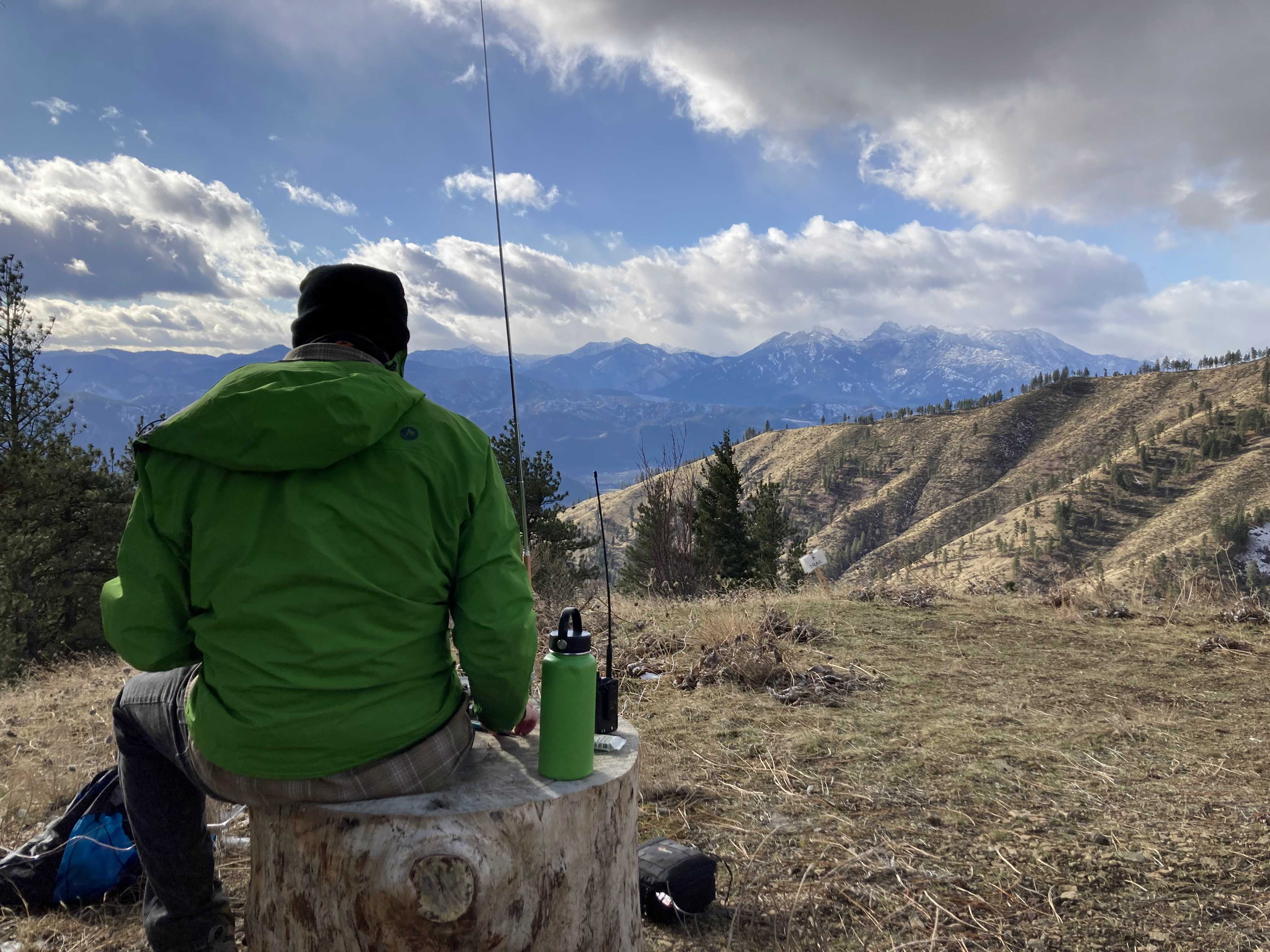
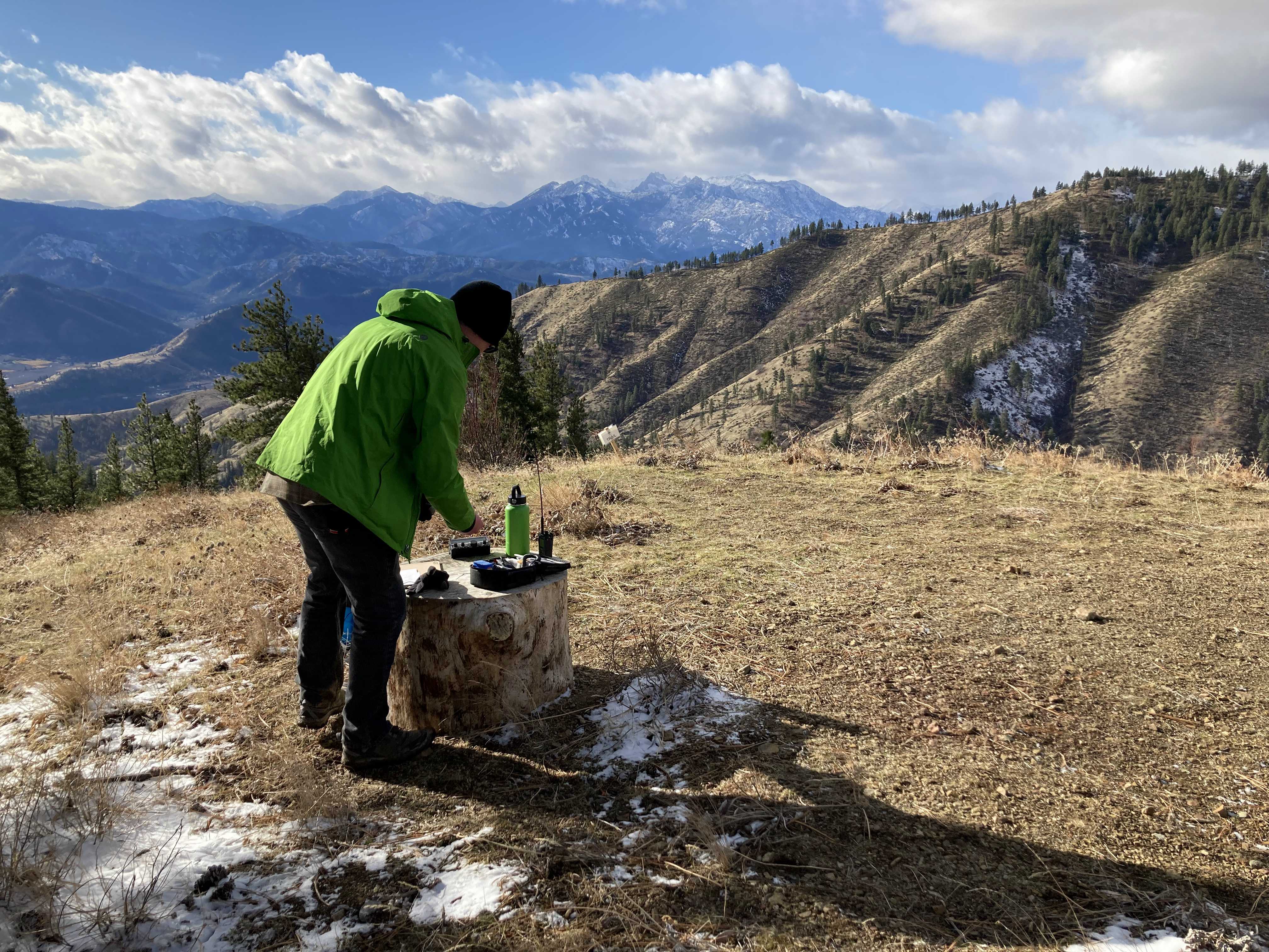
There are large sections of logs set up as seats on the summit. I brought a folding chair but I didn't end up needing it. I used my AX1 antenna because of the small footprint. This is the antenna that I described when talking with the property owner. There are good trees at the summit that could be used as antenna supports, but I did not ask whether I could throw a line over branches so I stuck with the AX1.
I started on 40 m CW and had my four contacts in about 10 minutes. Two were in California, one was in Washington, and I didn't copy the state of the fourth. After I set up the wind picked up, and there were even a few snowflakes. I would have liked to get more contacts but I was getting cold and a bit worried about my equipment, so I decided to pack it up.