Ice Cave Mountain (Peak 2220) is a moderate hike that requires some route finding, with no established trail. Parking is along the shoulder of a paved road at an elevation of 1350 feet. I estimate that the hike is about 1.5-2 miles round trip, with about 900 feet of elevation gain. The peak and the approach are all on public land.
I parked at around (47.91633, -119.93011), on a wide spot of the gravel shoulder of Apple Acres Road. South of here, the terrain is very steep and would be very difficult to safely ascend. Fortunately, the ridge descends gradually from the peak northward until it reaches the road's elevation just east of here.
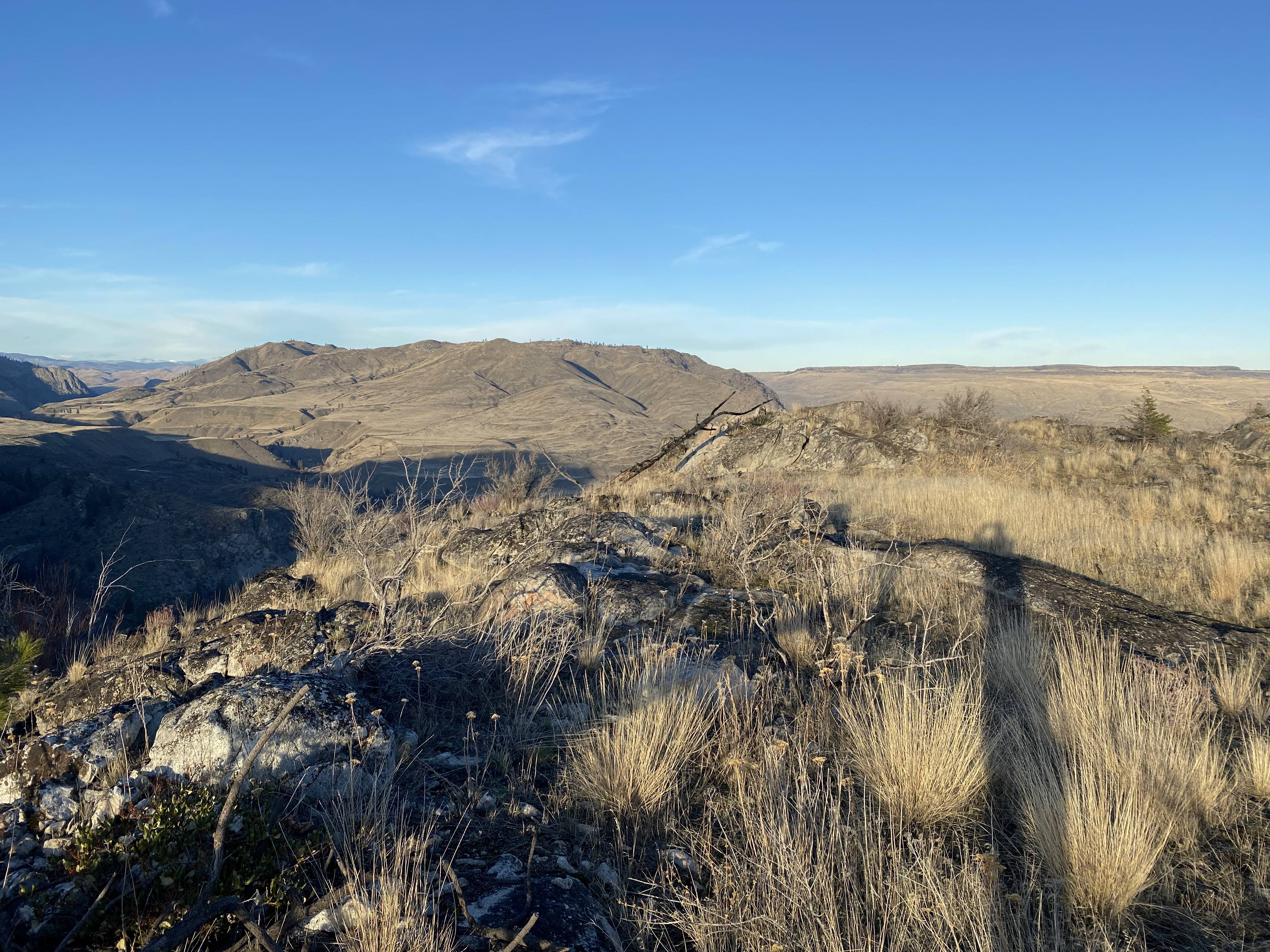
From the pullout, I hiked almost due east until I was able to start making progress up the ridgeline to the south. I could just barely make it around the steep terrain without straying off of public property. I saw a downed barbed wire fence at what I believe was the boundary with private property, but it's feasible to stay on the south side of it. Once I started uphill towards the peak, it was fairly easy to pick out a good route up that wasn't too steep.
At the summit, I found a few trees, but none that looked like they would make good antenna supports. The best candidate was growing out of the cliff, and I didn't think that I could get an antenna hoisted from it without getting too close to the cliff. So, I set up my AX1 with several radials and got on the air. I made 16 contacts around the US on 40 m and 20 m CW. It was sunny and surprisingly temperate for late November, so I was quite comfortable on the summit, but I packed up at 3 PM so as to allow enough time to hike down before it got dark.
I was able to spot myself using my phone, but I had to hold it up in the air to get service. It might be worth making alternative spotting plans, just in case. My APRS beacon from the summit got out just fine.