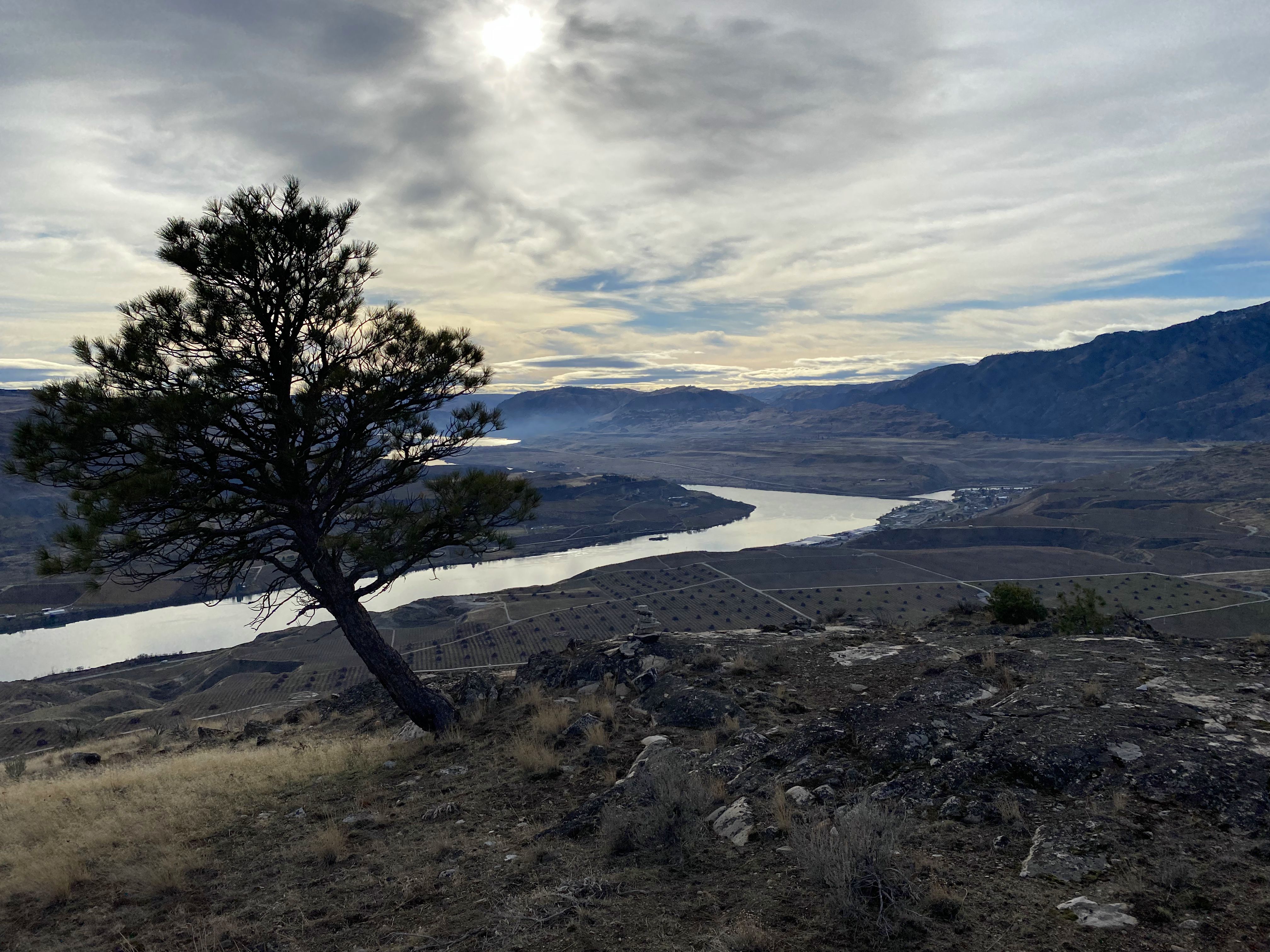
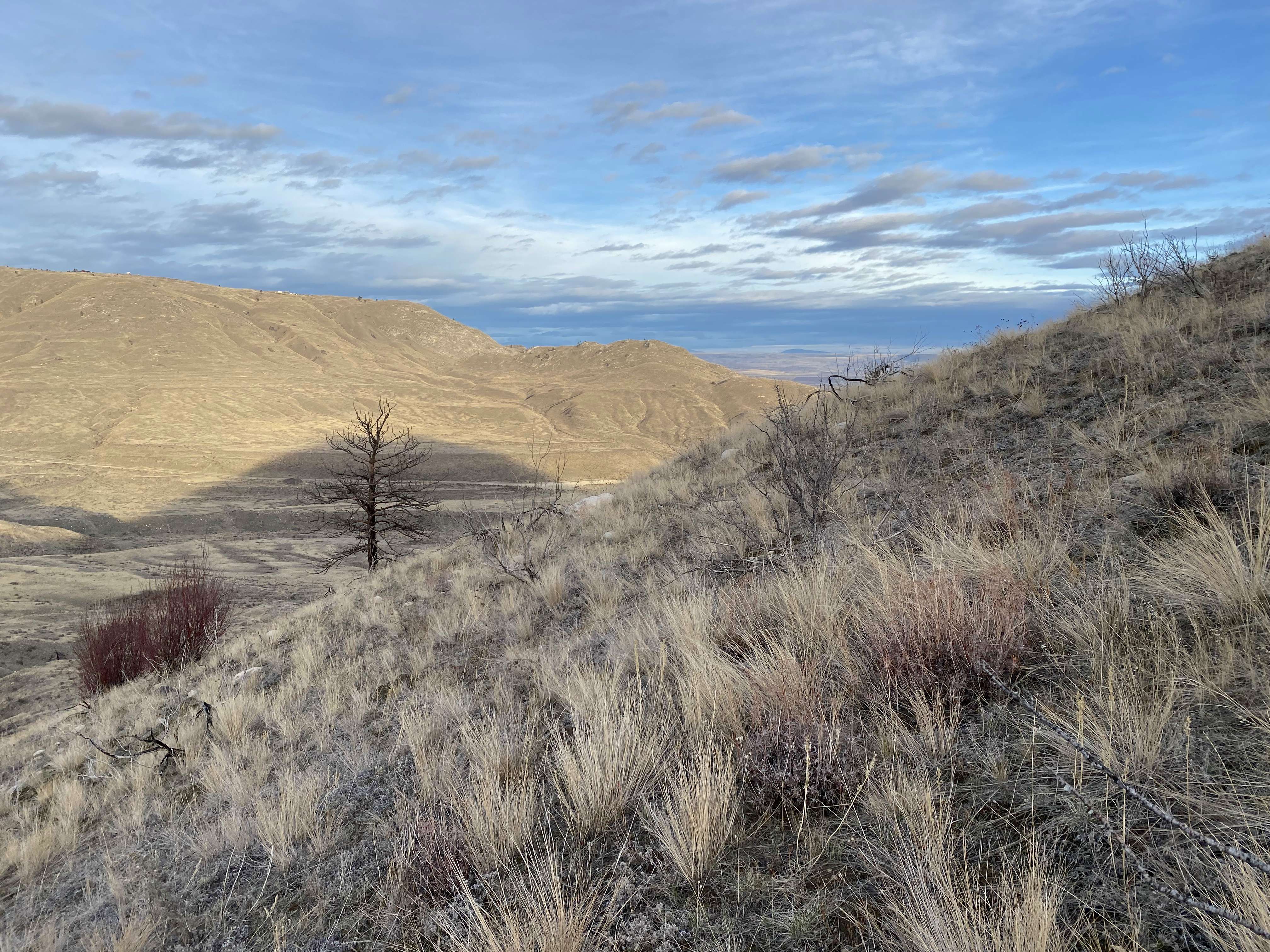
I completed the first activation of Tenas Mountain today. The hike I took and the peak itself are both located within Indian Dan State Wildlife Recreation Area. My route is about a 4 mile round trip with 1000 feet of elevation gain. I parked at the parking area at (48.11129,-119.86790). A Discover Pass is required. The last two miles of the drive was on a dirt road, but it was in excellent condition. From the parking area, I hiked along an old double track road towards the summit. It's easily visible from aerial imagery. Once I was at the base of the mountain, I left the road and ascended the northern slope of the mountain. There is no established trail but choosing a route is easy. It's fairly steep, but not extreme. Stay to the right of the false summit or you'll end up having to descend again slightly before reaching the true summit. At the end there is a very short and easy scramble.
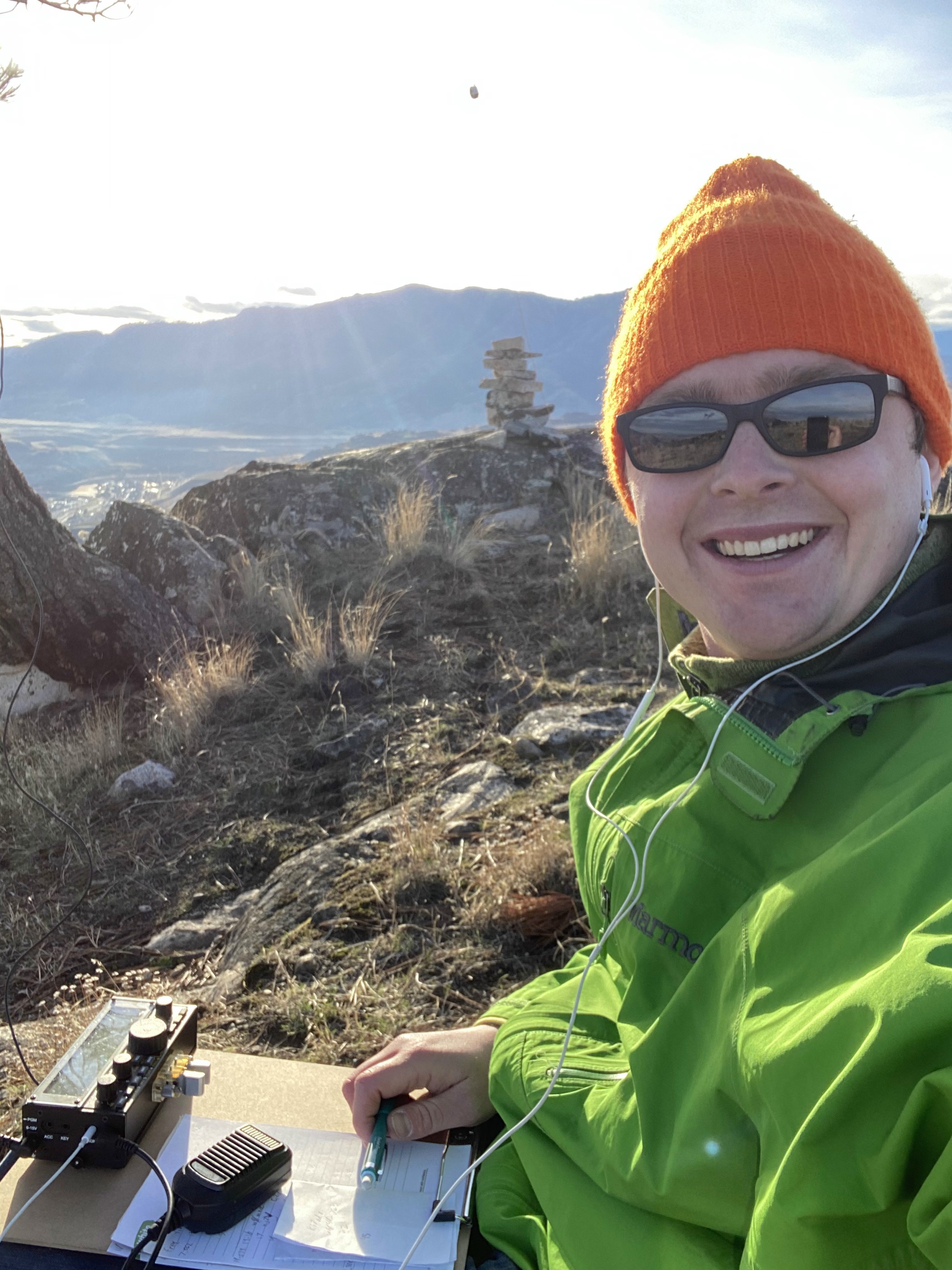
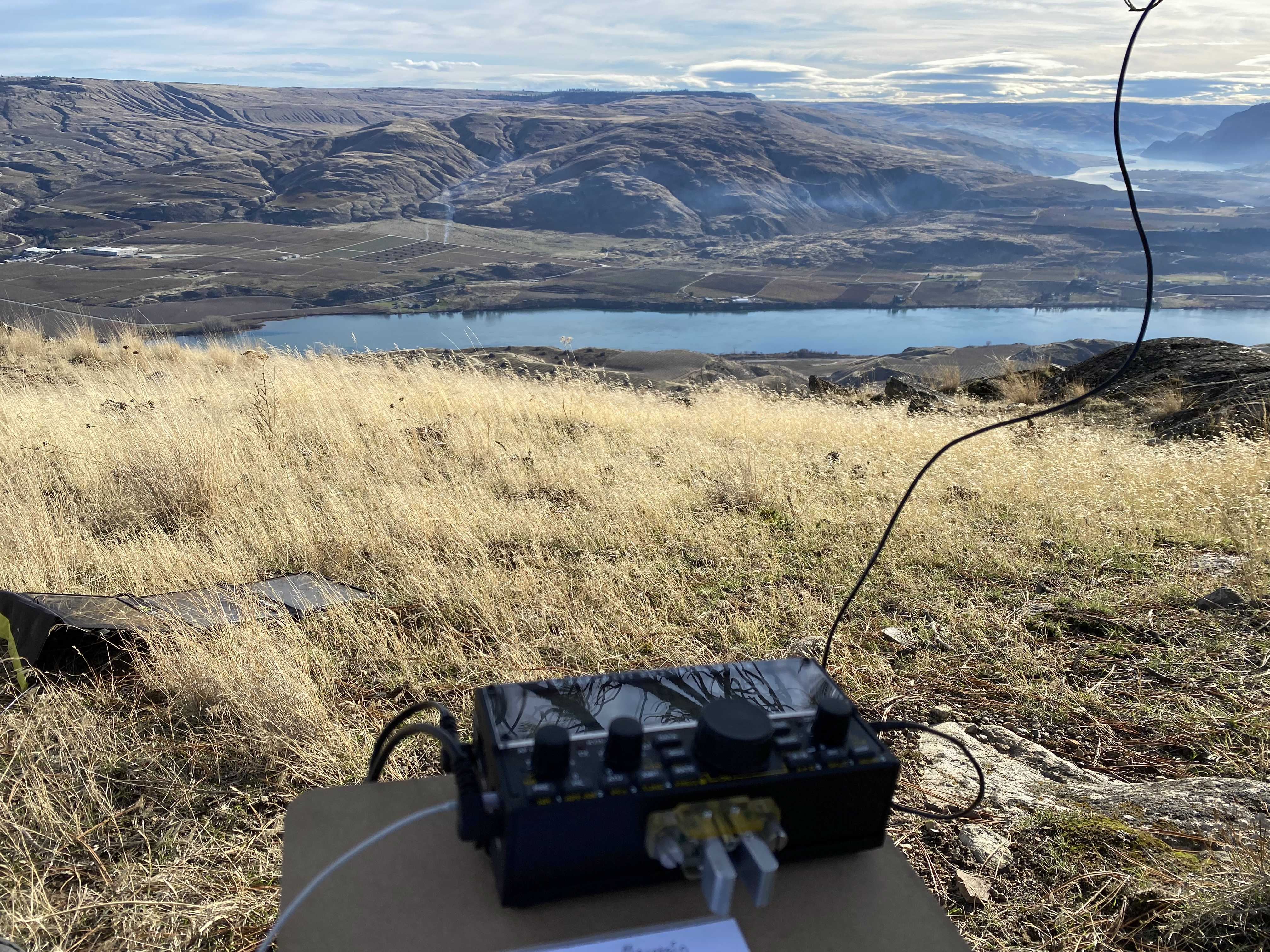
I set up a bit south of the summit, well within the activation zone. There is a lone tree that is an adequate antenna support. It is only about 20 feet tall but I was able to get a line nearly over the top of it. I made 28 contacts between 80 m, 40 m, and 20 m using my homebrew linked dipole.
There is good cell service at the summit but the trailhead and most of the hike was in a dead zone for me.