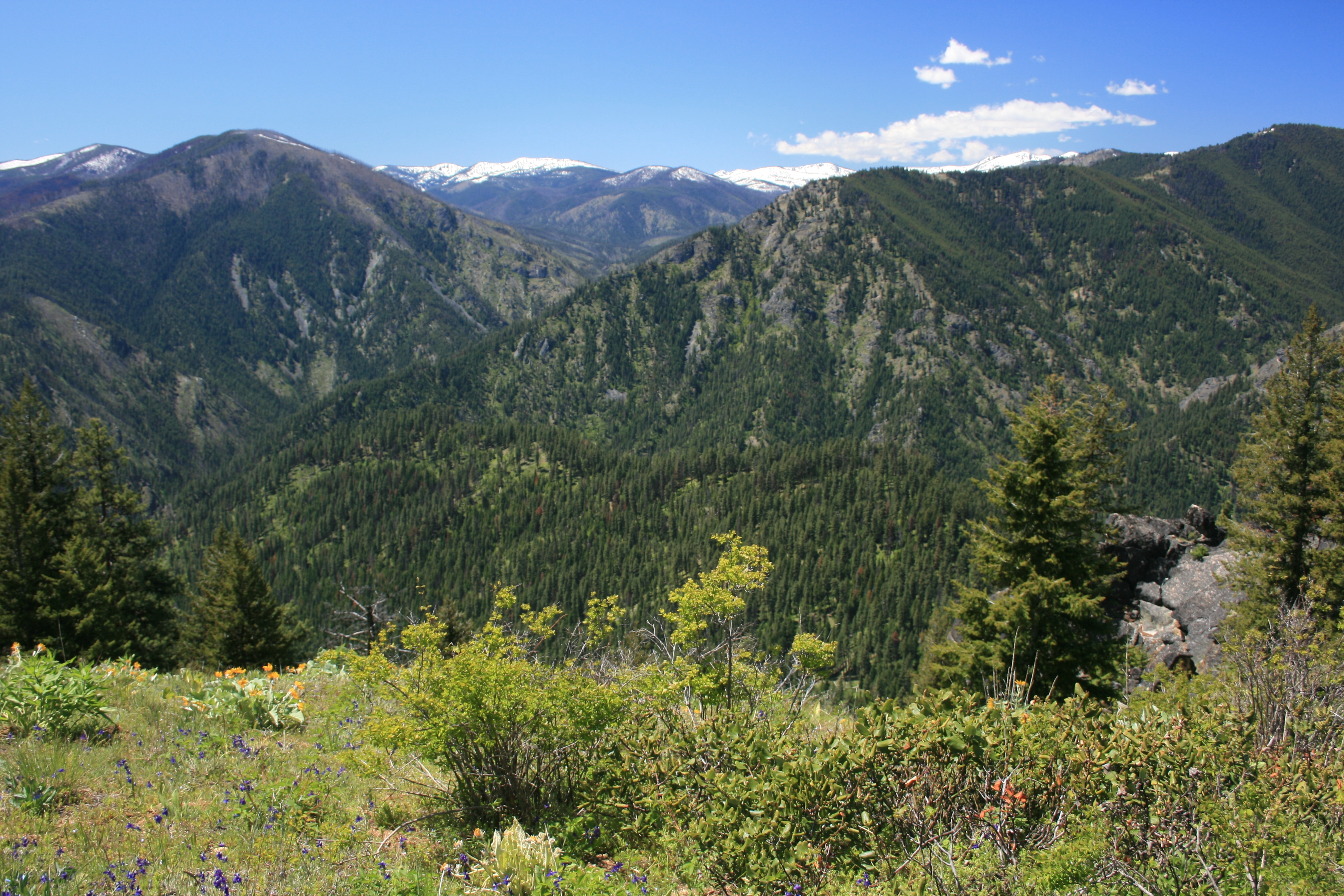
This old Forest Service Lookout site has only a crumpled outhouse, concrete anchor blocks and a few pieces of rusted metal remaining. Young trees have grown up and have limited somewhat the view of the surrounding landscape. It is a short, but steep hike very typical of the ‘ridge access trails’ climbing out of the Selway River. Along the trail though are many old ponderosa pine with large rectangles of missing bark on their boles where the historic Nez Perce people peeled back the bark centuries ago to remove the underlayer of sweet cambium, the growing part of a tree (see photo below). Peoples footprints have been on this area for thousands of years.
Trail Miles: approximately 2 one way
Water: None, dry ridge trail
Elevation Gain: 2100’
Map: Bitterroot National Forest, South Map
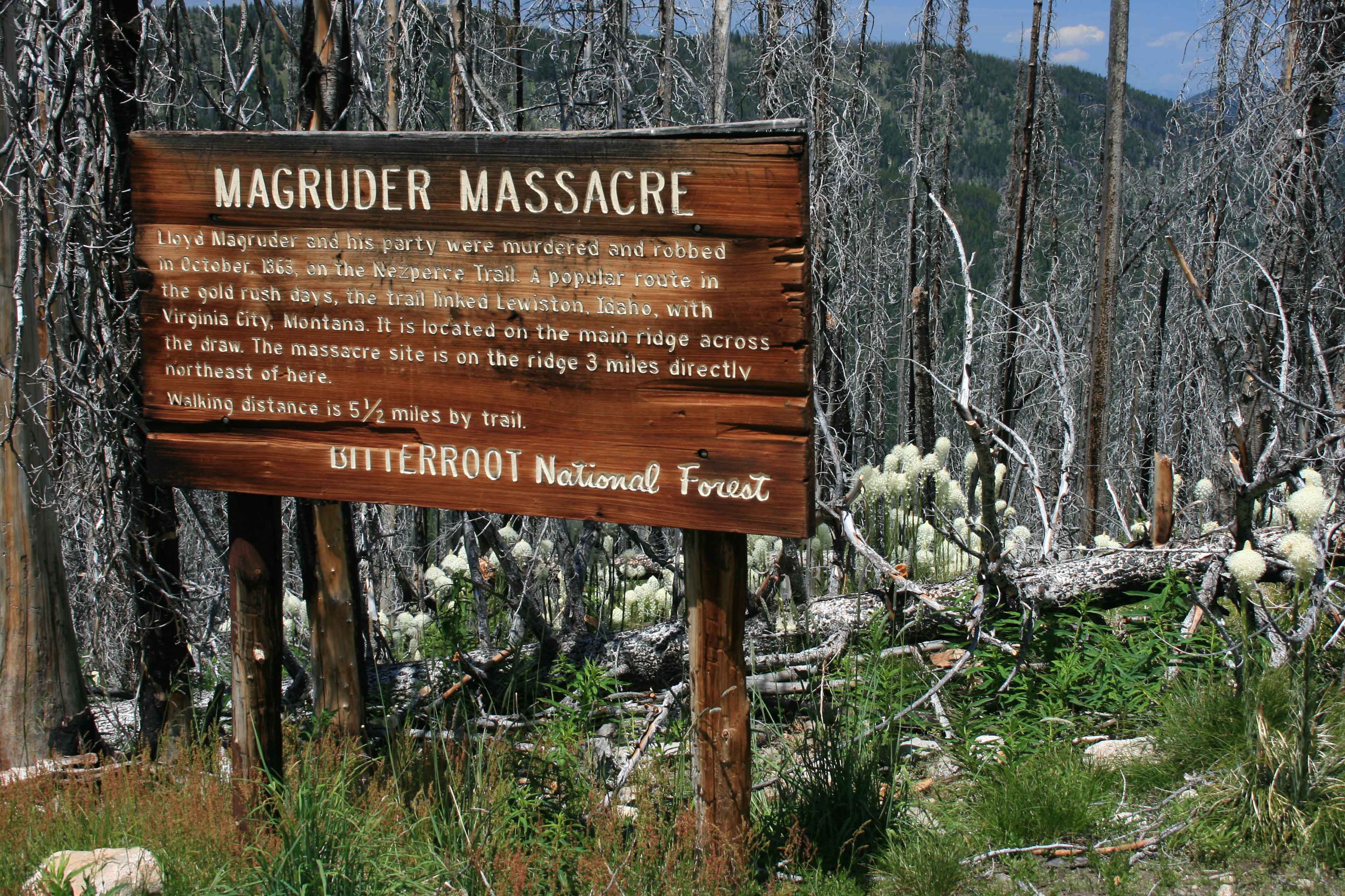
There is a trail shown on some maps from Indian Creek Campground as well, but this trail has been abandoned and you’ll be climbing over many downed trees and locating the trail is difficult in places. The good access is the ridge trail coming up from south of the summit described here. The ridge trail is on the location of the southern route used by the Nez Perce people to access bison hunting grounds to the east in Montana. Later prospectors and traders used the route. The famous Magruder Corridor Road and Ranger Station is named after Lloyd Magruder who along with his party were murdered near this location. The summit is forested and has trees for stringing antennas and open are for other antennas as well.
Directions: South of Darby, MT leave highway #93 and travel up the West Fork Bitterroot Road for approximately 14 miles. Turn right, west onto the Nez Perce Fork road. Continue up that road for approximately 16 miles to Nez Perce Pass. Continue over this paved pass traveling down the Magruder Corridor Deep Creek approximately 16 miles to the Selway River. Here a quarter mile side trip up the Selway River ends at the historic Magruder Ranger Station. Continuing downstream the road follows the narrow canyon of the Selway River to Magruder Crossing. At Magruder Crossing stay to the right and do not cross the river but instead continue down river approximately 3.5 miles to just 500 feet upstream from the Little Clearwater River/Selway River confluence. Use one of the small turns outs near the trailhead for parking. The trail is not marked at the trailhead, but is well used for fall hunting. Most maps have it located. Look for a steep northwesterly angled trail off the road. If you are camped at Indian Creek or Raven campgrounds, it’s a pleasant bike ride on the mostly single lane road to the trailhead.