UPDATE: There may be No Trespassing signs on this approach now.
Re Horse Ridge Initial Activation 23 Feb 2014.
Ray KG7AV, Max KF7MAX
Easiest approach is Hwy 20 east from Bend. Proceed approx 30m to Horse Ridge grade.
1. Just after the summit, as you descend into Millican basin, you will
encounter a turnoff to the S before you reach the ODOT cinder pile.
This is labeled as Ft Rock Rd on Google Earth, I know it as BLM 2015,
and I show it at 43 54 23.87N 120 59 50.67W.
2. 2015 curves due west at the intersection of Ford Rd. I show that at
43 52 28.29N 121 01 15.05W
3. The road forks at 43 52 28.89N 121 02 6.00W. Take the north fork.
The south fork curves south to intersect China Hat Rd.
4. Peel off toward North onto the dirt track at 43 52 28.75N 121 03 14.86W.
5. Turn NW at 43 52 49.55N 121 03 17.70W. As you start to climb up
through the saddle to the next plateau area, the road gets extremely
rocky, and I recommend it only for Jeeps or trucks with good ground
clearance.
6. Veer west at 43 53 16.33N 121 03 59.02W. As I recall, the road that
peels off NNE was posted with a BLM barricade.
7. At 43 53 18.01N 121 04 08.00W, the road to the summit clearly peels
off to the SW. You can park here, or proceed up the road to the point
where it starts to get steep. The laws of self-preservation should be
taken seriously here. Unfortunately it took me another 100 yards or so
to come to that realization.
8. You can see that the road makes the banzai assault straight up the
side of the ridge, and then turns right (WNW) at the top of the
ridgeline. Max and I cut that corner and switchbacked our way up some
game paths. Or you could stick to the road. It's not far, perhaps a
bit more than a 1/4 mile, but with a full pack, it is arduous.
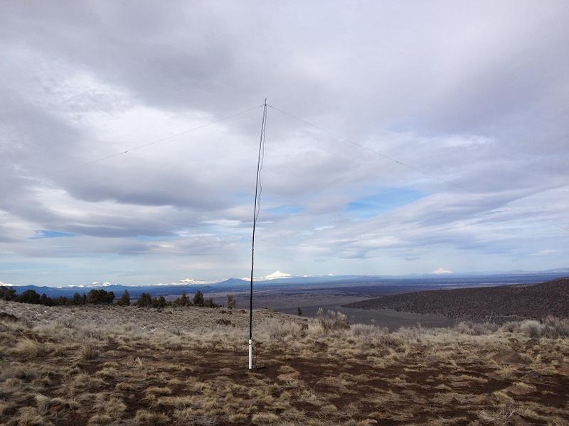
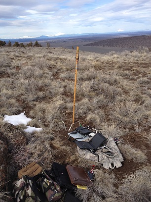
9. The benchmark should be near 43 53 18.10N 121 04 39.67W. There is a
semi-sheltered area in the rocks that is good for a buddipole or
vertical setup. The flat area just off the summit has ample room for a
full sized inverted vee on a 10m mast. The views are spectacular.
10. Take care descending the slope with your gear and protect your
knees. If there is any snow or mud on the road, you are better off
walking in the sage just off the road.
73
Ray KG7AV