This summit had never been activated and I now know why! The USGS maps would have you believe there is a road to the summit. There actually was a road when the forestry lookout was standing, but the last 1-1/2 miles of road is now overgrown and would take some guts and a great off-road 4-wheeler to traverse it. These same last miles are steep and unrelenting, though completely forested. When the so-called road ends. there are a few hundred feet of vertical trail required to reach the summt.
I would suggest good planning ahead with a marked-up route on USGS maps coupled with either a tracking GPS or a program such as Gaia on your phone to track your progress. There are so many logging roads it is easy to take a wrong turn and end up way off course (happened multiple times).
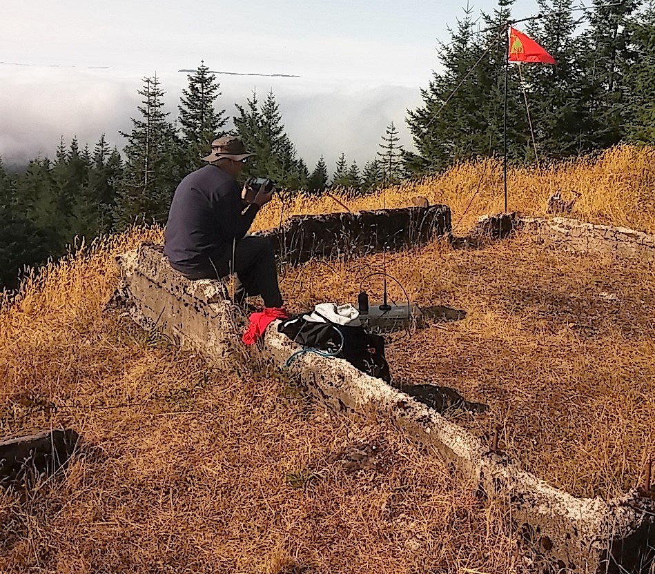
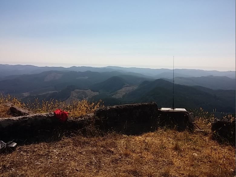
Once on top, you are greeted with great views to the East and South. A short hike west opens up a view to the west. The old forestry lookout foundation is still in place.