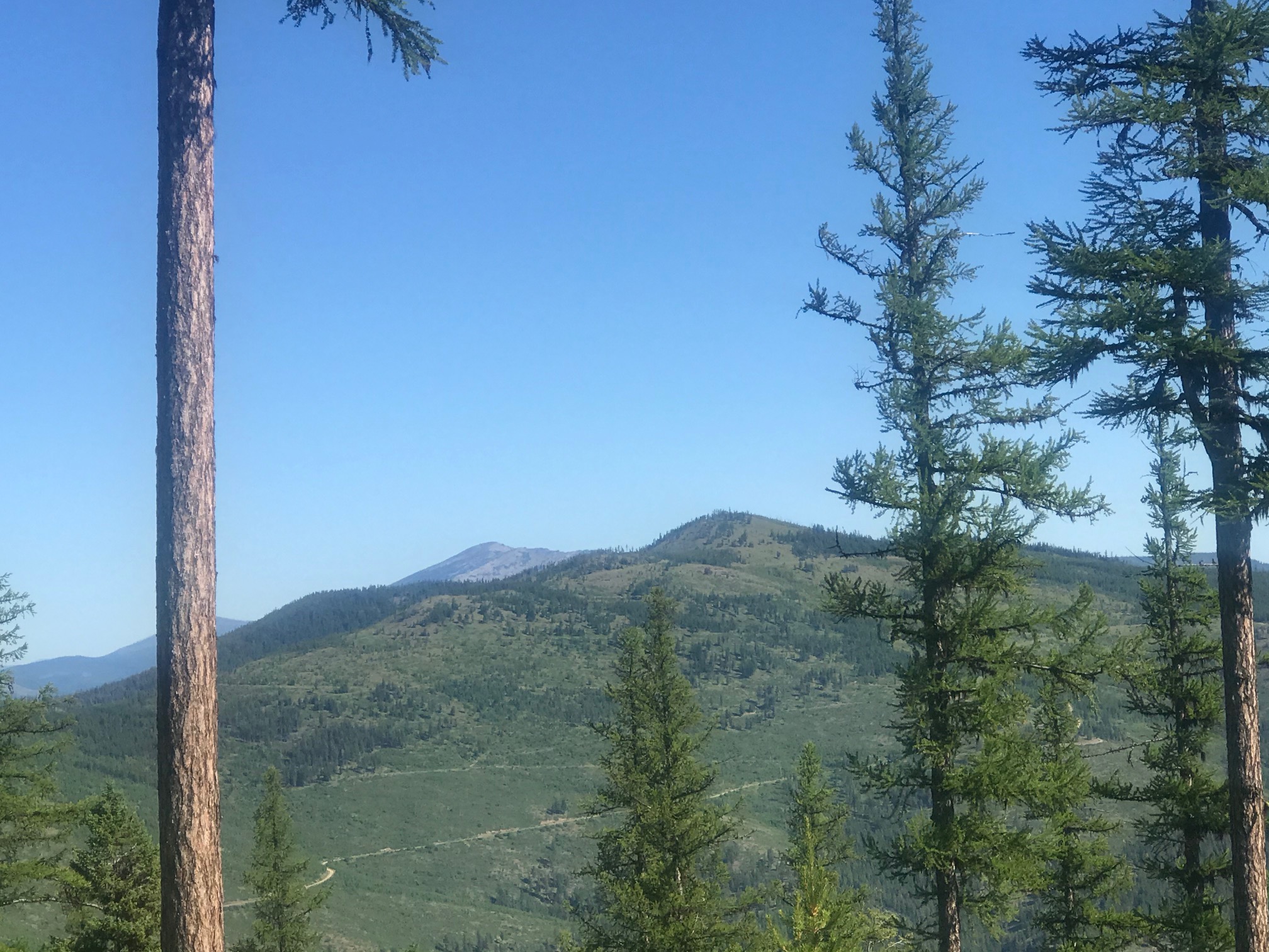
Henry Peak is a two point summit overlooking Plains, Montana. It is due north of the intersection of highways 200 and 135. Please refer to the linked map below as I describe getting there. All forest Service roads in this description are good to fair and a four wheel drive is not necessarily needed but advised due to some bumpy and rocky spots.
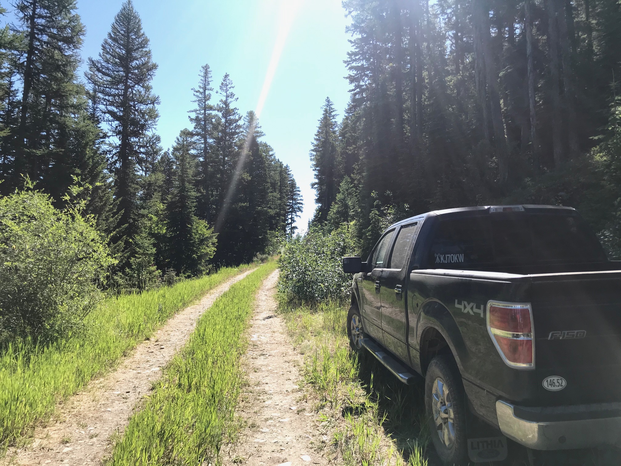
About two miles east of Plains on highway 200 is the turnoff north onto Forest Service road 661. A few miles in take Forest Service road 4271 as it takes a sharp right turn off of 661 which continues straight. At approximately 11.5 miles from the start at highway 200 you arrive at the junction of Forest Service road 4271 and 16622 which is clearly marked. At this point you may want to park your vehicle. Forest Service road 16622 is a dead end and there are only two places you can turn a full sized vehicle around. On the map, the 0.9 mile section from the start of Forest Service road 16622 and the only place I was able to turn my truck around with a careful 8 point turn is marked as Drive/Walk. One picture below is of my truck turned around here. Of course if you have a smaller vehicle there should be no problem. From here you walk/hike.
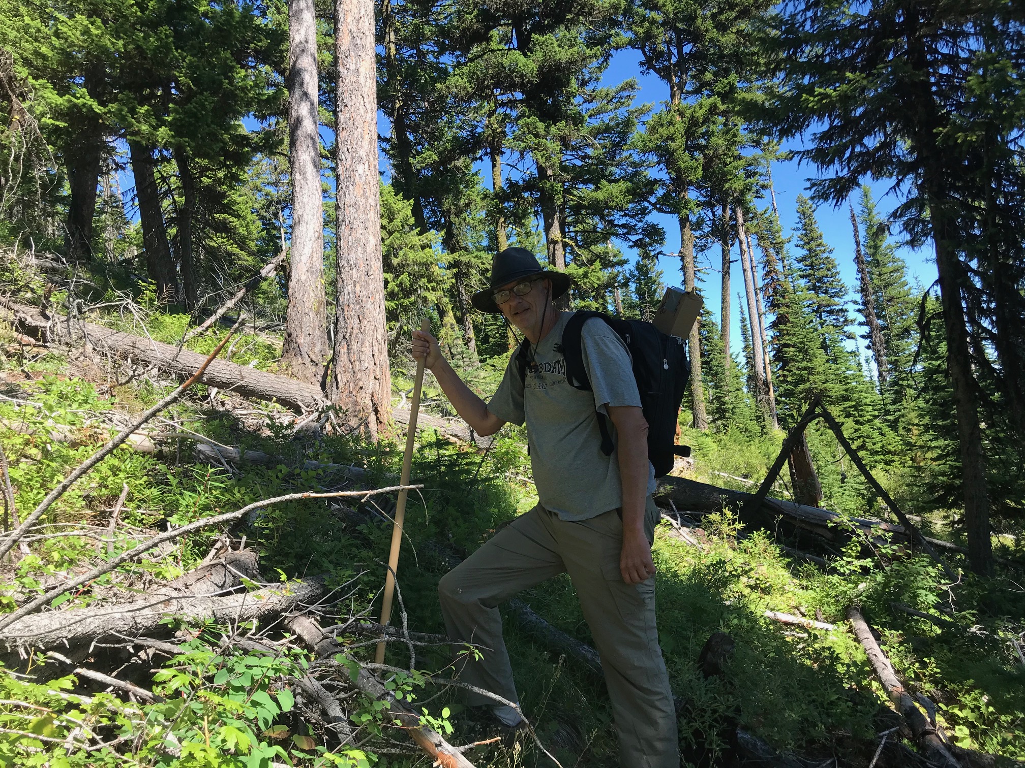
The Forest Service has been felling small dead trees up here this season and I found a small "trail" they had made going in and out of this area. It's marked on the uphill side of the road with red tape tied to the trees. It's from here you would normally bushwhack but for now there is a small trail that takes you to the saddle. From there it's a scramble but not difficult.
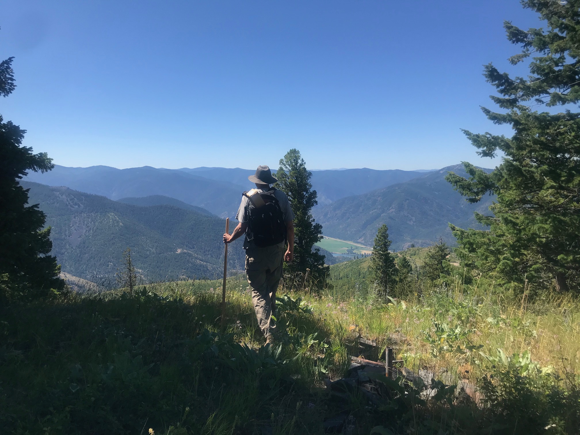
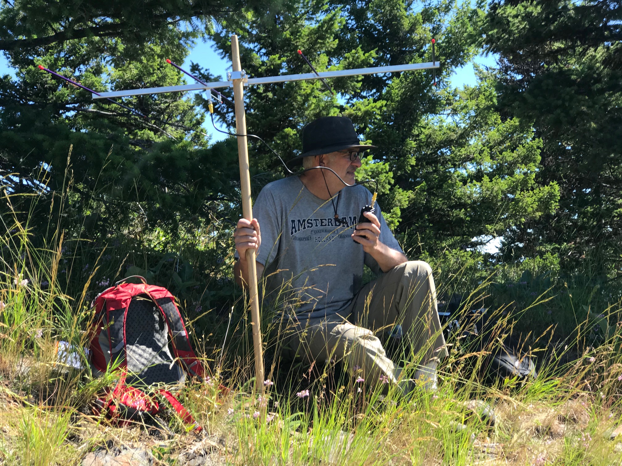
Henry Peak has a forested summit except for one small area at the south end of the peak. Here the view opens up about 30 degrees and you have a straight shot of transceiving with no vegetation interference. I got two contacts today. Enough to activate the peak but no one seemed to be playing radio today so after an hour I went QRT. I used my Yaesu FT2D 5 watt handheld with a portable 2m Yagi antenna. See the link below for the antenna reference. Both my contacts were loud and clear. One from about 38 miles away and the other about 60 miles away. I used 146.52 MHz FM voice.
And as always, if you plan to come to the W7M/LO region to do SOTA, please let me know. I can at least chase you from the top of Patricks Knob and get you a Summit-to-Summit.
Map Link:
Antenna Link: