Of the four Cougar Mountains in Oregon, this one is an easy two pointer south off of Highway 58, east of Oakridge, OR. This is a near drive up (or drive up if you are brave) and makes a convenient summit when travelling Hwy 58.
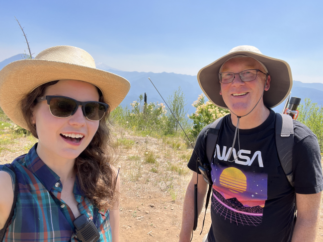
On the way to the 2023 W7O Campout and S2S party at Diamond Lake, Amy KC7JNU and I were looking for a good summit to hit along the way. The obvious choice in the area is Wolf Mountain, a 6 point drive up in the area. However, we were in the mood for a First Time Activation, and Cougar Mountain presented itself as very achievable.
From Oakridge, heading SE, proceed 10 miles to Shady Gap Road, just past McCredie Hot Springs. Turn right, crossing the bridge and head uphill on FR 5875 continuing uphill for 3.9 miles. Turn right onto FR 5864 for 0.3 miles and then bear left at the fork onto FR 5864-110. From this point on, the road becomes a narrow two-track hugging the side of the mountain. There are limited turnarounds and pulloffs but luckily this is a lightly travelled road. Also, this is pinstripe territory, so park your car now if you value your paint.
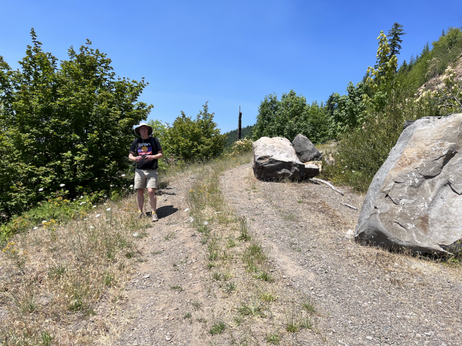
In about 0.8 miles, there is a right turn with good views to the left and room for a couple cars. If you are low clearance, or just cautious, park here. The road ahead is partially blocked by two large boulders. These can be driven around at an angle and with high clearance, or just get out and walk from here. The walk will be welcome after a long drive.
Proceed uphill into shade for 0.6 miles and take a sharp right back onto overgrown spur 112 for 0.4 miles to the summit. Bring a mast as there are few trees here. 2m FM contacts were easy during the S2S but will be a challenge at other times.


