Decided to kick it up a notch this time, (but only one notch) and do a 4 pointer. But feeling a bit lazy I went looking for a 4-pointer that I could reach without a really long hike. Gold Mountain, just east of Darrington, fits the bill. I headed north from downtown Darrington on SR530, and then east on Sauk Prairie Rd. After a couple miles, turned south on FS24 (pretty good gravel road), and after 4 or 5 miles turned right on FS2420 (OK gravel road with a few potholes to dodge). Switchbacked up the east side of the mountain, then climbed around the north side, over to the west side. At N 48 14.465 W 121 32.799, a spur road heads up towards the summit. However, my little Corolla wasn't up to that road, it's more suited to a 4wd vehicle. Anyway, I need to do some hiking! So I parked there and hiked up the last 1/4 mile to the summit.
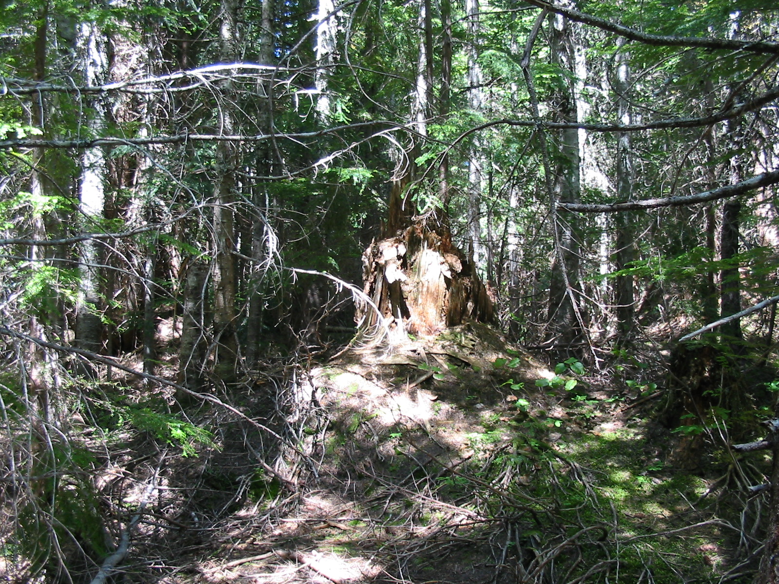
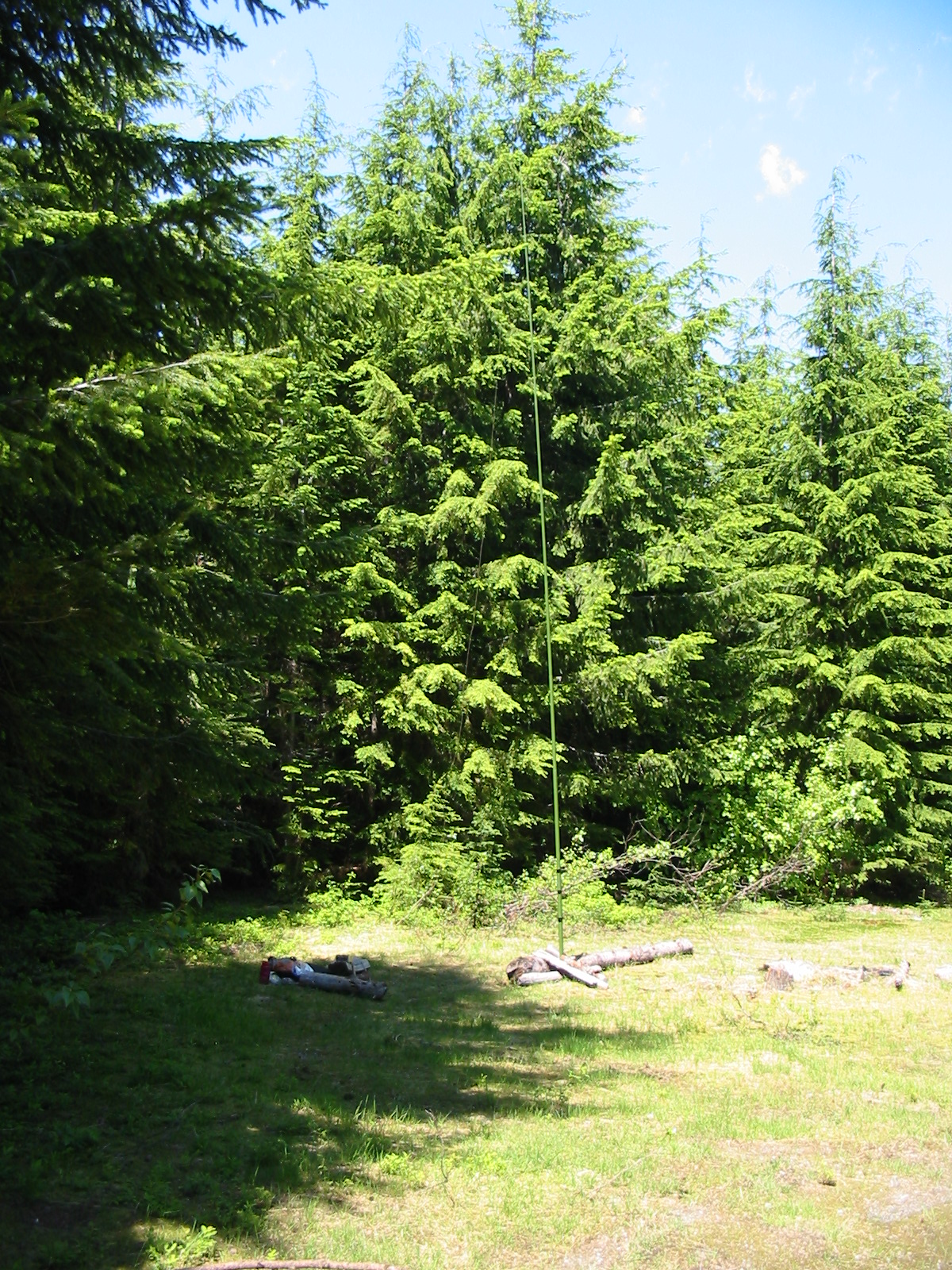
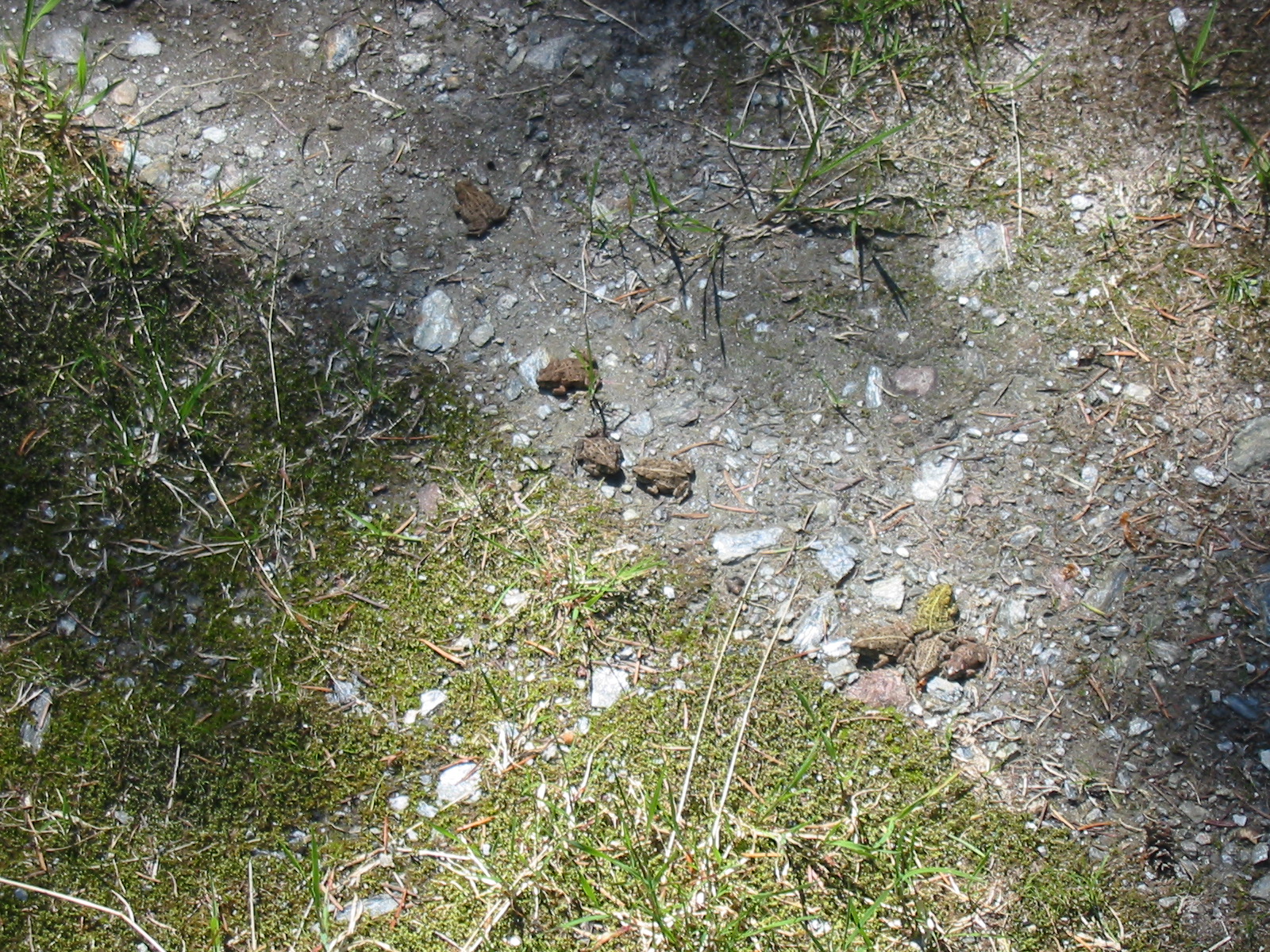
Gold Mountain's summit is broad and relatively flat; a few acres in size. The jeep road goes all the way to the top, past a clear cut area with great views to the west (Whitehorse Mountain) and south. There's also a weather station up there. The actual summit is mostly forested with young trees about 30-40 feet tall. But the road does lead to a large clearing on the east side of the summit plateau, and that's where I set up my station. One curious note: lots of little frogs all over the place! I picked up a small log to use as a seat and about a dozen little frogs jumped out of it! This time, instead of being an hour+ late for my announced activation, I was about an hour early. Lacking a smart phone, I had set up a Twitter account to use the QRPSPOTS website to spot my start time, but wouldn't you know it, no T-mobile service in Darrington. But a few CQ's on 14061 netted me a response from KT5X, who spotted me on sotawatch.
A couple of changes from my first activation made life a little easier. The first was a 31' Jacklite fiberglass collapsible pole, to hold my EFHW wire nice and high in the air. With the addition of a "PlumbQwik" rubber end cap from the hardware store on the bottom, the collapsed pole makes a usable, if slightly heavy hiking staff. The second change was an upgrade of the TICK keyer chip in my Norcal-20 from a Tick-1 to a Tick-4. The newer version has 2 memories and a "beacon" mode, which made cq'ing a breeze (once I got the thing programmed) Next upgrade is a lithium coin cell for the keyer so I can program the memories at home and keep them that way.
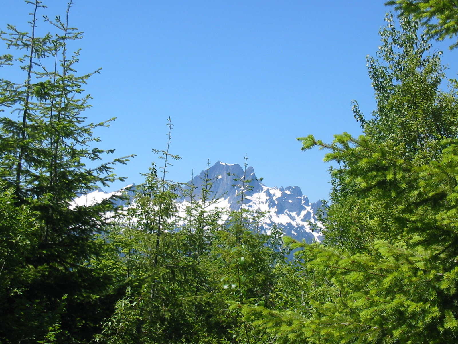
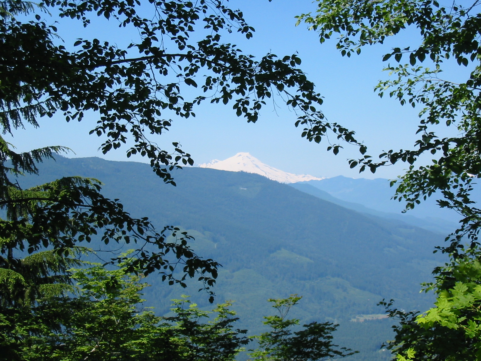
After an hour, and 11 QSO's in the log, the answers quit coming, so I headed back down the mountain, pausing to enjoy a stunning vista of the Sauk River basin and Mt Baker.