We didn't see any swamps, and it certainly wasn't swamped with people!
Getting to the trailhead was straighforward by following the directions at https://www.fs.usda.gov/recarea/willamette/recarea/?recid=80972.
(Caution - if you're using a forest service map to help you get there, you will see 1152 is a loop and you will be tempted to take the first right turn onto this loop like we did, only to find it is is blocked off just past the bridge at the bottom of the hill. You can ONLY access 1152 about 2 miles further down the road.)
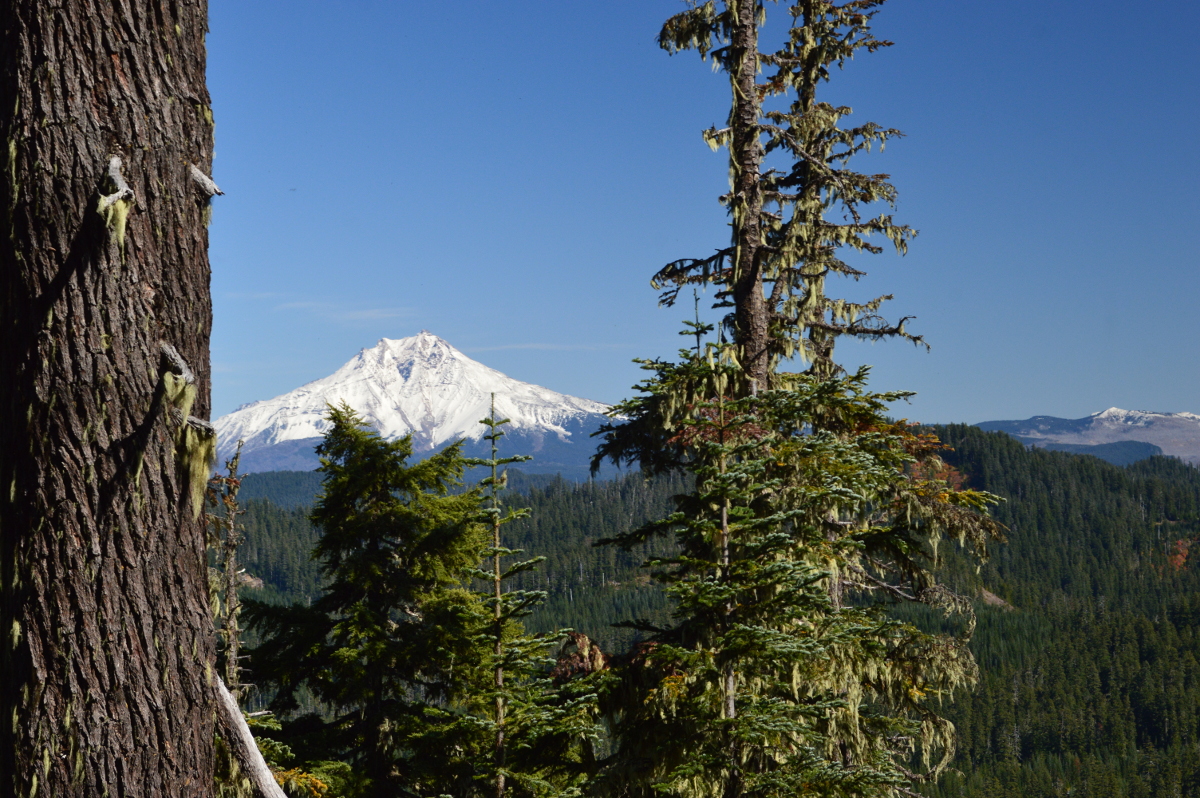
Parking at trailhead is limited to 2-3 cars but it doesn't look like this trailhead gets much pressure. The distance from the trailhead to the peak is probably 2 miles, steep in short sections and heavily obstructed with bushes and downed trees in spots. There is a false summit so make sure you keep going until you have reached a series of short steep switchbacks that are below the real peak. Reaching the actual summit from the trail is relatively easy and I'm guessing it is about 1/8 mile from the trail to the top. There are several tall trees at the summit perfect for antennas but they obstruct the view of Mt. Jefferson and Three-Fingered Jack to the east.
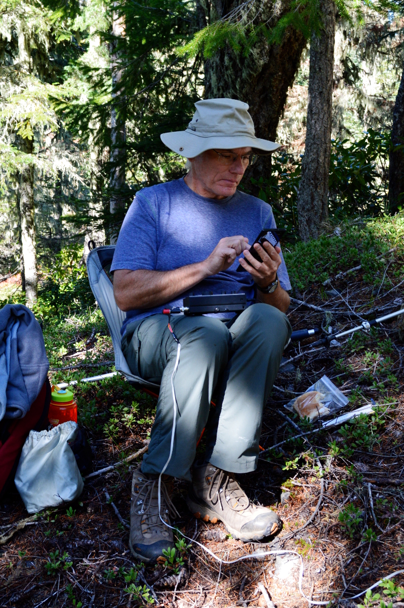
I made 12 cw contacts on 20 meters, and briefly tried 40 meters with no success. Unfortunately my timing on the peak just missed the other SOTA activations in the area, and although I heard a lot of 2-meter activity on 146.58 while I was on the trail, once I actually got to the peak I couldn't raise anyone on another peak. I did work Dan, N7YY, and Anne, K7AHR, while they were in route from one peak to another.