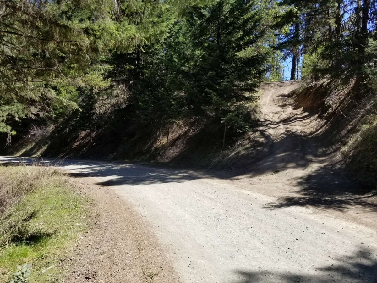
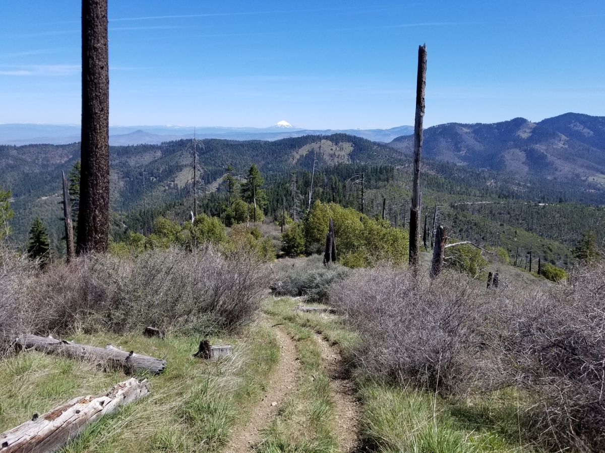
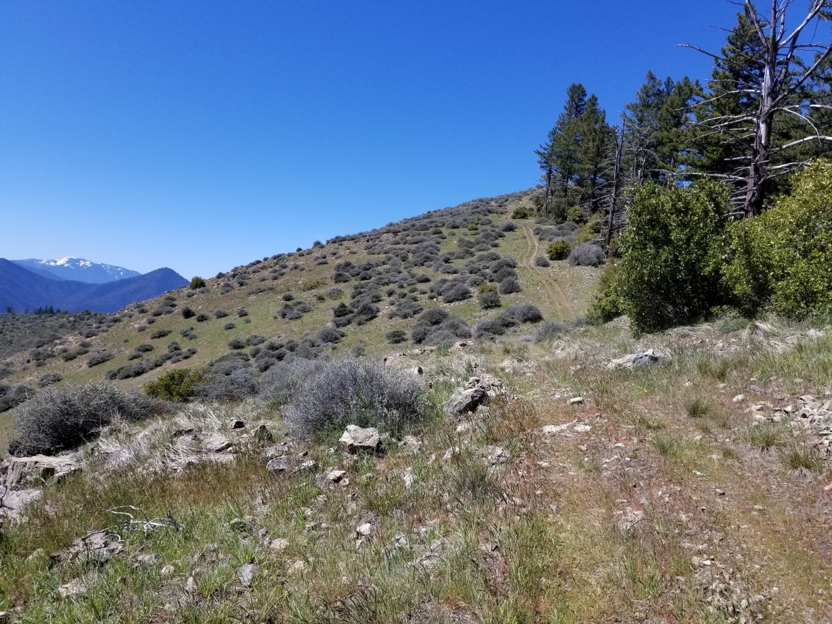
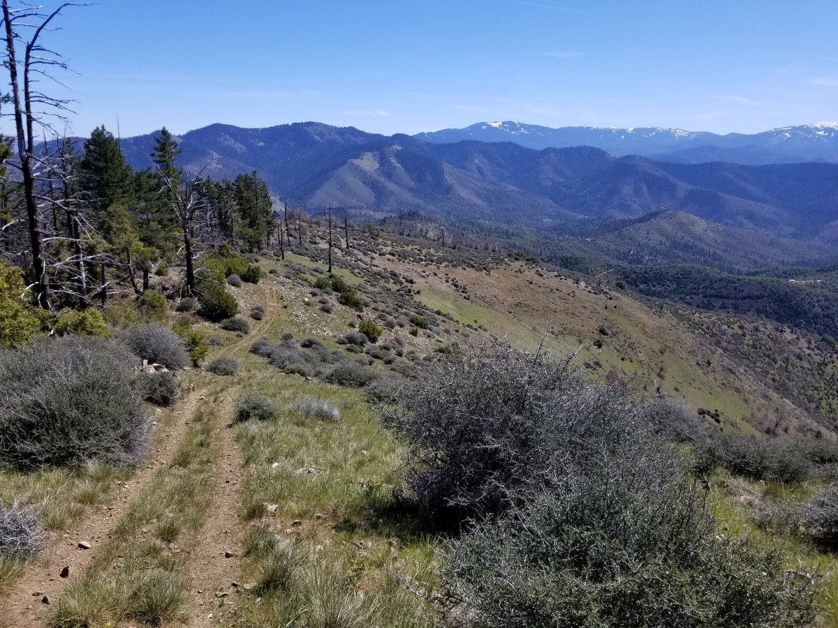
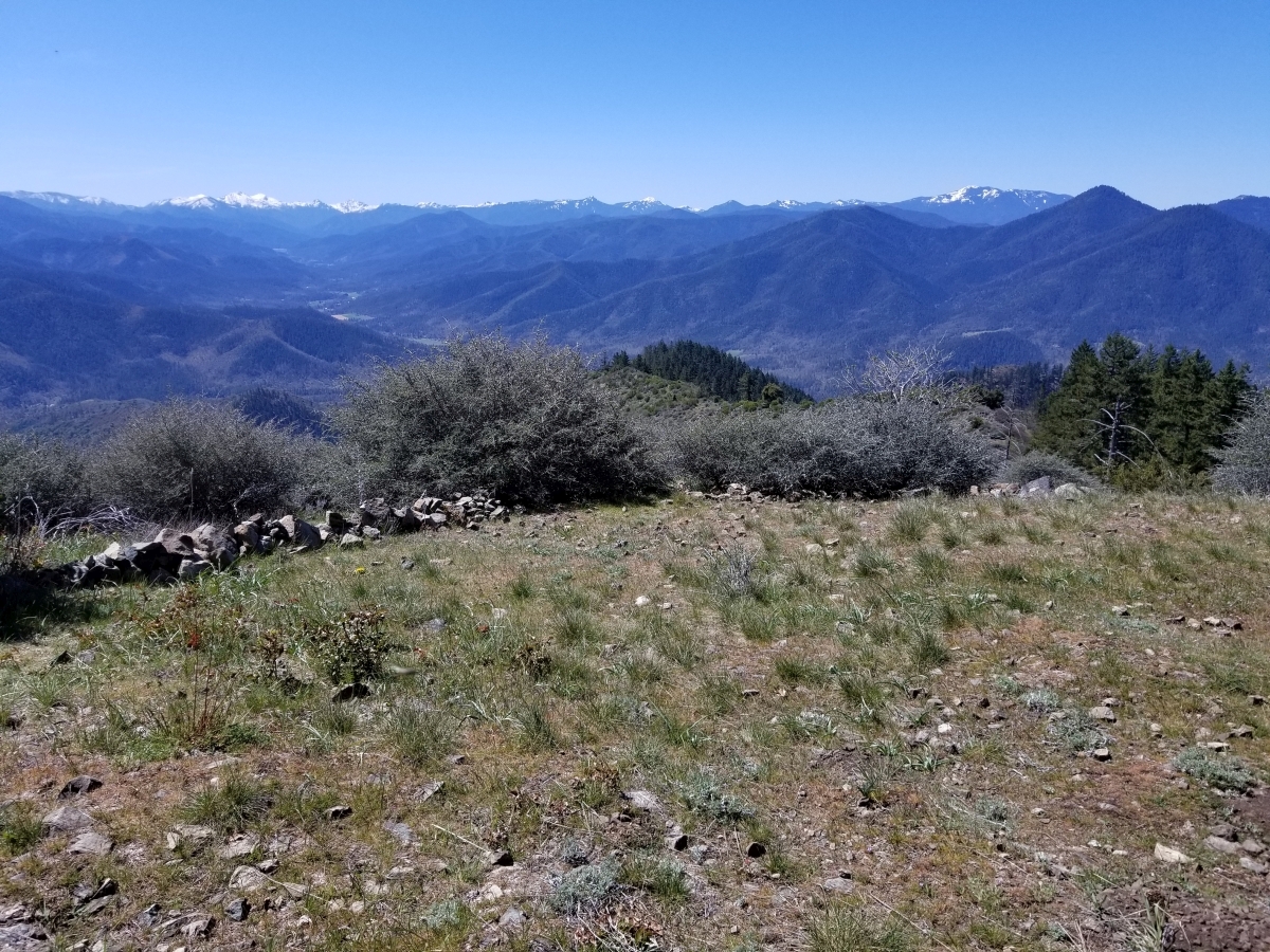
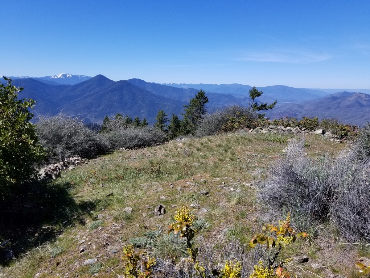
I believe previous activations of W7O/SC-071 reached the summit from the hang glider parking area to the north at the end of Woodrat Mountain Rd. When I looked at Google Maps satellite view, I noticed a distinct trail from an earlier spot on Woodrat Mtn Road, to the east of the summit. Woodrat Mountain Road is reached via Griffin Creek Road and Sterling Creek Road from the east. It begins with asphalt pavement and then turns to gravel/dirt but is in very good shape compared to other forest roads in this area. I was able to easily find where Woodrat Mtn Road was intersected by this trail, which ended up being more of an old dirt road, rutted in places and sometimes brush growing into it. The trail/road intersects Woodrat Mtn Road at 42°13'23.6"N 122°59'21.4"W (42.223224, -122.989270), which I believe is 1.9 miles after turning onto the road. Look on the left for the start of the trail as a wide dirt roadl. It's easy to find space to park on the side of Woodrat Mtn Rd. It is a fairly pleasant hike, although quite steep in the beginning. The one way distance is 0.8 miles with 800ft elevation gain, which means average slope is 20% (fairly steep). I would suggest trekking poles (if you have them) and good hiking shoes. An outer garment will help protect your arms from the occasional bush growing into the road. I hiked in dry weather and the footing was a little slippery coming down, but nothing that bad. I suspect it could get muddy after a rain. You're up on a ridge for the whole way and the views are phenomenal. There's a small open area at the well-defined summit proper. I would suggest bringing a pole for your antenna. That being said, I didn't bring a pole but managed to hang a 53ft end-fed wire over a small tree at the summit and then over a branch of a taller pine tree a little down from the summit. I have uploaded my GPX track from the hike at https://sotamaps.org/tracks