You can get to Mt. McLoughlin by taking OR 140 west from Klamath Falls for about
36 miles. Turn right onto FS 3650, which is also the turn for the SnoPark. The
trailhead is up this road 2.4 miles and is well marked and has a toilet. FS 3650
is also about 0.5 miles west of MP 33 on OR 140.
The round-trip distance to the summit and back is 11 miles. The first few miles
are through very pretty forest. The gentle trail gradually then more abruptly
becomes quite rocky and rugged. It took me 4 hours, 40 minutes, all stops included,
to reach the summit. The whole trip, car-to-car, including operating time, was eight
and a half hours. I had to take my time up and occasionally backtrack in a few
places up on the ridge as it wasn't very clear which way to best proceed.
If you are considering this summit, if the day is to be sunny or warm, 4 liters
of water is appropriate unless you are a camel. The sun will bake you from above,
and the rocks will bake you from below. I had only 3 liters and ran out just after
reaching the treeline again.
Although trailhead sign-age indicates that spray painted rocks are not reliable
indicators of being on one of the correct approaches, I did find that the rocks
with small white dots were pretty much right on. Keeping on the proper approach
trail was more difficult ascending than descending. Apparently more effort has been
made to keep folks coming down from getting off the beaten path. The word is that
quite a few people get lost on the descent.
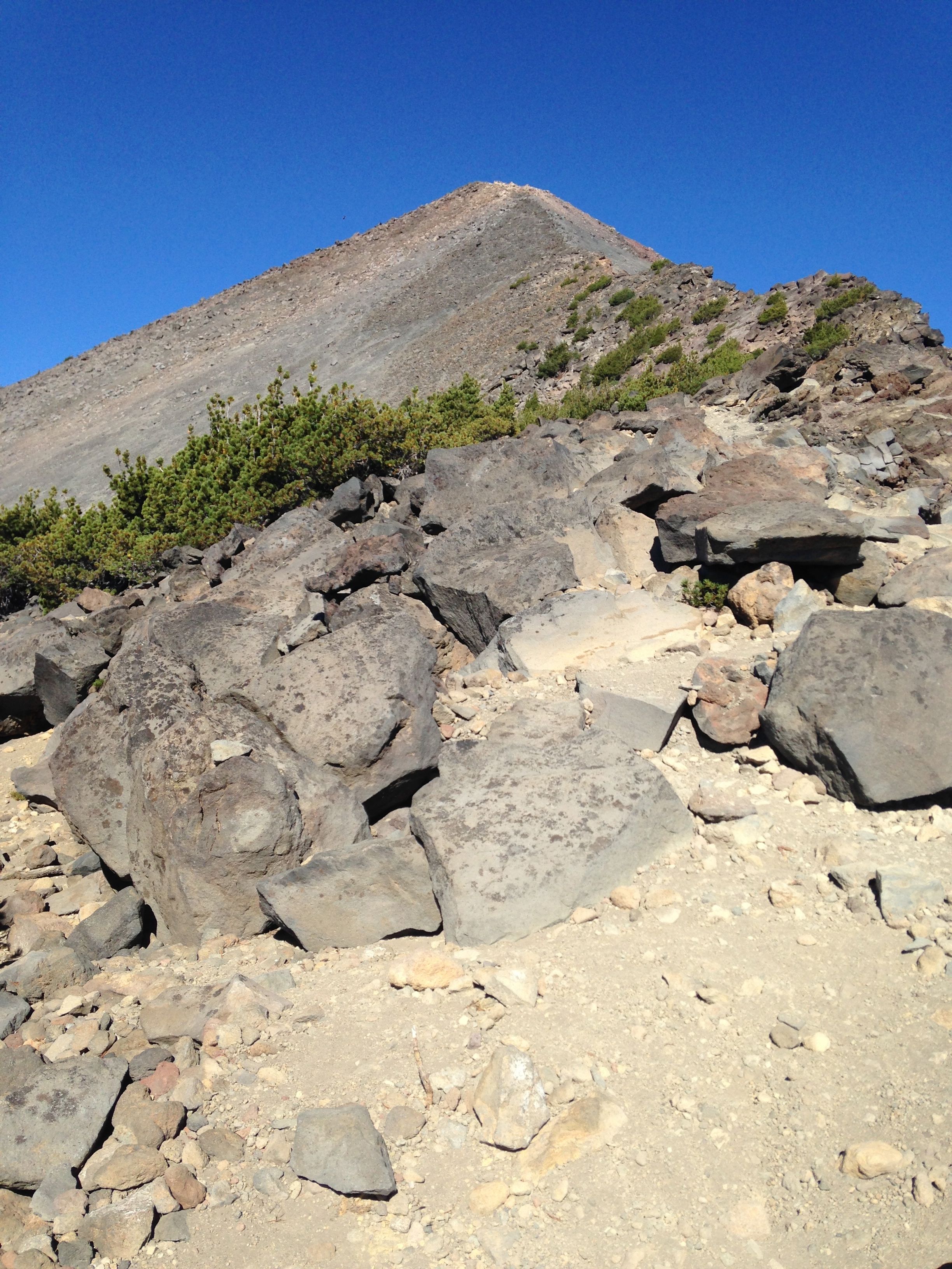
After leaving the deeper forest, the trail still keeps you in the shade pretty
well until you are on the treeless ridge. The terrain is quite rough but manageable.
Trekking poles are very useful here.
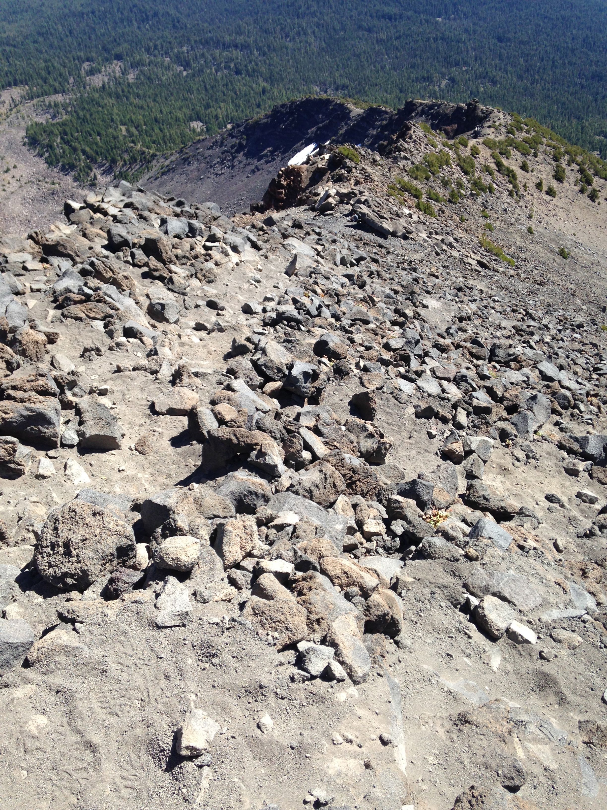
After reaching a saddle/viewpoint at 8200ft, you are on the edge of the ridge. As
you ascend, its best to stay near to the edge of the ridge and just to its left.
Even if it looks steep or difficult, its a better approach and retreat to stay on
the edge of the ridge.
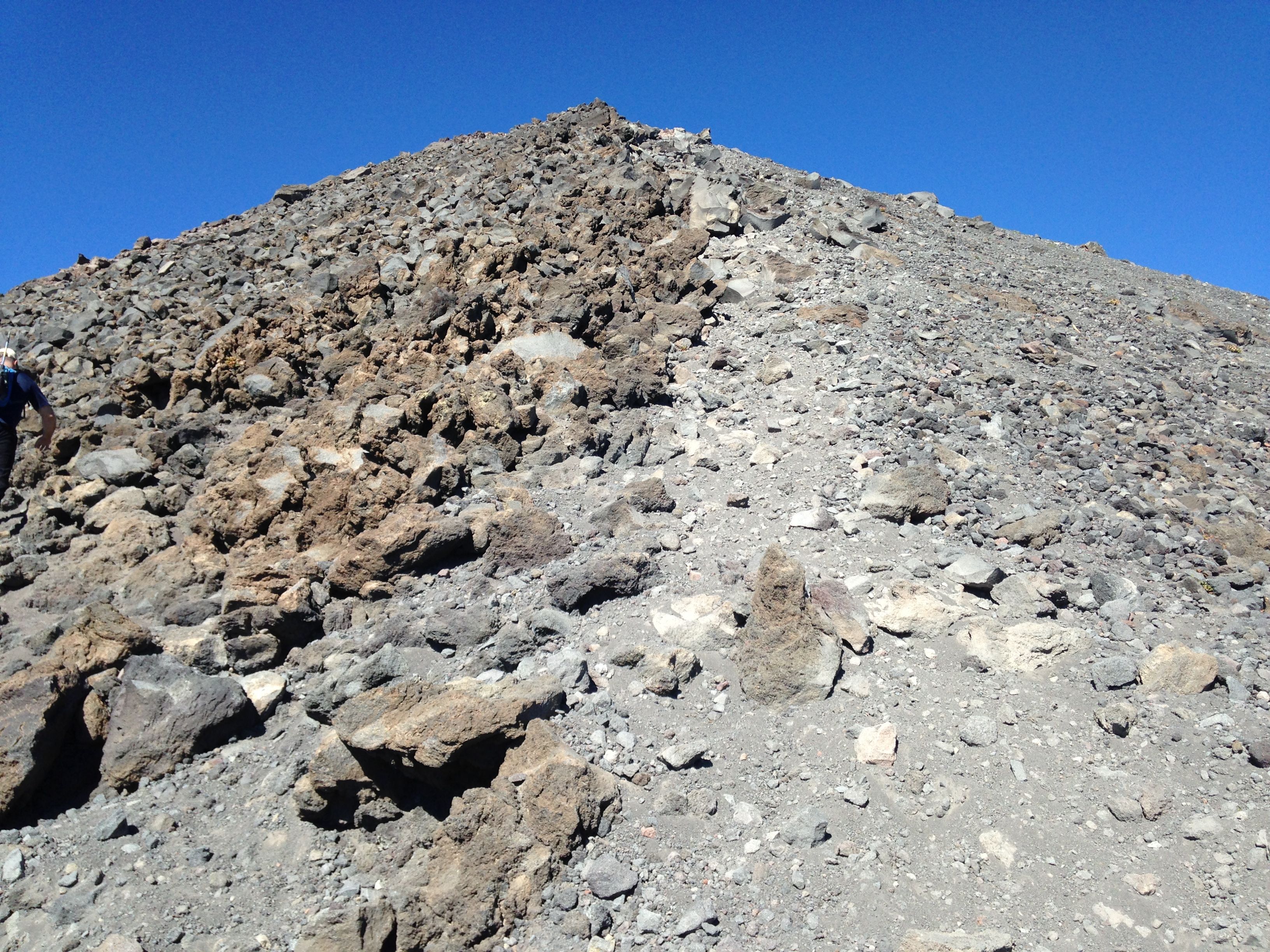
From reaching the ridge to the summit the way up is a large collection of rocks
from the size of a baseball to a small car, all jumbled together. The saving grace
is that the rock is of good quality and almost all the rocks are solid. You have
to do a little scrambling but there are very few places where a fall would be
dangerous.
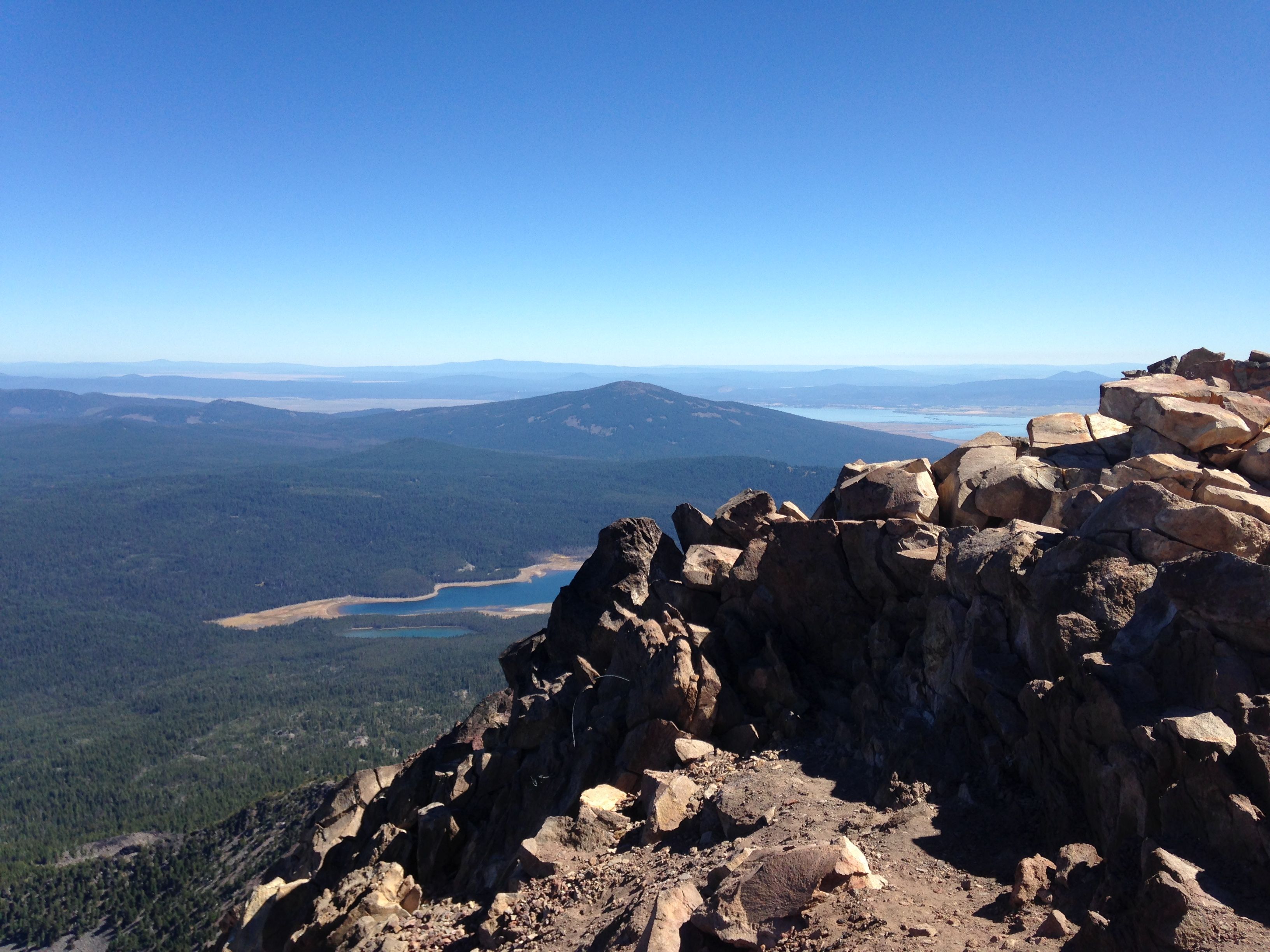
From reaching the ridge to the summit, the views are amazing. Mt. Shasta is clearly
visible sticking up through the haze to the south. You can see the summits in the
Crater Lake area as well. The summit is actually two "peaklets" one slightly higher
where were was an ammo box with an informal summit register. There is plenty of
operating room on the summit, even with a dozen visitors.
On this summit, there are no antenna trees for miles. However, there are many
crevices in the rocks to wedge a pole for an EFHW, which is what I did. The sun
was bright, it was warm on the summit (60+ Deg.) and there was practically no wind.
As such, I worked about a dozen stations before pulling the plug. Sorry to any
chasers who didn't get to work me. Sometimes you just have to take care of yourself
on exposed summits.
The descent was non-eventful and I kept to the ridge edge even closer than on the
ascent and that worked well. Even if you are clambering over some pretty big rocks,
it beats the heck out of sliding and slipping over the smaller loose rocks
lubricated with volcanic grit.
Mt. McLoughlin is a great summit to go for. Its non-technical but a pretty good work
out. Can't wait to come back someday.