I had planned to activate a few summits before helping with the Tillamook Burn 100 Miler race but it was cancelled and I had already made the overnight reservations so I decided to activate my way back from Cape Lookout to Portland via Blaine Rd / Nestucca Rd.
The second stop on my journey was W7O/NC-104 which had not been previously activated. I wondered why and took this opportunity to find out. The drive up started at Hwy 101 and E Beaver Creek Rd (aka NF-81 aka Hwy 857) which runs in about 3 or so miles to the end. Several mapping programs including Google Maps lead you to believe the road continues on but there is a large mound of dirt strategically placed to block further travel. Instead, there is an open gate to the right leading to NF-8172 which heads up the hill.
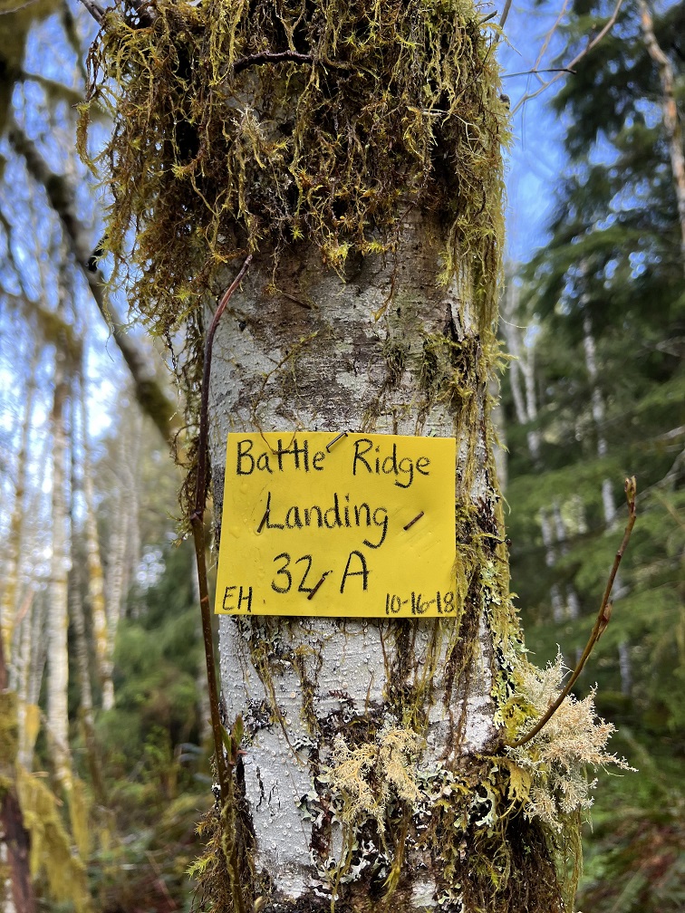
I followed this until (45.321476, -123.742495) where there is a spur road that leads to the right. I could have driven up this road for another 1/4 mile to (45.324678, -123.739024) as there is a nice place to turn around there. Since I didn't know, I decided to walk up the hill instead. There is a cut off tree with a yellow tag on it on the left (similar to the picture below) which shows the point where an abandoned cat track takes you to the summit. If you reach the second tag on the right, you've gone too far. Head left up to the summit. There is another yellow tag at the summit demarcing the location of "Battle Ridge Landing"
I worked 11 stations on 20m and then headed back down.