On June 7, 2017 my wife and I were in the region east of Canyonville, OR. After enjoying Pickett Butte, we headed to Acker Rock, another rock outcrop with a lookout perched on top. Both of these are 2 point summits.
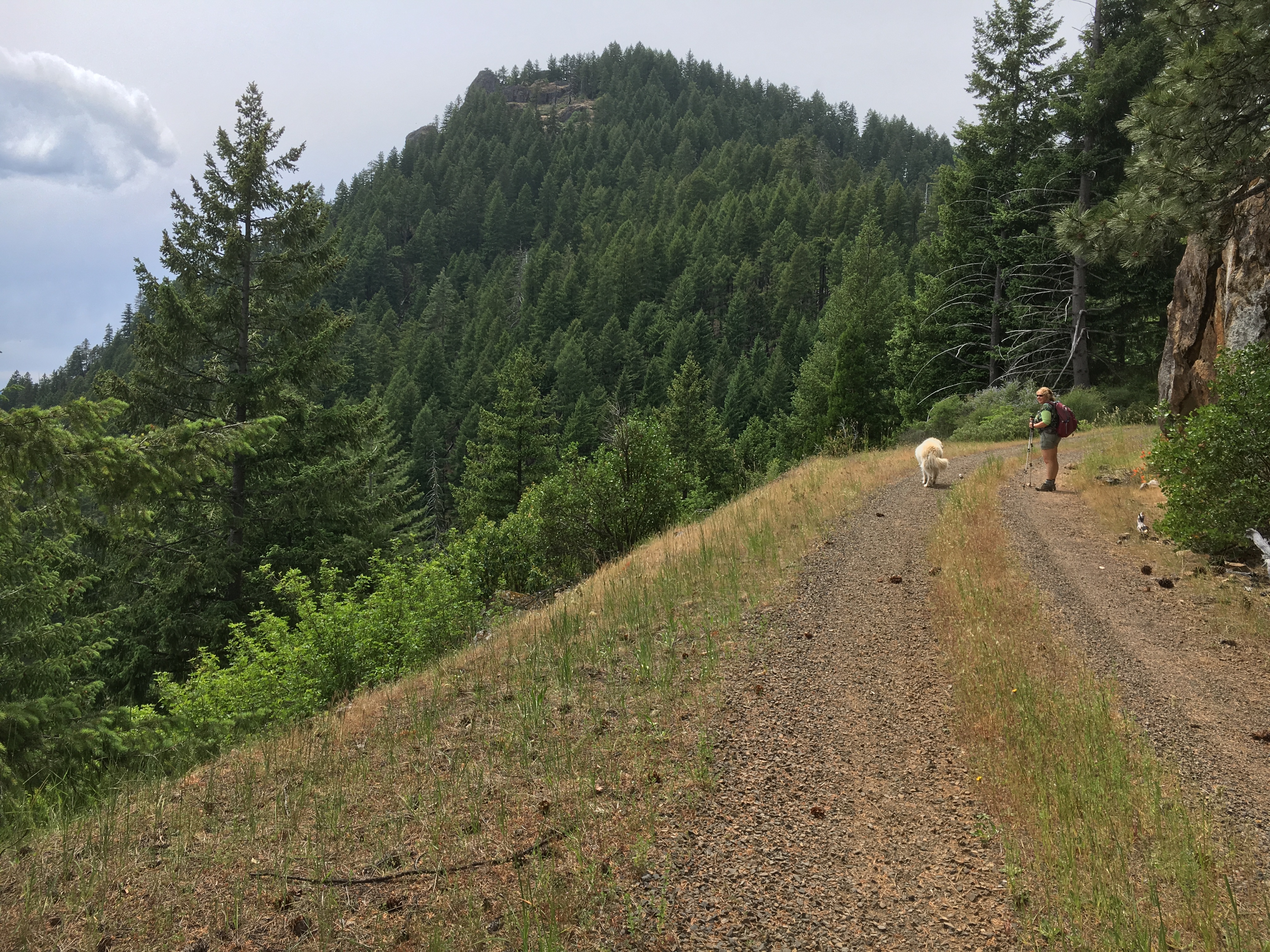
To get to Acker Rock, we backtracked from Pickett Butte to the Pickett Butte turn off bridge. We went back across the bridge and turned right onto the road we had been following from Tiller. We essentially followed the Google Maps directions, finally reaching a left turn uphill with a closed gate. Signs pointed to the Acker lookout. The trail head for the lookout trail is about one mile past the gate in a level clearing. The ascent was somewhat strenuous. The trail was easy to follow. The first mile was on a logging road. After that the trail itself headed into the woods and rose quickly to the summit/lookout. The total from the gate to the summit was about 1.4 miles with a 1400’ elevation gain. The woodland trail was in good shape and easy to follow.
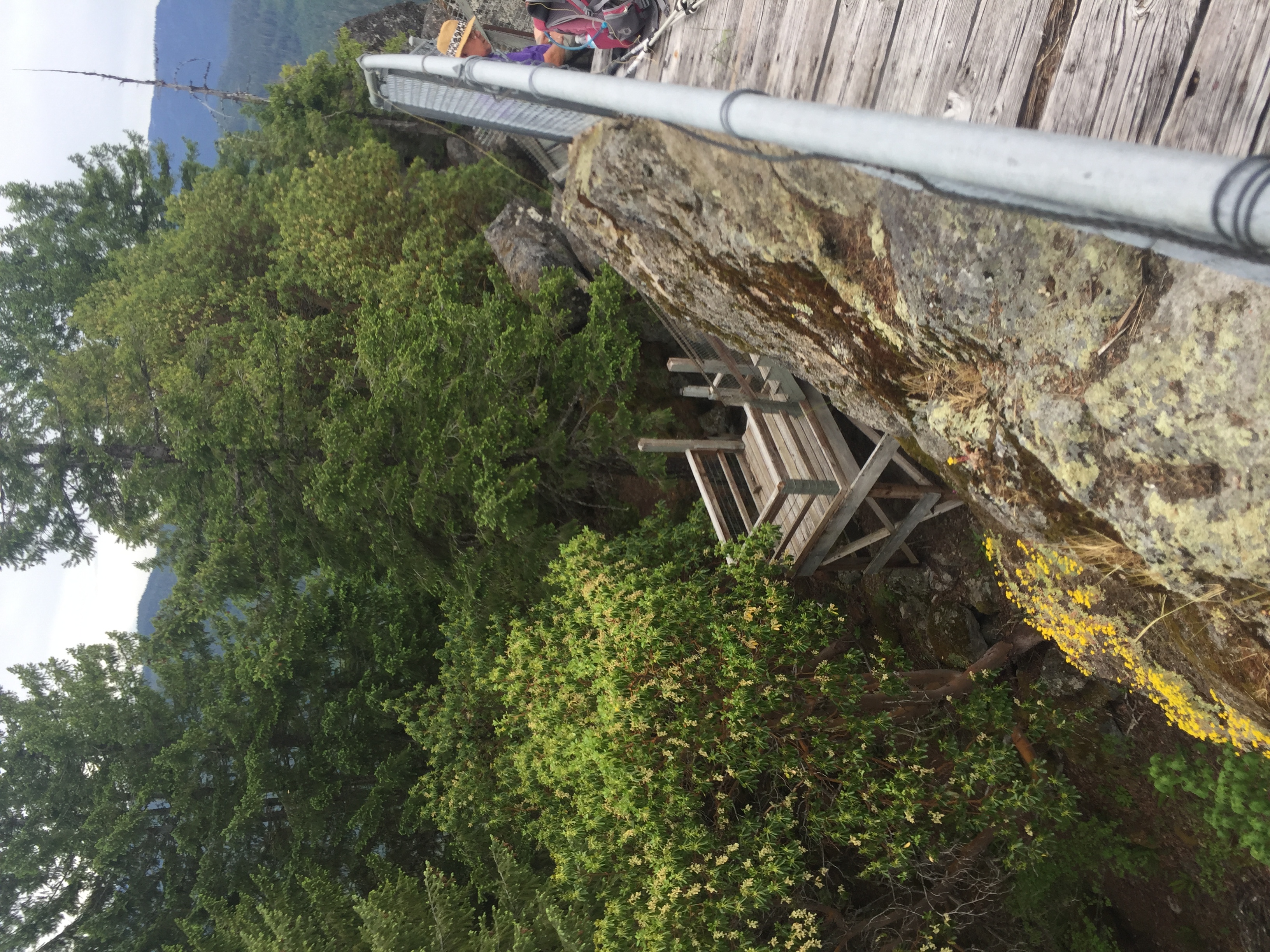
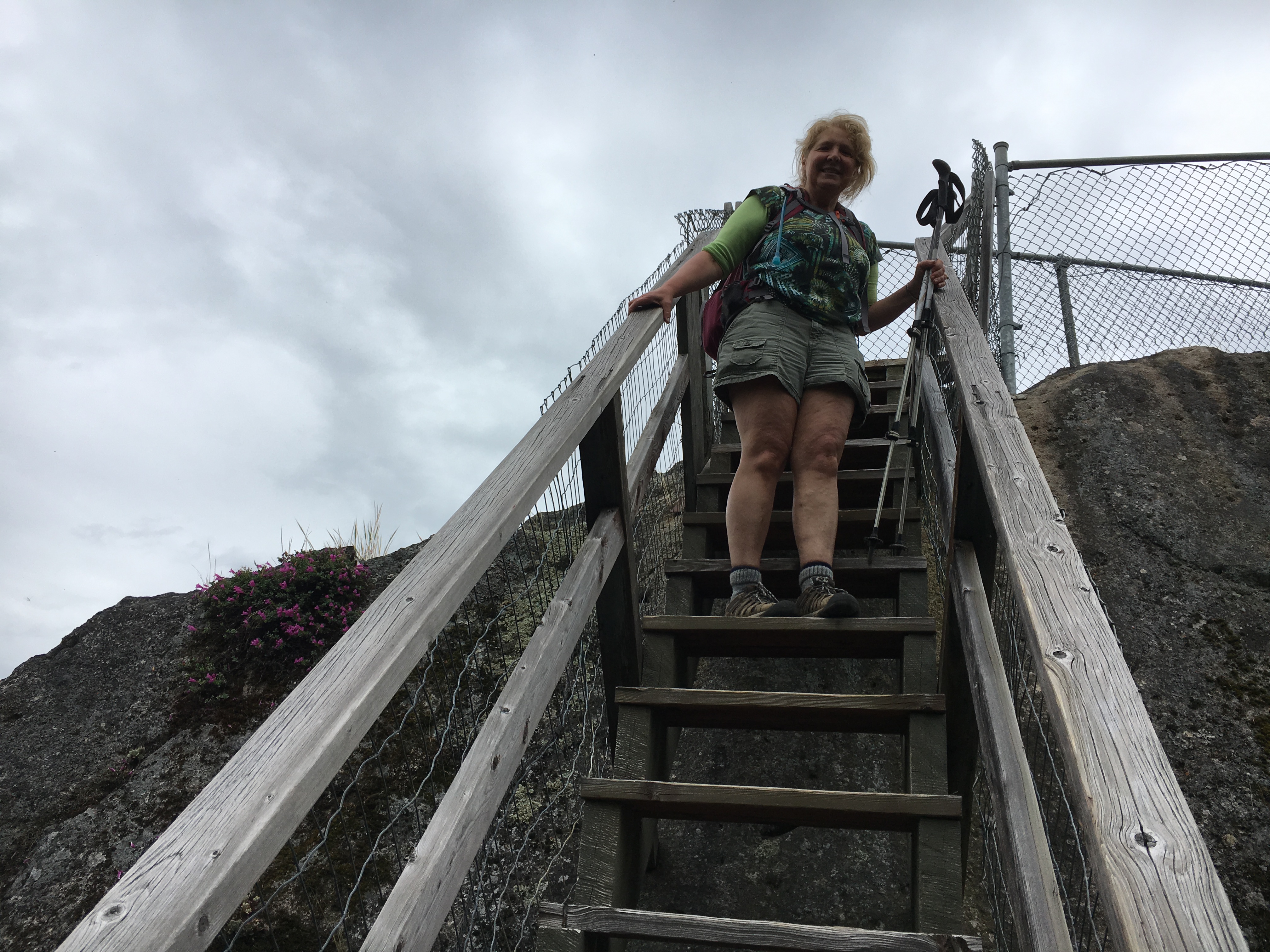
The final stairway climb to the lookout could be unnerving for those with height issues. Antenna masts can be attached to the bridgeway.and catwalk, as I did. The views were great. The wind sure whipped my carbon fiber mast around, but I had no trouble getting the needed contacts.
We hiked back down to the car and headed home. On the way out, we flushed a large bear from the road. Two bear sightings in one day! Though a bit challenging, this is a recommended activation if you are in this remote area.
From the recreation.gov site:
GPS Info. (Latitude, Longitude):
43.05231, -122.64561
43°3'8"N, 122°38'44"W
Important note regarding GPS use: please be advised that GPS units can, and have sent guests down the wrong roads to access the Lookout. Please consider following the directions below rather than your GPS unit.
Directions:From Canyonville take West 1st Street and turn onto SE 3rd St/OR-227. Continue to follow OR-227 approximately 23 miles until you reach Tiller. From Tiller, travel northeast on Douglas County Road #46 which becomes South Umpqua/Forest Service Road #28, for 18.5 miles to Buckeye Creek/Forest Service Road #29. Follow Forest Service Road #29 for 7 miles to the junction with Forest Service Road #2838. Turn left (north) onto Forest Service Road #2838 for 1.5 miles to the Forest ServiceRoad #2838-950. (On the left) Follow the Forest Service Road #2838-950 for 1.5 miles to the trailhead. The Acker Rock Trail #1585 is .4 miles, and requires a moderate to steep hike to reach the lookout. Forest Service Road #2828-950 road is closed with a locked gate. Vehicle access past the road gate is permitted with your reservation, but other users may hike from the gate to the lookout during your stay. Placing personal locks on the gate is not permitted as agency personnel may need to access the site.