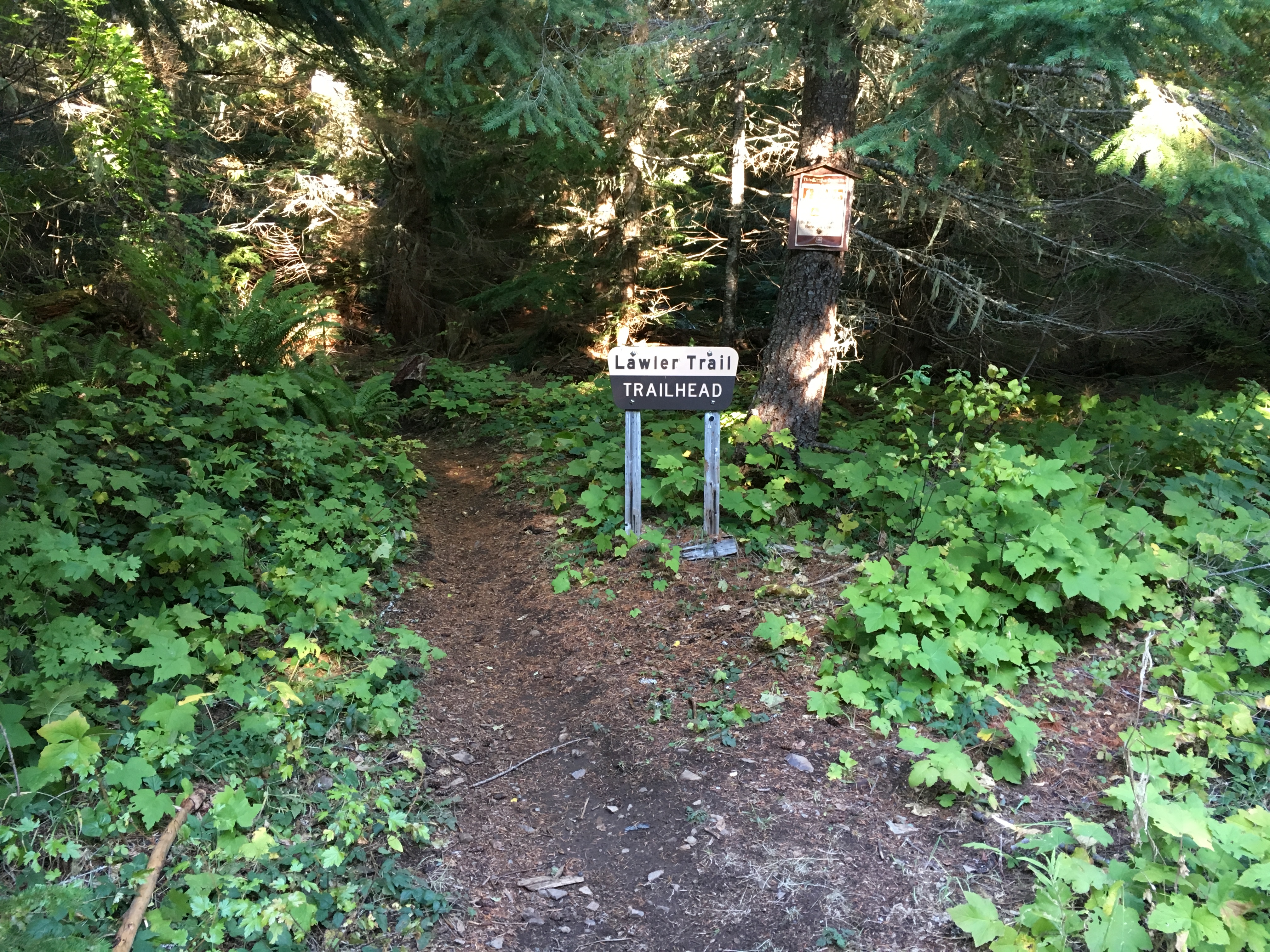
Patterson Mountain is a 4460’ asl summit a few miles west of Oakridge, OR. It is rated at two points. To get there, drive east on Highway 58 for 24.7 miles from I-5 Exit 188A. Between mile posts 24 and 25 turn right on gravel Patterson Mountain Road 5840 and drive five uphill miles to a fork at Patterson Saddle. Turn left on Rd 1714 and go 3.1 miles to a left turn on 5847. Follow that for 200 yards and then turn left on possibly unmarked Rd 555 and go another 0.4 miles. The trailhead is on the left, but it was labeled “Lawler Trail”.
Nevertheless, take this trail to a fork about 0.7 miles and go left. You will pass a wet meadow on the right. In about a quarter of a mile, there is a fork that can be taken to the right to Lone Wolf Shelter. Continuing along the main trail on what seems to be the trail you have been following leads around to the right (north) side of the Patterson summit. If you have a GPS, you can take this trail until you are close to the summit, and then bushwhack uphill to the summit’s activation zone. Evidently there is a somewhat obscure trail that follows the ridge line from the fork where the offshoot to the shelter was. This trail may be a quicker route to the top, but it is faint and overgrown with a fair amount of wind throw. I had trouble finding that trail, so I followed the north side trail until the uphill bushwhack seemed doable. I did not get to the rocky clifftop but was easily in the AZ. This is in the forest, however.
This sounds challenging, but it wasn’t bad at all.