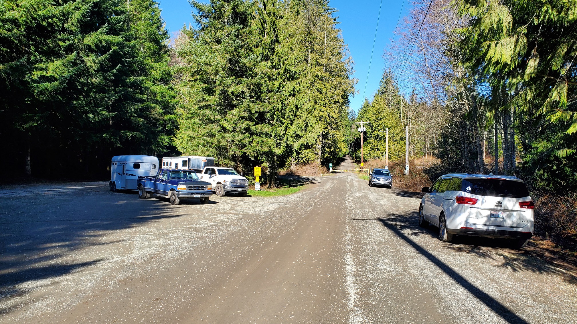
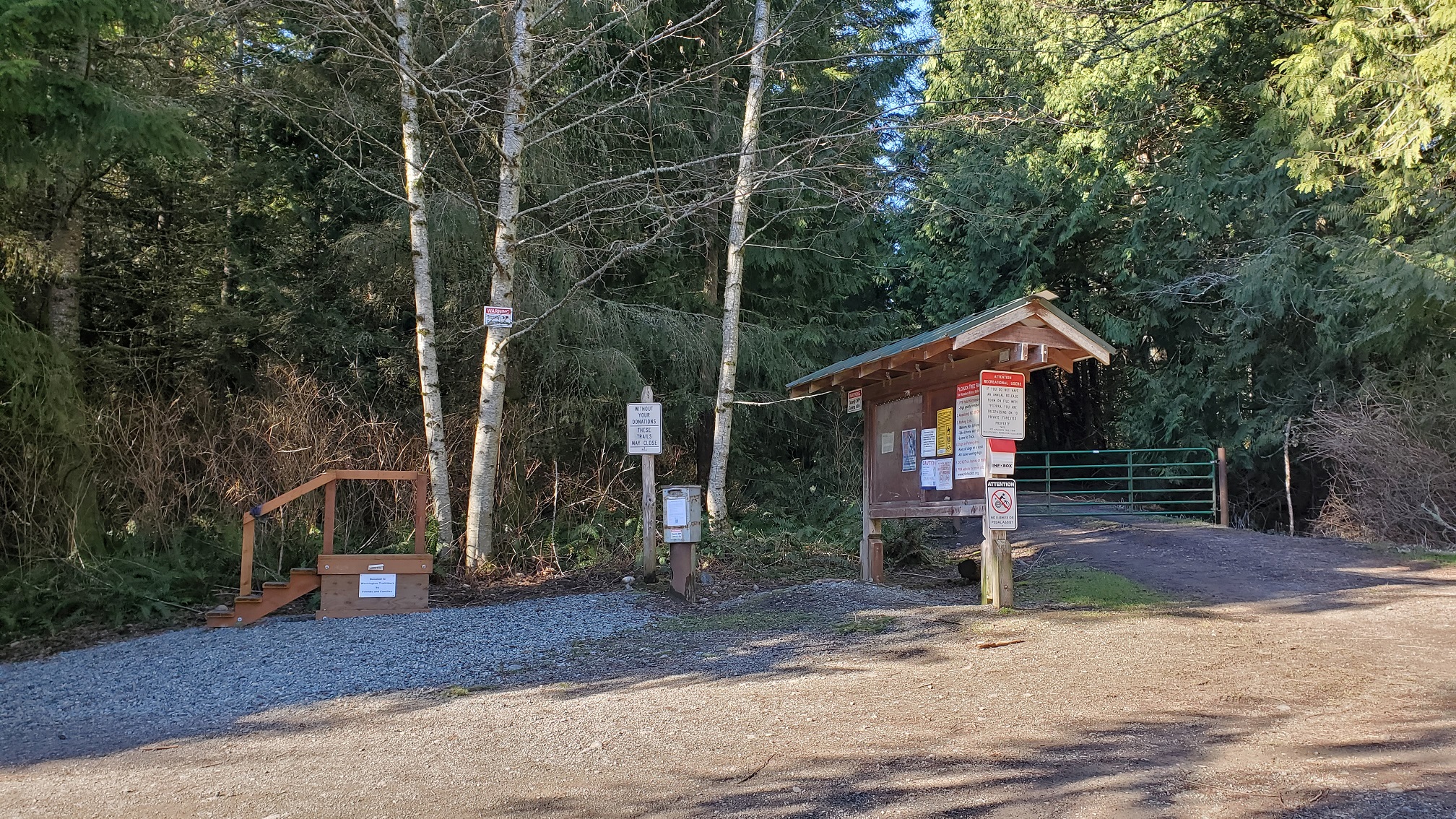
McMurray Benchmark is a 1-point summit located near I-5, just northeast of Stanwood, WA. I had driven by the entrance (where you turn north onto 12th Ave NW) in the past, but saw a no tresspassing sign and wasn't sure about driving up the road. This time, after I turned onto 12th Ave NW and drove 0.5 miles to the parking area... I was surprised at how many cars were parked at the trailhead. As long as you fill out the waiver form near the entrance, you are not tresspassing when you hike to the summit. Below is a link with more information about the area.
Directions:
In summary, I followed Google direction to the Pilchuck Tree Farm Trailhead. Getting to the parking area is short ~10 minute drive from I-5.
Take I-5 Exit 215 (300th St NW / Freeborn Rd), and head east. In 0.9 miles turn left onto English Grade Rd. In 1.2 miles, turn right onto 316th St NW. In 0.8 miles, turn left onto 12th Ave NW. Trailhead parking is in 0.5 miles.
Parking & Trail:
When you arrive at the trailhead, there is an information area where you fill out a waiver form. Filling out this form is required once each year. There was parking along the road, and other spots for horse trailers. On a sunny February weekend, there were quite a few people walking dogs, riding bikes, hiking, and a few riding horses.
Thank you to Josh WU7H for posting GPS tracks, shown on sotl.as and sotamaps. This was the best way to reach the summit, and it was ~3 miles total and about 600 feet of gain. The trail is mostly a road hike, with only a short trail near the summit. There are no views at the summit, but about halfway into the hike... there was some nice views looking south toward Mount Rainier. There were many friendly people along the way, and one person mentioned they got lost the last time they were there (since there were so many trails). Always recommend you have downloaded maps, and it was straightforward to follow Josh's summit path.
Summit:
There are no views from the summit, but it was a nice wooded area. A few people walked by the trail while I was there, but it was very quiet. Using an Elk antenna, I was able to make contacts on 2m and used a PackTenna end-fed for HF contacts.
Overall, I enjoyed activating this summit on a sunny February day.