This second day of the NA SOTA Weekend dawned wet and misty, but with the promise (unfulfilled, as it turned out) of clearing at some point, and it wasn't really raining. So Joe K7ZG drove us to Green Mountain, where we intended to find the road that allows a drive-up to a parking area somewhat below the summit. I thought this road was north of the Gold Creek Trail trailhead parking area, but I wasn't sure how far or how it would be marked. We turned around before we got to it (as we learned later, see below), and decided to just do the entire hike.
The Gold Creek Trail is not well-marked. At one point on the ascent, we were walking in what seemed to me to be around the mountain instead of up toward the summit. I spotted a turning in the "up" direction, under some utility lines. I remembered hearing there was a "power line trail" that most definitely went toward the summit, so we took it. It was in the right direction, but it is quite steep and, with the misty rain and lots of exposed rock, it was slippery in places. Turns out this trail returns to the trail we'd been on, but higher up, so I suppose it can be called a shortcut for the very fit.
At various unmarked trail crossings, we generally chose “up” and bumbled our way to the top. At the summit, it was foggy, and the picnic tables were wet. We set up the 44ft doublet and I started calling CQ on 40M before I remembered we needed to try 2M. W7MWF, a friend who knew to listen for us, was our only contact on that band.
Back on 40M, I called CQ for a good 5 minutes without response. I tried 30M for somewhat less time, again no joy. On 20M we heard signals, so I felt hopeful. Joe logged for me, as tiny droplets piled up on everything (the log was a little soggy at the end). After a few QSOs had been completed, the keyer paddle I had brought along (not my usual one, which was broken from the previous day’s activities) started running away with itself. I think water had gotten into the contacts -- it's never done that before. So I resorted to my emergency straight key, made from a microswitch, and worked a few more with sloppy CW, made worse by moisture and cold.
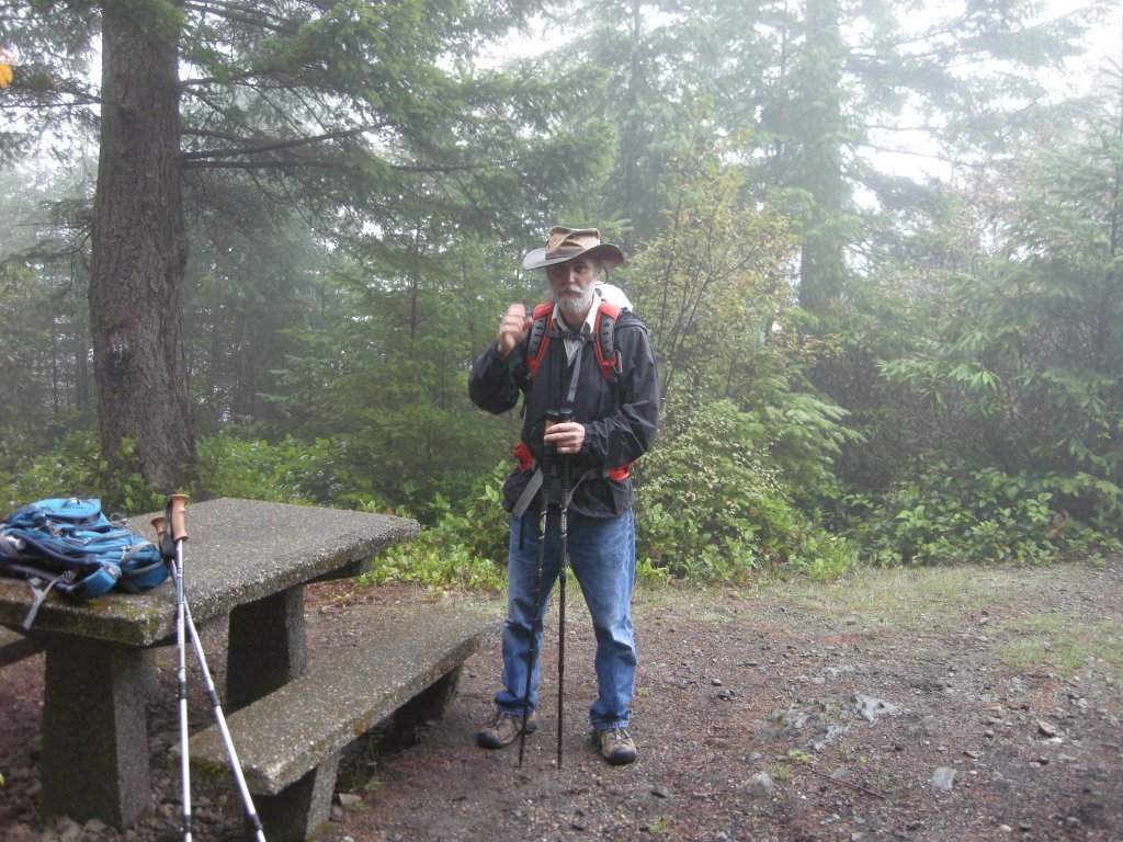
As soon as the replies to CQ petered out, we shut down, packed and left. Just as we were leaving, Joe remembered to take a picture.
We worked one on 2M FM and made 11 QSOs on 20M CW, into WA, CA, AZ, NM, KS, NC, and MN.
Many places on the internet list the 10 essentials for hiking, one of which is to have a map. If you go to Green Mountain, you'll find a map and compass very useful, as the signage on the Gold Creek Trail, Wildcat Trail and Vista Trail is miserable.
Here’s a map I located, well after the activation and only with a great deal of poking around:
http://wa-dnr.s3.amazonaws.com/publications/eng_rms_green_08_full.pdf
In case this link breaks, I found it on the WA DNR website, under:
Managed Lands
Forest and Trust Lands
Green Mountain and Tahuya
Then search the page for a “trail map” link.
I have been to Green Mountain once before, and Joe K7ZG has been there several times, so I didn't figure we'd need a map. And we did get by, but I found myself confused and uncertain at several points, and in one case we went 5 minutes down a trail that we reversed to make a different choice.
I suppose because equine, mountain bike and motor bike use is permitted here, the trail is peppered with newish, metal signs on 4x4 posts that say things like "warning, trail crossing", and even "STOP" (red octagon and all). A few, much older signs indicate that you're on the "Gold Creek Trail", but sometimes these are at an intersection and without an arrow to tell you which direction the trail actually goes. Most intersections don't have trail name signs at all (but might have a stop sign).
According to the trail map, you’ll take Gold Creek Trail from the trailhead until you intersect with Wildcat Trail, where you should turn right, then right again on the Vista Trail. It was never clear when we were on Wildcat Trail, and I don’t remember any signage that mentioned the Vista Trail, however, if you get to the Vista parking area, it’s just UP from there.
On weekends from 6/1 to 10/15, you can drive near the summit on the Vista Road, indicated as GM-1 on the map mentioned above. This is the road we looked for (but did not reach) as a first choice route to the summit. We tried again after completing our trek and we found it easily once we knew about where it was. The road was in good shape, but it is only one lane, so watch out for pickups towing horse trailers coming toward you.