South Fork Mountain can be a drive up. It is somewhat less than a mile from NF-4540 on an unmarked road. The fork off of NF-4540 is at approx. 45.101, -122.249. From here a high clearance vehicle that you don't mind getting scratched is required. The road is quite overgrown and has drainage ditches cut across it at various places. It opens up a bit before you get to the top, so you can park and make your final ascent by foot. I had to drive to the top after activation to turn around. A shorter wheel base vehicle might be able to avoid that.
I don't have turn by turn directions as I also activated Wanderers Peak that day and was at times confused as to actual location. (Never say lost). However, it looks like Google maps will get you to the turn off nicely. Be sure NOT to take the route up from Memaloose Bridge as that is still closed. You want to be on 211 looking for Hillocockburn Road, then NF-45, then NF4540, and finally the road previously described.
There is also a trail up to the top from another location, and you could of course, walk or mountain bike the unmarked road.
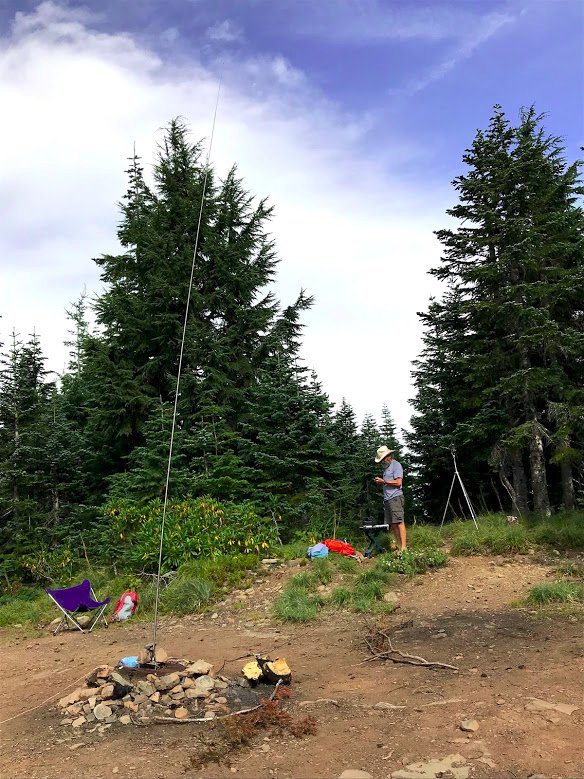
The summit is quite open, but there are trees in the activation zone. I put up a vertical and was able to make a S2S to AZ on 20M-SSB, as well as a bunch of contacts and S2S on 2M-FM.