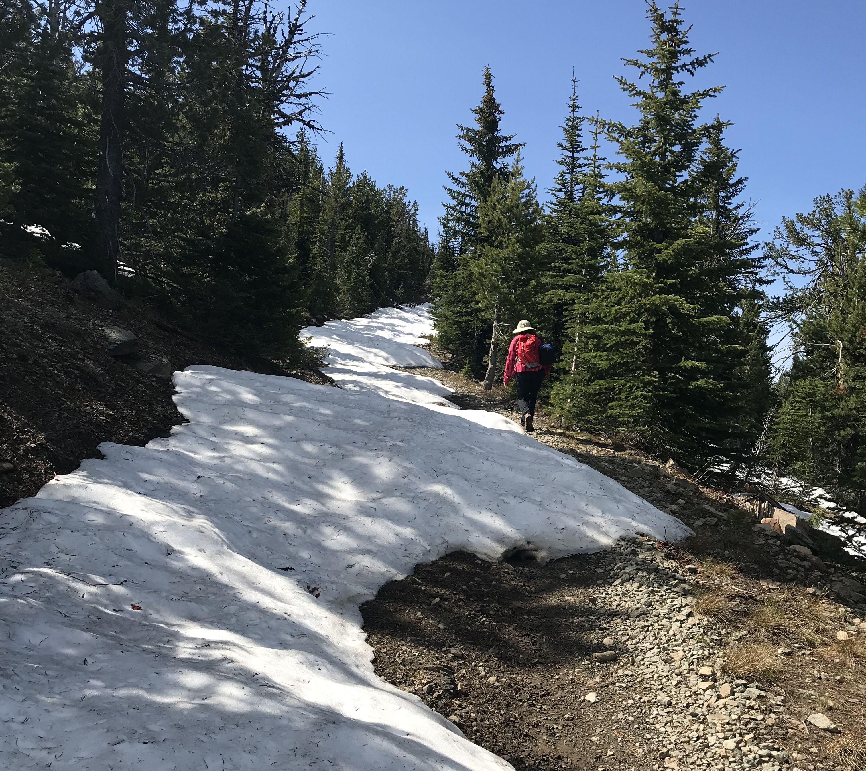
Vinegar Hill is located in Oregon above the Middle Fork of the John Day River near Bates State Park. The veiws from the top are spectacular. It is easy to find as there is a sign from the Middle Fork road pointing to forest road 2010. It reads 13 miles. The first six of those are good gravel accessible to any car. The next six are rutted and rocky and require a high clearance vehicle. The last mile is available to a 4x4 in late summer or early fall. When we were there on July 1st the road was blocked by snow, so we walked the last mile and 650ft of elevation. The summit has the ashes of the lookout that was once there and is very rocky. There are no trees at the summit. Bring a pole, leave your stakes.
I did not talk to any SOTA mountain goats while up there but we did try to make contact with a family of eight real mountain goats while there.