Nipple Butte is a peak in the Malheur National Forest.
"Take Hwy 26 East to Mt. Vernon. Turn left on 395 and head north for 11 miles. Take a right on road 3940. Stay on this smooth gravel road for about 7 miles. You'll come to a fork.... Take a right over the cattle guard where you'll see a road sign #3947. Travel this road for about 3/4 of a mile. Look for the unmarked trailhead on your right. It looks like an old road with logs and trees across to deter motor vehicles. Walk a half-mile on the road, then scramble up to the left and to the ridgeline. “
I found this description on summitposts.org. It worked pretty well. I found the 7 mile turn at 6.6。and didn’t find the 3/4 mile “trailhead” at all.
So we started bush wacking at about mile 0.8 (not really sure exactly where as we drove more than a mile and then turned around). We walked towards the summit until running into the old Jeep track. We followed that up until it ended and then followed an intermittent trail and my gps to the top. On the way down I tried to follow the Jeep track back down to better inform the next activators. It petered out in a meadow and was at times less conducive to hiking than our bushwack up. YMMV.
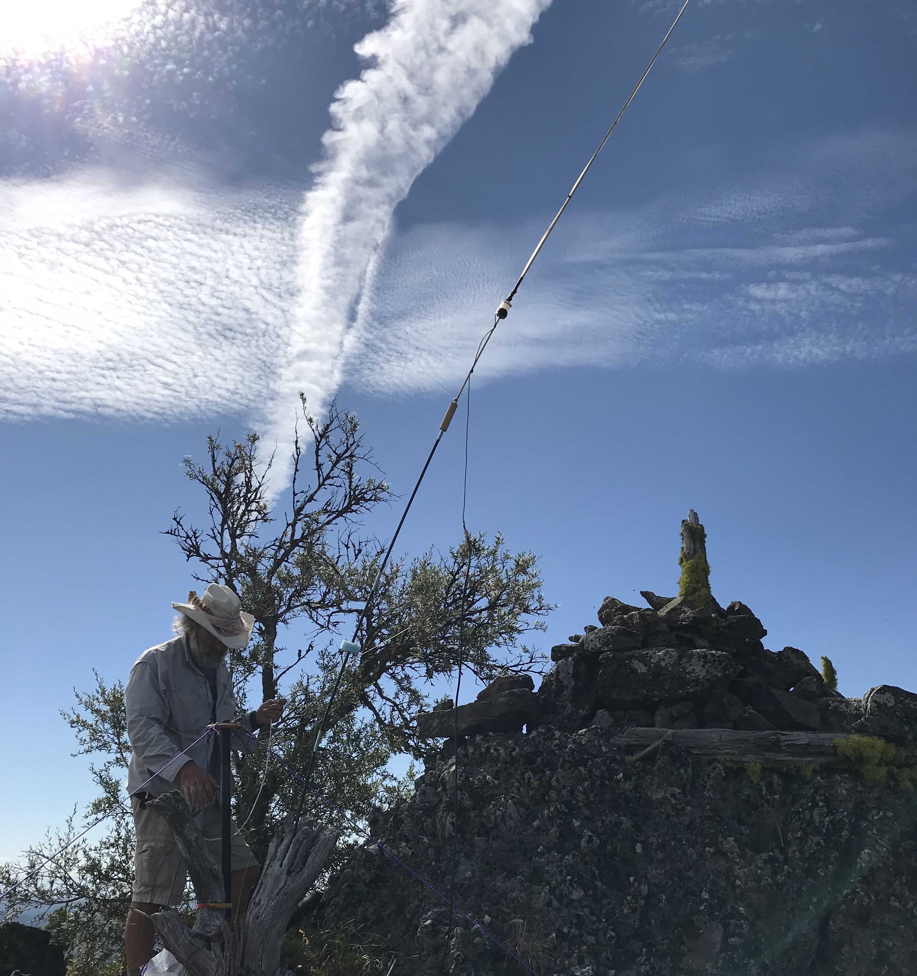
The top is very rocky and narrow. I had some issues anchoring my 20m dipole. There are some trees and maybe an EFHW or other long wire may be more easily set up.
Made six SSB contacts relatively quickly. No 2m although I learned later a station in John Day heard me but did not respond. Need to work on more smile in my voice or something.