My friend John K7JRO sent me an email on Friday night saying he was going to activate Goat Peak the next day. It was going to be a trip with the Seattle Mountaineers, and therefore a very short, 2m FM only activation. I decided it would be fun to surprise him by getting myself on to a nearby summit. After looking at SOTLAS for a few minutes, I found a likely pair of summits: Mount Josephine and Mount Josephine West. Clint KJ7LLS had previously activated these two, so I pinged him on Slack and he graciously provided information. Woot!
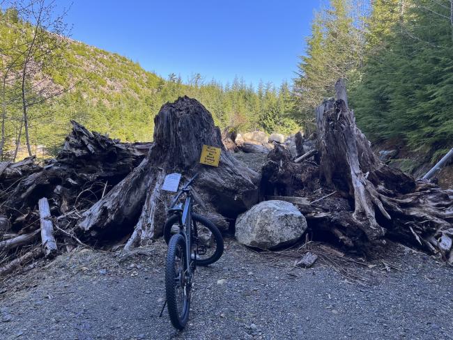
WW7D and I met up in Woodinville around 8AM and headed north with mountain bikes in the back of his truck. About 1.5 hours later, we arrived at the trailhead. Mount Josephine used to have a fire lookout tower, and it used to be possible to drive up nearly to the summit. The land is now owned by Sierra Pacific Industries, and they have put in a huge roadblock consisting of dirt mounds topped with slash. Ugly but effective. Once you get past the roadblock, the gravel forest roads are in great shape.
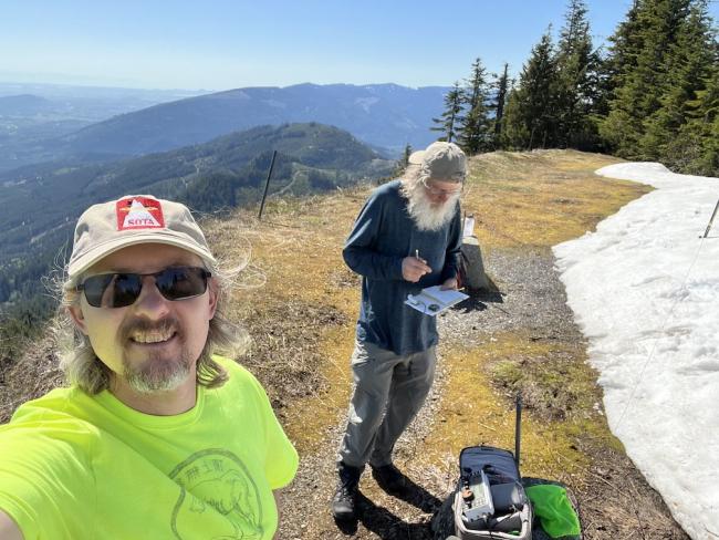
We decided to do the closer of the 2 summits first: Mount Josephine West, a 2-point 3261' summit. From where we parked to the summit was only about 1 mile and ~500' of gain. We made quick work of it on the mountain bikes. At the top is a landing where we ditched the bikes. The true summit is littered with slash, but we found a shady spot with a nice stump to set up the radio on. We chased S2S and eventually did some runs on 20/30/40 while waiting for John to arrive on Goat Peak. We were tracking John via his InReach, and started calling him once we saw he was on the summit. He was very pleased to get 2 contacts (and S2S!) right away, and was able to get a few more without too much effort. In all we raked in 13 S2S contacts - DX was Spain and France. Not a bad haul. We went QRT around 20:00 UTC (about 1h 45m spent on the summit).
We headed off toward Mount Josephine. The first mile took only a few minutes as it was steep downhill. The next couple of miles was not too steep and we made good time. About 1 mile from the summit we hit DEEP snow and had to ditch the bikes and walk. Luckily the snow was still pretty firm since we did not bring snow shoes. From the roadblock to the summit is 2.8 miles and 1300' of gain.
Mount Josephine is a fantastic summit! Amazing views of Baker, Twin Sisters, and all the other surrounding peaks. And of course Rainier to our south. On this beautiful, HOT day in the spring we didn't encounter another soul and had the summit entirely to ourselves for a couple of hours. It was truely SOTA bliss. We ran the bands and even got a few S2S despite it being later in the afternoon. I got a bunch of JA's on 15.
The walk back down went quickly. About 30 mins to get to where we left the bikes, and then about 10 more minutes to get back to the truck. After we loaded up we headed to the Skagit River Brewery in Mt. Vernon for some food and beer to celebrate another great SOTA outing.
Getting there: the forest roads you need to drive on are in good shape. Just about any car could make it. I made a CALTOPO map that has the driving route and the hiking route. I recommend you download this to your GPS or GPS app on your phone (or print it out) as there are a lot of roads and you could easily take a wrong turn.
Here is the map: https://caltopo.com/m/GD90E
Click on the 'export' button in the upper left.
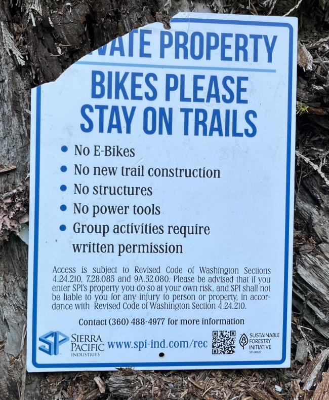
There are several parking spots at the top so I doubt parking would ever be an issue. A Discovery Pass is required since you have to traverse state lands to get to the trailhead. There is a sign posted with some restrictions (see below), most notebly eBikes are not allowed.


Road GATED as of 16th MAY 2023
See my note here: https://www.sotadata.org.uk/en/summits/article/36116/view