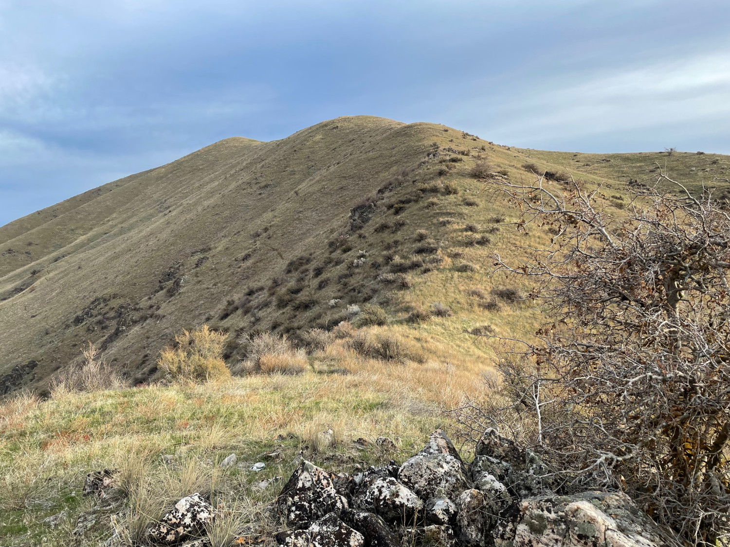
Today was to be my second activation of Mount Maria just north of Horseshoe Bend, Idaho. A different, more direct route up the south ridge was planned.

Today was to be my second activation of Mount Maria just north of Horseshoe Bend, Idaho. A different, more direct route up the south ridge was planned.

I started out the day with much enthusiasm. This was a yet to be activated summit which made it a tad more exciting. I knew it would be an easy trip to the top, having ridden my mountain bike to within a quarter of a mile from the summit last year. All the gear (well, almost all the gear) was packed up the night before with a total weight of about 13 pounds, including bike repair items just in case.
This afternoon was another attempt to reach a non-activated summit. Good roads in from the south, but unfortunaly, private land that was very well marked by brightly colored fence posts every 50-100 feet for miles and miles.
Looking up at the peak, I could see no other fence lines, so my guess is the summit is privately owned as well.
Oh well, at least I can forget about this one and move on to other known accessible peaks.
I decided to head to the town of Emmett, ID to check out of couple of summits. First on the list was Peak 3410 which is on BLM land. Unfortunately, to get there is a bit of a challenge and I was stopped early on in the trip, about 5 miles away. It was the start of a dirt road with a very clearly marked "No Tresspassing" sign.
It would be interesting to see if there is a way in from the north, maybe via Big Willow and Sucker Creek Roads, but that will have to be a trip on another day.
Yesterday's SOTA adventure took me to the top of Mount Maria near Horseshoe Bend, Idaho for a first time activation. The hike up was right at 1 mile in length and took about 45 minutes. The last section was very steep, so had to slow down the pace quite a bit.
The view from the top was spectacular. To the south you could see the town of Horseshoe Bend. To the southeast, Shafer Butte. To the north was a nice view up the Payette river.
Great day weather wise, about 70 degrees and sunny. Hardly a breath of wind on the top.