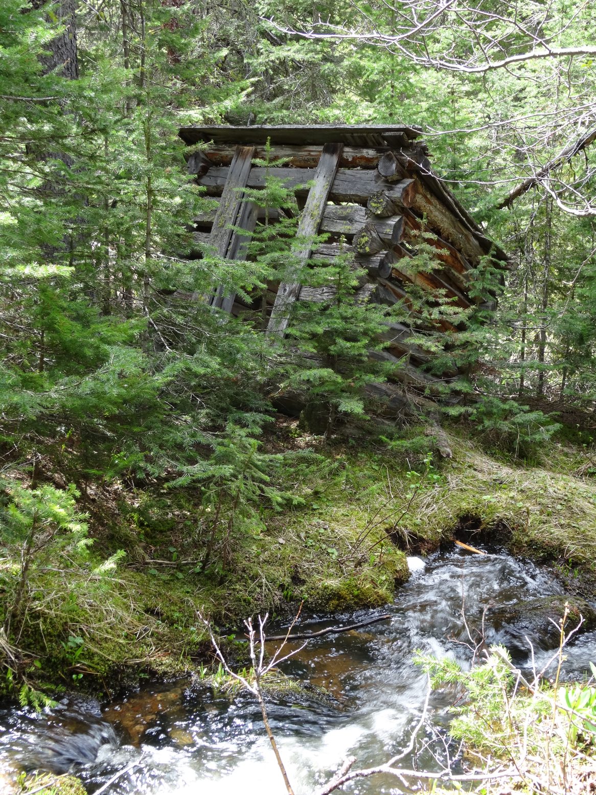
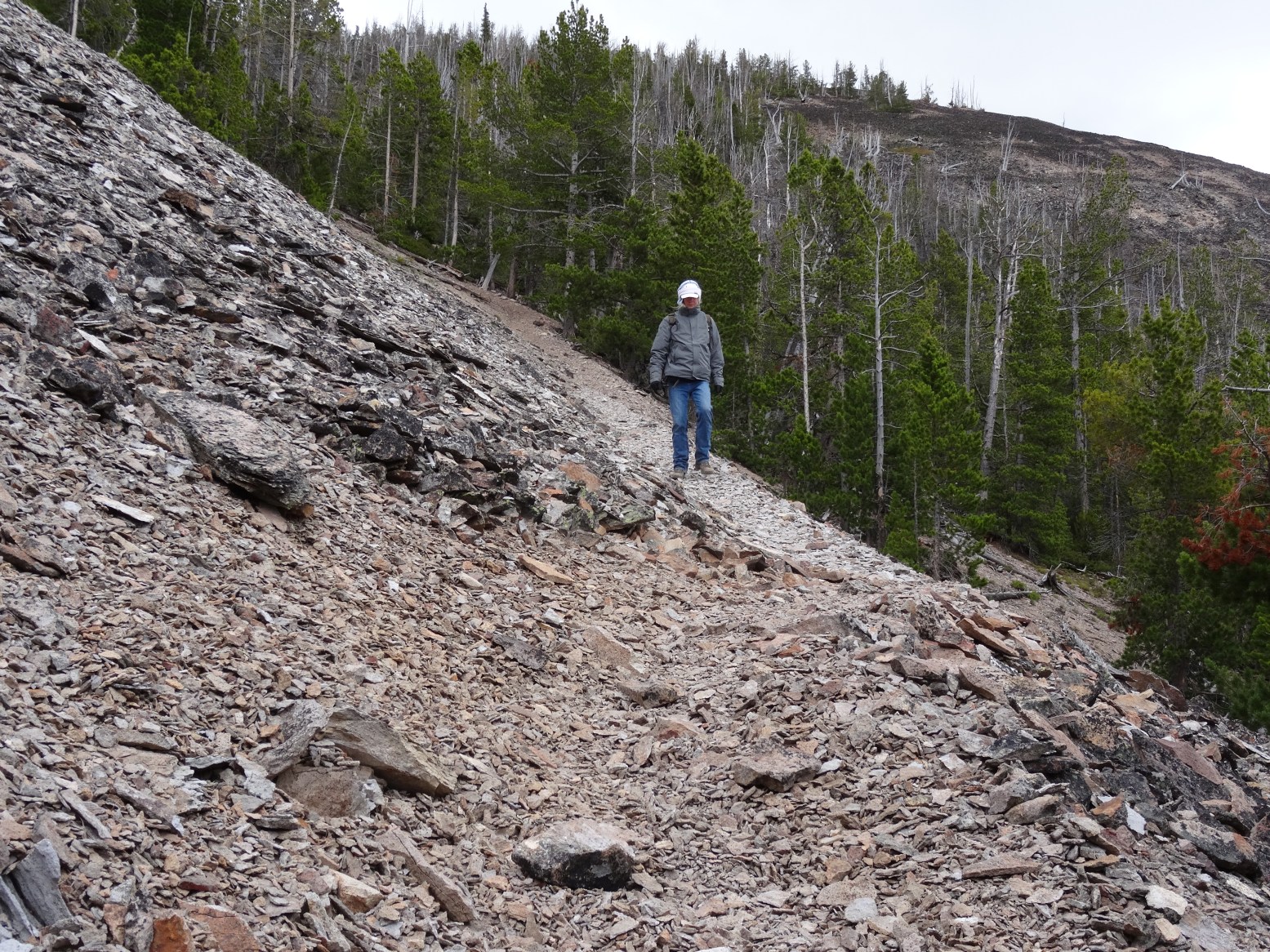
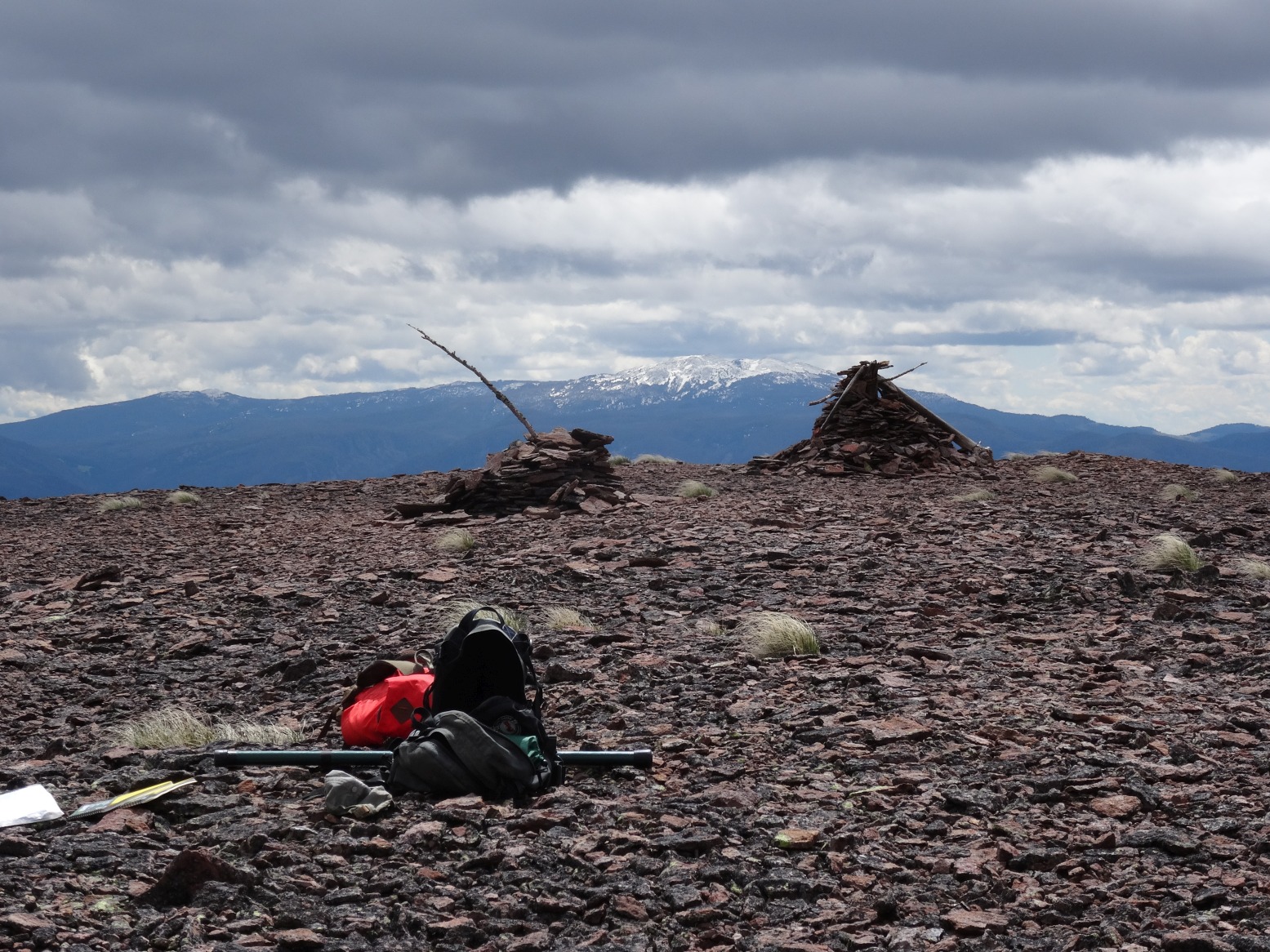
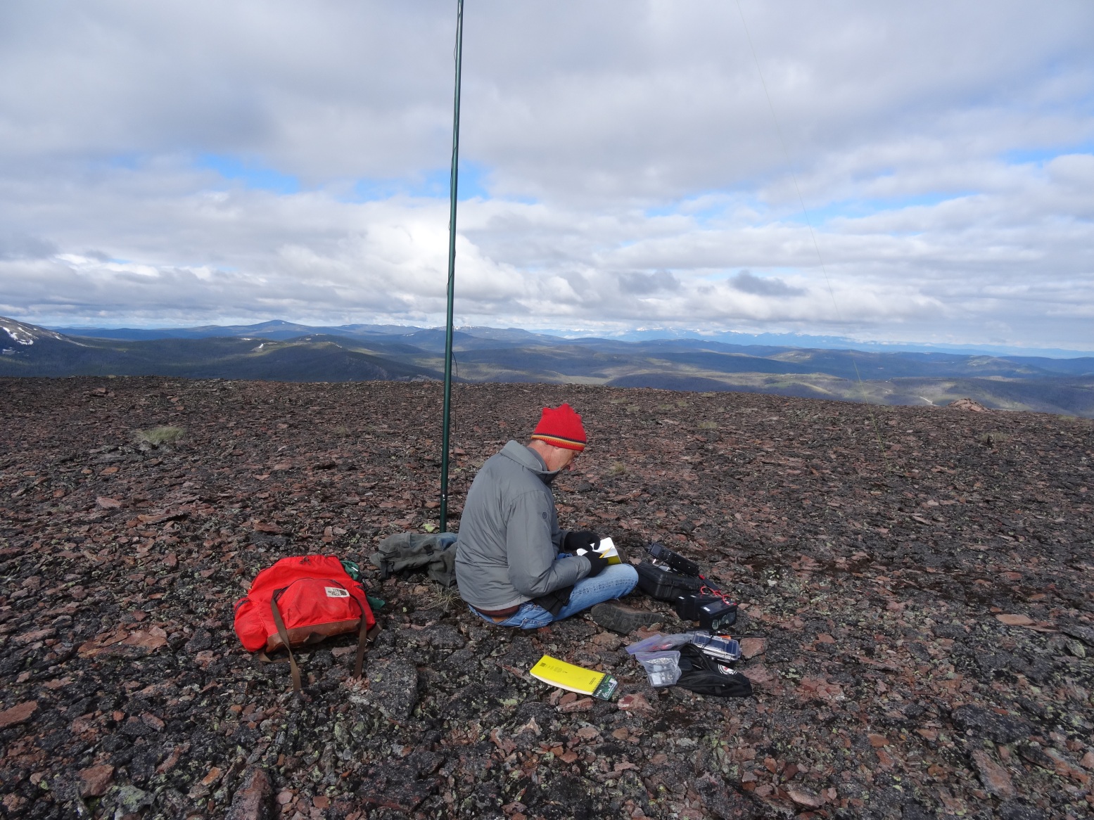
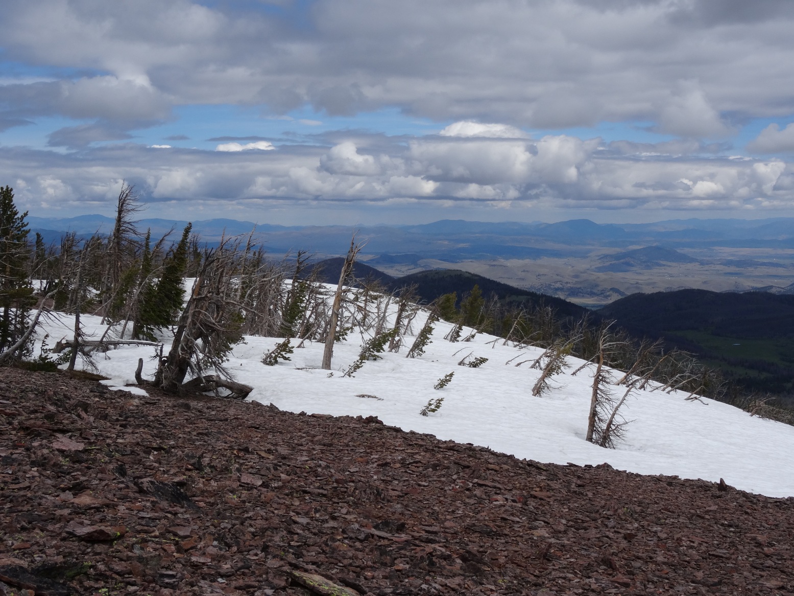
Drive south from Rimini on the Banner Creek Road. The trailhead is 0.3 miles past where city flume crosses under road (above the switchbacks). The road is suitable for 2wd vehicles. Park on the west side of the road in a small unmarked parking area. The Trail begins on the south side of the small creek that drains the valley on the South side of Red Mountain. Follow the trail as it crosses the creek, passes between some old mine buildings and begins ascending the heavily forested valley. The trail will parallel the creek through forest and eventually break into a more open subalpine basin, where it leaves the creek and begins winding up the lower slopes of Red Mountain. Continue following the trail as it cuts up a talus slope and then finally ascends up a steep gully to the Red Mountain Ridge. The trail becomes very faint as it climbs the gentle, broad forested ridge to the summit. The summit is an expansive, open dome of red rock that provides ample space for any imaginable antenna configuration. The trail is 2 miles, with 1,700 vertical feet. This is one of the finer trails in the Helena area. Expect some blowdown along the lower portions of the trail.