2.2 miles, +1,180 ft, -380 ft (From Dean Lake); 16.9 mile approach from Silvertip TH
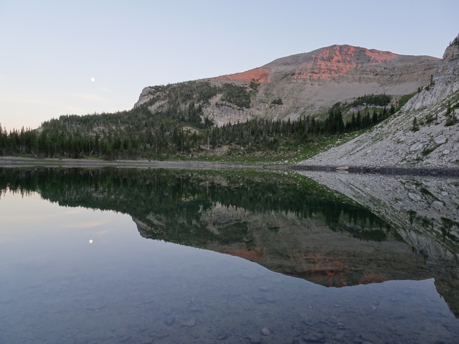
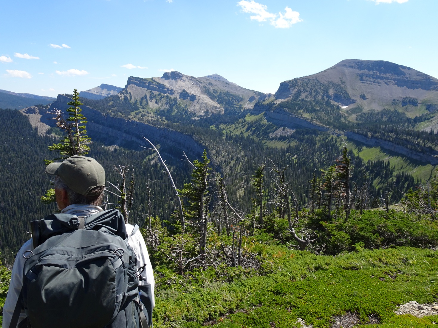
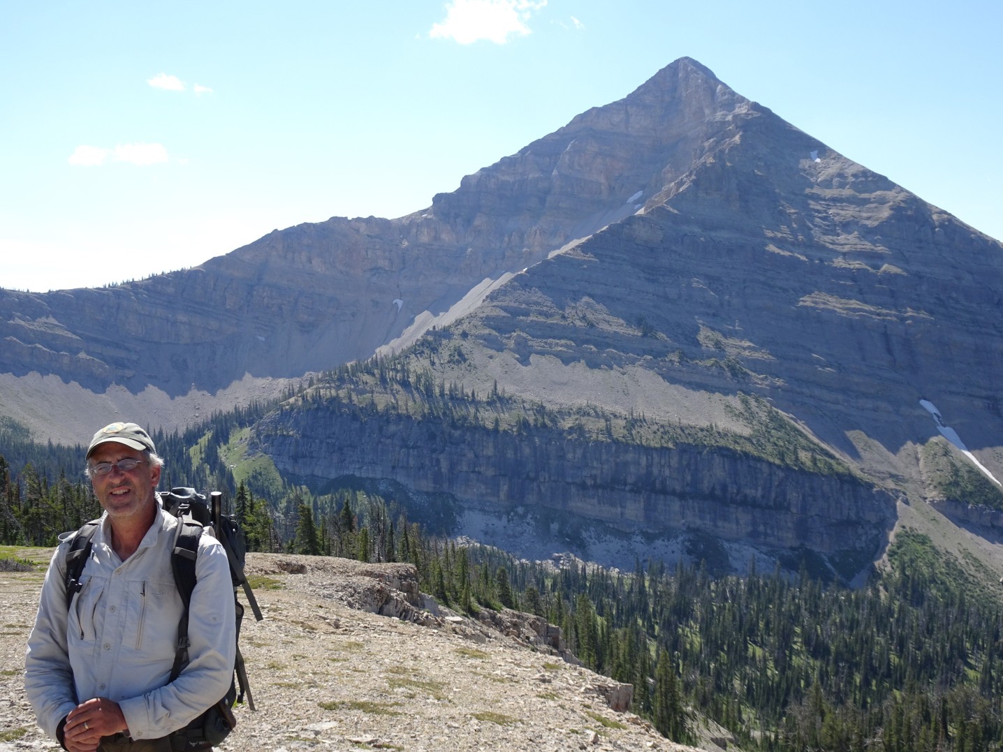
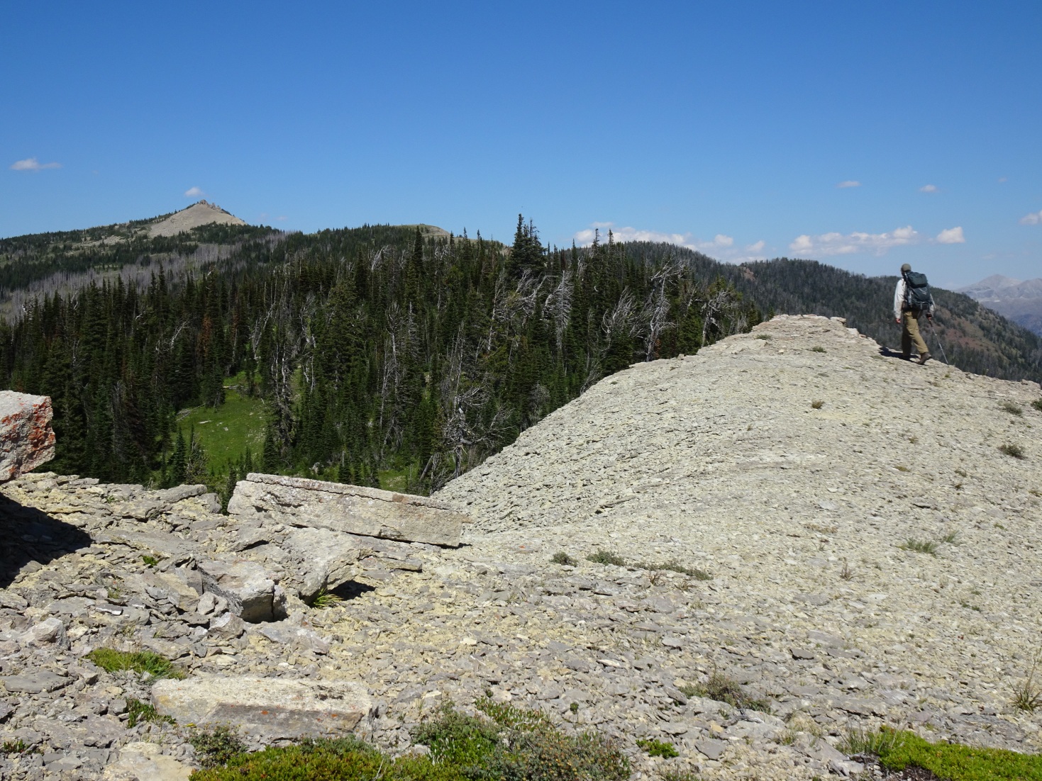
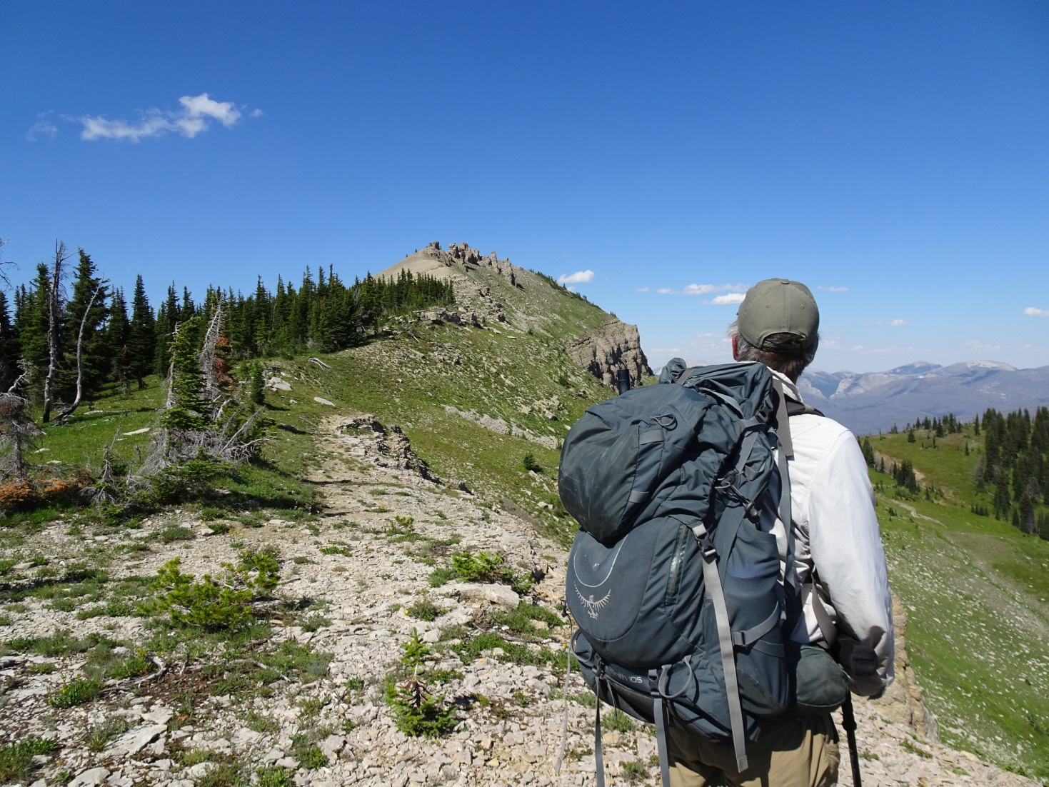
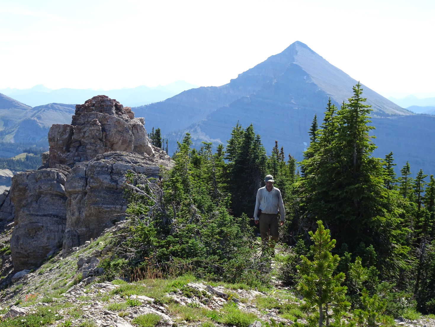
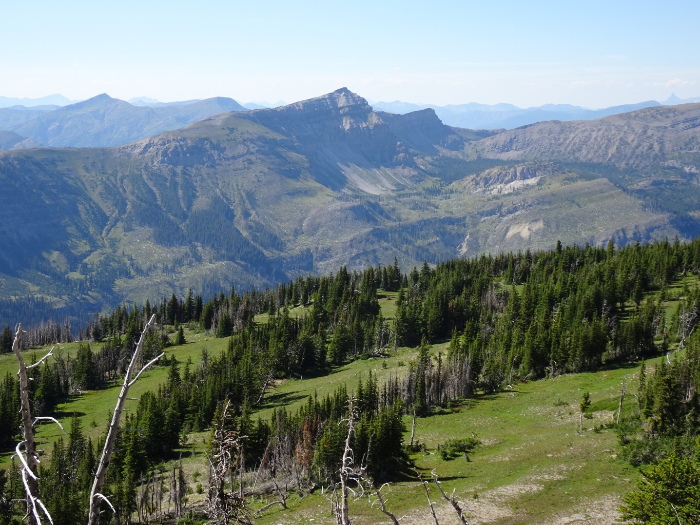
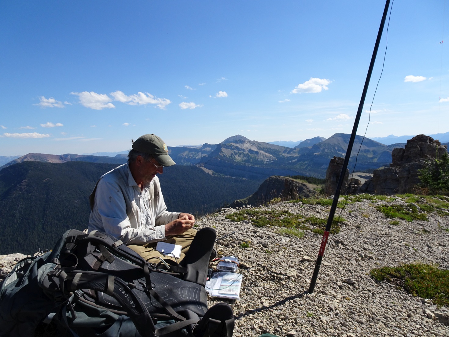
We named Peak 8170 “Fortress Mountain” due to the blocky outcrop that forms the true summit. Although we were not able to ascend this final outcrop without undue exposure and risk, the ridge to the north is well within the activation zone and nearly as high. This summit was a pleasant ridge walk through gamey meadows from a beautiful campsite at nearby Dean Lake. Be particularly “Bear-Aware” on this hike – it looks like prime Grizzly habitat and we saw lots of sign. Although the summit is on the west side of the Continental Divide, it overlooks both the headwaters of the North Fork of Sun River and the headwaters of the Middle Fork of the Flathead drainage. The entire North Fork area was burnt in 2007 by the huge Fool Creek fire, which fortunately never came closer than about 2-miles to “Fortress Mountain”. The view to the north looks past the Trilobite Range and northwards into Glacier National Park.