(1.5 miles, + 930 feet)
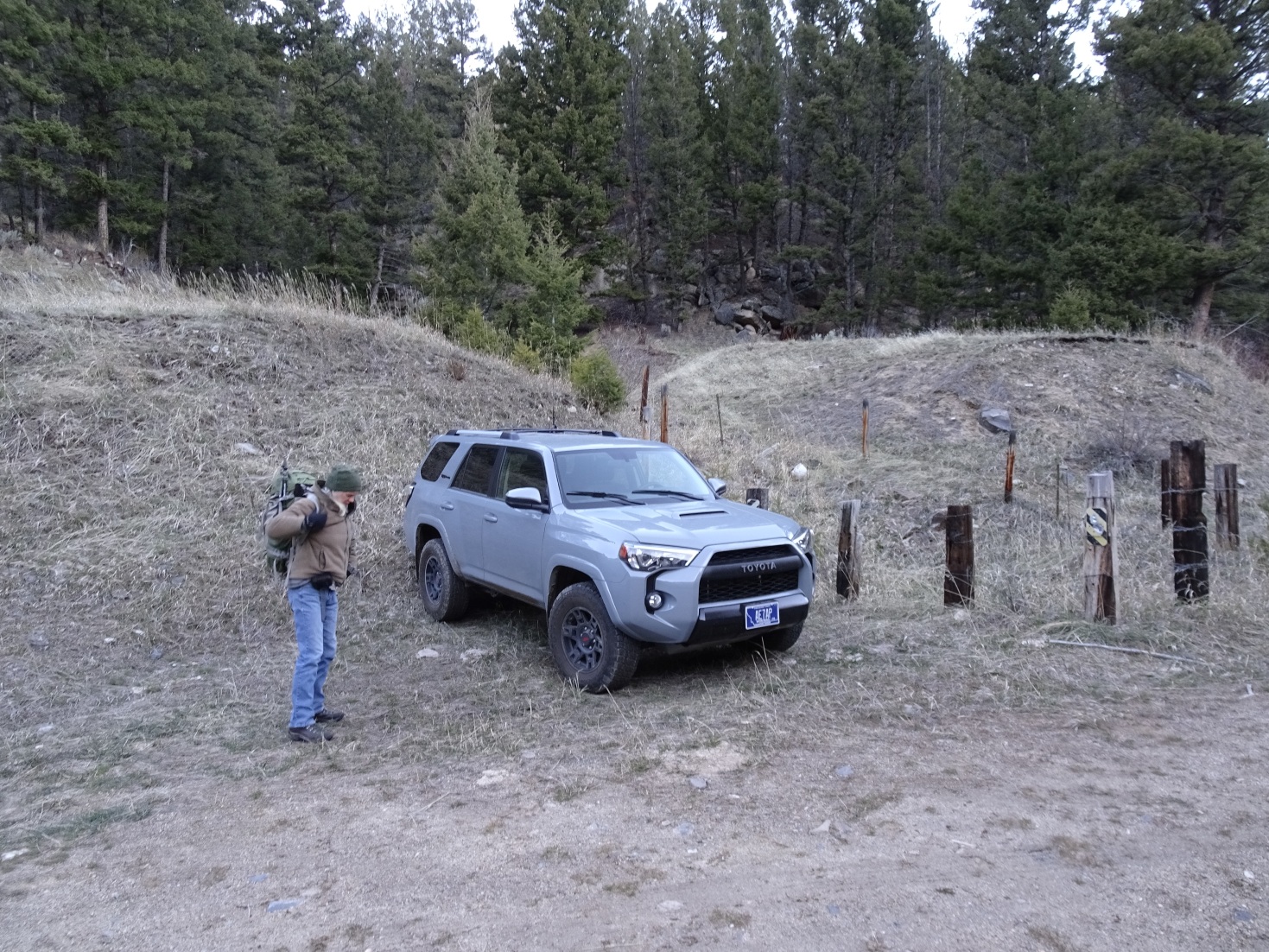
From I-15: Take Exit-99 (Moose Creek) & head east up the Moose Creek Road towards the Humbug Spires Wilderness Study Area. Drive 2.9 miles up the Moose Creek Road (gravel) & park on the left side of the road near the fenced culvert that conveys flow for the drainage to the north under the road. It is likely best to climb directly up this drainage. I will describe the route that I took, which is a bit more circuitous, but still quite nice.
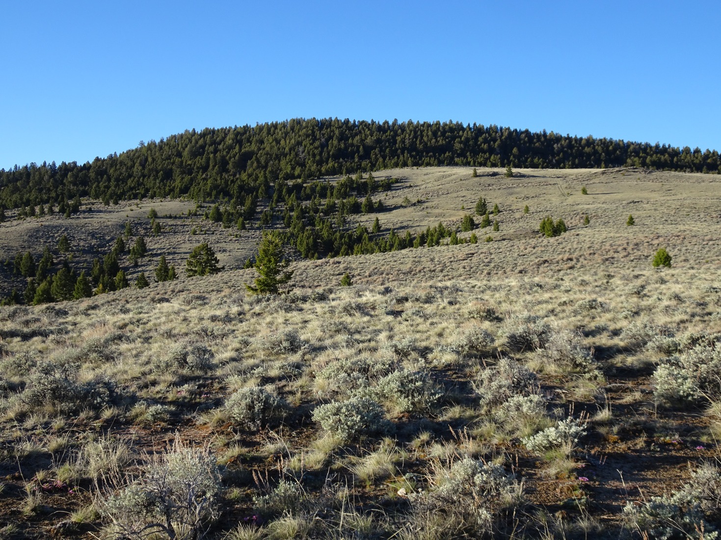
From the parking area, walk about 100-yards up (east) the gravel road and then follow the obvious path that heads up (north) the drainage between W7M/BR-155 & W7M/BR-150. Follow the path up the drainage & then turn left (west) off-trail and head towards the summit. There is a broad valley that you can either cross directly, or contour around. You will cross the Spring Creek “road”. This road shows up on Google Maps, but I don’t know whether it is accessible for motorized use. I am pretty sure there is no access from the Moose Creek end, but it may be worthwhile to investigate whether there is access at the northwest end of the road where it passes under the Interstate.
This summit combines nicely with W7M/BR-150.