(0.6 miles, + 560 feet)
This summit is on USFS land & is covered by the Beaverhead-Deerlodge-Central map. The area is open to motorized vehicles on designated routes Dec.3 – Oct. 14.
The trailhead may be approached either from the north (Moose Creek / Maiden Rock I-15 exit), or the south (Melrose I-15 exit). The northern road has two stream crossings that could be problematic during high runoff. The road from the Melrose exit (Trapper Creek Road) is better. I suspect that the very best access is to travel up the Trapper Creek Road to the small town of Glendale & take the dirt road north (and eventually east) from there. I did not try this.
I drove in from the North, and drove out using the (reversed) route description below:
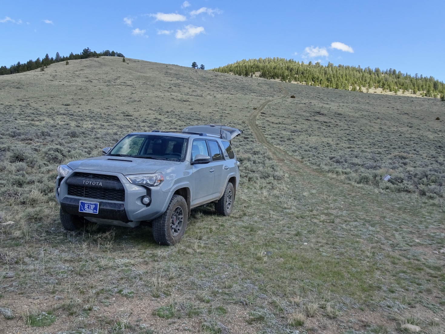
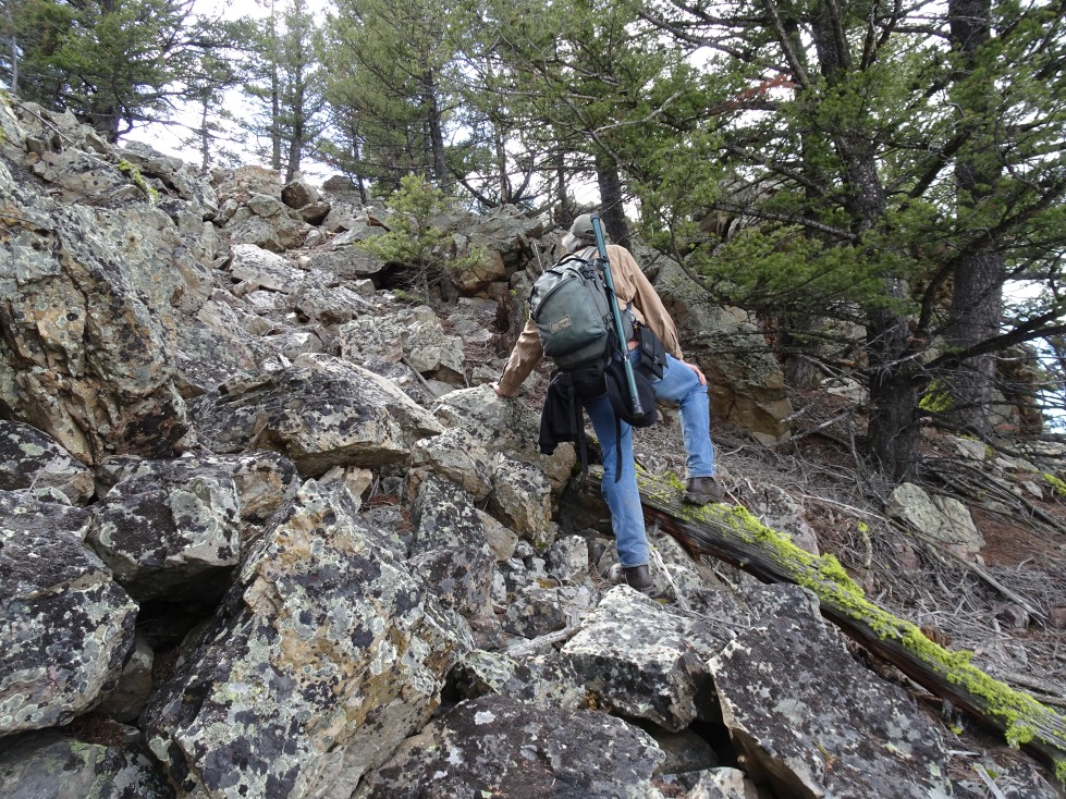
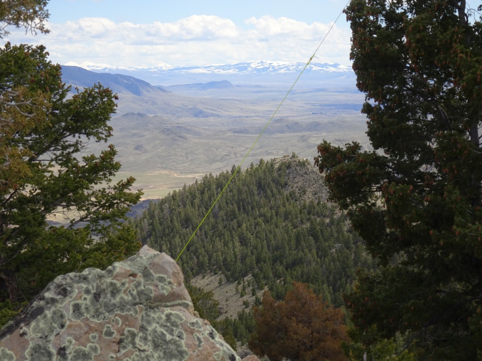
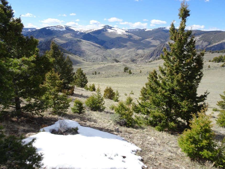
From I-15: Take Exit-93 (Melrose) & head west up the Trapper Creek Road. Drive 3.4 miles & turn right on the 2-track. Follow the 2-track north past the impromptu shooting range & continue north about 0.9 miles to a fork. Continuing straight (left) heads towards the southern side of the summit (I didn’t check this out) & looks like a reasonable approach. I turned right & continued on. The road will cross a small irrigation ditch 2 or 3 times. Head up Dry Hollow Gulch (NNW-ish), generally taking left-turns whenever the road forks. The road will curve to the left (west) & go over a low pass. W7M/BE-192 is on the left (south). Look for the 2-track that heads partway up the north slope & park where it “T’s” off the main road. This secondary 2-track is closed to motorized use. The climb is straight-forward with no complications. There are nice views of the surrounding country.
Note that the roads are 4wd, but not particularly rough or difficult. A map is advisable.
Be sure to also activate W7M/BE-189. You can retrace some of the previous 4wd path & get to it’s trailhead easily.