4.6 miles, 2,200 feet
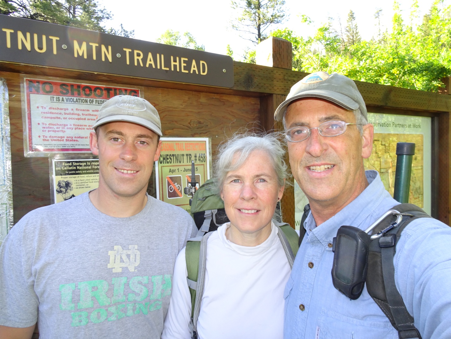
This is a very nice hike on a well marked trail.
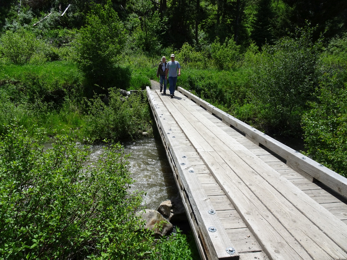
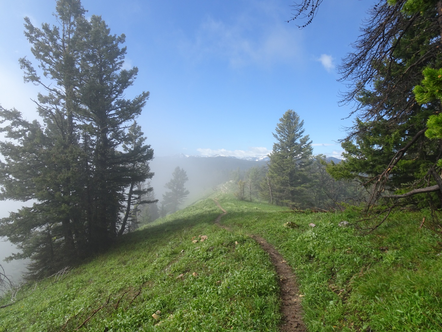
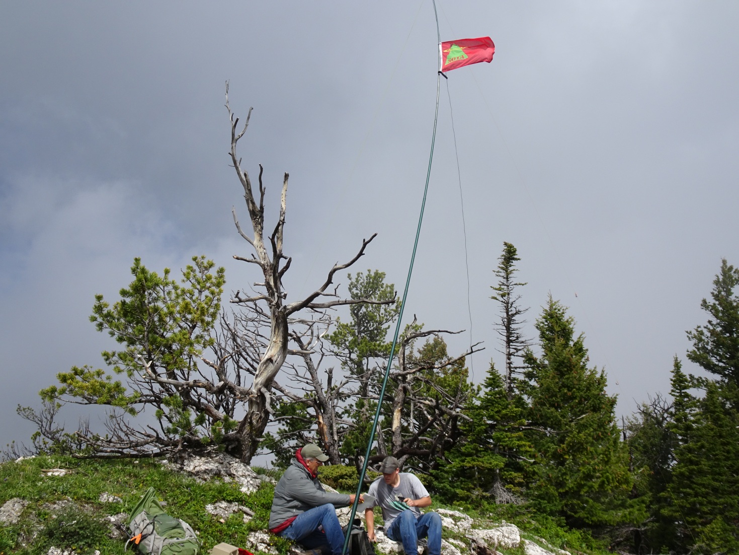
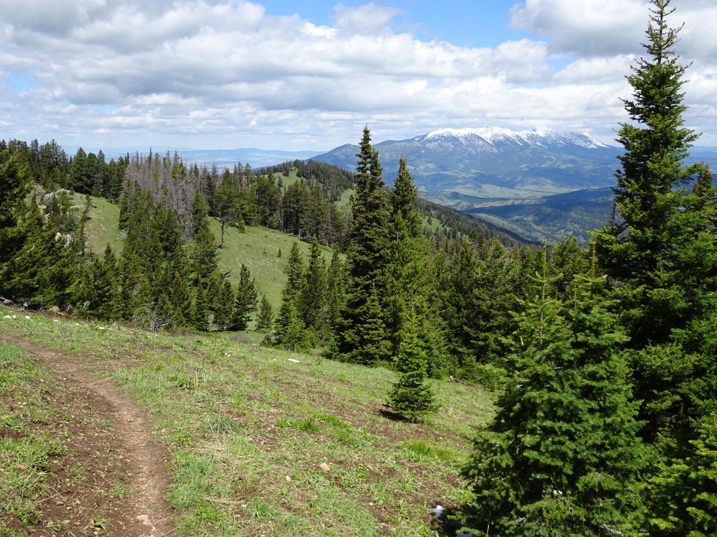
Take the Trail Creek Exit from I-90 (just east of Bozeman, as you enter the canyon), and drive 0.2 miles further east on the south side of the Interstate. There is a well-marked parking area along the frontage road. A walking bridge crosses Bridger Creek. Follow the trail 0.8 miles & turn right at the trail junction. Follow the old logging road as it contours back west up the hill. Follow the logging road until it transitions into a foot path and assertively ascends in a southerly direction. The trail offers nice views of the Frog Rock Pinnacles – a popular rock climbing area. The trail eventually reaches the ridge top, which it follows to the summit. The ridge walk is most pleasant & the summit offers very nice views of Bozeman and the surrounding mountains. There is some Interstate noise on the lower portions of the trail.