4.0 miles (+2340, -1090) from Bighorn Lake; 15.2 mile approach from Dearborn TH
We made this part of a 4-day backpacking trip that included W7M/CL-082 (Peak 7676) and W7M/CL-008 (Caribou Peak). See also the trip reports for these summits. The trip report for W7M/CL-082 describes trailhead parking at the Dearborn Trailhead & the initial portion of the trail to our campsite on the Continental Divide between Blacktail Creek and the Lander’s Fork.
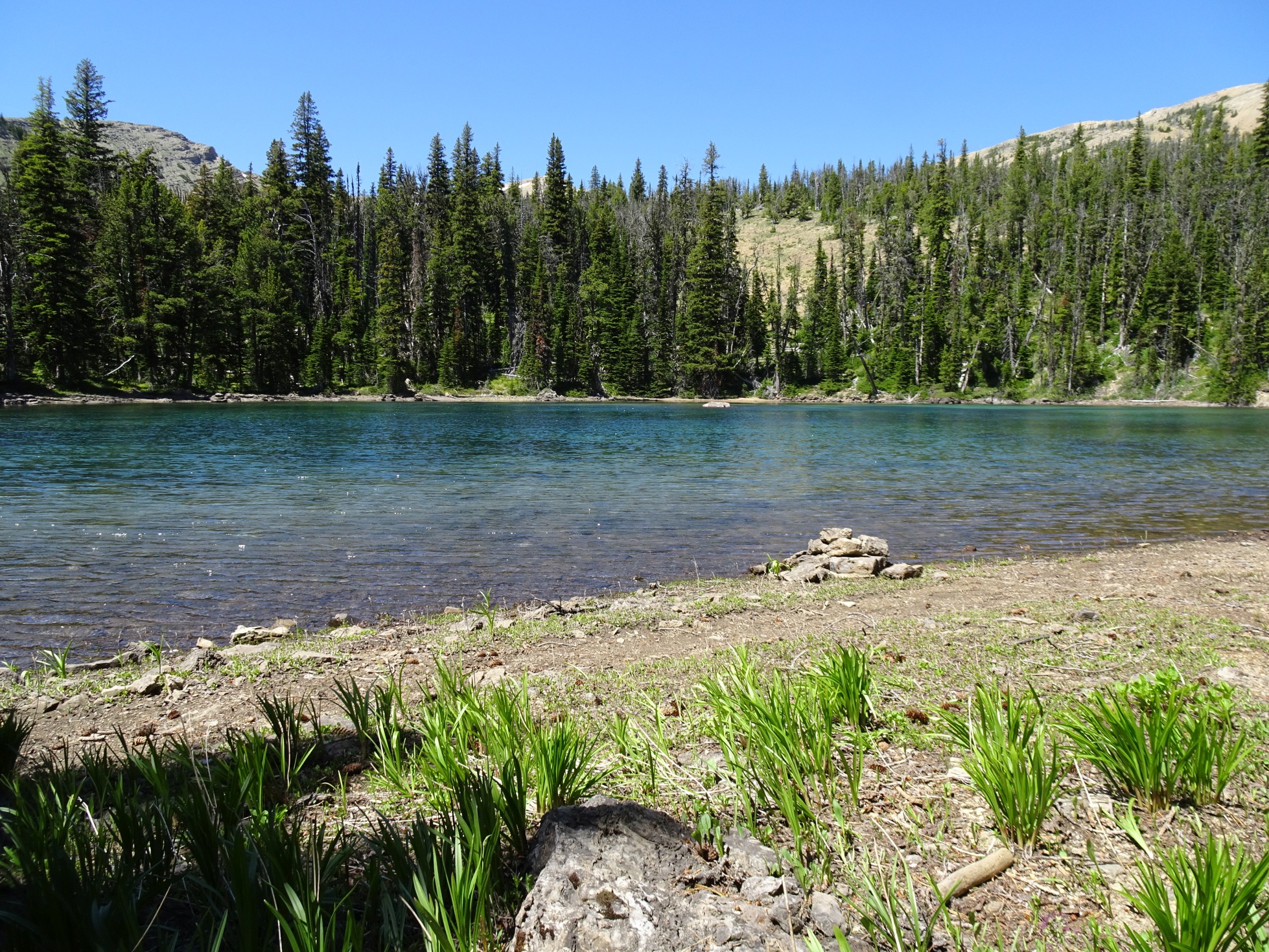
Bighorn Lake is in an 800-foot deep hole. Although it isn’t an efficient location – it is a nice one. The Lake is loaded with fat cutthroats and has nice shade trees on the northeast side. There is also camping in a burnt area near the outlet, although one must be mindful to stay clear of the standing-dead snags from the 1988 Canyon Creek fire. We had one trouble here – our tent and mattresses were damaged/destroyed by a critter while we were climbing Caribou. The claw marks, head-holes, and partially dragged sleeping bag implied a wolverine – but it is hard to say.
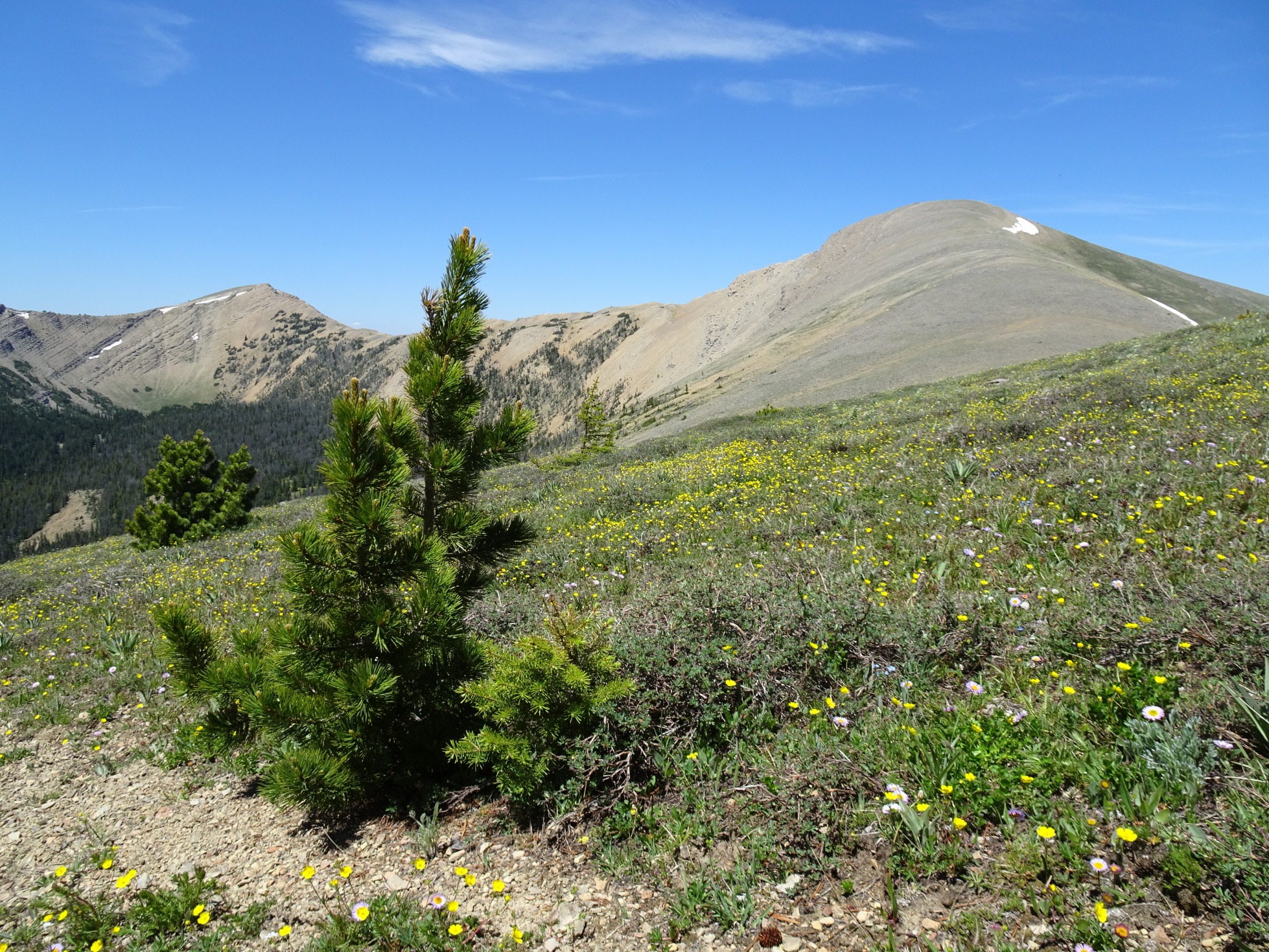
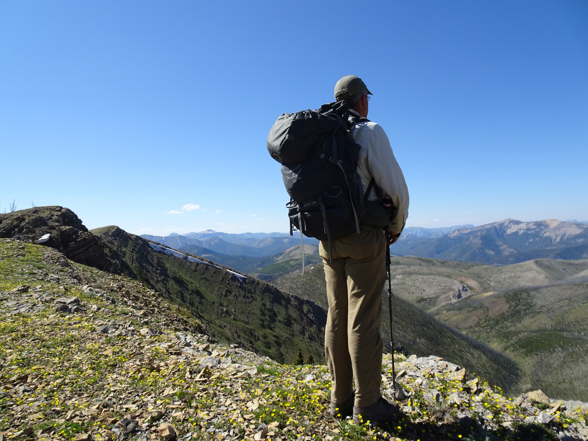
From Bighorn Lake, climb 800 feet back up to the CDT. Follow this trail along the high slopes and ridges out of the Bighorn Lake basin, and down to the small pond that is southeast of Caribou Peak. This portion of the hike is very pretty with fields of flowers and expansive views of the Scapegoat Wilderness. The pond was full of water but may not be later in the summer. It looked likely that water could be found upstream (northwest) of the pond, but I did not investigate. There are lots of good camping possibilities in this area.
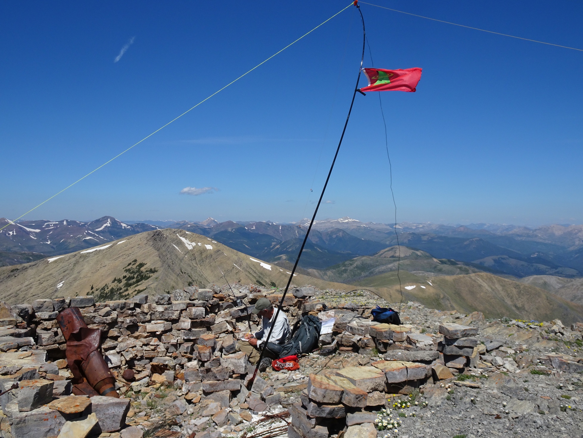
From the pond, continue along the trail to the ridge crest south of Caribou Peak. Note that trail does not cross the saddle south of Caribou as shown on the USGS map – it is located a bit further south on the south slope of a knob. Leave the trail and head directly north to the summit. The old lookout trail fades in and out of existence and offers a nice path when you can follow it. The lookout was an L-4 type. It was constructed in the 1940’s & decommissioned in the 1950’s. The foundation and some burnt artifacts remain.
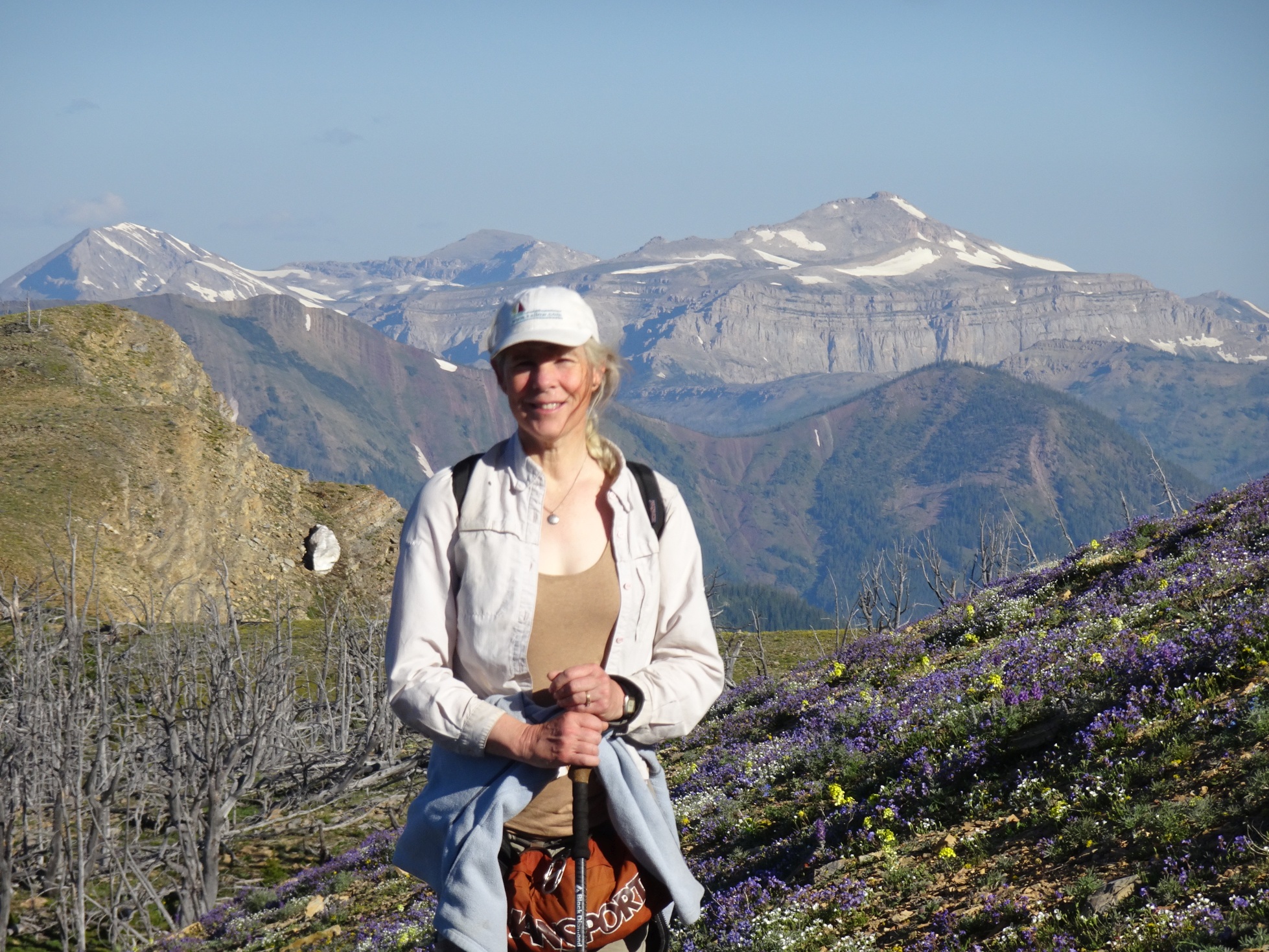
This is a fine summit, it has nice views of the Scapegoat, and the lookout foundation offers shelter. It may be possible to do this as a day hike from the Alice Creek trailhead to the southeast, but this would be a super-long day without any likely water. It may also be possible to make this a 2-day trip by hiking from Alice Creek to the pond on Day-1 & then to the summit & back out on Day-2. For this scenario, the Day-1 hike could be long, hot, and dry. We day-hiked from Bighorn Lake – which made for a very pleasant day.
On the way out, we were able, with an early start, to make the 15.2 miles from Bighorn Lake to the Dearborn trailhead in one long day. The hike along the divide was very beautiful in the early morning hours.