0.5 miles, +740 feet; 9.1 mile approach
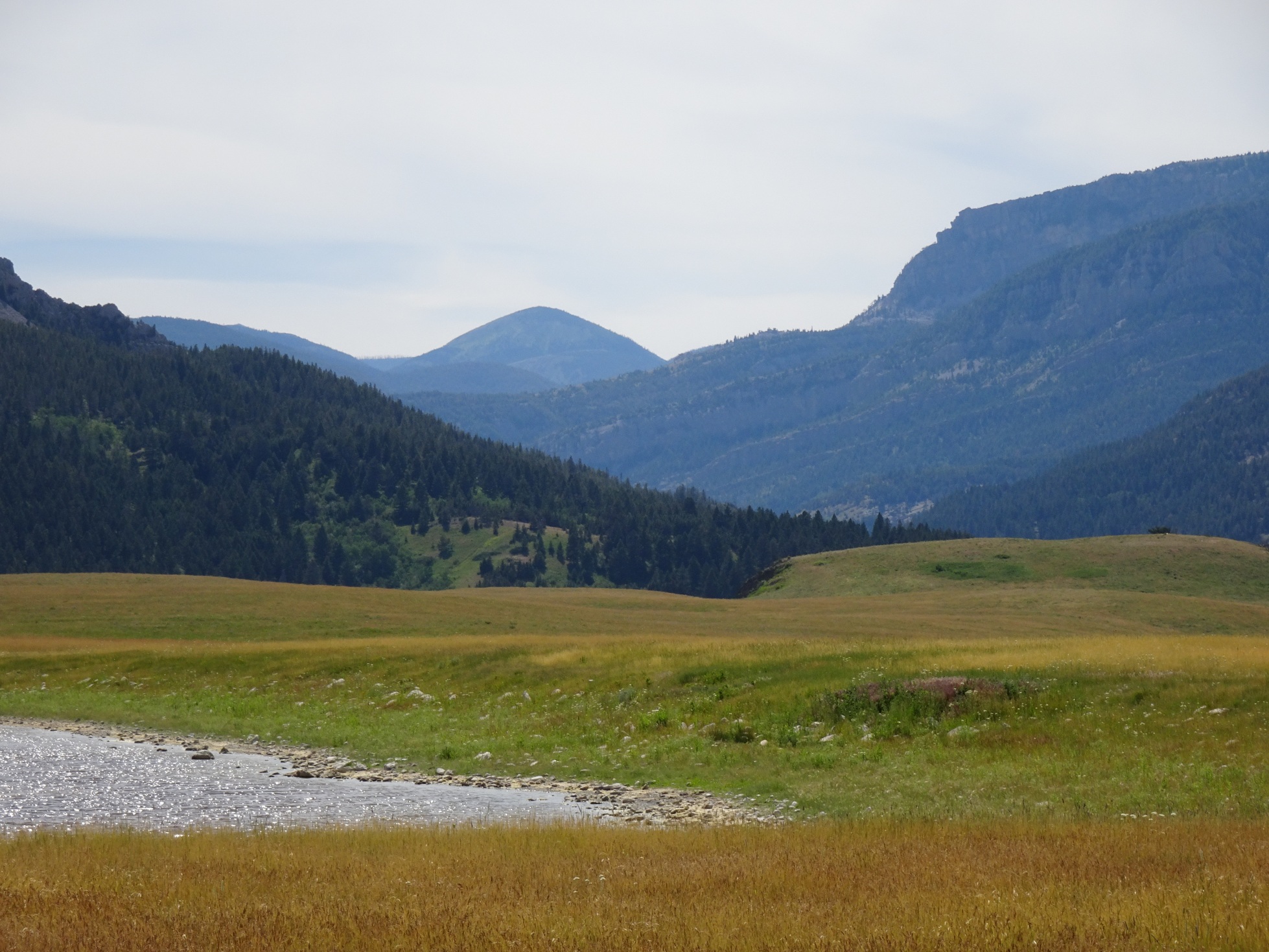
Exit I-90 at the town of Wolf Creek & take Hwy-434 North from the northwest corner of the town. Follow Hwy-434, north 22.1 miles north to Hwy-200. Carefully cross Hwy-200 & continue north on the Hwy-434 (which is now a gravel road) another 11.3 miles to the Dearborn River Road junction at Bean Lake. The drive from Wolf Creek to Bean Lake is one of my favorites. It crosses the edge of the plains along the foot of the Rockies & crosses the scenic and recently renovated Dearborn River High Bridge. Take a moment just south of Bean Lake & look to the west. W7M/CL-082 is the round lump of a summit that is visible in the “V” of the Dearborn Valley. Turn left at Bean Lake and drive 5.9 miles & turn left into the Trailhead parking area. The parking area has plenty of parking and a latrine.
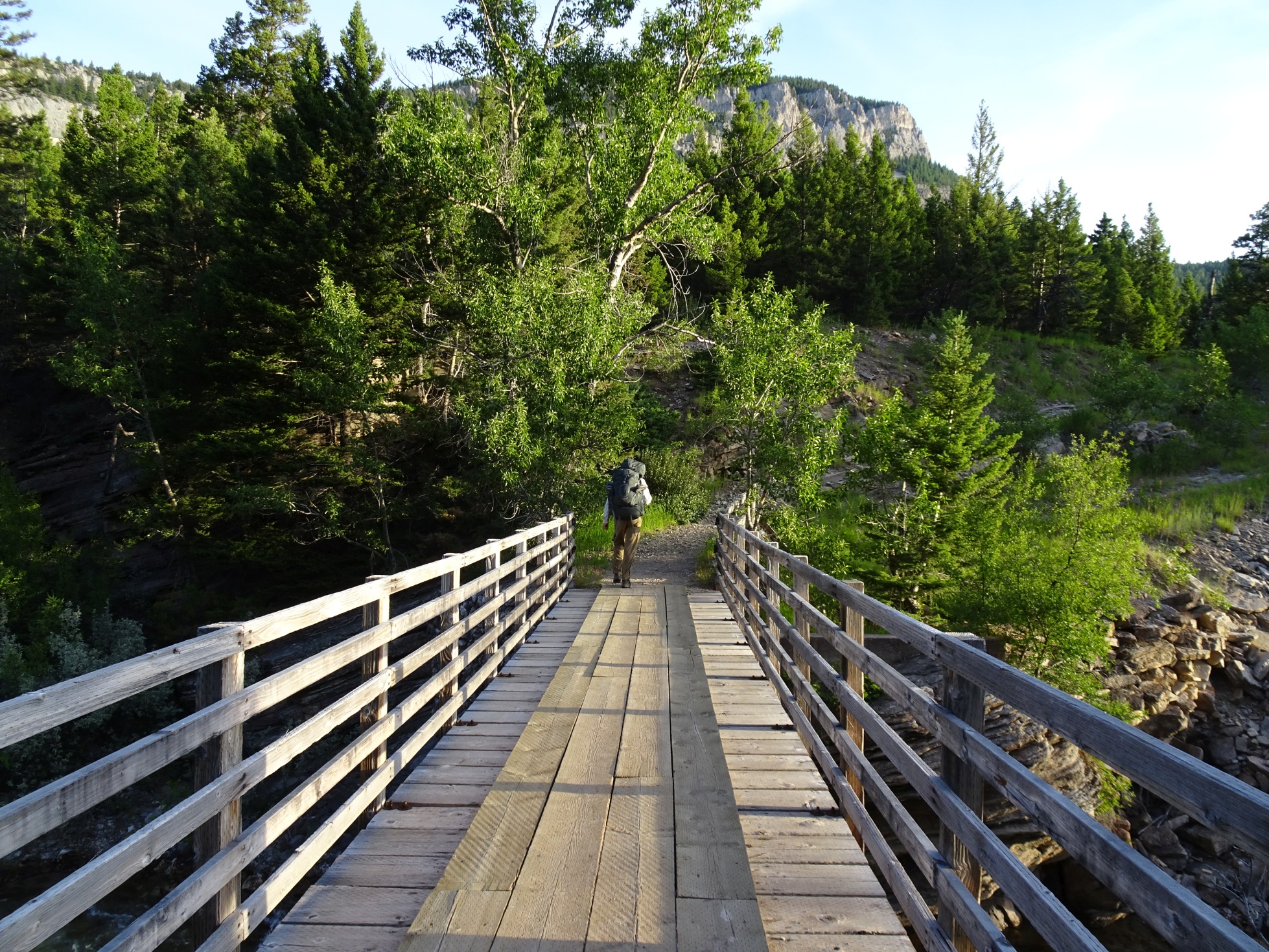
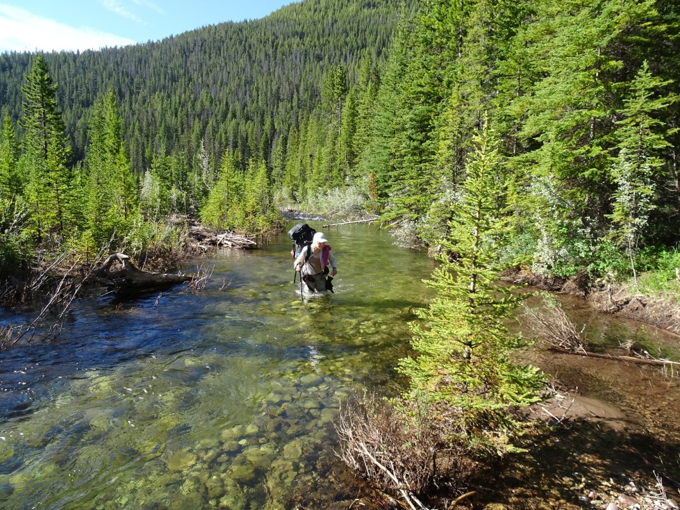
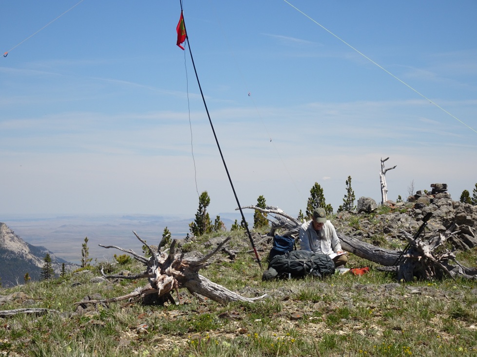
From the parking area, walk 6.9 miles along the Dearborn River trail (Tr. 206) to the Blacktail Creek trail (Tr. 207). The first mile or so of the Dearborn trail parallels a private road and passes various houses. It is important to stay on the designated trail. The trail crosses the Dearborn River on a nice footbridge and parallels the north-east side of the river. There is good camping in the Devil’s Glen area, and excellent swimming/sunbathing in idyllic pools later in the summer. Tr. 207 crosses the Dearborn River (be sure to have wading shoes) and grinds 2.2 miles up to the Continental Divide. There is water and limited camping in the forest on the divide – this is where we camped. There is also good camping and water if you cross the divide and continue another mile or so down Tr. 479 to the junction of Tr. 438 on the Lander’s Fork.
It is a short 0.5 mile climb to the summit of W7M/CL-082 from the divide. It is best to approach it by climbing up the springy swale to the northeast saddle, thence to the summit as the southeast side is climbable, but steep.
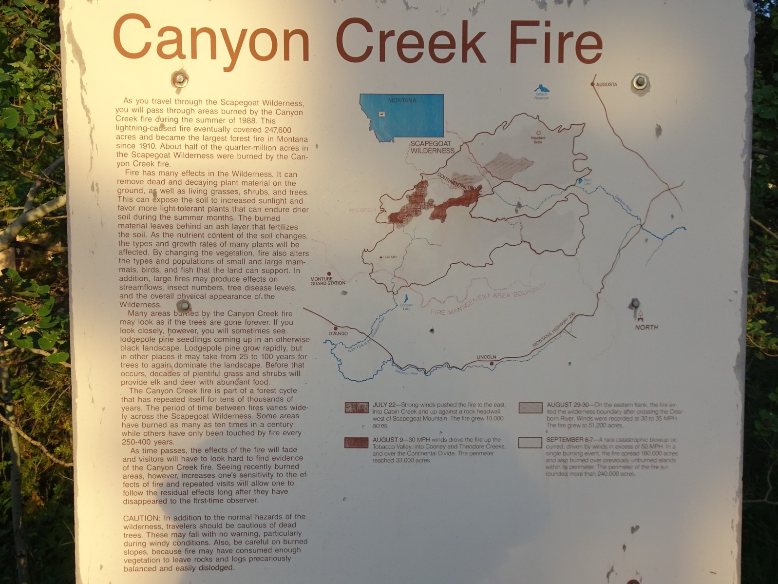
We made this part of a 4-day backpacking trip that included W7M/CL-057 (Peak 8029) and W7M/CL-008 (Caribou Peak). See also the trip reports for these summits.