0.7 miles (+940 feet, -190 feet) from saddle; 12.2 mile approach from Dearborn TH
We made this part of a 4-day backpacking trip that included W7M/CL-057 (Peak 7676) and W7M/CL-008 (Caribout Peak). See also the trip reports for these summits. The trip report for W7M/CL-082 describes trailhead parking at the Dearborn Trailhead & the initial portion of the trail to our campsite on the Continental Divide between Blacktail Creek and the Lander’s Fork.
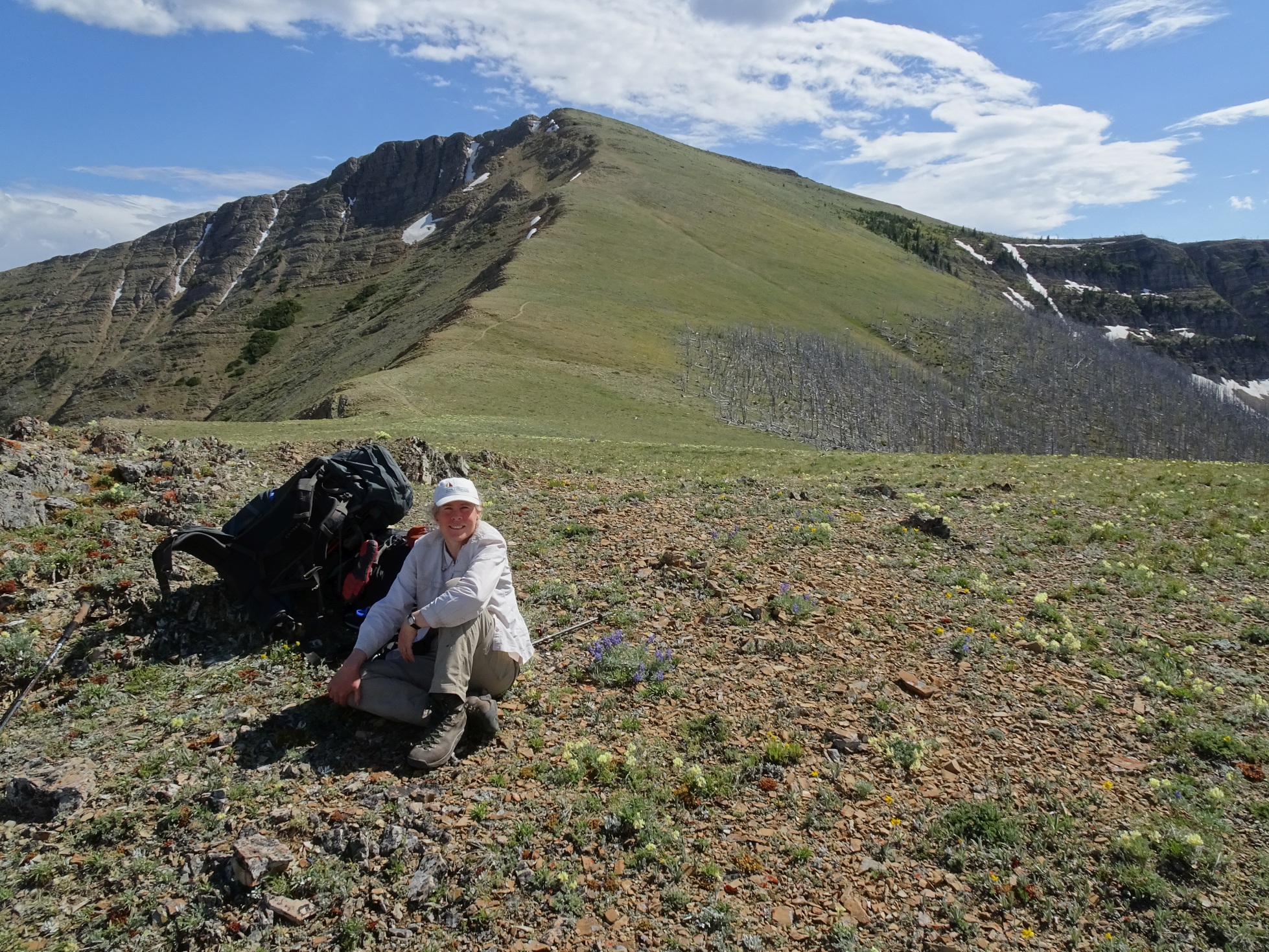
From the campsite at the junction of Tr.479 & Tr.207 – follow the obvious trail that ascends southeast along the divide. Follow this trail 2.5 miles to the junction with Tr.441 in the headwaters of Bighorn Creek. This is a beautiful trail section that wanders along the ridge through open meadows and the remnants of the 1988 Canyon Creek fire. There is water (at least in early July) and possible camping in the little valley that is about 0.5 miles before the junction. This trail – onwards to Caribou Peak is part of the CDT, and as such is busier than some others – we saw 2-3 parties a day when on the main trail. From the trail junction, continue another 0.6 miles east to the Bighorn Creek / Falls Creek saddle. This is a good place to stash packs & food if you have bear canisters, but not so good if you are hanging food – as I don’t recall much in the way of trees at the saddle. It is likely possible to continue down Falls Creek to trees & good camping – it looked nice down there.
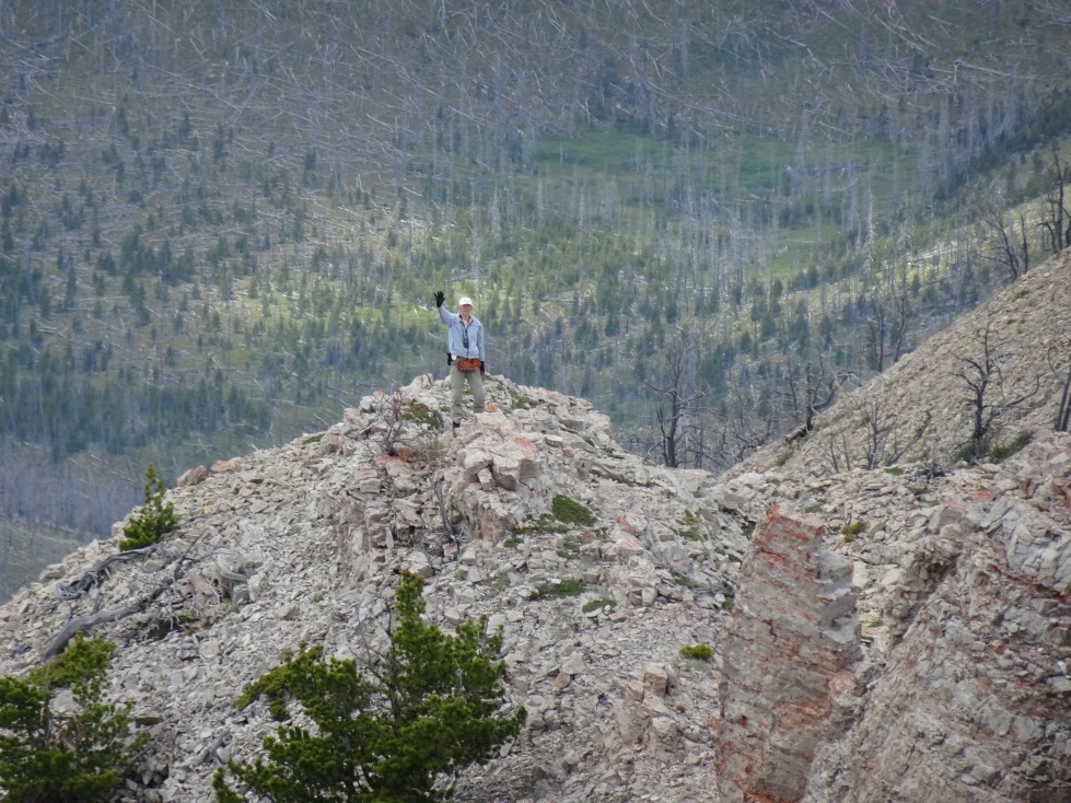
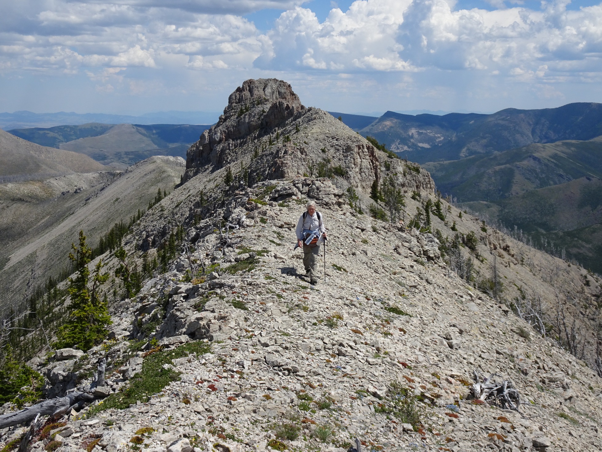
From the saddle, climb northeast to the ridge crest just west of the summit. Follow the ridge easterly towards the summit until it gets too cliffy. This may be within the activation zone – I did not check. It is then possible to contour down and around the northeast side of the summit to the east ridge. It is a nice walk up the east ridge to the summit. The contour requires some care – Barb-AE7AQ chose to stay on the ridge crest (see her attached photo from the summit). There are various cliffy areas & loose talus slides that are prone to movement. It took me nearly 45 minutes to make the traverse – for a horizontal gain of about 150 feet or so.
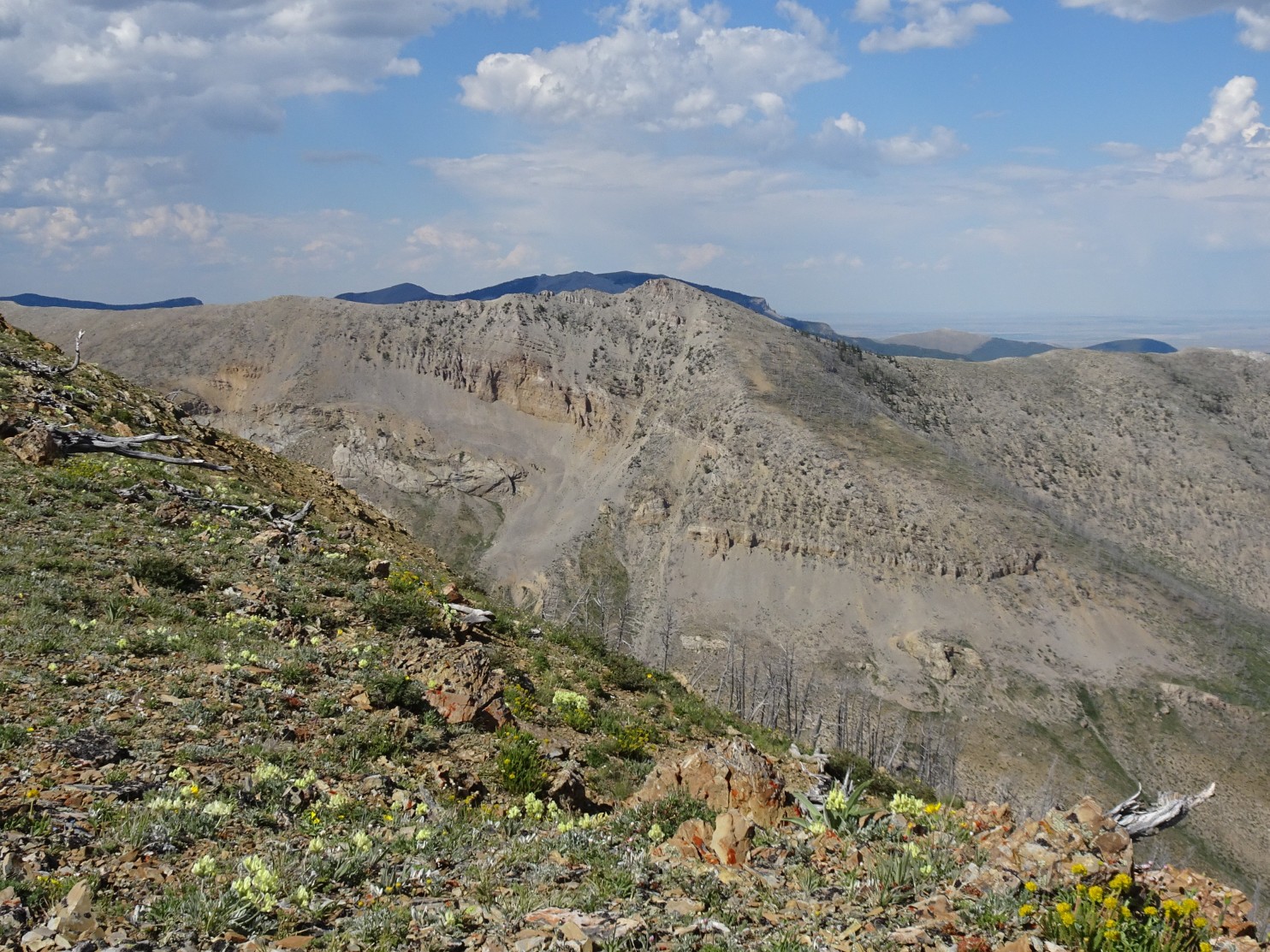
It looked like the climb up the southeast slope from Falls Creek would be much nicer than the previously described route, but it involves considerably more vertical elevation gain. This slope is visible in one of the accompanying photos (bottom right).
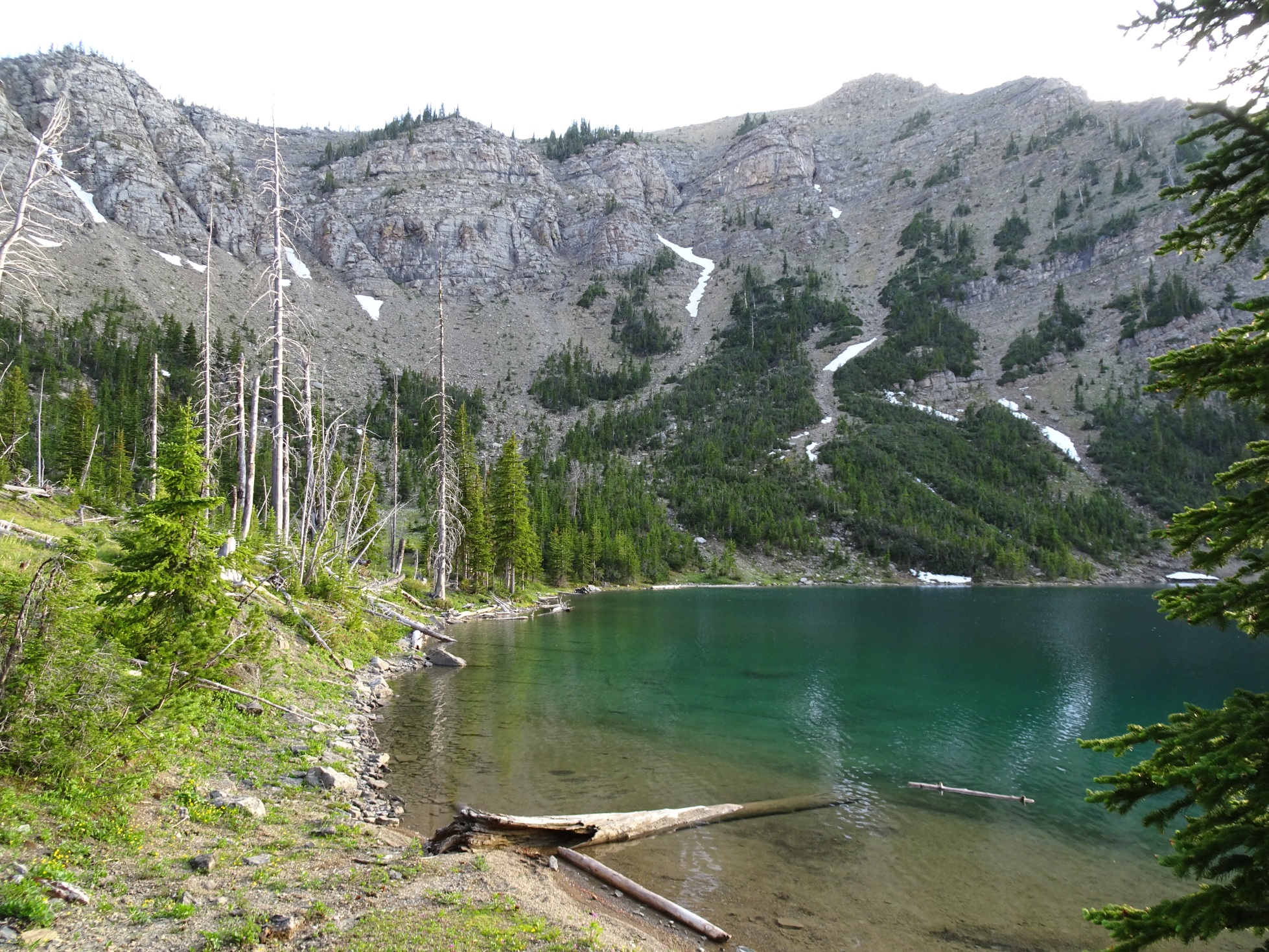
We nearly ran out of water on this summit – this can be hot country. I was able to find a lingering snowbank on the north side of the summit traverse, and another along the 3.0 mile trail to Bighorn Lake – where we camped. Bighorn Lake has one or two very nice campsites. It is remote & it is likely that you will have the lake all to yourself. It is also likely that you will catch a fat cutthroat on nearly every cast.