On-Trail, 2.5 miles, +2,240 ft
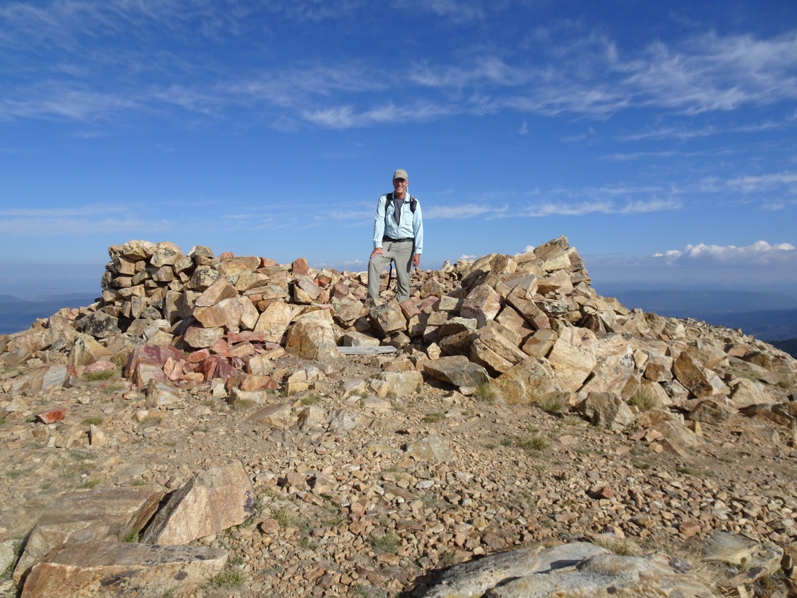
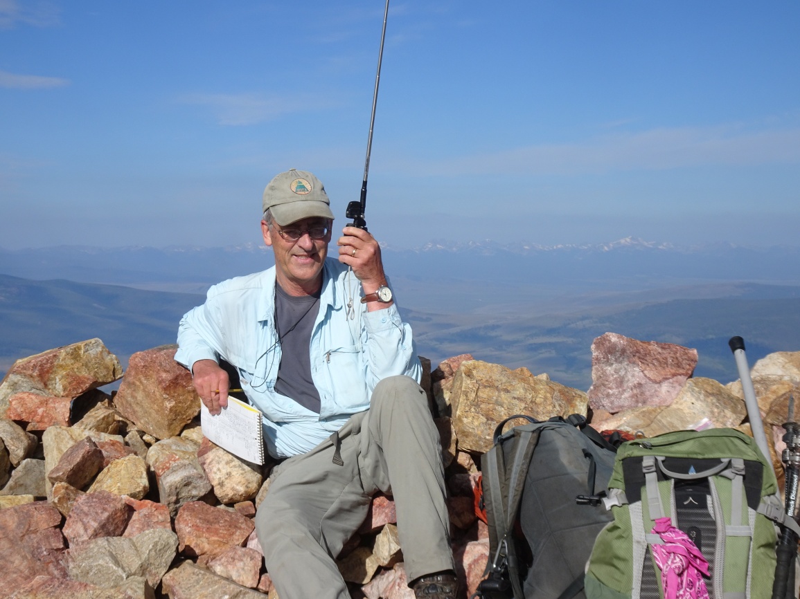
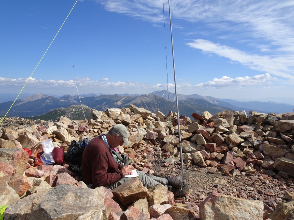
Baldy Mountain is a locally popular on-trail hike to one of the high points in the East Pioneer Mountains. The foundation of the old fire lookout provides some shelter in the event of windy conditions. We saw one other party on the mountain on a nice Saturday during the summer.
Turn off of I-15 south of Dillon and head west on Hwy-278 towards the old Territorial Capital of Bannack. Drive 13.8 miles and turn off on the gravel road that angles to the right just after cresting Badger Pass. Drive 0.4 miles on this cutoff road and turn right (North on the gravel road). Follow this road northerly 5.3 miles to the “T” intersection and turn left. This road will gradually climb and wind its way towards the distinctive rounded mass of Baldy Mountain. There will be a sharp hairpin turn to the right on a high point at the 7.1 mile mark. Park here. The road is suitable for most vehicles.
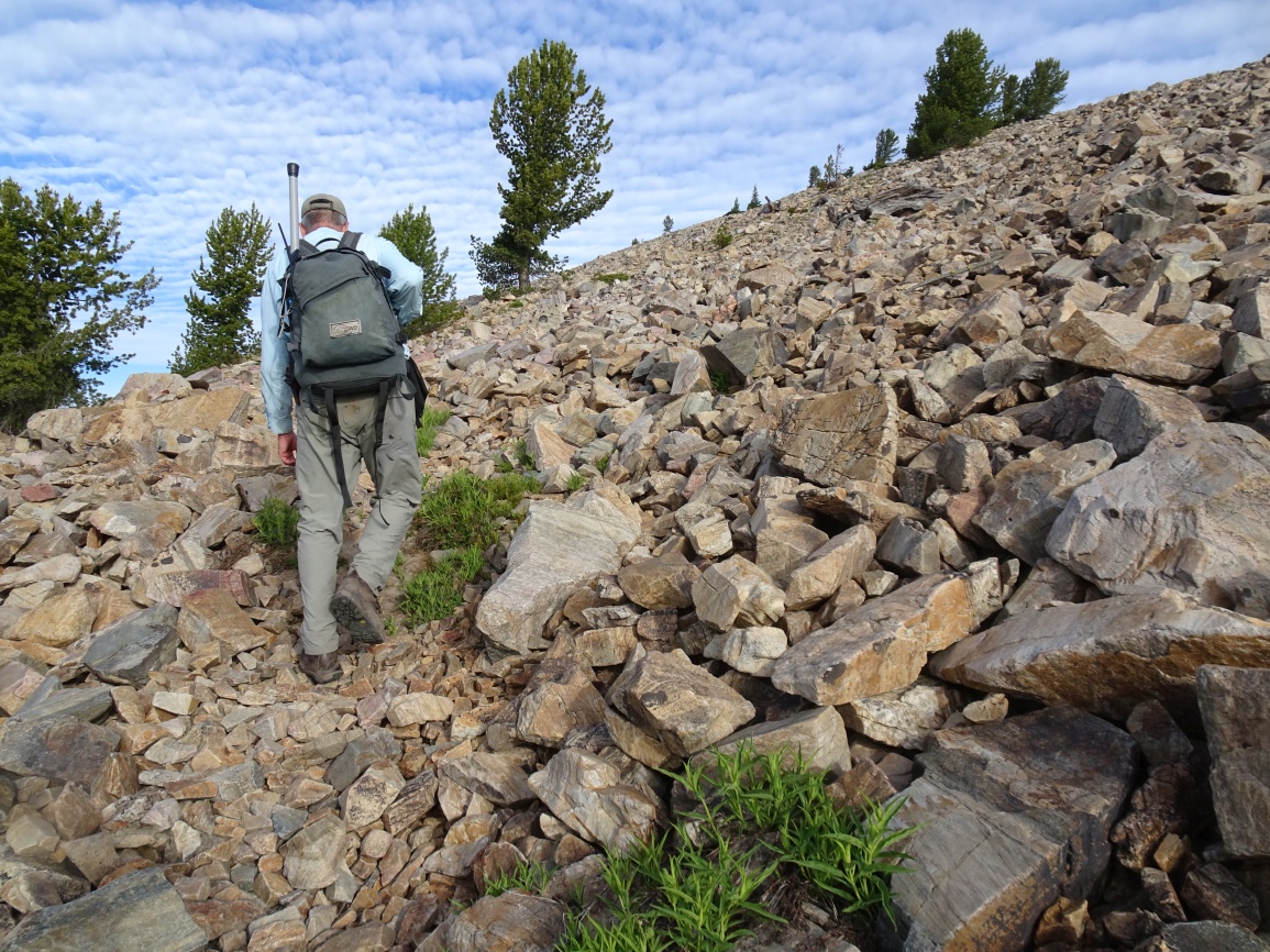
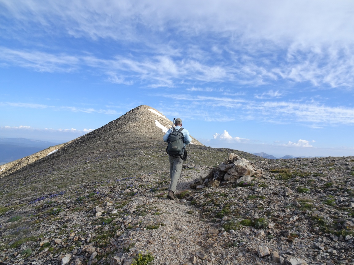
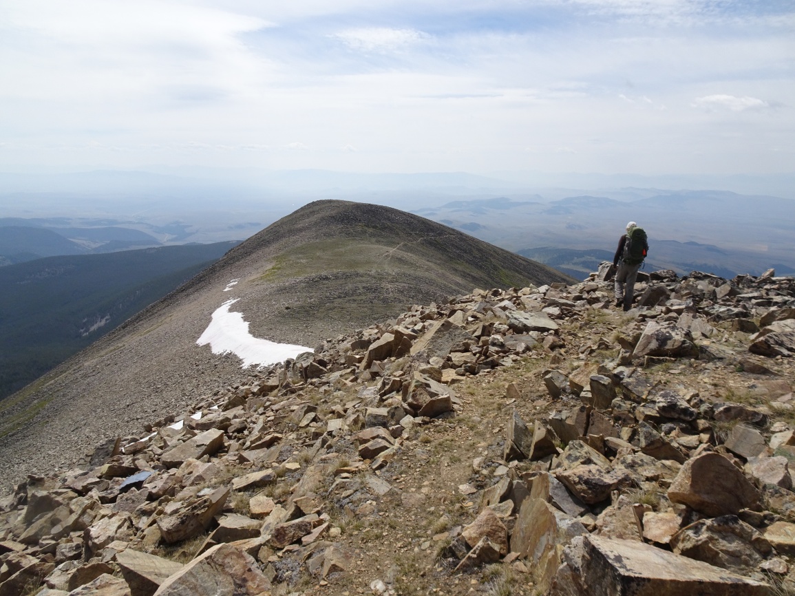
The hike begins at the hairpin and follows the ridge up to the Black-Baldy saddle. It is easy walking along this forested ridge. The timber is not very heavy and orange flagging makes it easy to follow the path to the Black-Baldy saddle. Take note of this location, as the turn-off for the ridge back down is not obvious on the return without the flagging. On the ascent, turn left at the saddle and continue following the ridge to tree-line. The old phone wire for the lookout is lying on the ground for much of this portion of the ridge. After leaving the trees, the path is well defined as it switchbacks up the rocky slope, around the left (west) side of the false summit, and onwards to the top.