2.9 mi, +1,800 feet, -200 feet
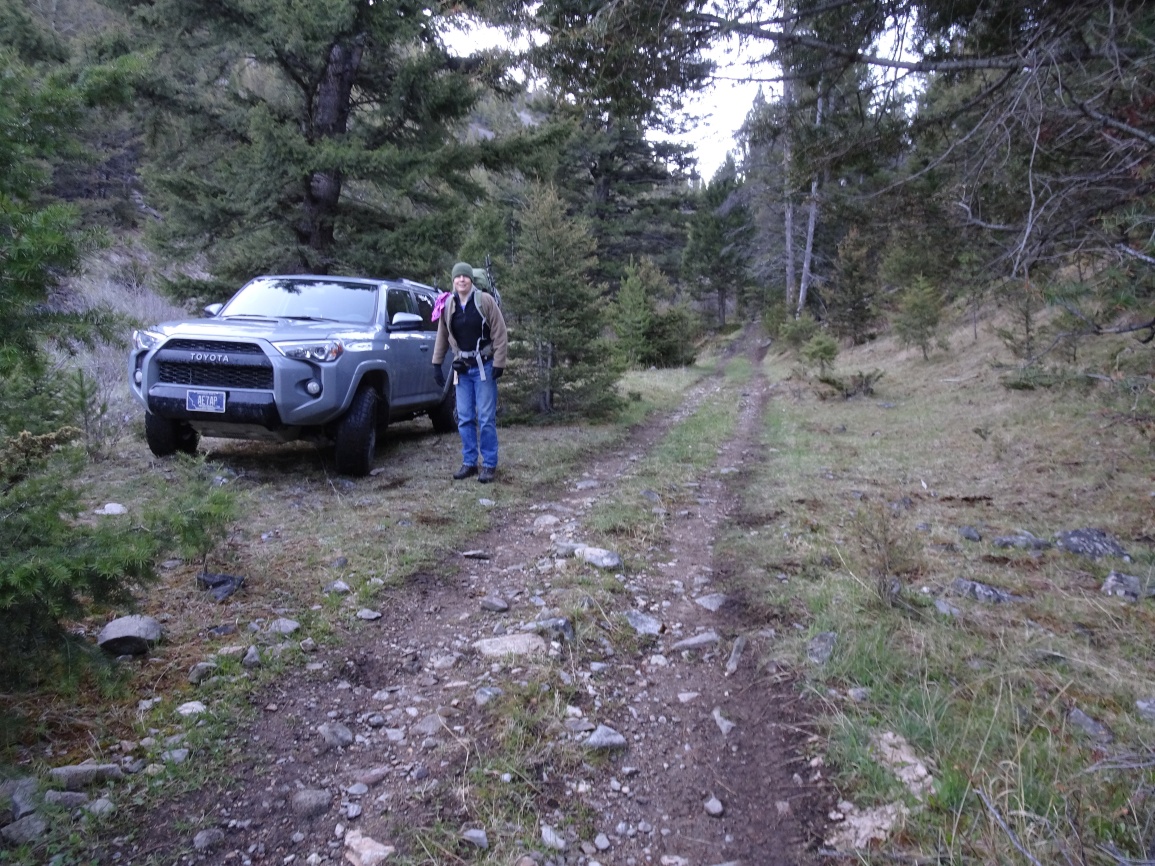
From the I-15 Bernice exit (exit 151) several miles west of Basin, head south along the frontage road that is on the east side of the interstate to the well signed Bear Gulch trailhead. The road to the trailhead is suitable for all vehicles. The hike can begin here, or you can proceed further up the 4wd/ATV road (closed to motorized use Oct. 15 – Dec.2). The trail has degraded enough that it is not practical for full-sized vehicles beyond about 0.8 miles (+250 feet) due to a cut-bank that is causing the road to fail. The first 0.8 miles is not a difficult 4wd trail, but it is narrow and has some locations that could cause bumper dragging or scratches in many vehicles.
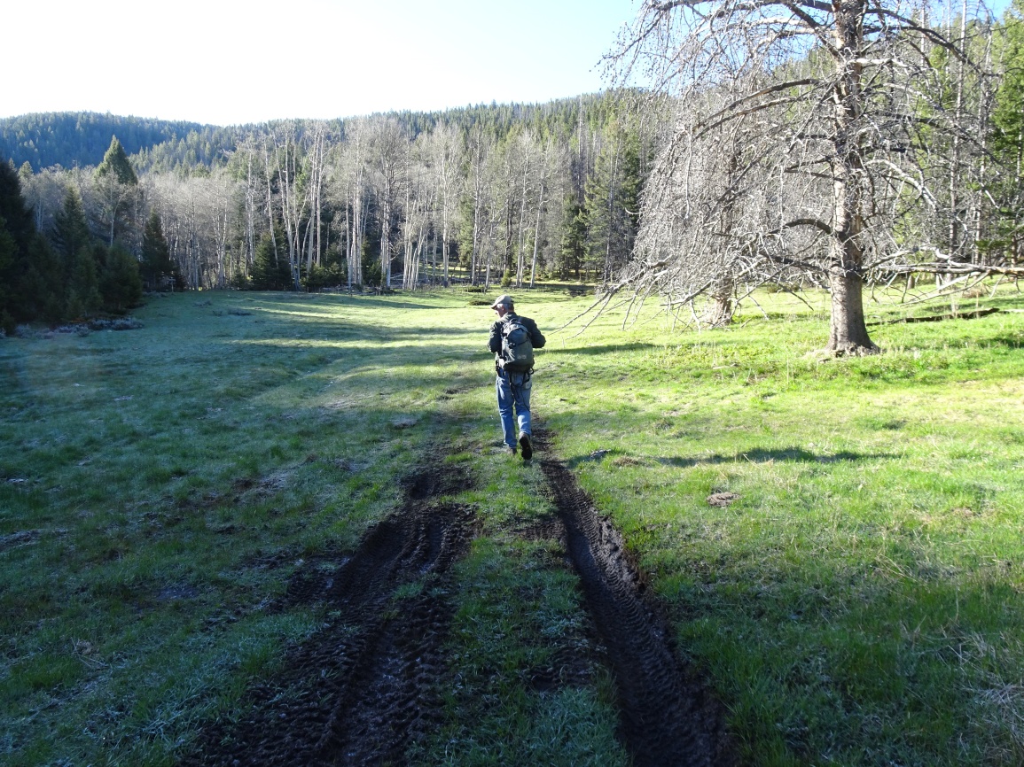
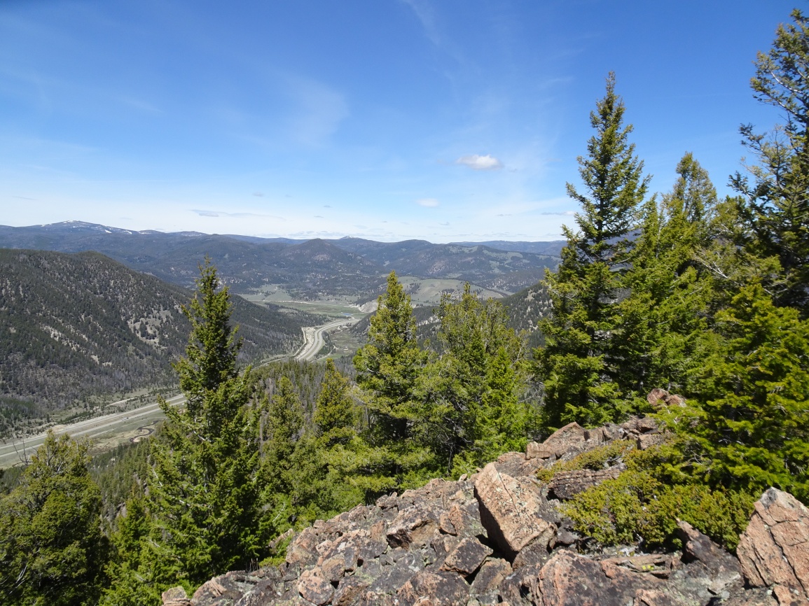
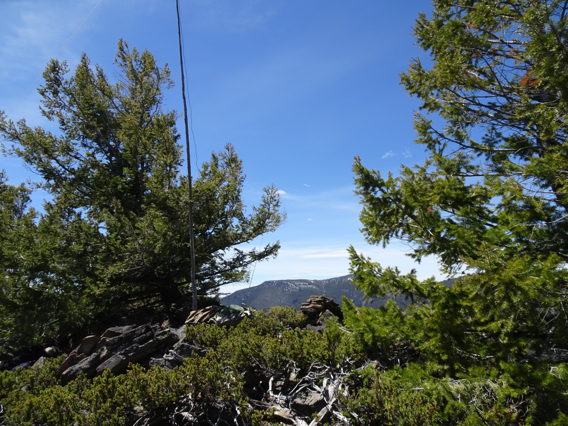
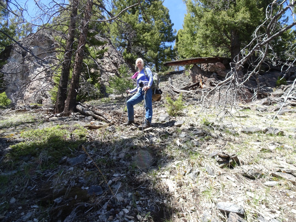
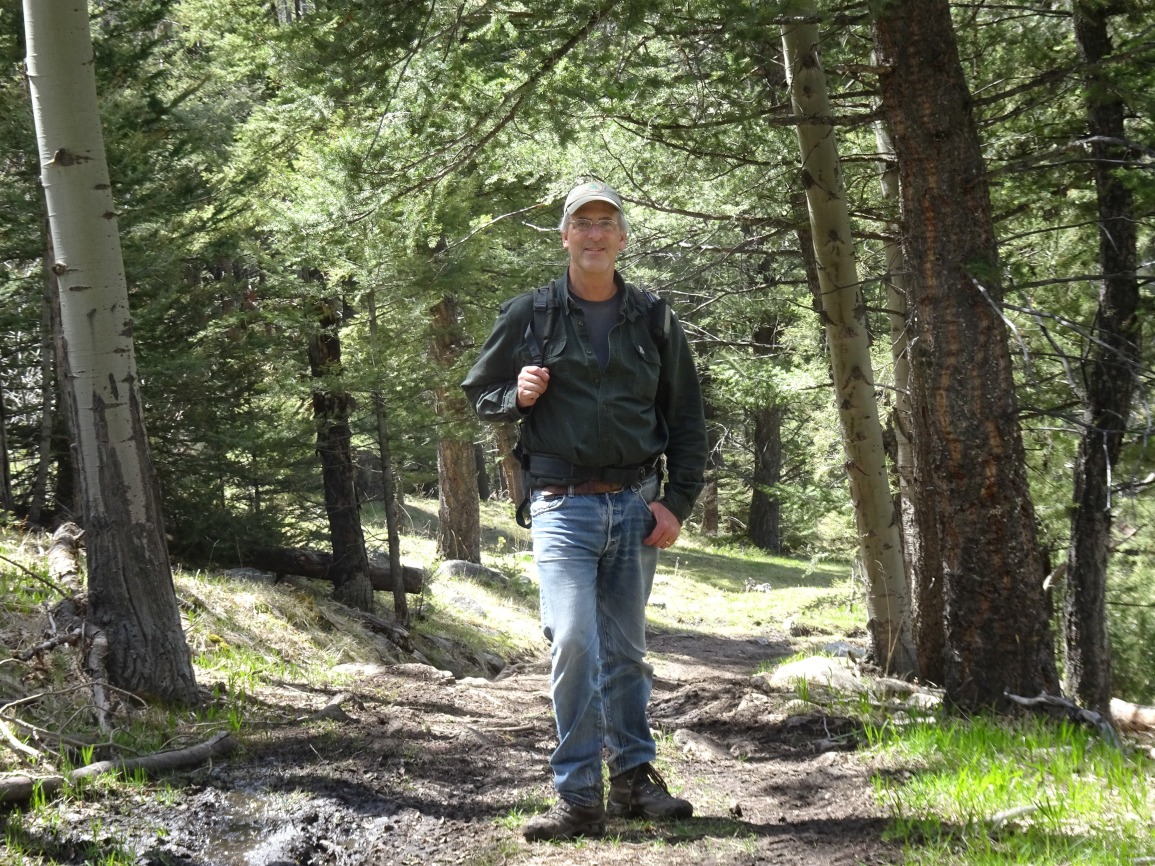
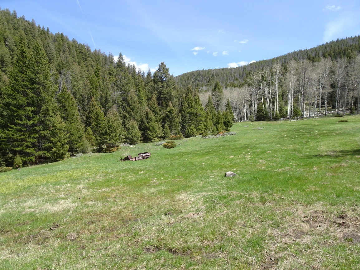
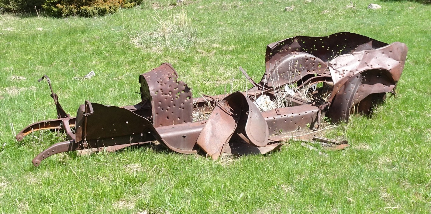
Hike up the ATV trail to a beautiful meadow with the wreckage of an old car where the trail splits. Continue straight (right) and follow the ATV track as it climbs up and to the left, then back to the right (west). The ATV track will intersect a good 4wd road near the ridge crest. Turn right (northerly) and follow the road beneath the power lines to an old Quarry. Leave the road to the right (northwest) near its terminus in the quarry and sidehill to the south saddle and ridge of Bear Mountain, crossing the barbed wire fence that is near the quarry. While the first portion of the bushwack is young, thick lodgepole, it quickly improves to become an open lodgepole forest with a floor of grouse whortleberry and grass. Follow the ridge up & bypass the large rock outcrop near the summit (see photo) on the right (east) via a steep earthen gully. Upon reaching the summit ridge, traverse approximately 100 yards northeast to reach the actual summit.
The road to the quarry appears suitable for most vehicles and would shorten the hike to 0.5 miles and +500 / -80 vertical feet. This road can be accessed from Galena Gulch (I-15 Exit 160) between Boulder and Basin. There are lots of roads in this area and lots of deadfall, so it is advisable to take a map and a chainsaw if you choose this route. I drove most of the road after our activation and it was suitable for most vehicles, but I was blocked by a downed tree that had only been cut wide enough for an ATV.