W7M/GA-046, Cliff Mountain
2.1 miles, +760 ft, -130 ft
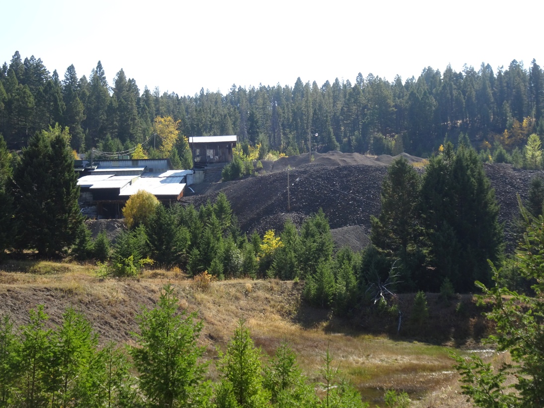
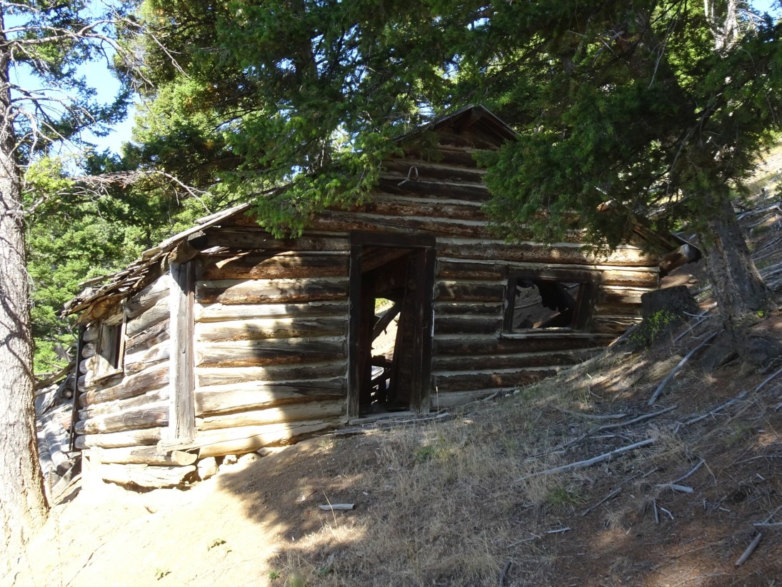
From Exit 184 on the north side of Deer Lodge, head east and take the very first right (south) on Boulder Road. Press your trip odometer and follow this road as it parallels the Interstate and turn left (east) after 0.9 miles on Emery Road. Emery Road is suitable for all vehicles. Bear left at the 7.8 mile point onto FS-705, which is suitable for most vehicles. At 8.7 miles, you will pass by the Blue Eyed Maggie Mine (on your left). This mine, and the larger Emery Mine and Mill (on your right) were active from about 1888 to 1950. This old mining town of Emery is also in this area. I suspect that the old foundations and cabins that lay on the north side of the road near the Emery Mill are, in fact, the old town site – but I am not certain. Continue following FS-705 as it climbs up the mountain. There will be a “Y” at a clearcut – bear right. The road becomes steeper and rockier. Clearance and low range are nice, but it isn’t a bad road. A Subaru or Rav4 should be able to make it, although you will want to go slow. Park at the trailhead at the 12.5 mile point.
The trail is wide and was well cleared in 2020. It climbs steeply from the parking area before leveling out after about 300’ of elevation gain where it soon enters a plateau area that has a mixture of small open parks and timber. The trail down to the Syndicate Park trailhead will split off to the right at the 0.6 mile mark – continue straight (southeast) and follow the well defined trail through the timber. The trail becomes faint as it enters a large, heavily grazed meadow at the 1.1 mile park. Continue following the trend of the trail as it contours through the meadow past a large post (mining claim marker?) in the middle of the meadow. Note that there is a trail sign about 300’ north of the post that marks the trail that goes north to Airplane Park. Continue following the trail through the timber, but note that it splits into a multitude of cow trails that make it difficult to follow for a bit. Note also that it begins climbing again in the vicinity of a small drainage, where it again becomes better defined (about the 1.5 mile mark). Soon thereafter, the trail breaks into some open meadows that allow views of the Cliff Mountain Ridge (about 1.7 miles). Turn off the trail here and climb up and left (North east) through the meadows to the summit.
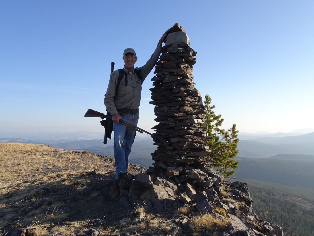
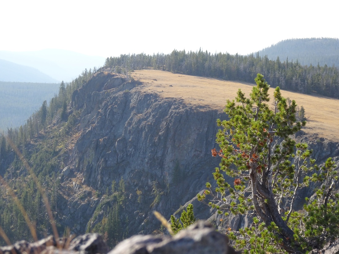
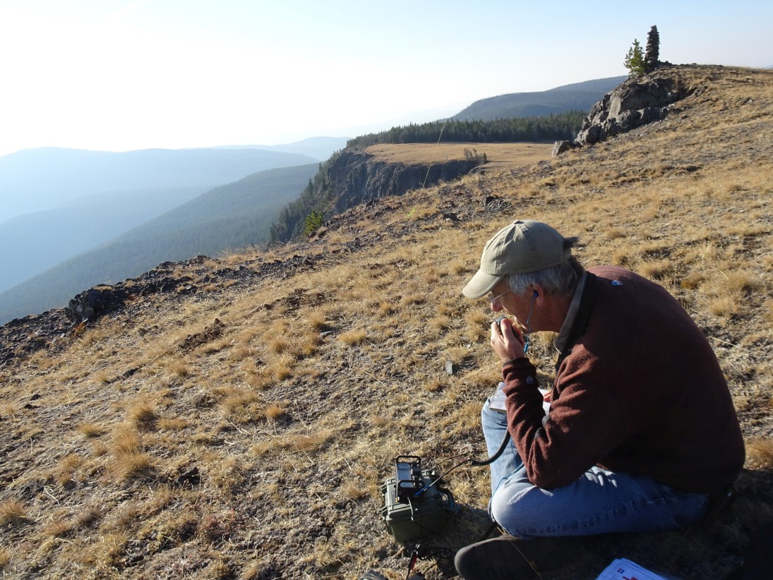
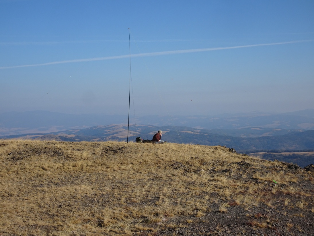
The summit is one of the prettier ones in the area. The east-side cliff escarpment provides a dramatic backdrop for the impressive views. This summit also has one of the most artistic summit cairns that I have seen. There is plenty of room for any conceivable antenna in the expansive grass fields that slope back from the cliff edge.