0.5 miles, +160 ft, -35 ft
This is a short hike to a rocky knob on the continental divide.
From the Bernice Exit on I-15 (Exit 151) between Boulder and Butte, take the Boulder River Road west as follows:
0.0 Exit I-15 at Bernice
3.2 Turn right and cross the Boulder River, then continue westwardly.
10.1 Stay on the main road (left) at the Indian Creek turn off.
15.1 Turn off the road to the right at Champion Pass summit.
17.5 Continue north after passing Blizzard Hill.
19.5 Cross beneath the power lines and continue north.
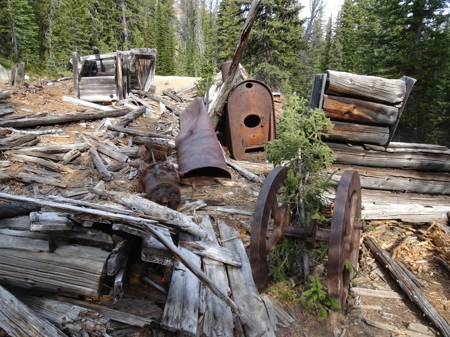
20.9 Take the road that trends right near Schurch’s tunnel. The road is 4wd from here.
22.6 Park at the crest of the hill/saddle near where the road breaks out into an open meadow.
The road is suitable for most vehicles until mile 20.9 near Schurch’s Tunnel. The remainder of the road has many rocky sections that require high clearance and low range. I didn’t have any trouble with a stock 4Runner. There are few (no?) spots where you are likely to get stuck and no off-camber sections or any other troublesome areas, but there are chances to hit bottom. It is advisable to have a chainsaw.
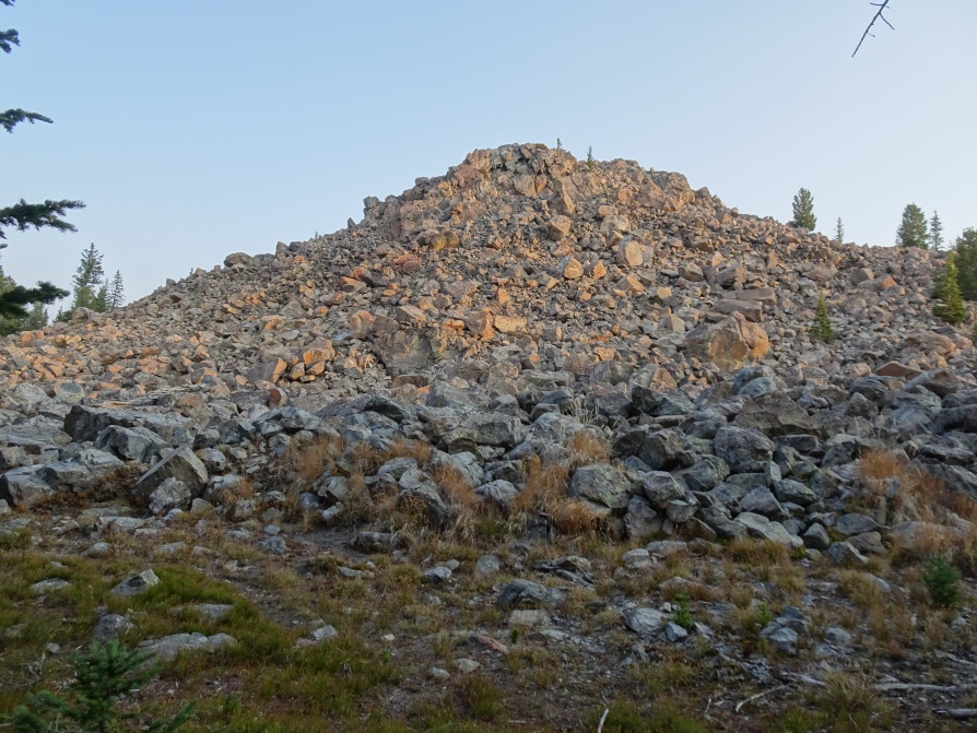
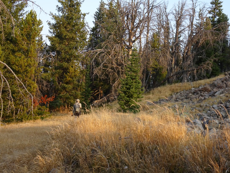
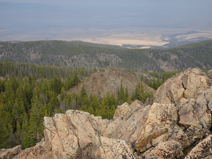
From the parking area, hike through the forest north to the summit. There are numerous game and foot trails through the forest. The summit is a large boulder pile that is easiest to climb from the northwest side. It has nice views of the surrounding area.