24.2 miles, +7,500 ft; - 6,800 From Elk Mountain TH
5.2 miles, +3,800; -500 ft from Buck Lake Creek
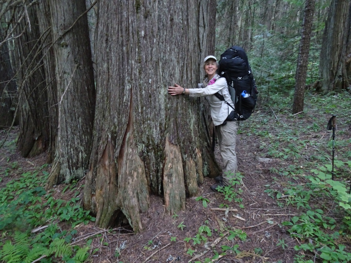
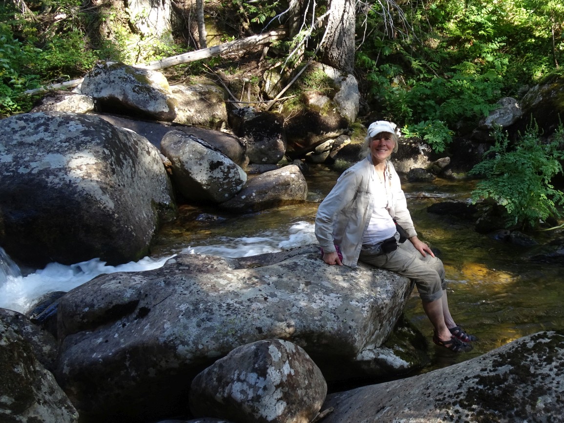
I activated this on the 7th day of a 15-day backpacking from the Elk Mountain Trailhead, but other approaches such as Meadow Creek or Indian Hill may also offer access. We climbed from a camp in the beautiful Cedar-Hemlock forest alongside Buck Lake Creek. While the forest is unburned upstream from the Disgrace Butte trail junction, the forest downstream was burned on the south side of the creek in a 2019 fire.
It is a relatively long drive to the trailhead on good Forest Service Roads. Most vehicles should be able to make it with no troubles, but some clearance is helpful. To reach the trailhead (beginning at the Red River Ranger Station on Hwy 222/57, drive 0.3 miles south, and turn left (east) on the “Magruder Corridor”/”Nez Perce Trail”/ FS-468. Continue 18.8 miles and turn left on the Green Mountain Road (FS-285). Follow this road another 17.4 miles north, past Windy Saddle, to the Elk Mountain Trailhead. There is good parking, a small stream, and a latrine at the Trailhead.
The trail is very well maintained and leaves from the east side of the parking lot. Follow the trail over the shoulder of Elk Mountain, then down its north ridge through a pretty meadow, and onwards as it descends towards Bilk Mountain. The trail switchbacks steeply down the east side of the Elk-Bilk ridge, then contours around the south slopes of the Bilk SE-Ridge before climbing back up to a trail junction in the saddle on the southeast ridge of Bilk. Turning left at the trail junction will take you to Bilk Mountain. Continue over Bilk Mountain and down to Grave Meadow where there is water and good camping. Most of the area between Bilk Mountain and Buck Lake is in the 2017 Buck Lake Creek burn. The hike from Buck Lake to Drake Saddle and down to Buck Lake Creek is in a burn from about 2009.
The trail down from Drake Saddle to Buck Lake Creek is periodically maintained and easy to follow, but you should expect a fair amount of deadfall – it is all within the burn area. The trail leaves the burn and turns left (east) just before reaching Buck Lake Creek and continues up (east) Buck Lake Creek. The turnoff for trail 628 is not evident, and the next 2.7 miles down Buck Lake Creek is nearly 100% bushwack, with only the occasional old blaze or bit of tread to indicate that a trail once existed here. While the going is rough, the forest is beautiful, with large Douglas Fir, Cedar and Hemlock. Continue bushwacking down the east side of Buck Lake Creek until it is time to cross so that you can intersect the trail on the west side of Buck Lake Creek downstream from Copper Creek. This portion of trail is well maintained – both southeast to Vermillion Peak, and also northwest to Copper Butte. There is good camping near the trail 628/632 junction, and various other locations in the forest. There is also a spring with good camping a short distance up the Vermillion Peak trail near the Disgrace Butte – Vermillion Peak saddle.
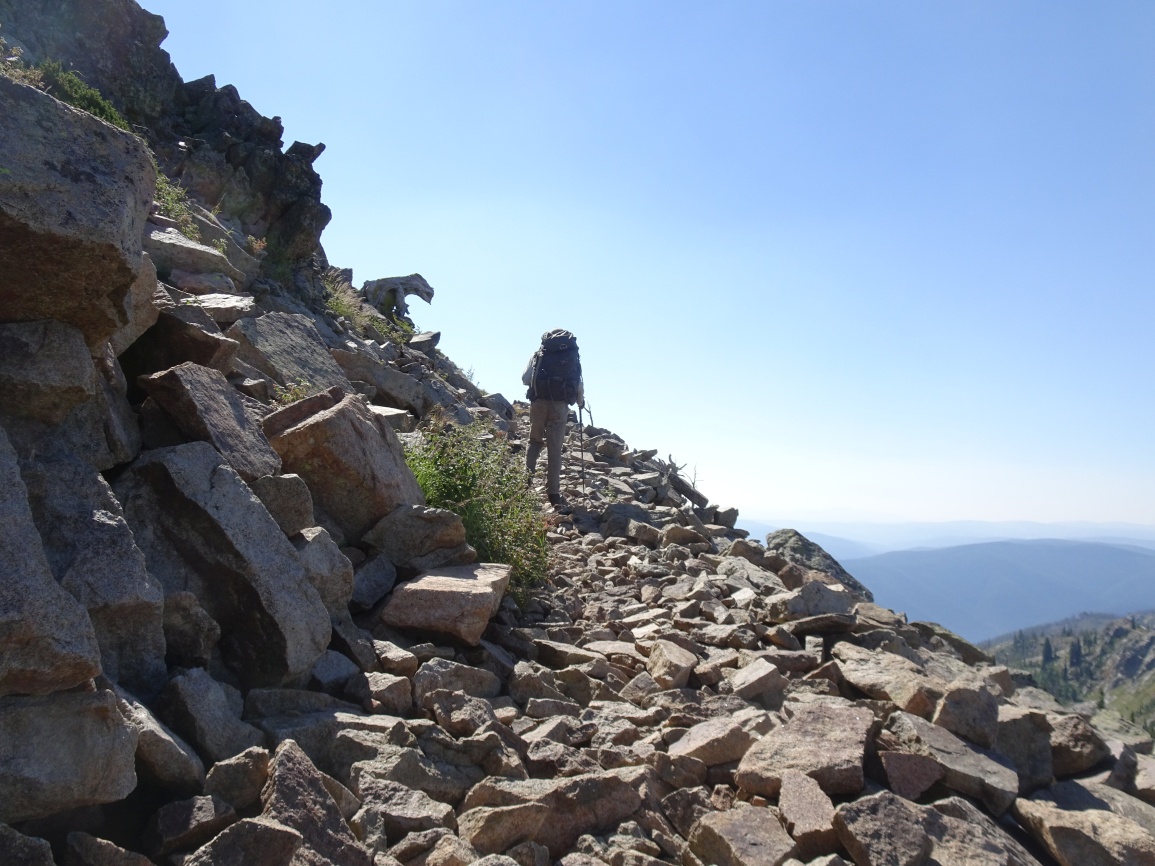
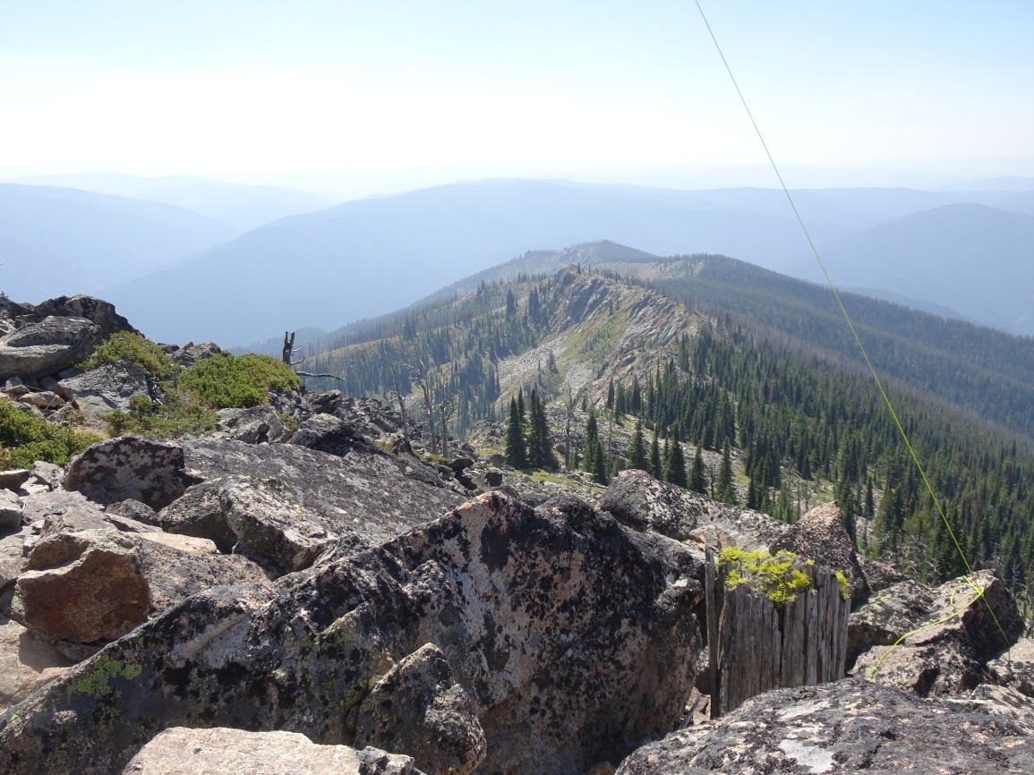
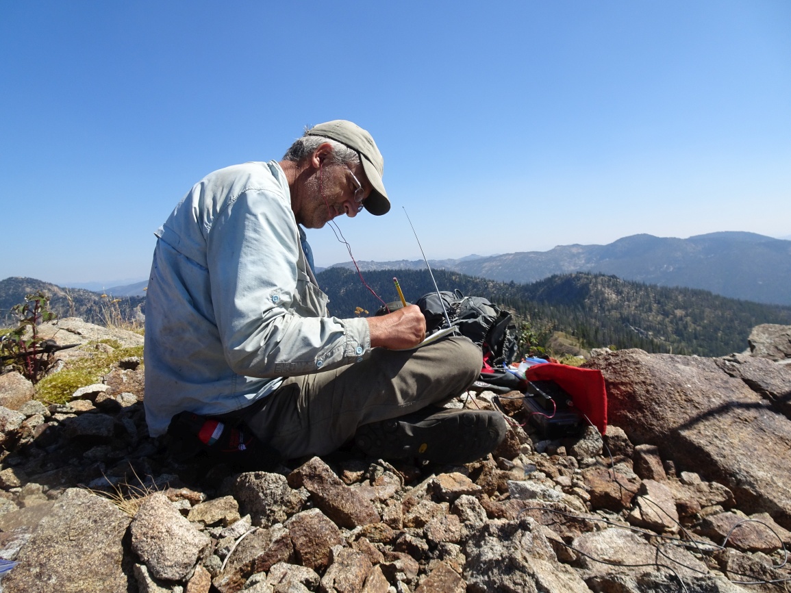
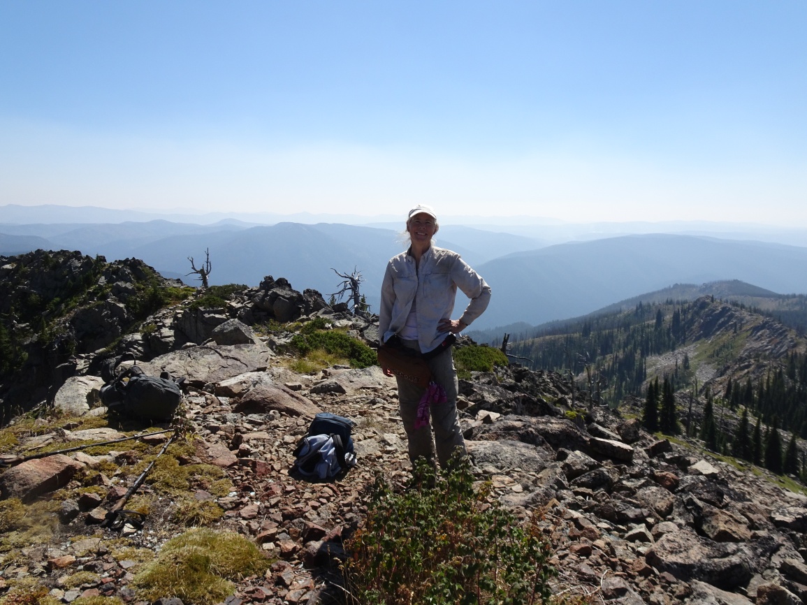
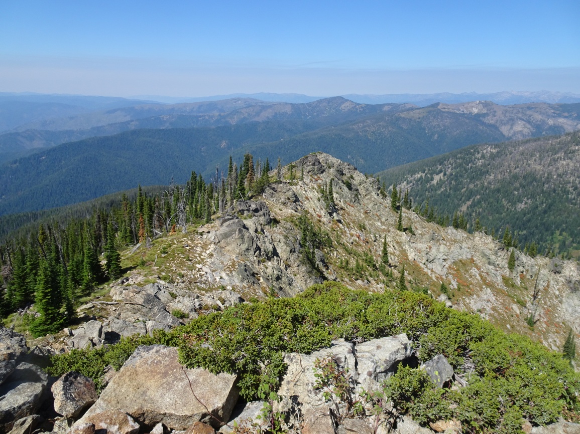
The trail up to the Disgrace Butte ridge and onwards to Vermillion Peak was well maintained in 2020. There is a nice flat spot on top where the log cabin – cupola style lookout used to stand. The lookout was built in 1924, and abandoned by the late 1930’s. Nothing remains except scattered debris. There are very nice views in all directions from this summit.