10.7-miles, +3,800 ft; -2,900 From Elk Mountain TH
1.2 miles, +1,000 ft from Trail 562 Junction
I activated this on the 12th day of a 15-day backpacking from the Elk Mountain Trailhead, via Mink Ridge & Marten Creek with a side-trip up Marten Creek to Marten Hot springs; but the route description is the more direct route across Goat Creek and along the Square Rock ridge that we took on our way out.
It is a relatively long drive to the trailhead on good Forest Service Roads. Most vehicles should be able to make it with no troubles, but some clearance is helpful. To reach the trailhead (beginning at the Red River Ranger Station on Hwy 222/57, drive 0.3 miles south, and turn left (east) on the “Magruder Corridor”/”Nez Perce Trail”/ FS-468. Continue 18.8 miles and turn left on the Green Mountain Road (FS-285). Follow this road another 17.4 miles north, past Windy Saddle, to the Elk Mountain Trailhead. There is good parking, a small stream, and a latrine at the Trailhead.
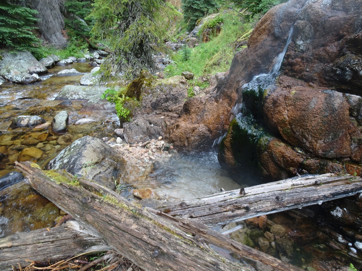
The trail is very well maintained and leaves from the east side of the parking lot. Follow the trail over the shoulder of Elk Mountain, then down its north ridge through a pretty meadow, and onwards as it descends towards Bilk Mountain. The trail switchbacks steeply down the east side of the Elk-Bilk ridge, then contours around the south slopes of the Bilk SE-Ridge before climbing back up to a trail junction in the saddle on the southeast ridge of Bilk. Continue straight (north) at the junction and drop steeply down to Goat Creek where there is good camping and some of the clearest water that can be imagined. The trail continues down Goat Creek a short distance, then winds north around the brow of a hill before becoming vague for a short distance as it continues north across a broad swale. The trail is more apparent again as it switchbacks steeply up the ravelly south face of the Bilk - Square Rock Ridge to eventually intersect the well maintained ridgetop trail (trail 602). Follow this trail northerly past W7I/IC-124 and on to the junction with Trail 562 at the base of Wylies Peak.
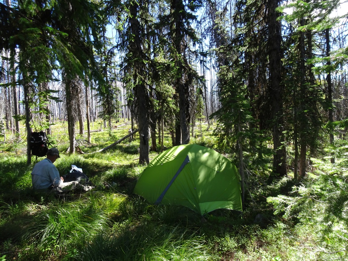
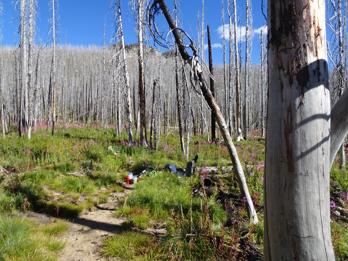
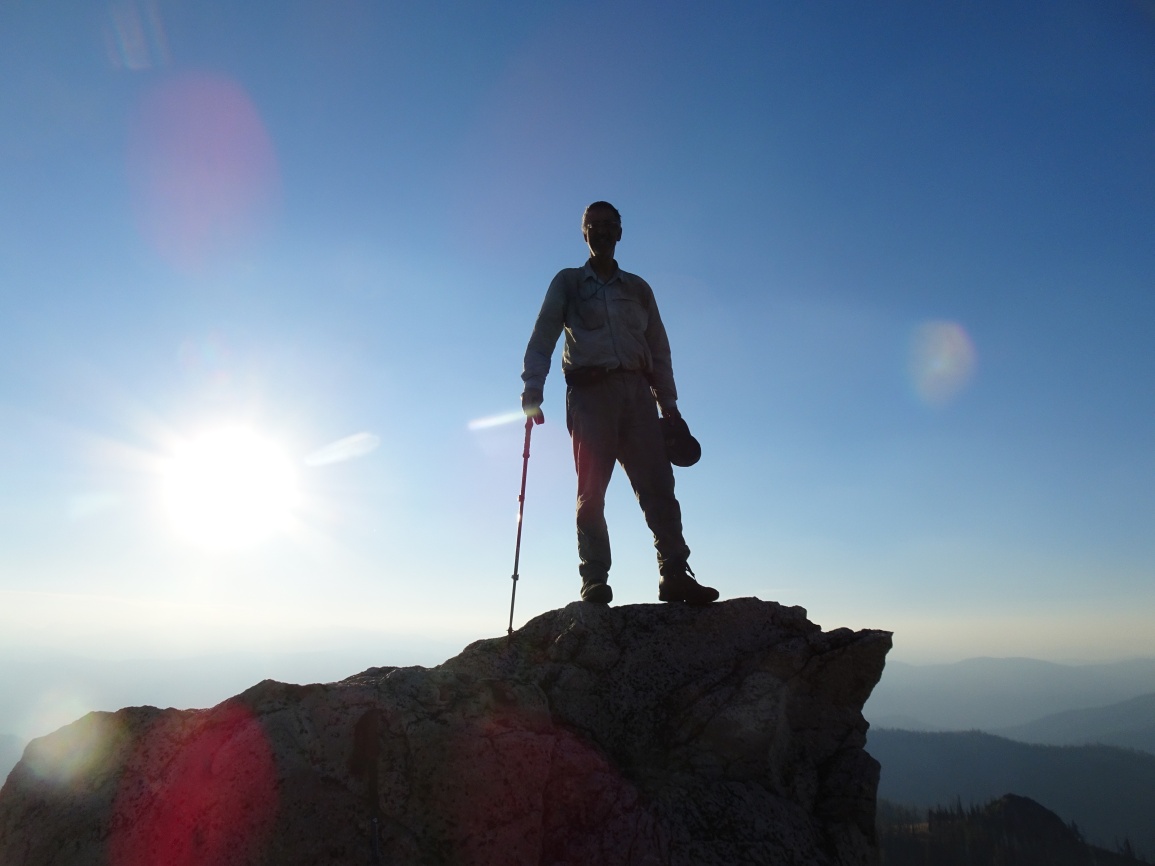
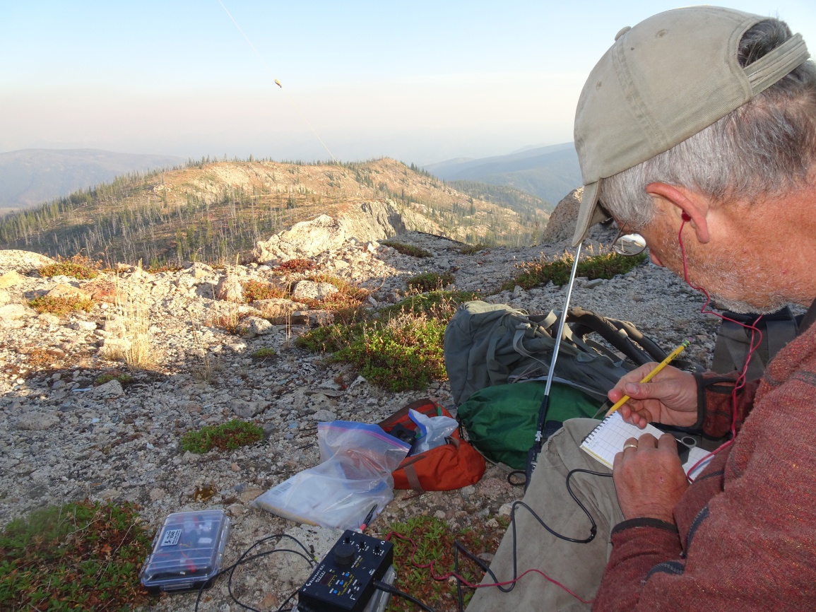
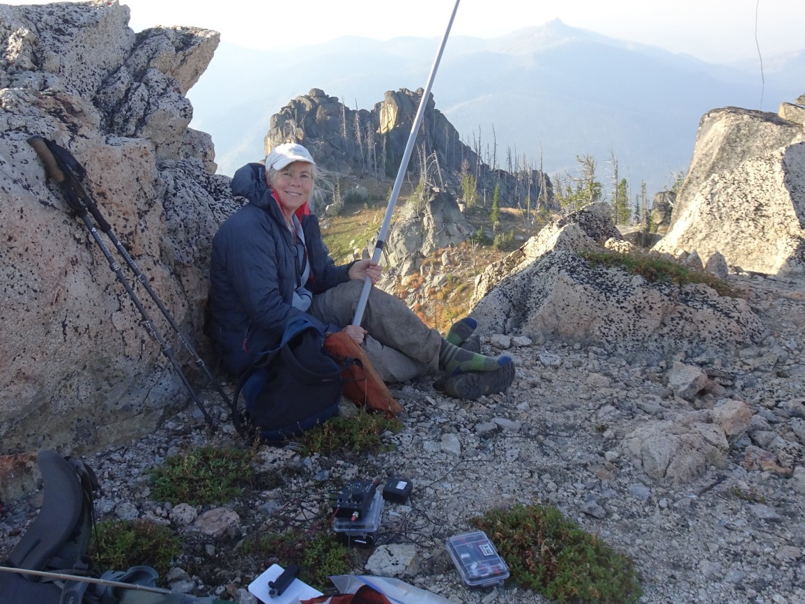
While we camped in a tiny semi-level spot within the unburnt timber just north of the 602/562 trail junction, it may be more practical to risk the standing-dead timber and camp alongside the nice stream that lies a short distance south down trail 562. This area all burned during the 2012 Goat/Ballinger fire. The trail up and over Wylies Peak is well maintained. It is an easy scramble up the south side of the summit rock to reach the flat-topped summit where the old fire lookout used to stand. The lookout was a log cabin cupola type that was constructed in 1925 and remained standing atop its spectacularly precarious perch until it was destroyed by lightning in 1983. Take care not to drop anything, as it is a long way down the east side!