17.6 miles; + 5,900 feet; -1,900 feet; From the TH near Gibson Dam
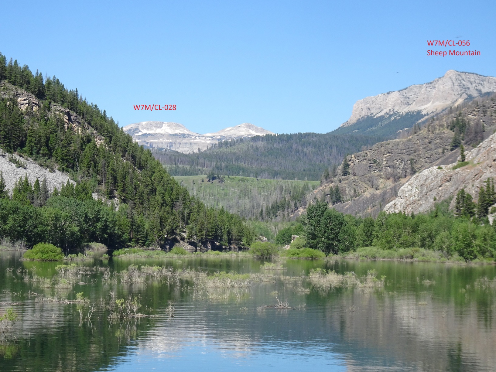
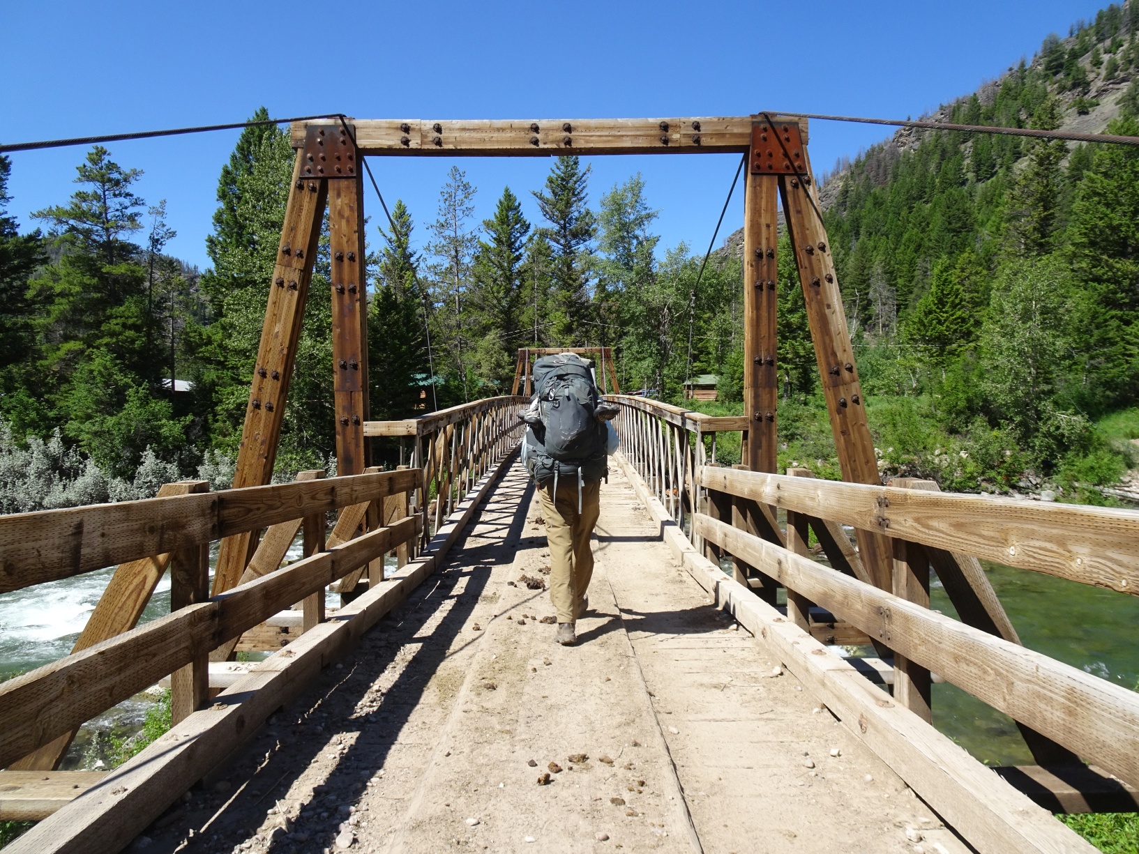
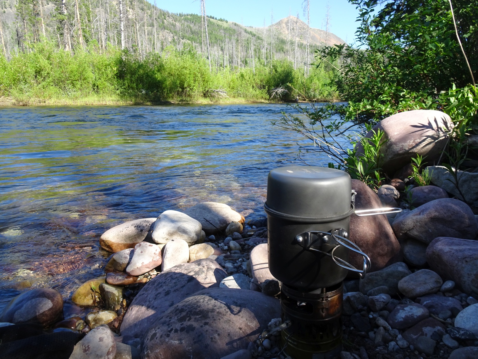
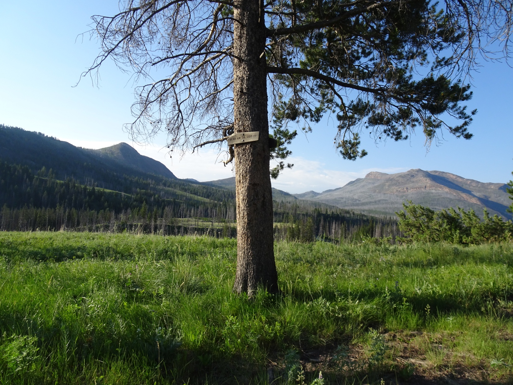
We climbed this mountain on Day-3 of an 8-day Backpacking trip in the Bob Marshall Wilderness from the trailhead parking area just south of the Mortimer Gulch Campground on the north side of Gibson Reservoir. Begin by hiking 5.8 miles west on Tr. 201 along the north side of Gibson Reservoir to Reclamation Flats. Continue west on Tr. 202 to the K-Bar-L Dude Ranch. The trail continues through the K-Bar-L (which is private property that should not be loitered upon), crosses the North Fork of Sun River on a nice Pack Bridge, exits the K-Bar-L, and continues around the south side of Sun Butte (W7M/CL-169). Continue paralleling the South Fork of Sun River to the Bear Creek Trail turnoff (Tr. 222). We continued past this junction to camp alongside the S. Fork before continuing up the Bear Creek Trail.
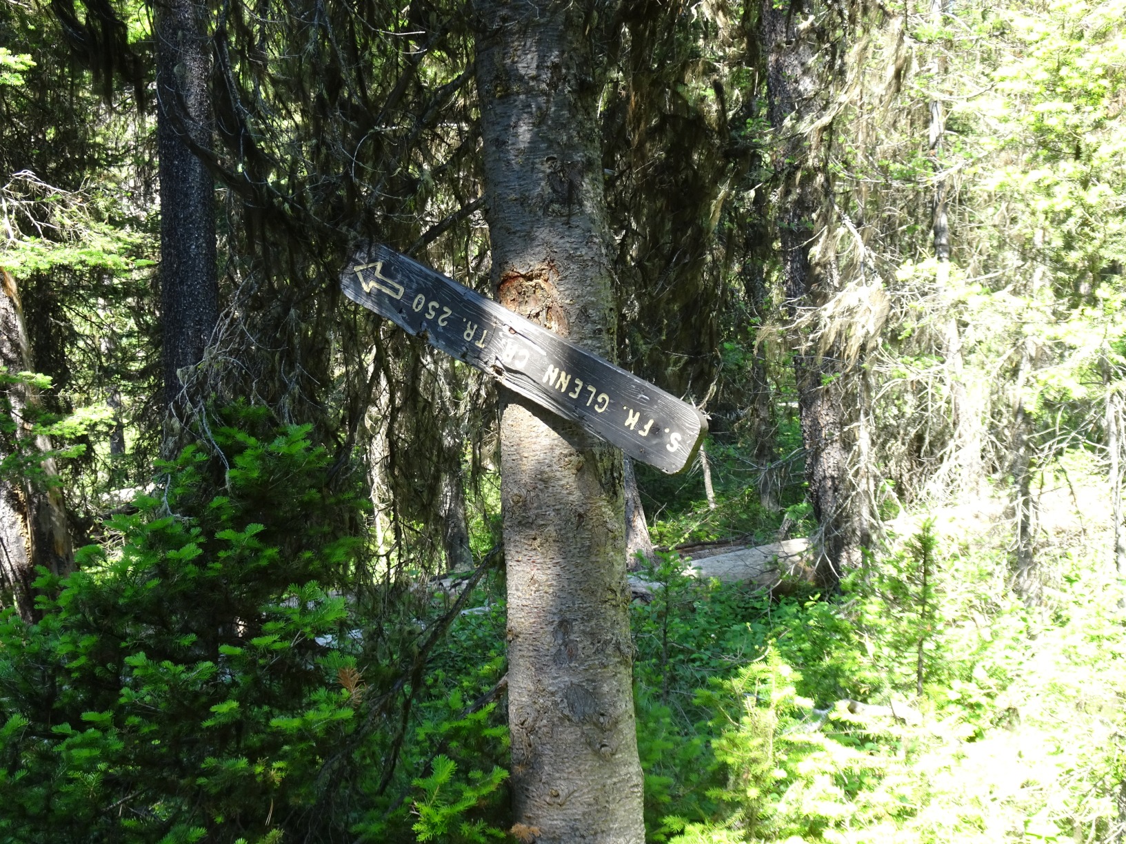
There is trail junction about 3.6 miles up the Bear Creek trail at about elevation 5,830. The junction was marked with the remains of an old USFS sign in 2021 but is not marked on some maps. While the official trail doubles back east before switchbacking to the west, it becomes very faint and is not well cleared. We found it much easier to bushwack straight up the hill about 100 vertical feet to a well-defined horse trail that parallels the Bear Creek Trail for about 0.3 miles before ascending to the Bear Creek – Glenn Creek saddle on the west side of Sheep Mountain. We turned left (west) shortly after crossing the Bear-Glenn saddle and continued up the south side of South Glenn Creek until we reached a good campsite, which we used as a base camp.
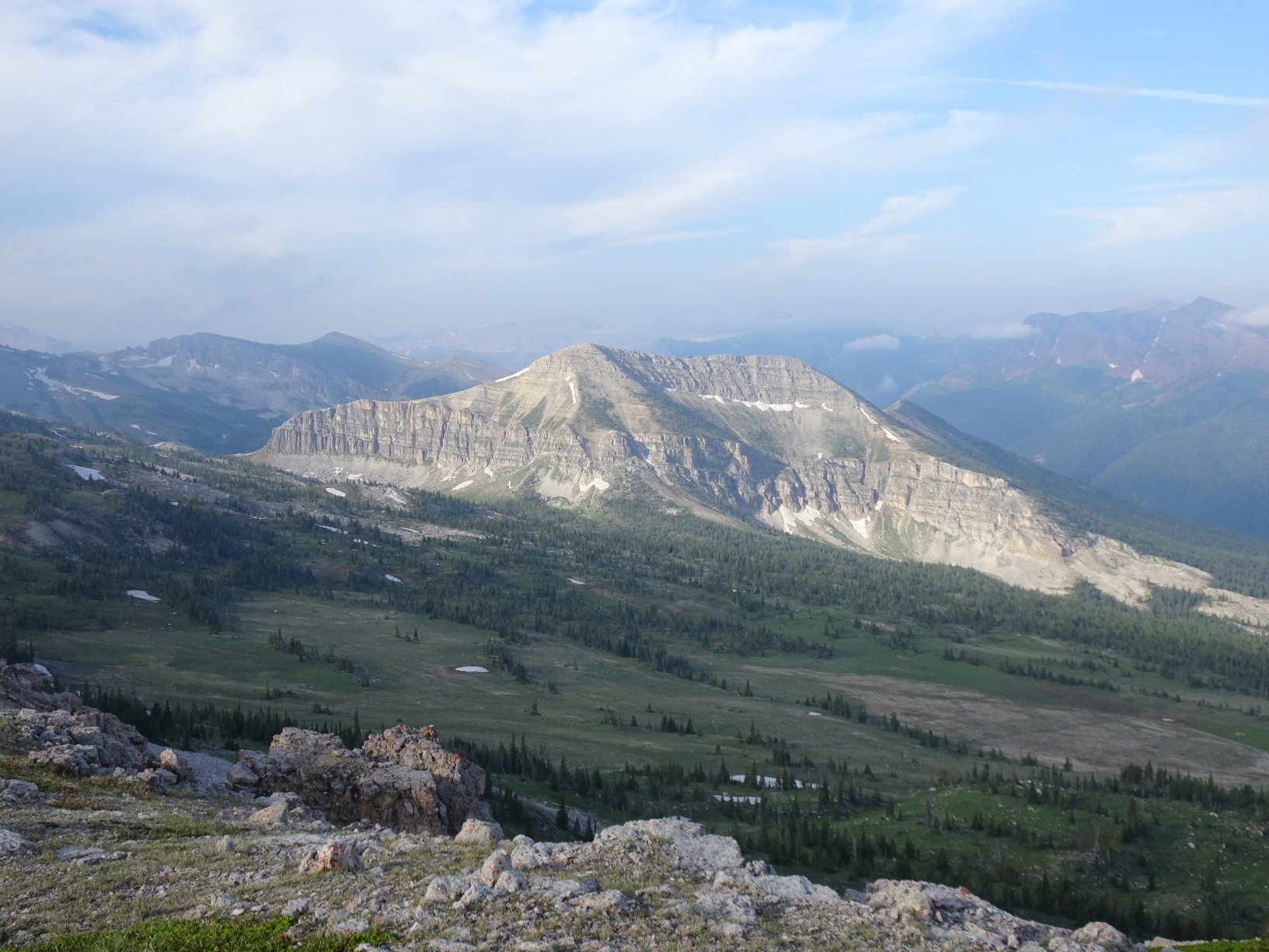
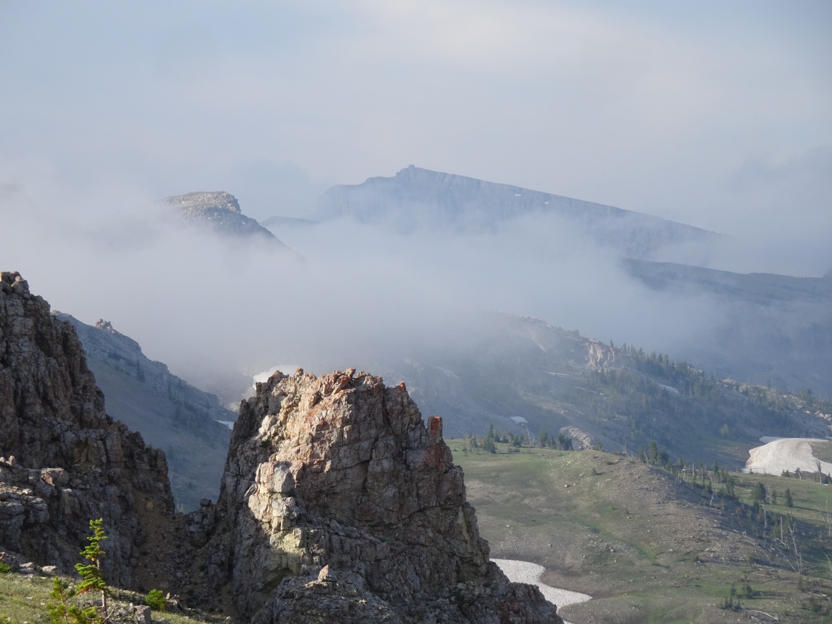
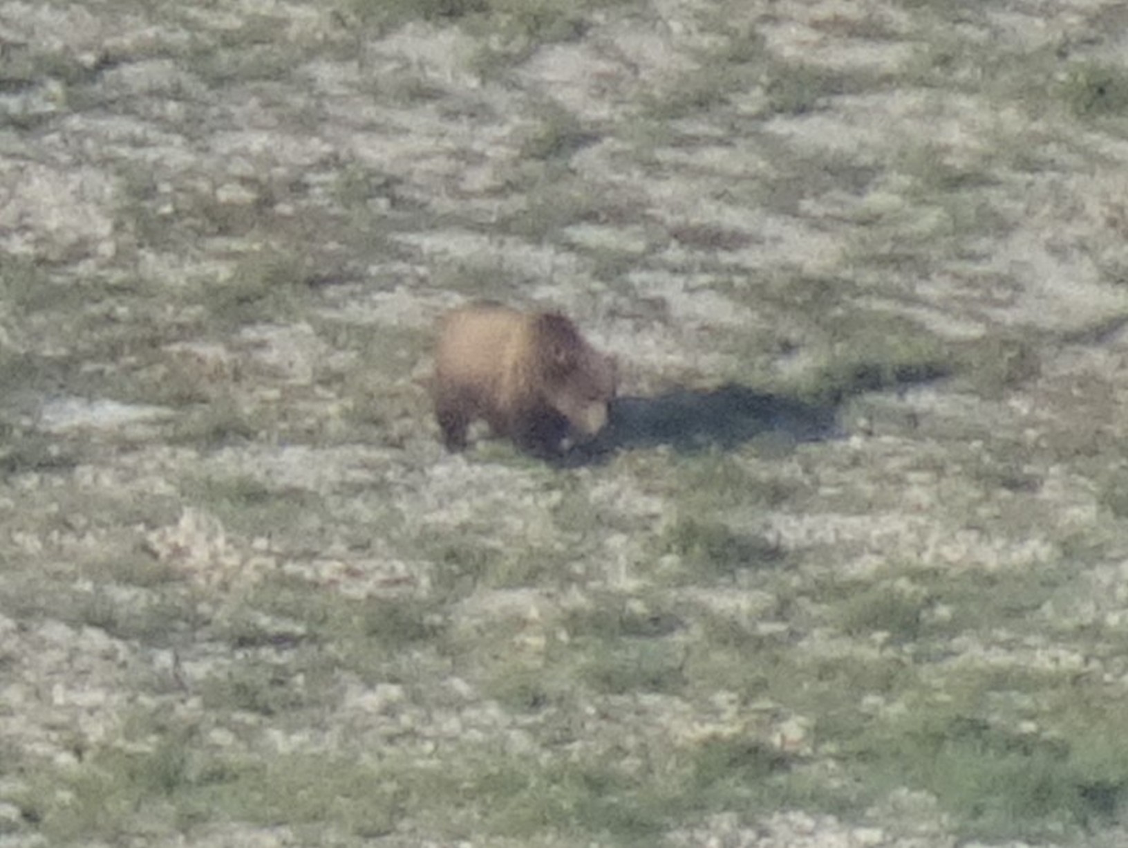
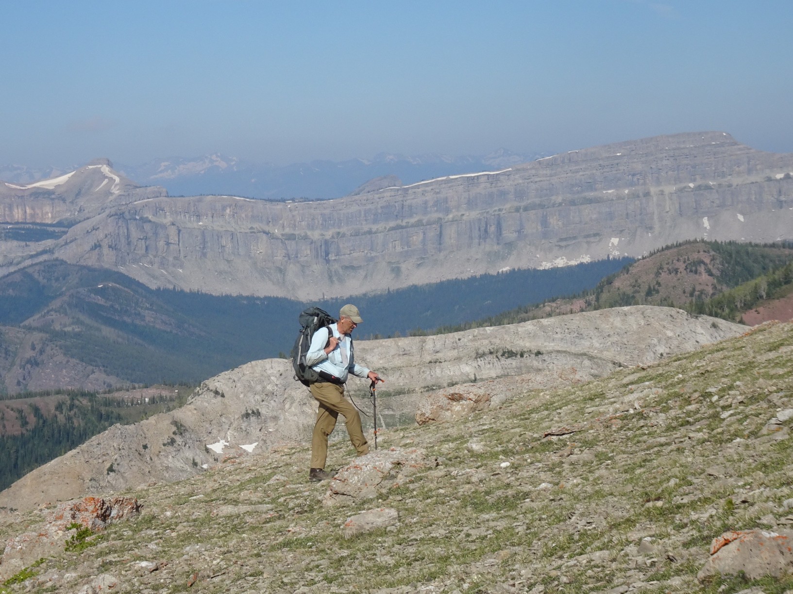
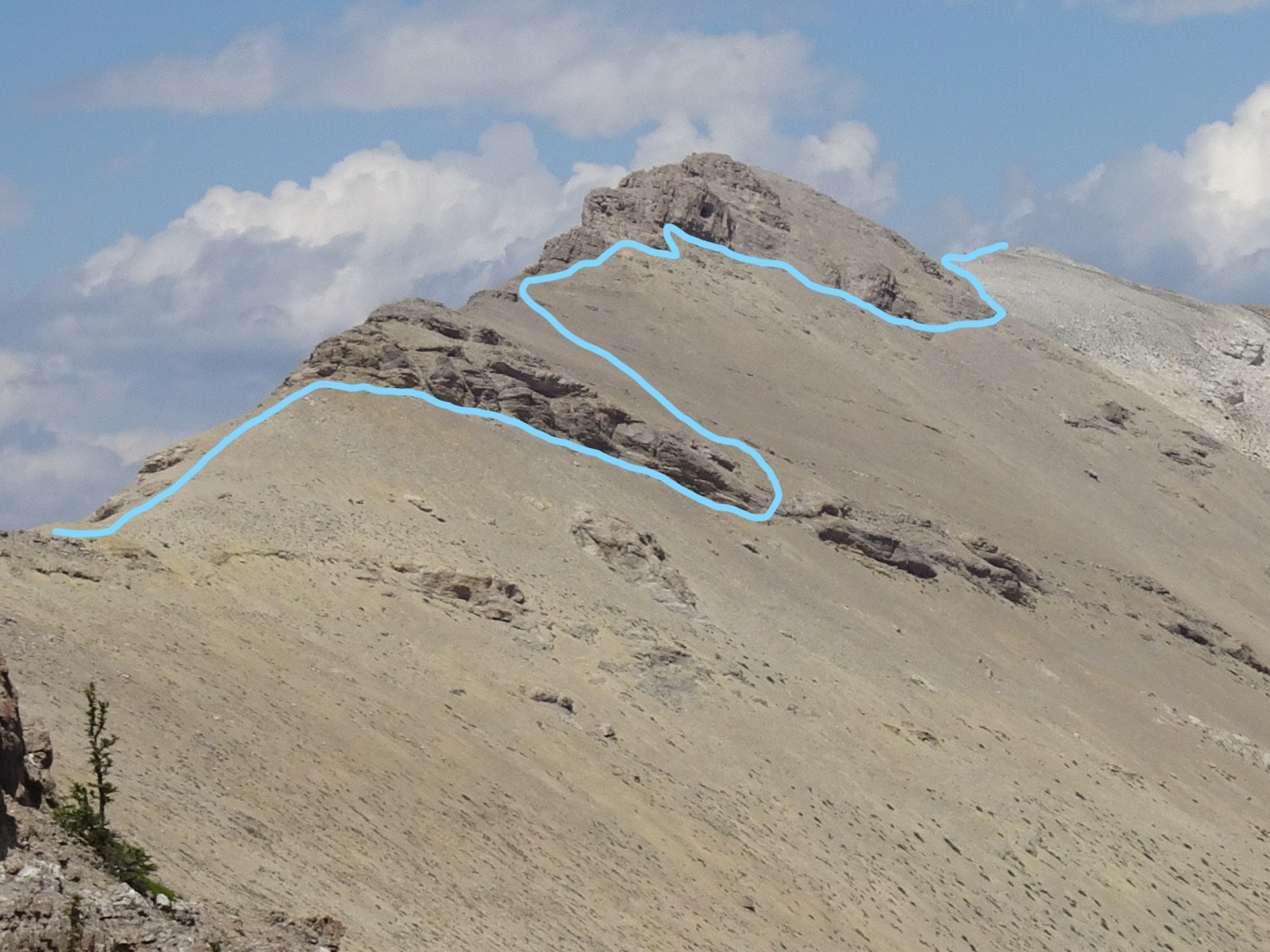
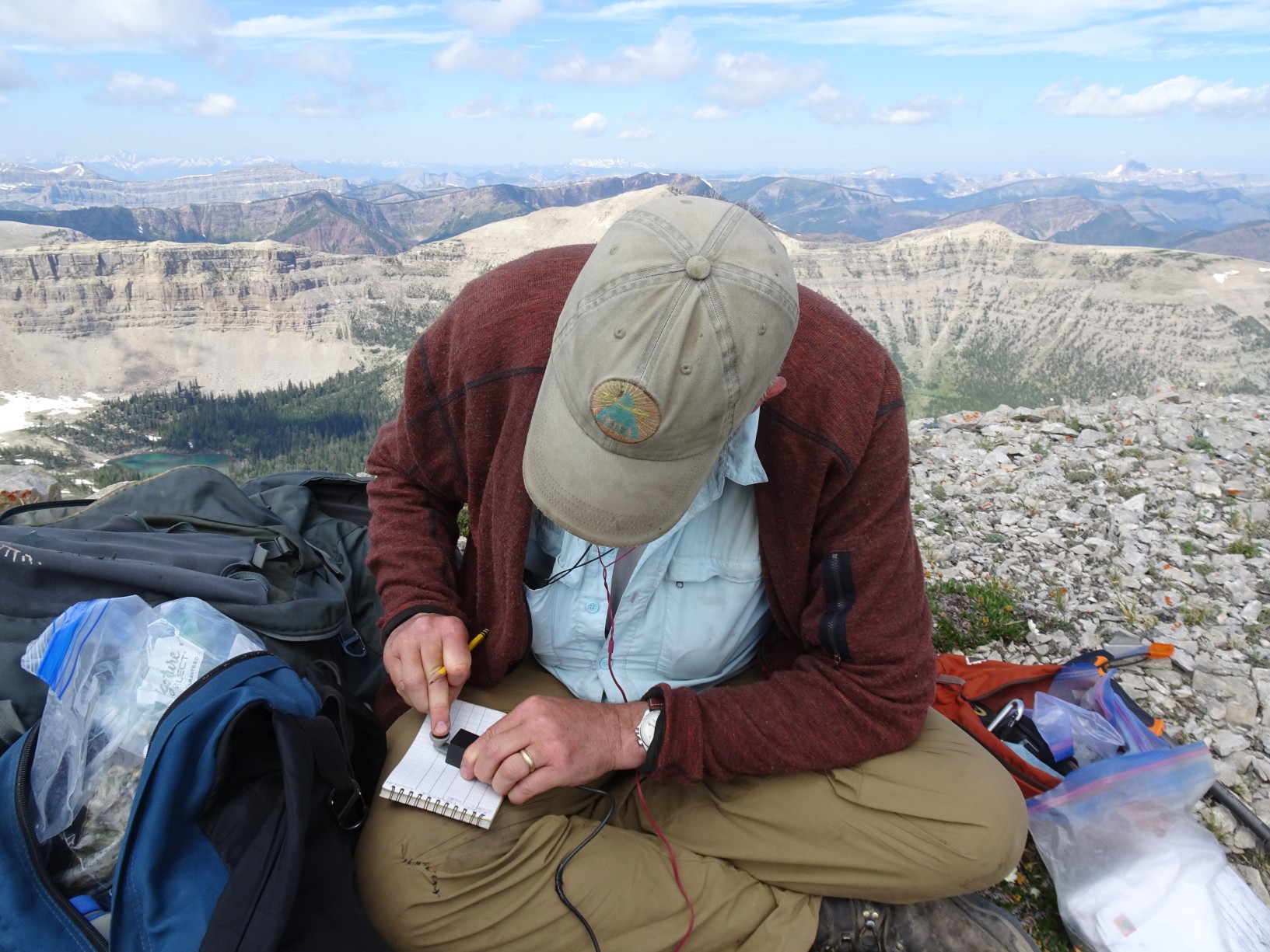
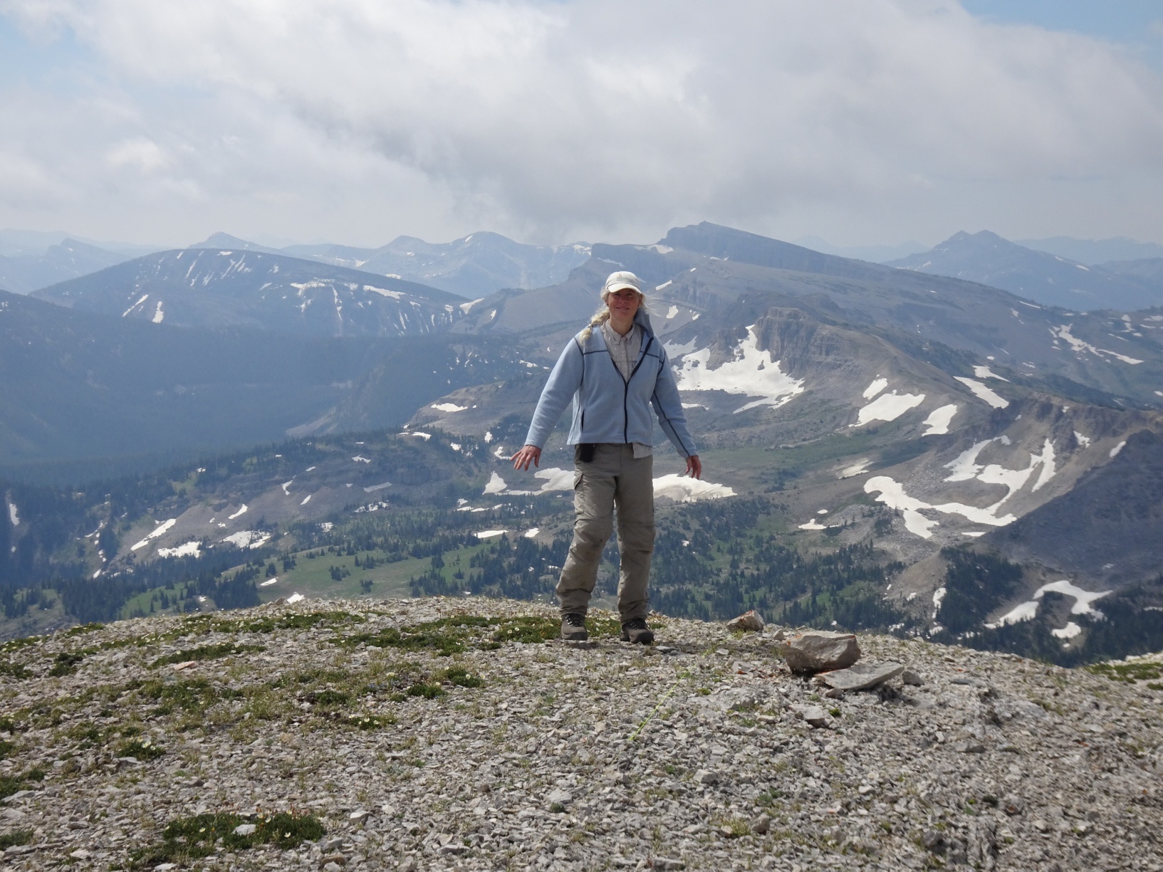
To climb Slategoat Mountain, ascend the broad sloping basin from the South Fork of Glenn Creek to the pass with Grizzly Gulch and enjoy the stupendously beautiful views of the Chinese Wall and the surrounding area. From the Glenn-Grizzly pass, continue north up the ridge. We ate breakfast here while watching a grizzly bear feeding in the aptly named headwaters of Grizzly Gulch below, then continued down to a saddle, then up a steep talus slope to skirt the edge of Peak 8642. Continue along the ridge and skirt the right (southeast) side of summit 8732 to reach the White Ridge. Follow the White Ridge northeast to the summit of Slategoat Mountain. We found this portion of the climb to be very slow, with many cliffs that required circumvention (usually on the southeast side) and much talus. We downclimbed a considerable distance beneath the southeast cliffs of peak 8842 before finding a good path through the cliff band and up to the summit ridge. The approximate path (as I recall it) is sketched on a photo.