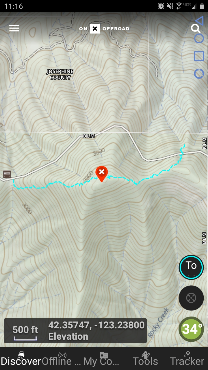
UPDATE: 2025 I found a bit easier trek up, still steep and unstable ground but the take off from the road up the bank is easier. They just logged so there is a clearing up to the BLM line. New track loaded on maps.
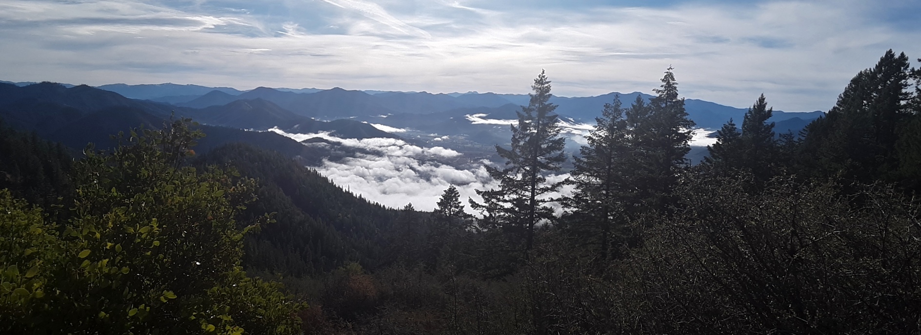
This was #2 of 3 that I did outside of the town of Rogue River during a day trip. This one was a killer. When I click treacherous trail it is because there was none. I drove the main road (BLM 37 5 1) until what seemed to be the highest you could drive to on the north side but the bank is very steep and brushy so it was difficult to find a good starting point. And boy was it hard. This hill is mainly fist sized rock that is mossed over, crumbling beneath your feet, with a very steep angle to climb. It was difficult to stay upright. From this path, you will get to a saddle, sort of a false summit, then keep going west. Not too far from the summit there was an open mining shaft that I could not see the bottom of so be careful! Forested summit but some nice views going up. I chose to come down the west pointing ridge rather than back tracking as it seemed a bit dangerous for me. It came to about 1.5 miles basically going from the east ridge up, west ridge down with 600' gain, most of which is climbed the first and last 200 yards. This one isn't on my favorite list...
de AG7GP