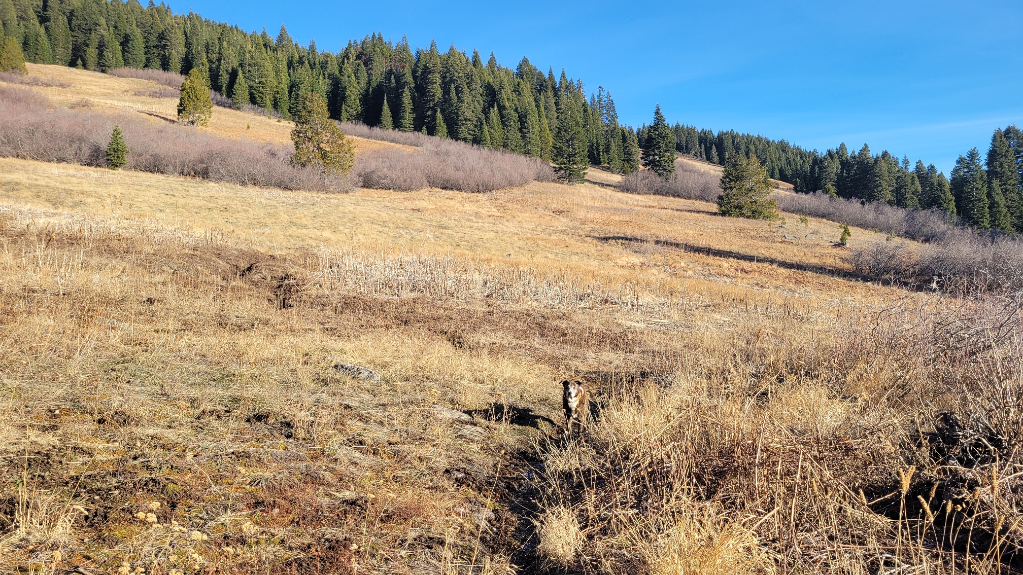
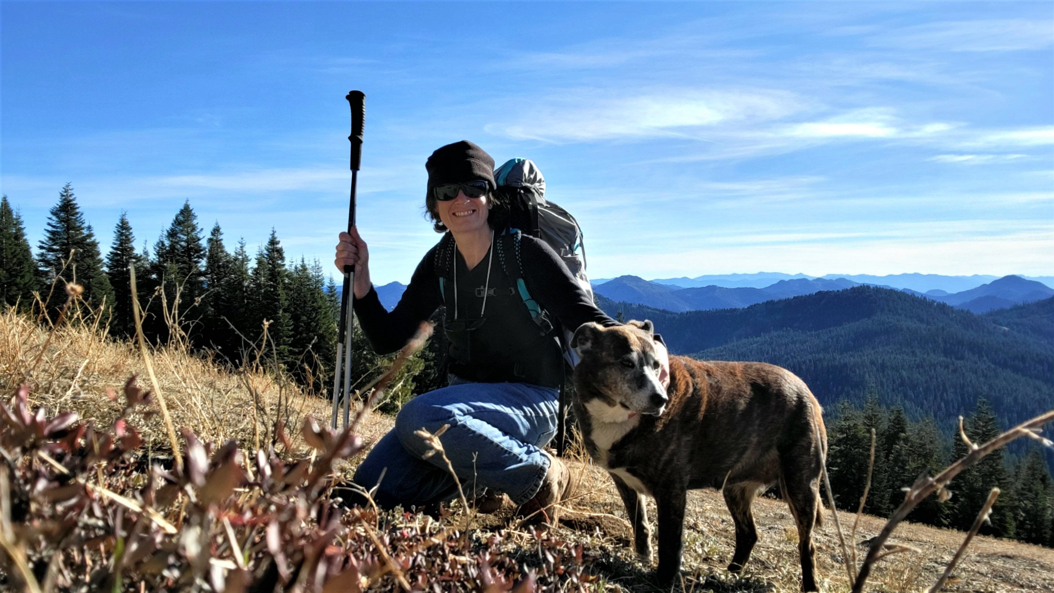
Lake mountain has been on my list for quite a while but for some reason I had the impression it was going to be much harder. I was waiting to do it with a partner for safety reasons but it ended up being a great day of just me and Maggie. It is a steep mountain but most of it is either trailed or open meadow until you get towards the very top. I made the mistake of going straight up not looking at my GPS satellite images and got very tangled up in the manzanita and buck brush. This is definitely not Maggie's favorite way to hike, sometimes refusing. However I went a different route coming down on the west side that is more open and basically just dirt, no brush. It is a very steep climb the last 1/3-1/2 mile where you have to ascend about 700'. It was very worth it and an enjoyable hike despite the challenge.
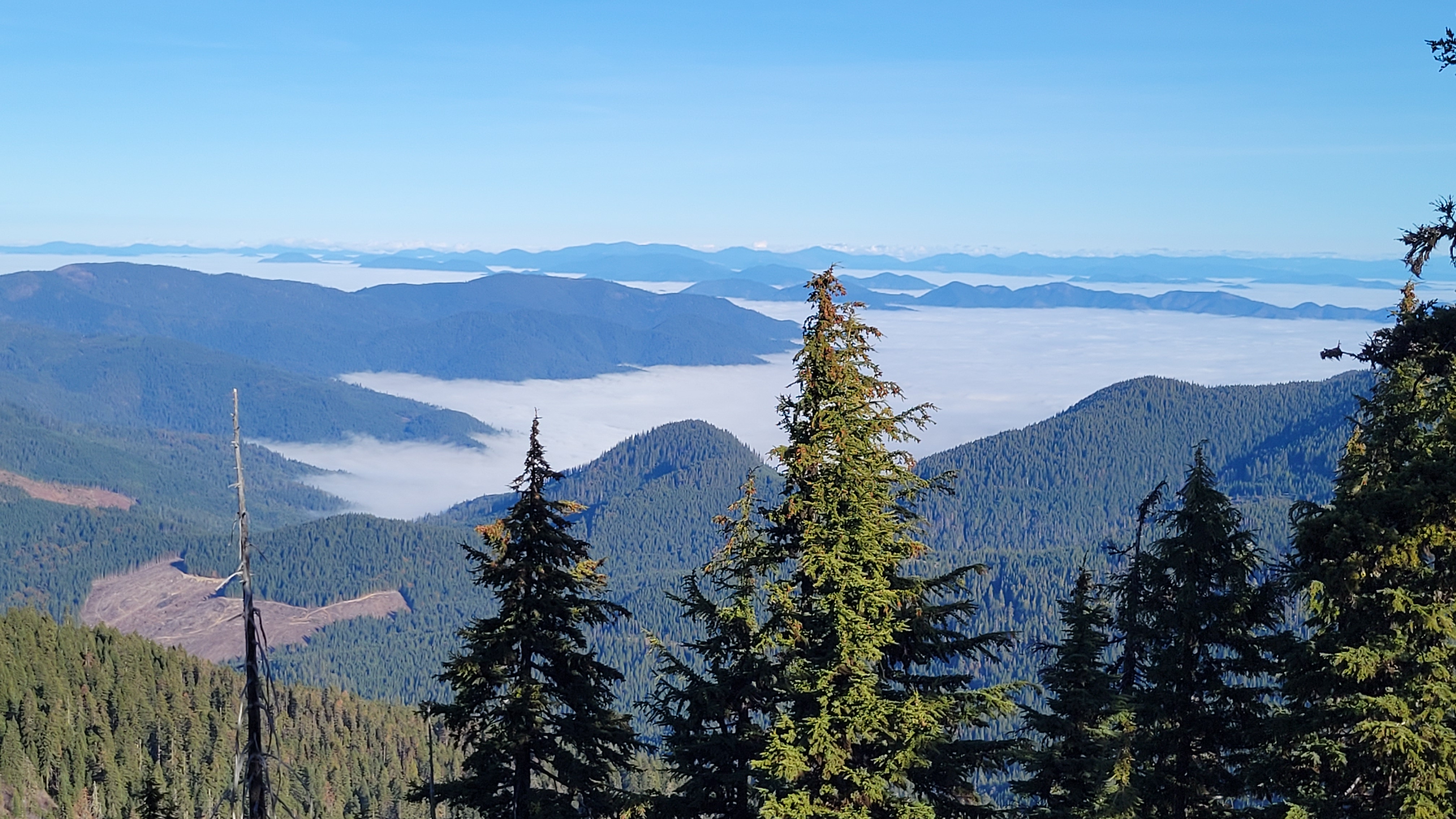
Knowing this would be my only summit for the day, I spent more time than I usually do calling CQ, enjoying the sunshine while all the valleys were locked in with cold wet fog. I operated pretty much on the boundary of Oregon Caves NM and the NF to do a park and SOTA combo.
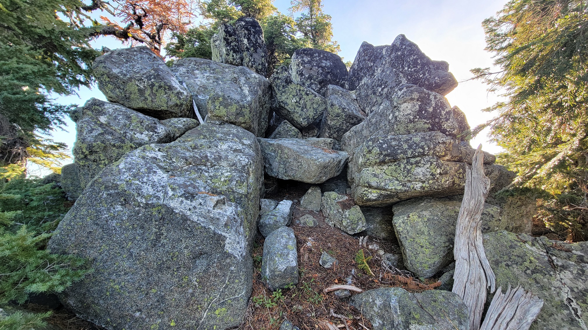
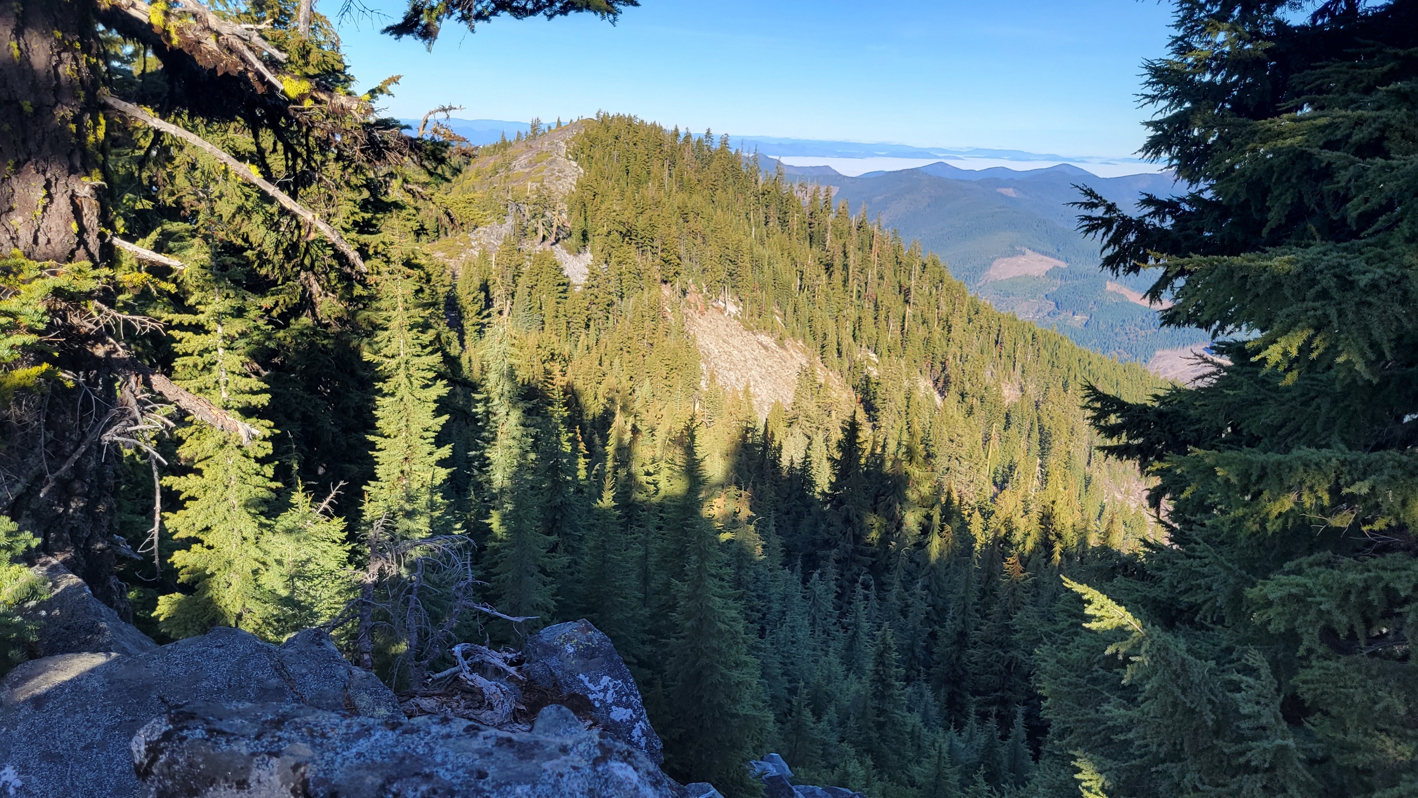
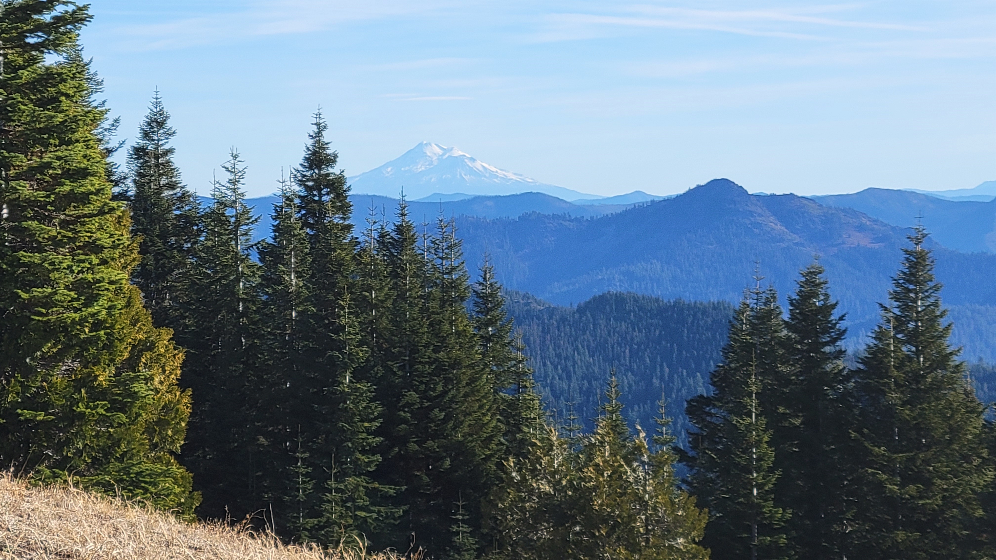
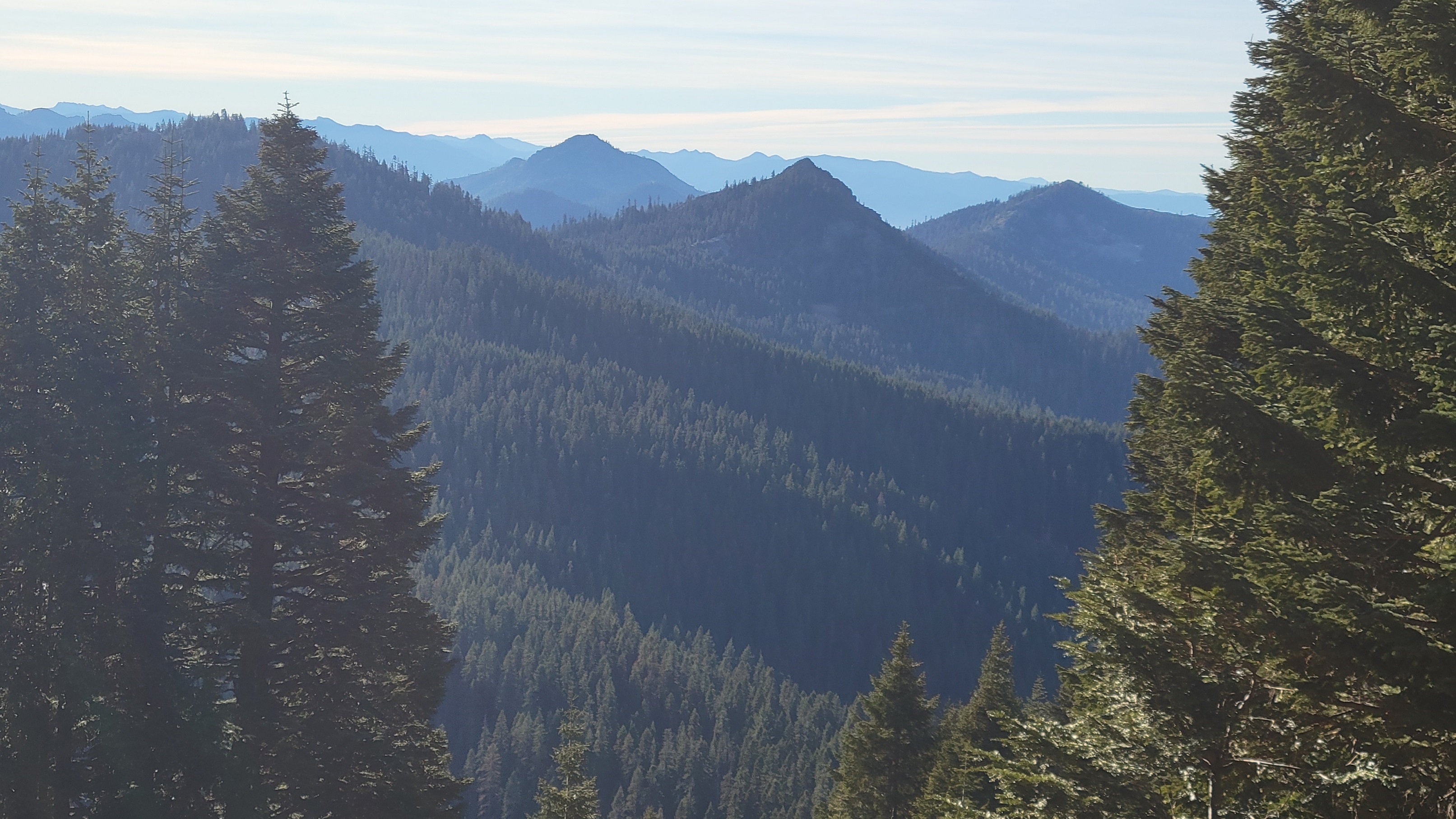
You start at Sturgis Trailhead, a small primitive campground and parking area. Take Sturgis Trail up to Boundary Trail. Along the way you will cross Sturgis Fork several times it's a very nice hike. You'll turn right/East on boundary trail, Some maps show the boundary trail a little bit off but it's pretty obvious where to go, you just go a little ways on trail then take your pic of where you want to start climbing up the big meadow. I recommend staying a bit west avoid brush at least at top. There are large patches of willow or wild plum in the meadow but they are easy to avoid. Based on my experience with this area I am guessing this could be pretty wet in the spring/early summer time. The summit consists of large boulder rock formations and some very steep boulder cliff, but there are some open areas for easy setup in the AZ. I have been working on accomplishing completion all of the high peaks in this Applegate Siskiuyou mountain area. It's rough country, especially the lower peaks, and can be difficult but it carries so much beauty. Hiking up on a clear day you will have great views of Shasta and many other Siskiyou mountains. I always enjoy getting a perspective and view of the other mountains that I've hiked. From Lake Mountain I could see Craggy, Swan, Arnold (also known as Lake Peak), Steamboat, Greyback, and many other mountains I've enjoyed climbing this last year. From Thompson Creek Rd take FS Road 1020, Sturgis Creek Rd, this is very obvious as it's where the pavement ends and there is a large pull out. Continue for several miles on road 1020. There are some signs for Sturgis Trailhead. Eventually turn on Road 600 which isn't far to the trail head but it is a rough jeep road, especially the first 100-200 ft. High clearance is definitely needed or you might need to walk instead for this additional half mile to TH. de AG7GP