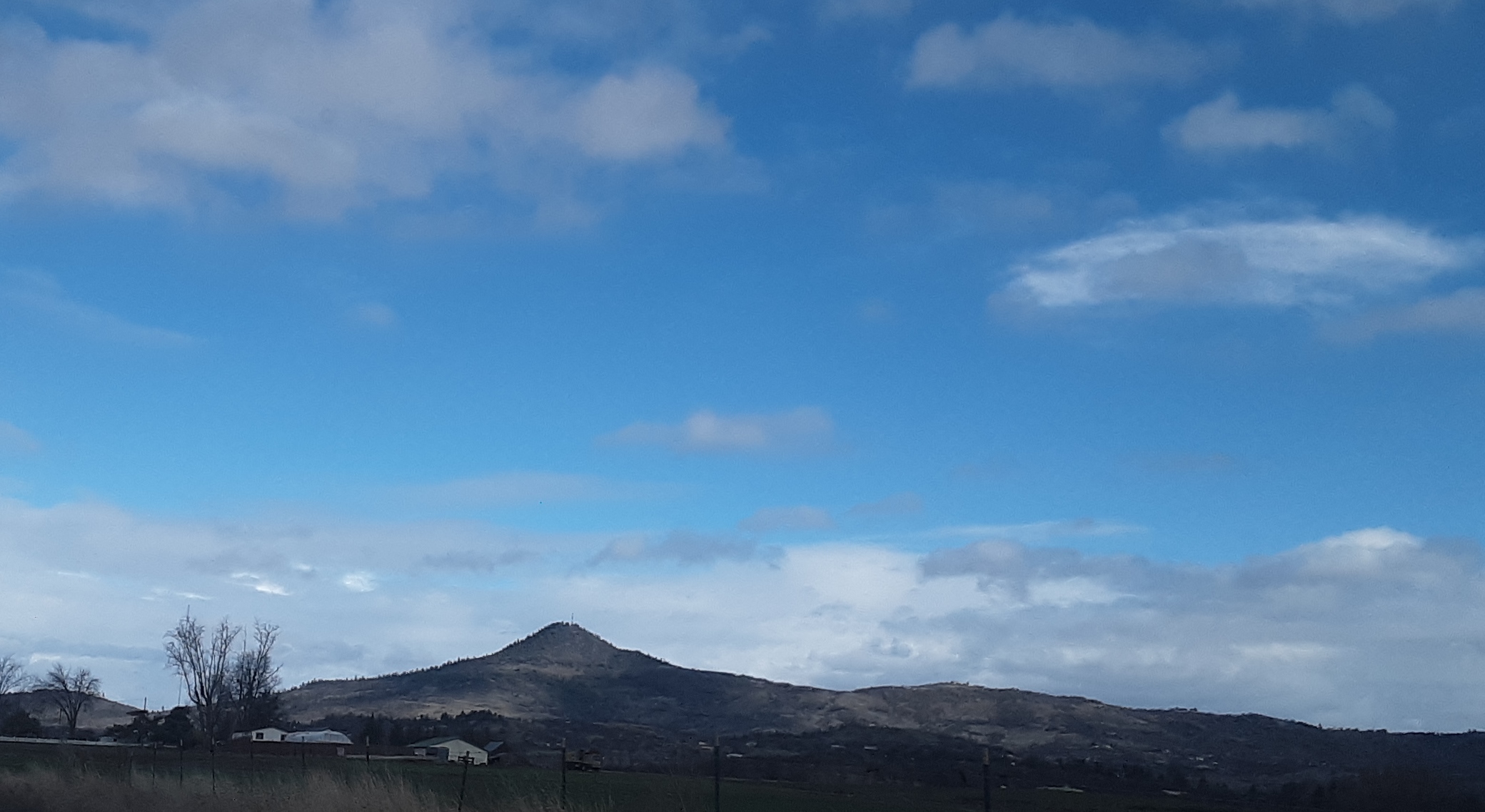
I thought I should write up a current summary on Roxy since one has not been done for quite some years and the area has changed. Roxy is the closest summit to my home qth and I enjoy the hike more each time I go up. It is a popular hiking and jogging area especially in the warmer months.
First, there is a large parking area at the trailhead now so you can drive a bit closer. There are porta potties and mapping display at the parking area (one more potty part way up trail road at picnic area, but none on summit). This parking area brings you about 1.5 miles from the summit, depending on which path you go. The first 2 times I have took Tower Rd up but today I took Ponderosa Trail and I liked it MUCH better. Great views and more gradual.
I am not sure what it was like many years ago, but I believe the trail system has improved. There are 3-4 options on how to get to the summit. Next time I am going to try Manzanita Trail on the south facing side of the mountain. The big dislike is the mapping and signage is very odd at Prescott Park. It is all coded with abbreviations that are hard to follow without a legend,which I never found, and direction posts that are a bit confusing. I used onxmaps mostly but the trails are well cut that I would not have gotten lost without. Another thing is that the trails close if too muddy, but you can still hike Tower Rd up. It is about a 700-750ft gain.
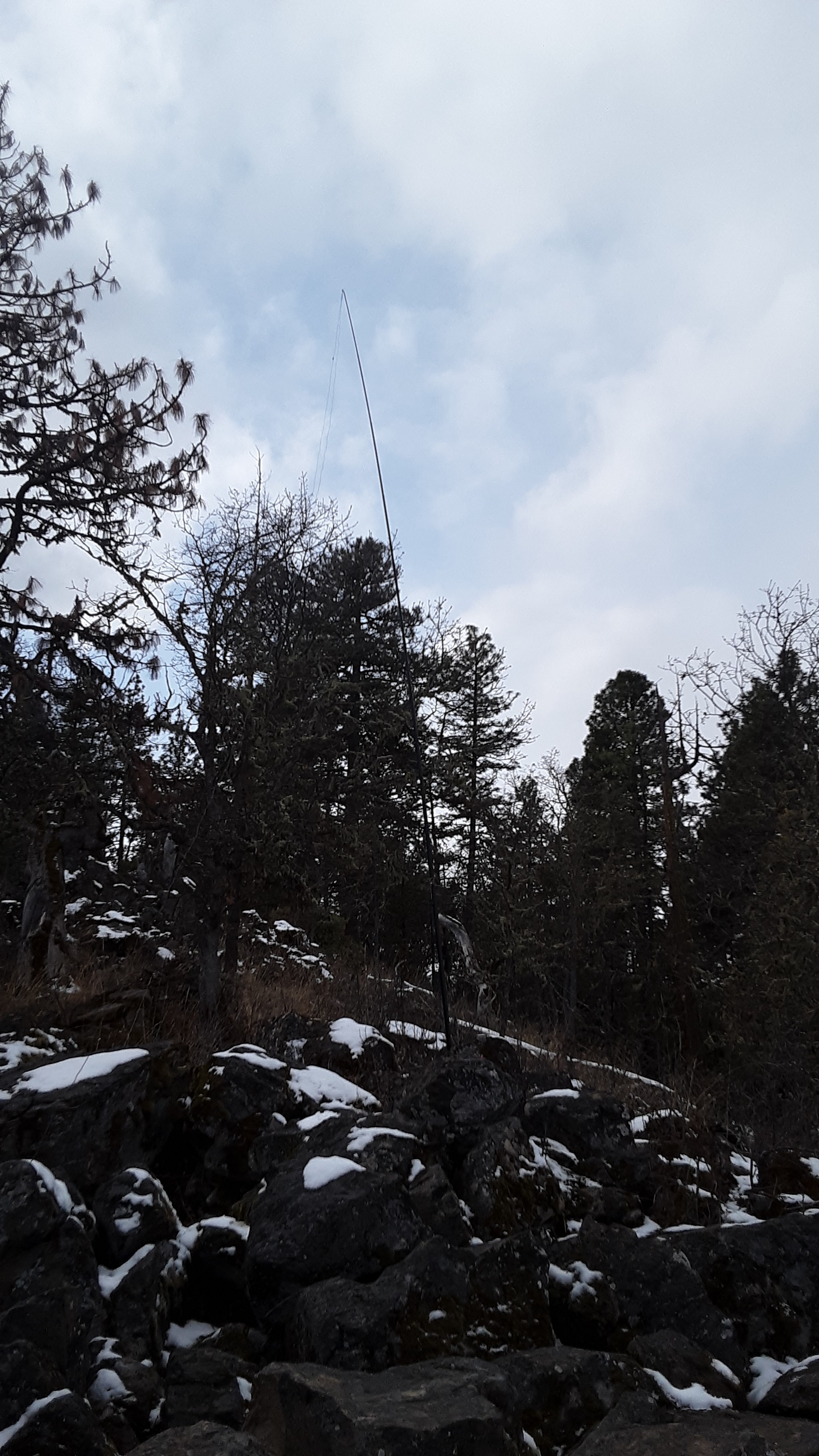
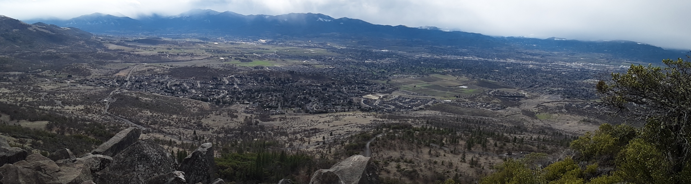
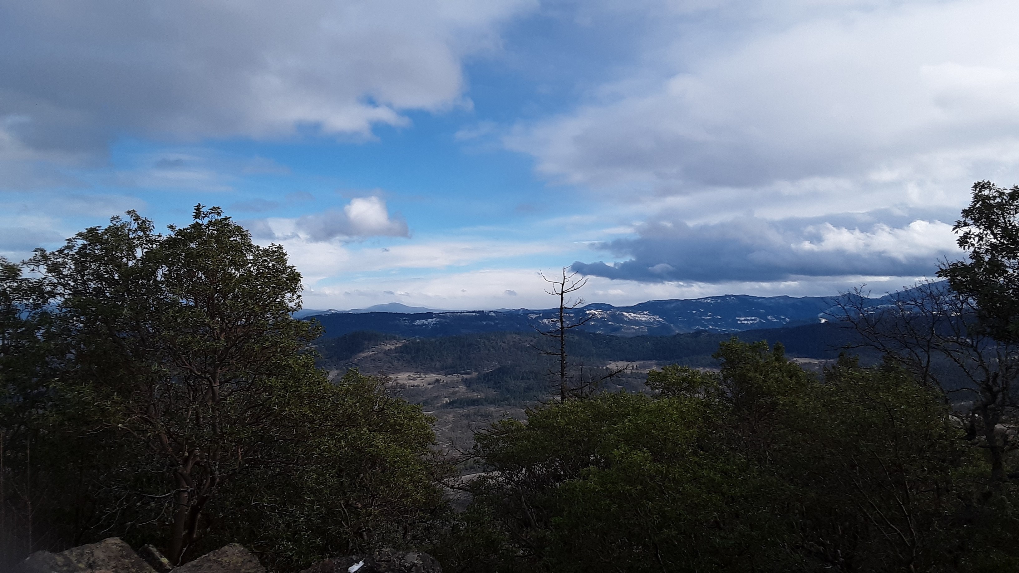
There is a lot of space to set up, but keep in mind the poison oak is heavy on Roxy, best to stay on trail. I like to set up at a steel picnic table furthest from the towers, at a ledge looking towards Table Rocks. So basically on the northish edge. It may be easier to set up at the picnic table more in the center of the flat, which I have done also, but I prefer a view. On a clear day you can see pretty far north towards Roseburg area, Crater Lake Rim, Mclaughlin, etc. Tower Rd has the best view towards Crater Lk and McLaughlin. Still take the time to see the view south from the southern edge by the equipment, it is only a little ways over. It really is a beautiful place.
Lastly, I take Cherry Ln up and back down for getting there rather than Hillcrest. The intersection leaving Hillcrest has changed and I always end up going the wrong way when I head home. Coming from Ashland, N Phoenix Rd, right on Cherry Ln, right on Hillcrest and left on Roxy Ann Rd. I especially take this route reversed when heading home!
de AG7GP