I have already written a long blog on Wagner but thought I would do a separate update as I finally took the trail for most of the trip. Keep in mind that what all us locals know as the trailhead is not on most maps, they have it down the road. There is a large parking area opposite the TH that is not on many maps 42.11449, -122.80047 is where you want to be. From here it will be about 9 miles RT with about 2600' gain, according to my trackers. I took a few paths off trail so there is a little estimation. The trail is nice. A lot of forest, you go thru the Sheepy Slide from the 80s, some sagebrush openings, lots of birds and flowers. But long...
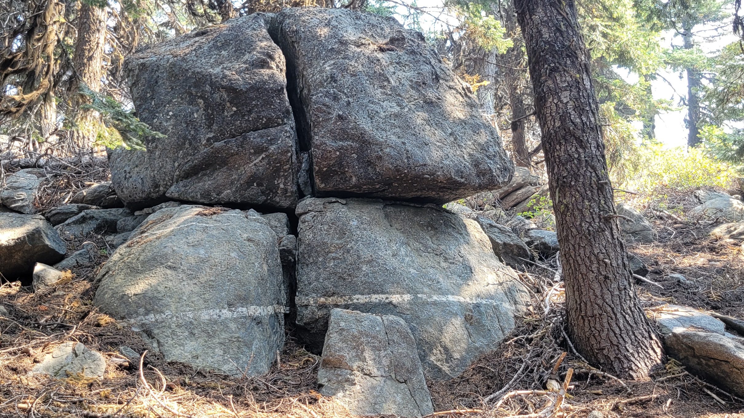
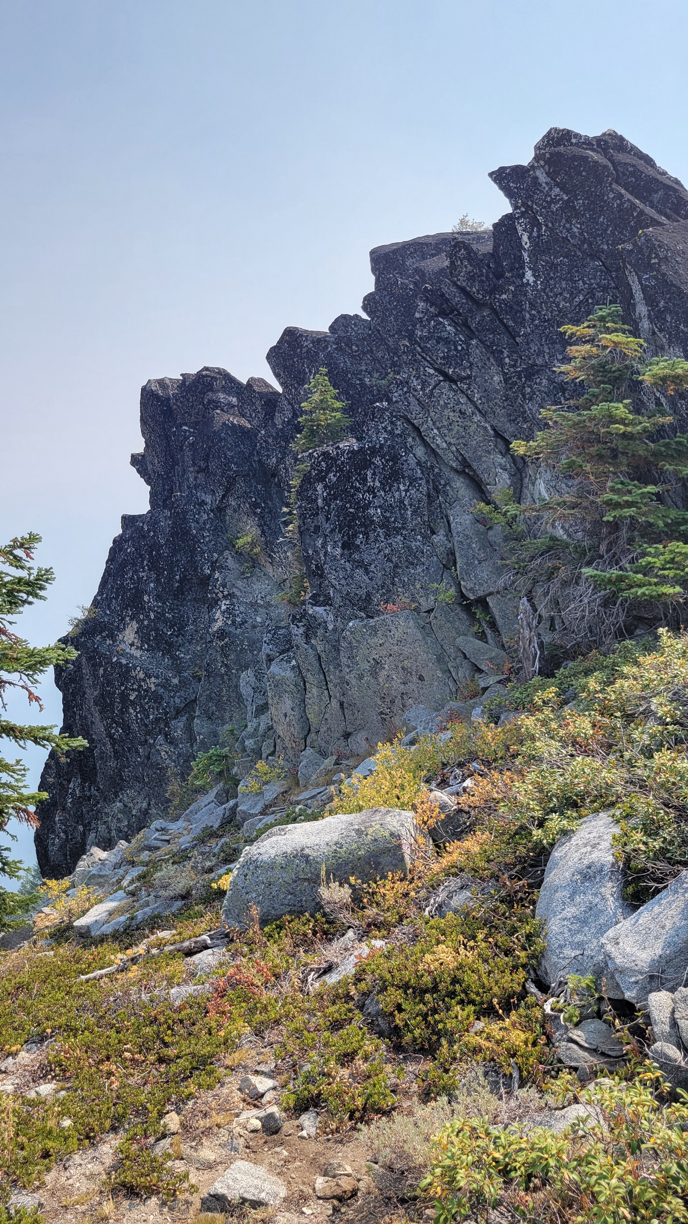
This year I took the trail up to where the main trail meets Horn Gap Trail. From here, instead of taking the Wagner trail I took what my map showed as Horn Gap Trail up the east ridge, there really is not a trail anymore that I could find. I did this because in the past it was difficult to get to the true summit, a large outcrop of rock in the AZ. I wanted to see the summit and was not disappointed. Unfortunately the smoke was so bad I cannot compare views to previous operating locations. The rock formations going up the east ridge, staying a bit on the south side because I knew there were some significant cliffs/drops on the north side I didn't want to get stuck under.The summit cliffs are amazing, somewhat vertical slabs of black moss covered granite, big crevices with sheer drop. Due to no trail, you have to just navigate your way up occasionally bush wacking thru some low manzanita and sage.
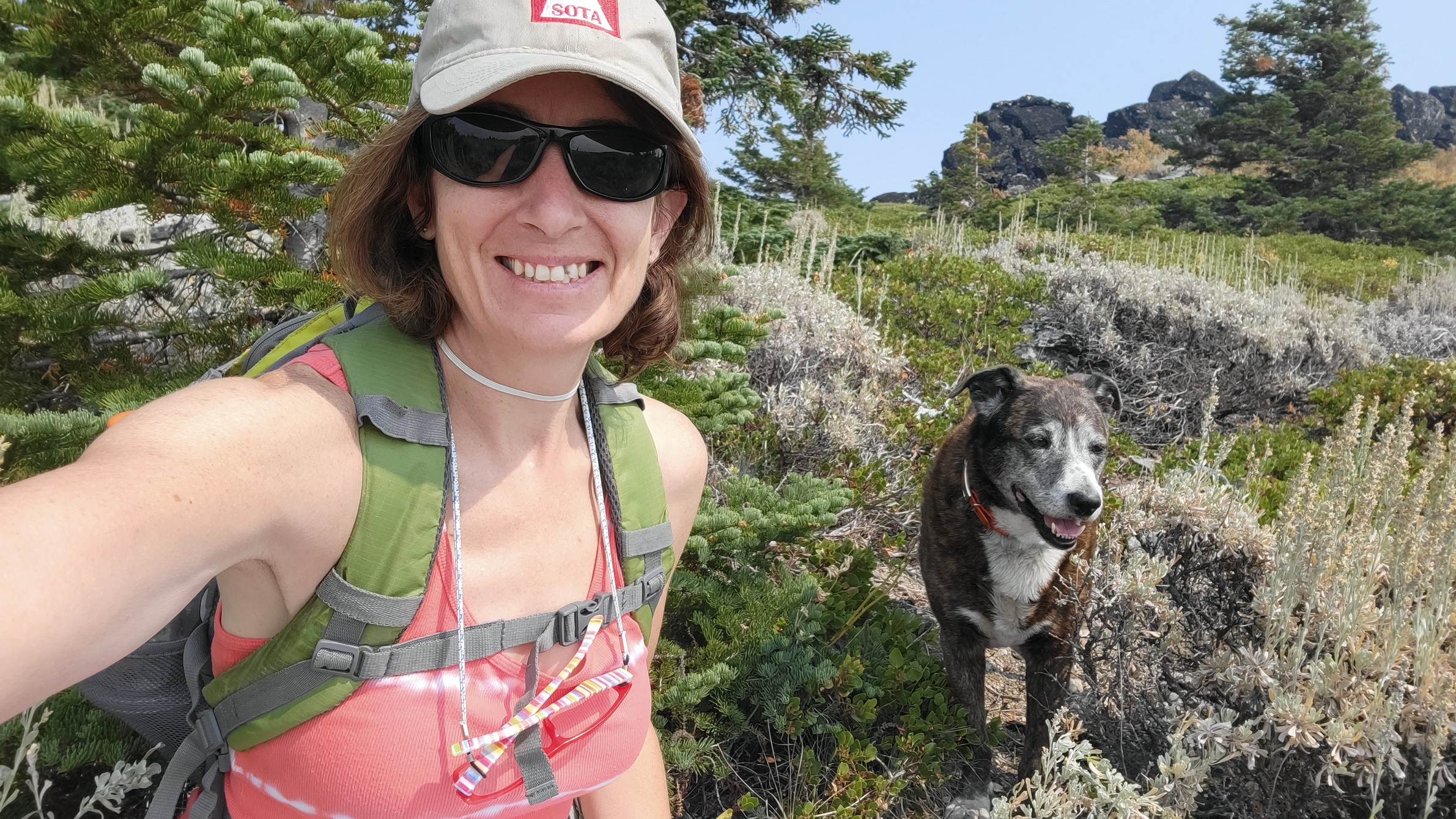
I will go to this area again when clear for my next activation because I liked it better than trying to set up and balance on the boulders. There was also some trees to sit under for shade. When I finished I dropped directly down thru the low sagebrush until I reached the main trail.
Not an easy hike but very enjoyable area.
de AG7GP