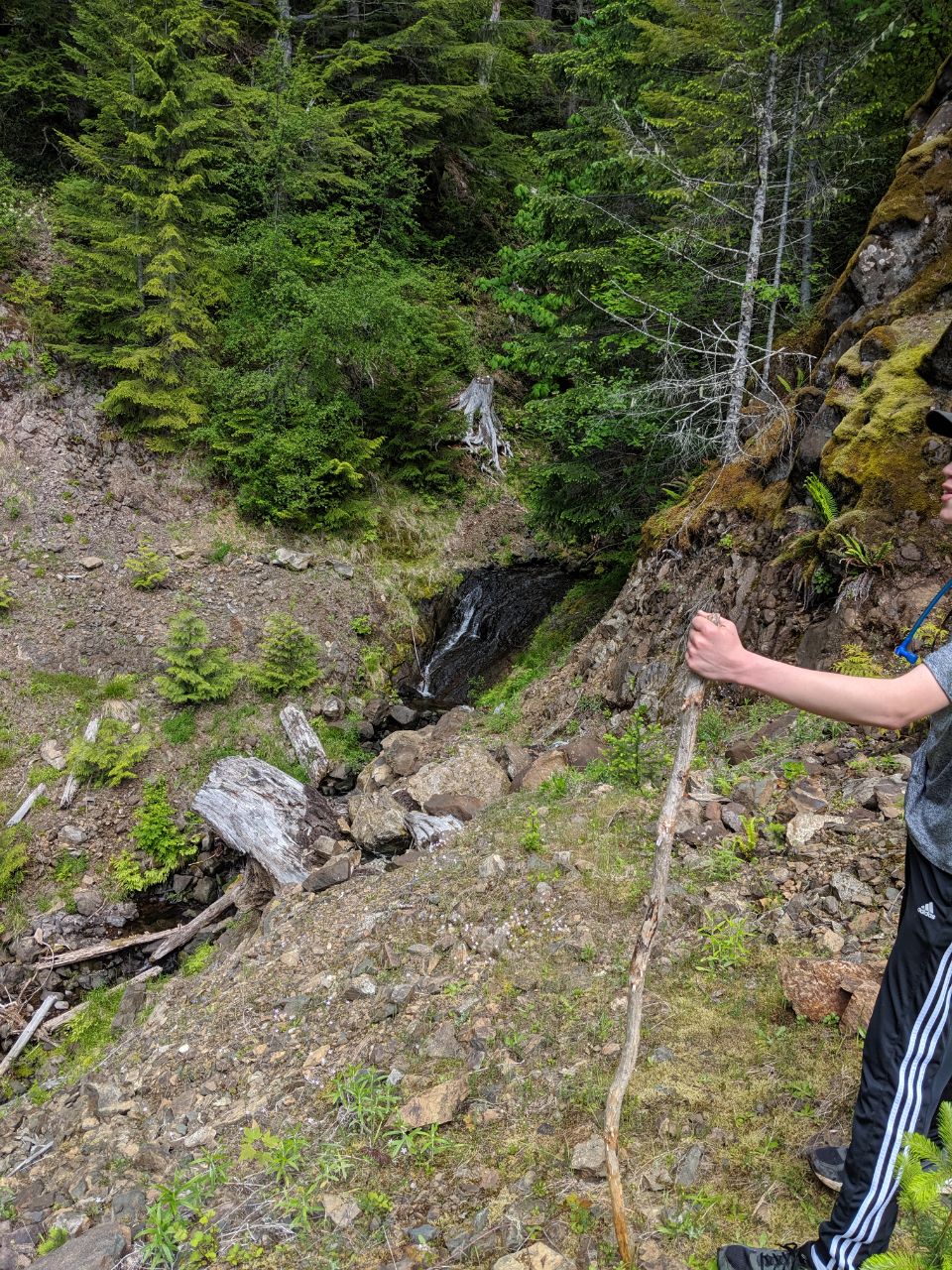
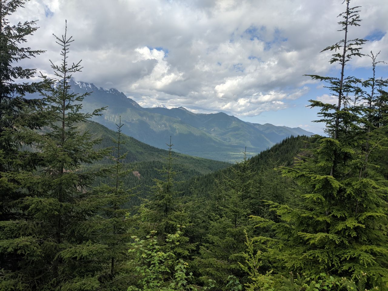
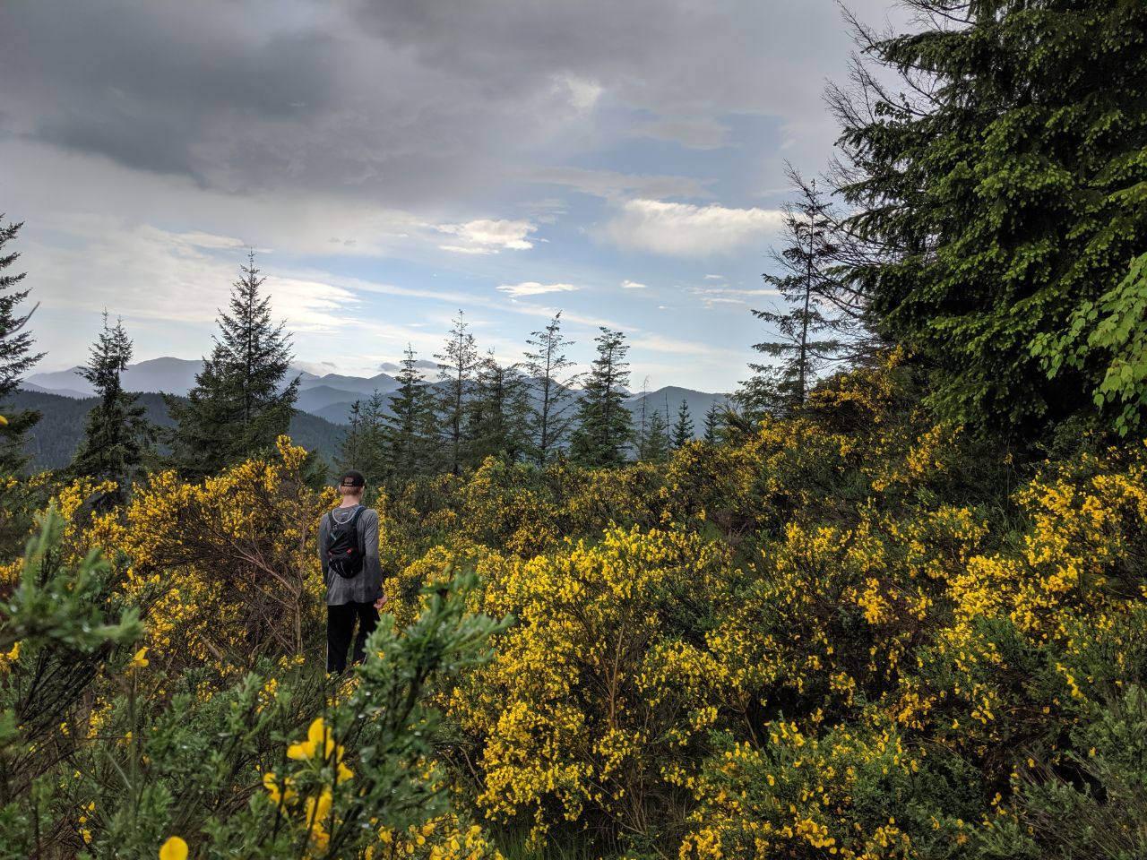
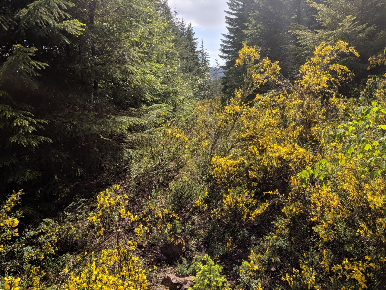
After studying the map, I thought it was worth checking if the road that approaches the summit is accessible. I invited my family, and we drove up to check, and it definitely is not. We drove NF 23 to NF 2353, which proceeds past some campsites to the trailhead. There is a gate that is sometimes closed, but this doesn't really add a lot of effort to the trail. We got to NF2348, which turns into NF2365 and heads up the mountain, to find a berm had been constructed, decidedly closing the road. We made the decision to hike it anyway, and embarked. We had a late start to the day, embarking around 11:00, so we didn't make it The first thing we noticed is that the road is completely washed out at the first creek, but the three hikes are passable - just be prepared to scramble up washed-out embankments. Nothing here has dangerous drops, just steep slopes of soil you have to pick your way across. After proceeding in two miles, you'll encounter thicker and thicker scotch broom, eventually finding parts where you must more-or-less wade through it. Sometimes patches will open up, but the best route is often on the high side of the road. Proceeding up further and around the ridge, it starts to clear out, and then turns to birch, which begins to dominate the growth that has overgrown the road. At the easternmost point of the road, where you start to proceed west again, there is a tee intersection and a large boulder, and some lovely mossy footing; this road seems to continue down that side of the mountain a ways, but we didn't explore it far. There is one other Y intersection just beyond this point, at about 3 1/4 miles past the NF2365 branch-off point, where the road crests the ridge, proceeds along it, and then turns down the north side of said ridge. The other branch of the Y proceeds on the south side of the ridge; my maps show the road on the north side, but not the one on the south side. The north road proceeds up the mountain. We went this way. This is where the birch starts in earnest. We found ourselves pushing our way through dense thickets of birch saplings. The track of the road is easily followed, but the overgrowth is slow going. We made it about four miles from the trailhead by 2:00, and we decided that it would likely take us another hour to summit, if not more, which would likely put us back down the mountain at 7:00, so we called it. We turned around and proceeded back down the hill. Despite the thickets of brush, it is actually pretty quick going through them when you're sped by going downhill, much faster than it is uphill. If you choose your path well, you will make it through with some speed, and having done it already, you will find it easier to pick your path. This trail is doable, but strenuous, unmaintained, and for the determined hiker only. You will not get lost but you will struggle to get through the trees. Wear long pants and long sleeves to protect your arms. Cell coverage is good once you have climbed a mile or so, varying depending on carrier, but AT&T and Project Fi both provided good coverage on most of the trail, cutting out only in spots. Consider hedge clippers or a machete, to make the trail a little easier for yourself and the next person. Start early and expect to go much slower than you would anticipate. Tell me what you find up past the later stand of birch trees, if I don't try for this one again! Good luck, and happy peakbagging!