I was looking for a reasonably tough snowshoe that could be accomplished in a day, and with few bonus point opportunities, and only so many sno parks, I kept coming back to my favorite mountains from last year. I decided to give this a try, and all things considered it went very well.
Peak 6001 is hard to access in the winter. On marked trails and roads, the shortest route is 11 miles, and I had a party at 6 PM, so I knew I had to do something different. I considered the approaches - Gumjuwac Trailhead doesn't have official parking, and snow still covered it; Bennett Pass Snow Park has a nice, 12-mile snowshoe with only 1500 ft gain, along an easily-followed road, but pace on snow is just too slow for my party. But Teacup Nordic Snow Park and Pocket Creek Snow Park are very close, so I considered the approaches. Pocket Creek has the better approach to the bottom of the ridge, with a road climbing the first 400-500 ft, so I thought, let's try that!
If you want a pleasant snowshoe, and you have all day, Bennett Pass would probably work fine! But a 12-mile snowshoe would probably take at least eight hours in any conditions. If you're willing to do all the gain quite quickly, and you have a good group, this is pretty accessible.
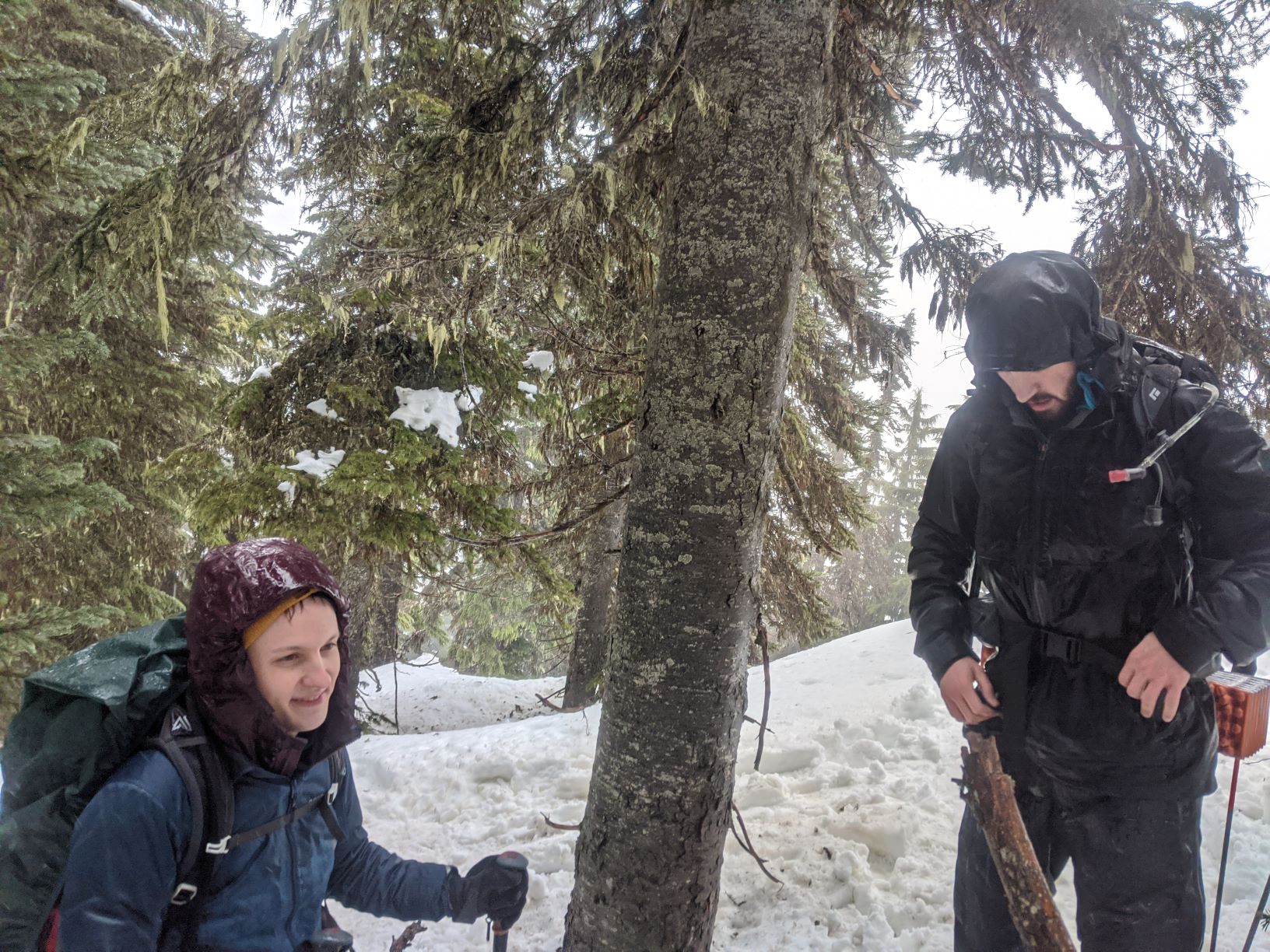
We left Portland at 5 AM, and naturally arrived at Pocket Creek with little traffic at 6:30 AM, with a quick stop in Sandy for the famous Shell station breakfast burritos. (Seriously, if you are headed up 26 for a climb, this is a great breakfast.) Roland, K7FOP, planned to join us at the trailhead, and we all arrived at 6:30. We headed down NF 3540, the main road through the Pocket Creek nordic area, which is quite flat. We missed the turnoff to the offshoot road NF 3540-012, which climbs the ridge, but the turnoff is quite visible, just mind that it's at 45.3192, -121.5821. We turned east off 3540-012 at around 45.3189, -121.5782, and proceeded up through the forest.
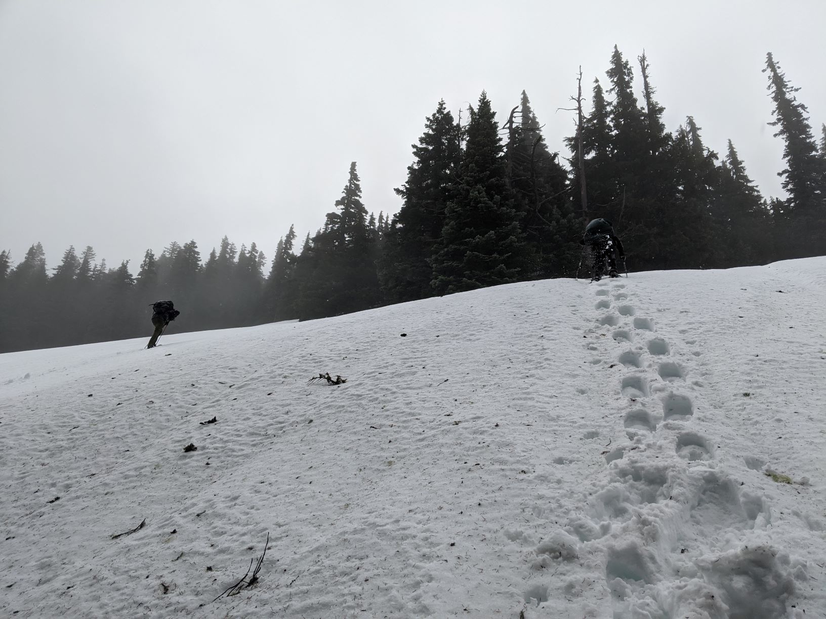
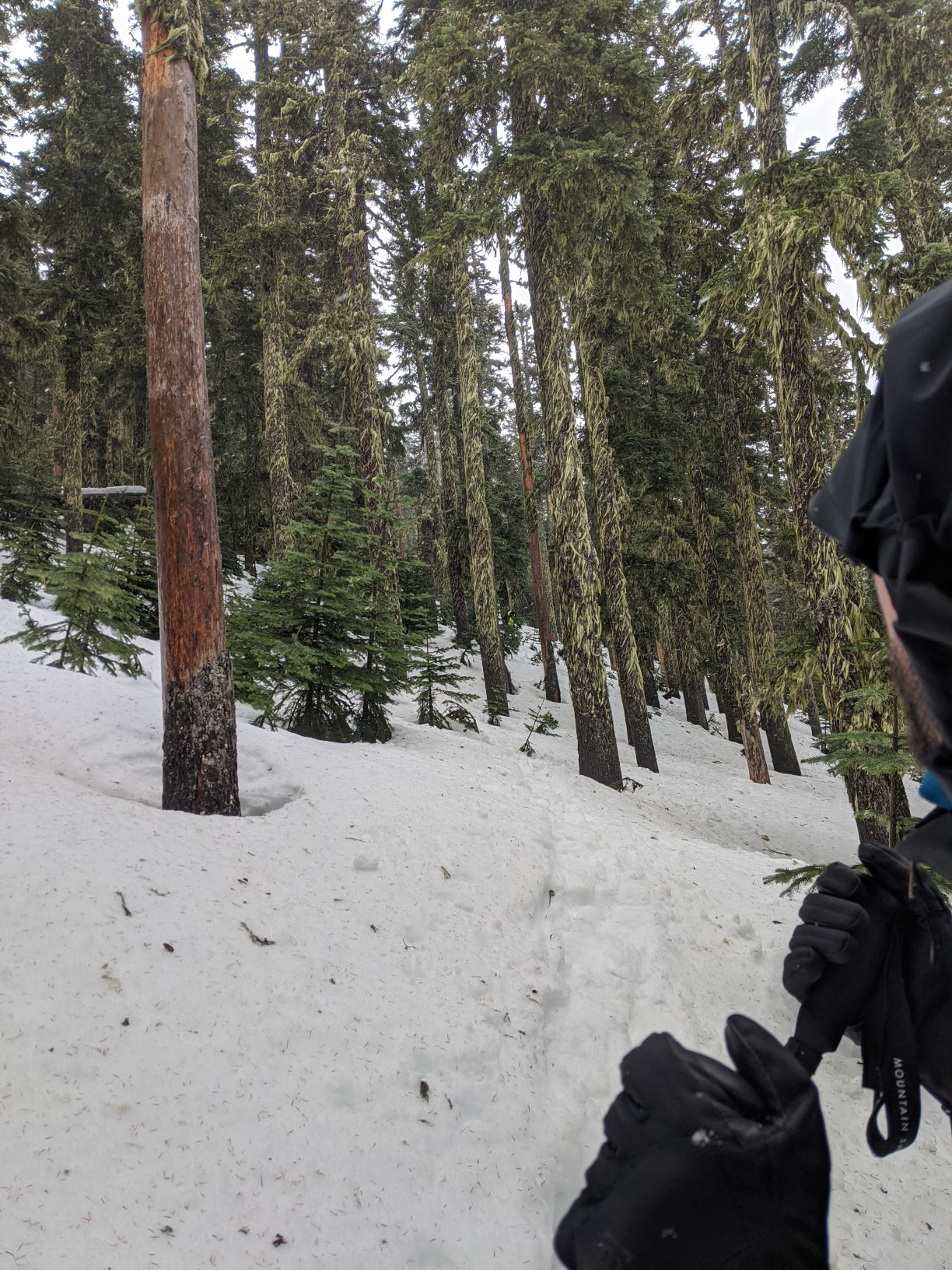
From here, the path we took skirts several large snowfields, presumably rock fields in the summer, which posed some avalanche risk; I preferred to lead us through the trees. It was mostly snow, but one part of the forest was actually quite clear of snow and we walked past a water-soaked mossy stream.
We achieved the ridge before 10 AM, only three hours, and we got to summit a little after 10:30, only three and a half hours up. I managed simplex contacts with Bend and Redmond, and four 20m contacts before being stepped on by a contester.
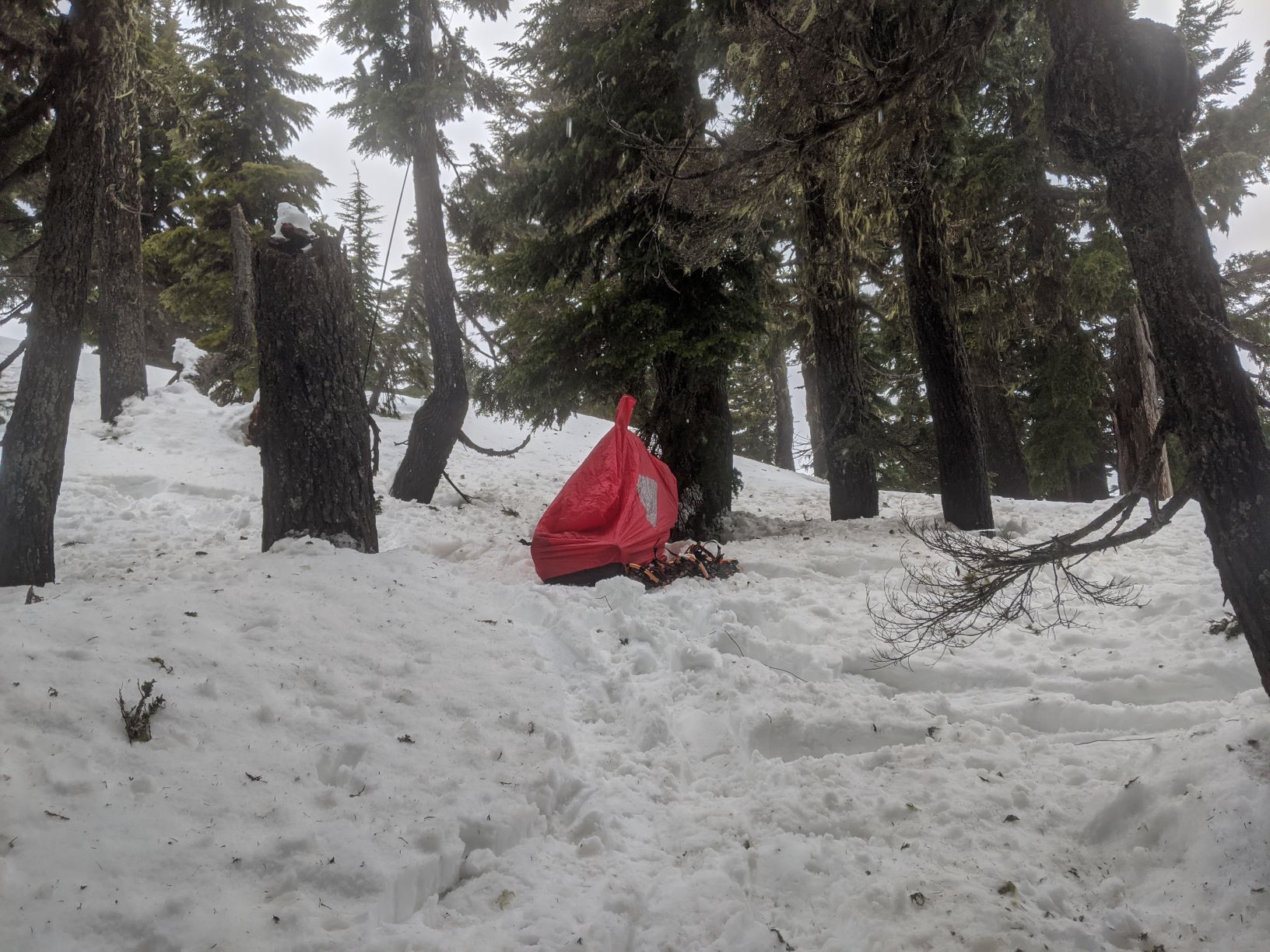
The hike down was more challenging than I expected; we followed the same tracks, but descending steeply in snowshoes is a challenge. In the same trees, much of the snow we had climbed was gone, and it might have been wise to remove snow shoes and carry them for a few hundred feet of descent. Snowshoes and poles are absolutely the correct equipment for this route at this time of year, though. I strongly recommend GPS and following a track, since there is almost no indication of the peak or the trail near the summit. Routefinding down the mountain is easier, and you can depend on descending a consistent slope to the northwest that will intersect an easily-identified road, at which point hiking down, north, and out will get you home.
It took us 3.5 hours up, 2.5 hours down, and with an hour on peak we took about 7 hours total - from 6:30 arrival, and 6:50 departure, we made the cars again at 2:30 PM, only 8 hours total. From departure to return, it was 11 hours, and picking up my friends it was 12 hours, getting me home by 4:30, plenty of time to get ready.