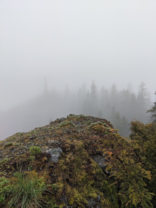
Bare Mountain is an easy bushwhack up from a decent-quality dirt road. There are several approaches, but this one is by far the easiest - and may have once been a trail to the summit. I recommend GPS, as there is no defined trail and coming down it is hard to follow your own tracks - though if you stay east of the original tracks you will still come out on the road. I could probably make it down NF-311 in a sedan. We walked from the pull-off on NF-311.
Proceed up NF-54 past the trailhead for Soda Peaks Lake, and where NF-307 turns off to the east and goes past the trailhead, NF-5407 forks off of NF-54. NF-5407 is the uphill of the two paved roads - take it up the hill from 45.8908, -122.0660 to 45.9042, -122.0682, turn right to head north on NF-311. At 45.9125, -122.0652, pull off, there's a somewhat lower-condition road that is not marked, but might be passable with a high-clearance vehicle. Nevertheless, we followed this road up the hill for a ways, and it cut southwest and then north up to the ridge. I recommend following this road to the high point of the road, 45.9113, -122.0694. Turn southwest to follow an ATV track up the ridge for a few hundred feet laterally, which ends abruptly in trees and blueberries. From here you're on your own - some ribbons mark the route but there is no trail for the next 150 feet of gain. The ridge is clearly visible on my map, but it is not really visible - just head up, and up. When you get near the summit, the foliage will open into a forested clearing, which you could set up in - but do yourself a favor, and head up and around the summit rock to the north side. There's the remains of a graveled trail, or something that resembles such, leading to the summit rock, and there is a crease up the north side which is steep but not exposed, easy to scramble the last ten feet. There is a small amount of space up here for VHF operation, and on a better day the view would be spectacular. This might be the easiest bushwhack in the area, and it's less work than even Soda Peaks. Try this with Twin Rocks, and maybe even West Soda Peaks.