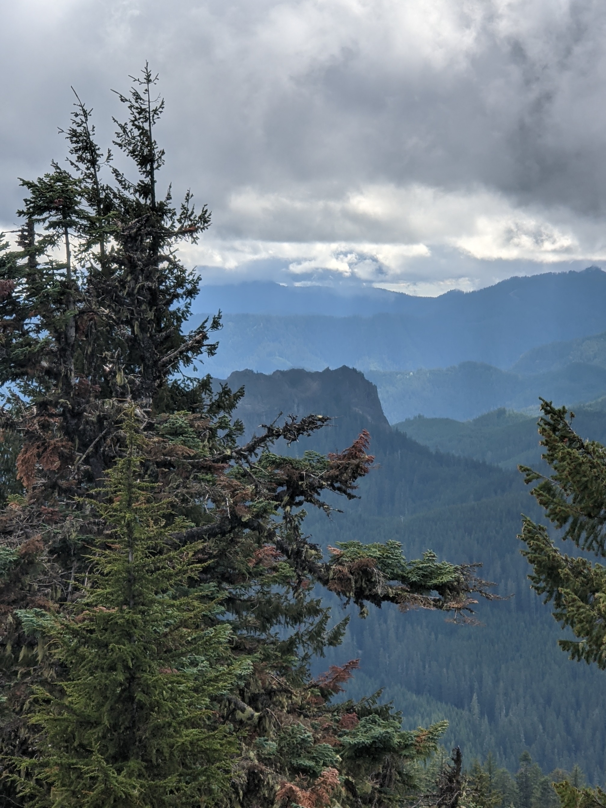
Bunchgrass Mountain is a bushwhack through meadows of bear grass (presumably its namesake), and trees and brush up higher. It eventually reaches an unavoidable steep push to the AZ, which rewards you with impressive nearly panoramic views of Wolf Rock, Latiwi Mountain, and others to the east. This is across the road from Wildcat W7O/CM-082, and across the highway from Iron Mountain, so they make a good pair or trio if you have the time.
As with nearby Wildcat Mountain, take US 20, then turn south onto NF15 and follow twists and turns, and several forks, to a sign on the left that says Fritz Wildcat, at 44.3437, -122.1303. Follow this road up to climb the ridge, and park at 44.3263, -122.0958, the high point of the road. Google has all these roads marked and it can get you there.
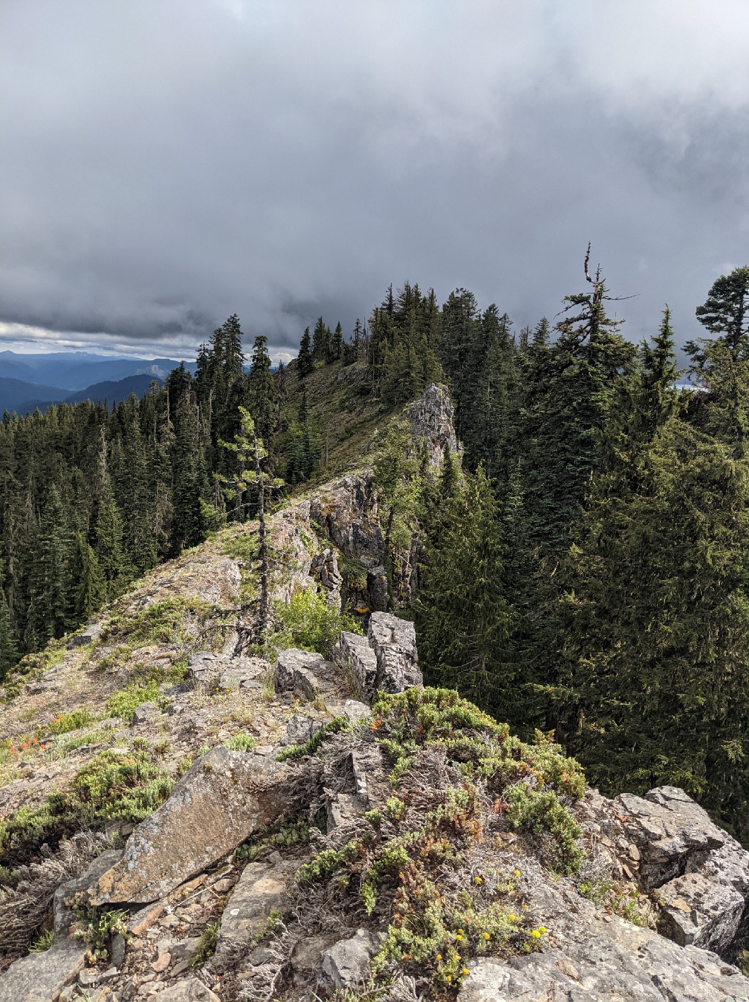
You scramble up the embankment carved to make space for the road, and encounter a vast meadow completely populated with bear grass and sparse stands of trees. This would be absolutely spectacular to see in bloom, but this peak is almost inaccessible until well after the snow is gone from the meadow and the flowers have left. Trek up through the meadow, staying to the east to around 44.3263, -122.0958 where you can climb the rocky side of the ridge to get to the top; this is pretty easy to watch by eye. Then, play dodge the tree on this gently sloping ridge, which is not too hard to follow, til you get to the steepest part. Stay left to take the east side of the ridge again, then pick your way carefully up the steep side of the ridge to 44.3222, -122.0984. You may find a better way up, but this was the clearest path I had. Once you get there, you'll see the AZ consists of a long spine, walkable, but which has 15-20 foot cliffs on both sides in sections. This leads to the summit, but the entire ridge is within 40 vertical feet, certainly in the AZ. You can see quite a few other SOTA summits from here, and some beautiful views of the Mckenzie River valley.
This mountain really was worth the hike just to see it. I recommend it highly for SOTA activators, but it does require careful bushwhacking; please try to minimize your impact to the meadows. Sadly, my HF feedline broke on my way up; I'll never be without a spare again. I made three contacts in three hours on 2m FM simplex, despite a heroic effort to get me contacts from a kind soul in Bend. Make sure your HF is ready!