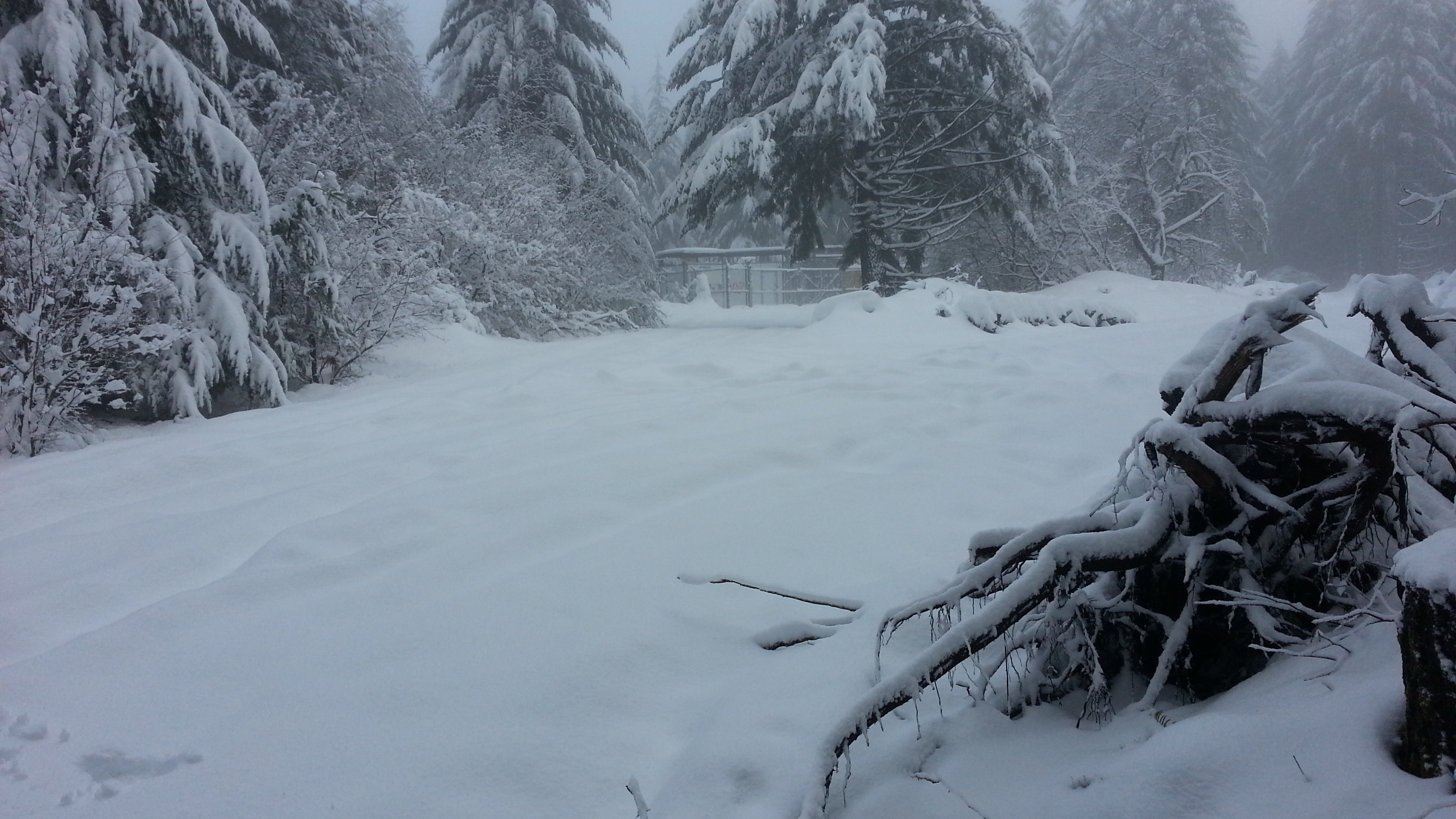
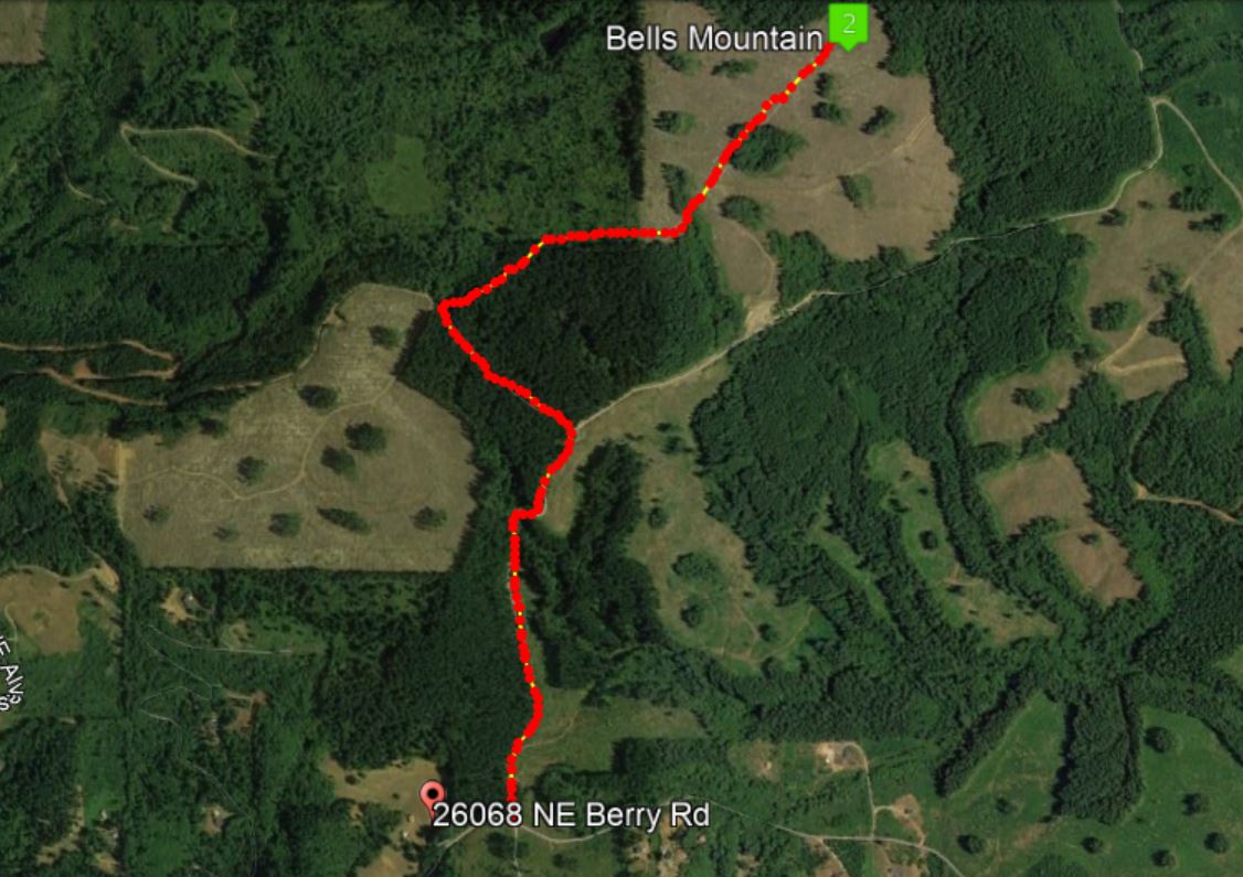
It was a winter wonderland on Bells Mountain above 2000 feet on Christmas Eve, pleasant to look at, not too bad to hike in. Remember, it's always best to park on the right side of the gate and hike the road - it's an easy 1.6 miles to the summit.
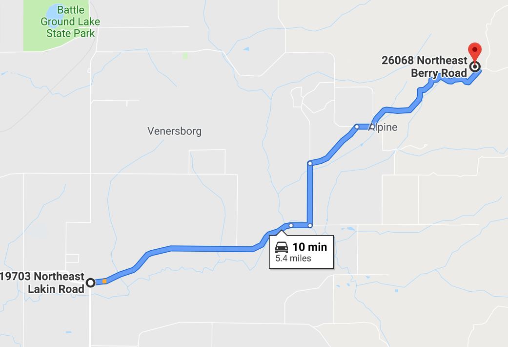
The directions below are from Interstate 5 - some of the mileages seemed a bit off but otherwise it should get you to the gate.
- Take exit 2 for 39th Street/WA 500 E 0.2 mi
- Keep right at fork, follow signs to WA-500 E 0.2 mi
- Continue straight 0.5 mi
- Continue straight onto WA-500 E 5.2 mi
- Turn right onto NE Fourth Plain Rd (Camas) 1.6 mi
- Turn left onto NE Ward Rd 3.3 mi
- Continue onto NE 182nd Ave 3.9 mi
- Turn right onto NE Risto Rd 2.3 mi
- Continue onto NE 209th St 0.2 mi
- Turn left onto NE 227th Ave 0.6 mi
- Take the 1st right onto NE Osman Rd 0.6 mi
- Take the 3rd right onto NE 229th St at stop 0.2 mi
- Slight left onto NE Berry Rd
- Destination will be on the left 1.6 mi
- (The gate is a few hundred yards past this address: 26068 NE Berry Rd, Battle Ground, WA)
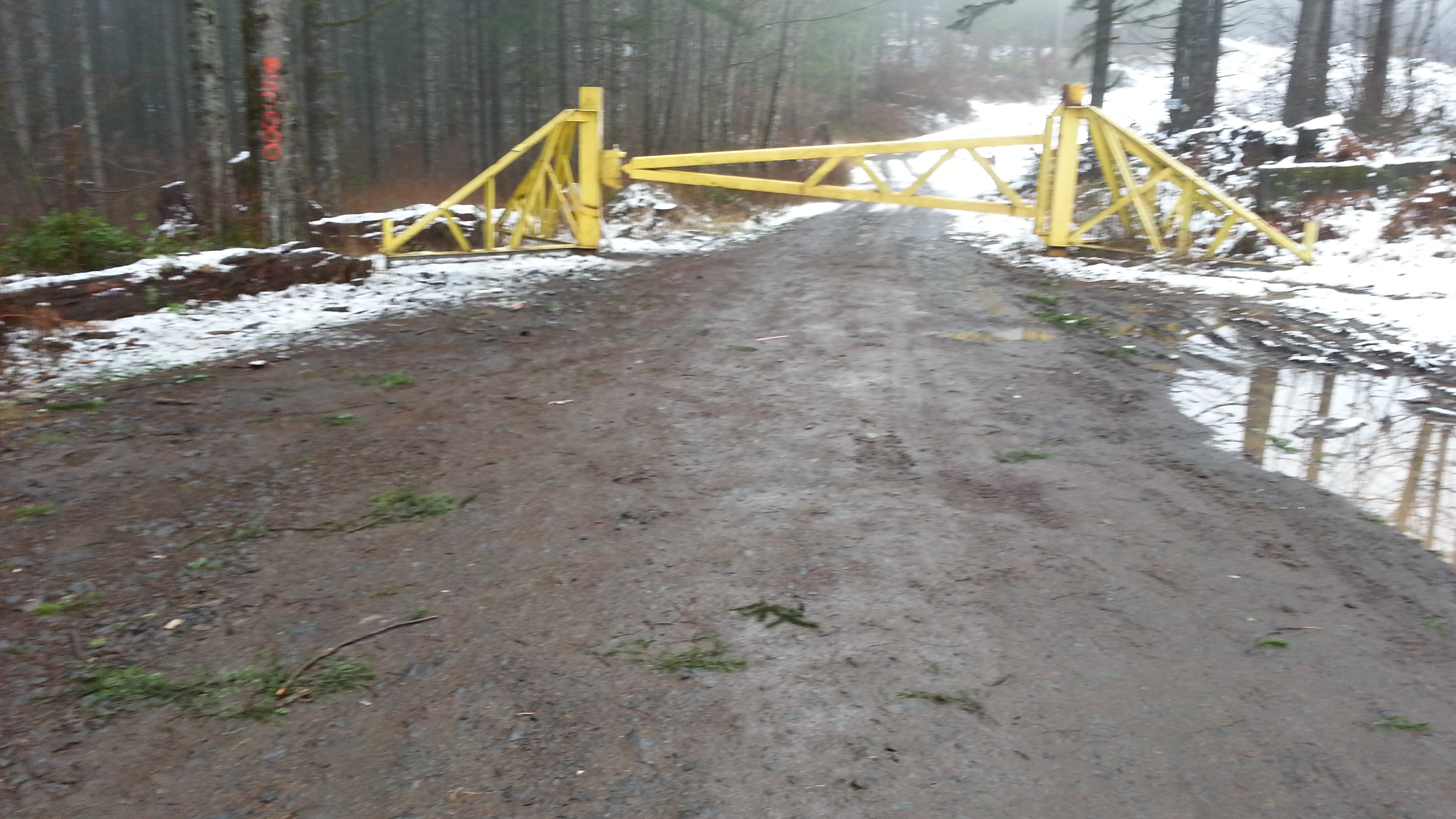
Park at the yellow DNR gate to Road BG-2000. As always, don't be tempted to drive through an open gate - it may not be open when you come back. On the hike up I was cautioned by a "local" coming down the snowy road in an old pickup to "not be trespassing" - he was not very friendly. But I did confirm that the radio installations at the summit were on public land.
Follow the main course of the road keeping left where the road continues upward (you are heading to a summit, after all). A bit later there is a four-way junction where the right turn heads uphill slightly - this one goes to to the summit and the radio installation. A GPS would give you comfort here that you were headed the right direction. The route is highlighted on the map below and the gate area is under the "8" of the address for the closest house.
There was no radio noise that I noticed from the nearby radio installation.
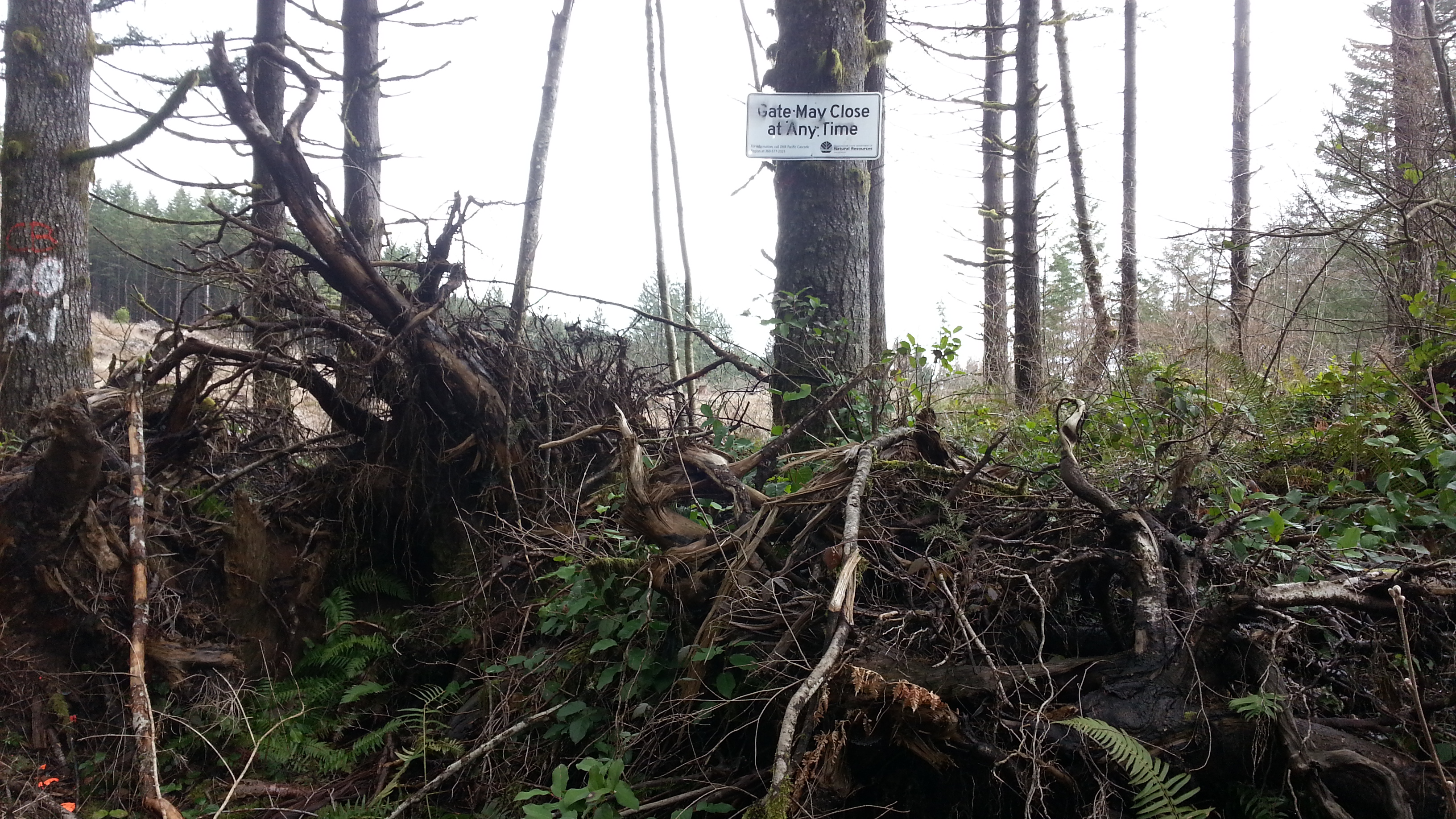
The photos from 2012 show trees at the summit - it has since been logged and is now a not so attractive hike.