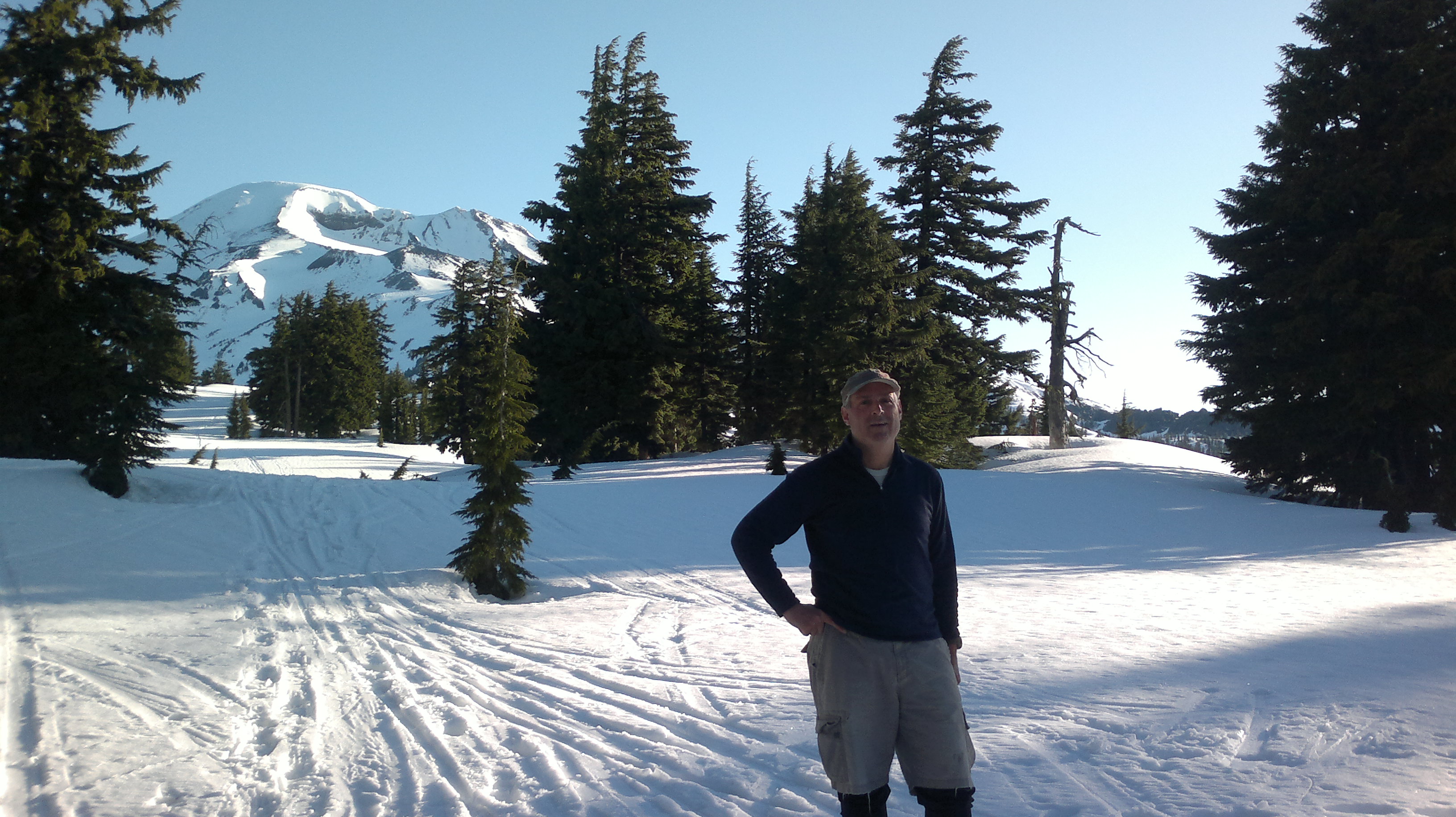
The gate just past the Mount Bachelor ski area on the Cascade Lakes Highway opened just two weeks ago Friday - there is still plenty of roadside snow on the five miles from the ski area to the Devil's Lake trailhead. There's some shoulder cleared near the trail and a bit of space at the entrance to the trailhead parking lot - we bivyed there in the vehicle for the night and got ourselves up at 4am for a 5am start. There is no trail sign or anything to indicate where the trail starts - we scoped it out for bootprints in the snow during the last of the daylight the night before.
We started on skis right away, following a highly variable set of bootprints in the snow up Hell's Creek drainage. On coming out on the plain between this drainage and the mountain we were greeted with sunshine, blue sky, and a great view of the mountain. For the most part we skinned up (a napped fabric on the ski base allowing climbing) until about 9,200 feet when things get steeper and we started kicking steps and carrying skis. As I had occasional coverage from T-Mobile (signals from Mount Bachelor) I periodically was able to update my alert with current elevation and timestamps in a poor-man's version of APRS.
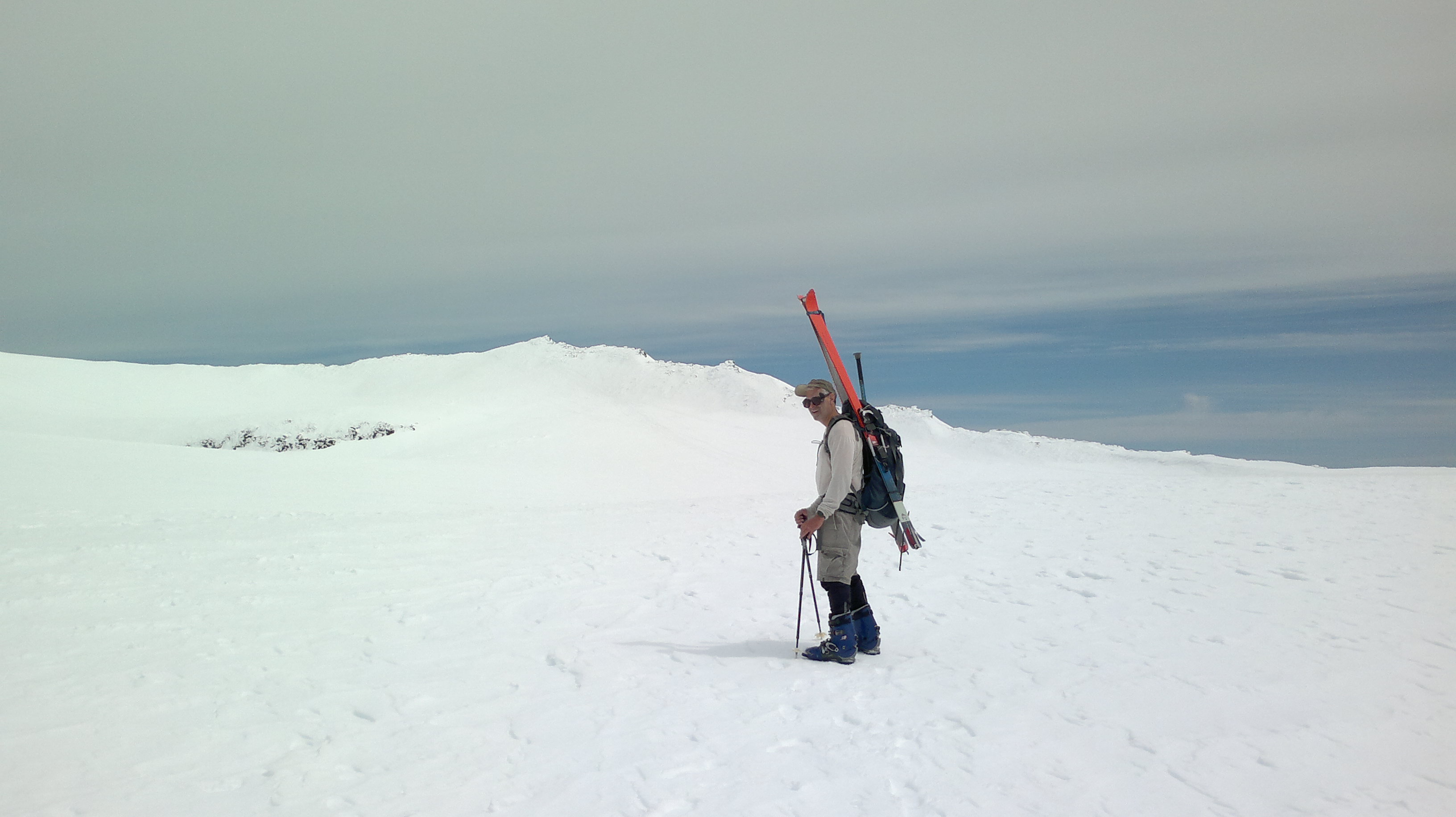
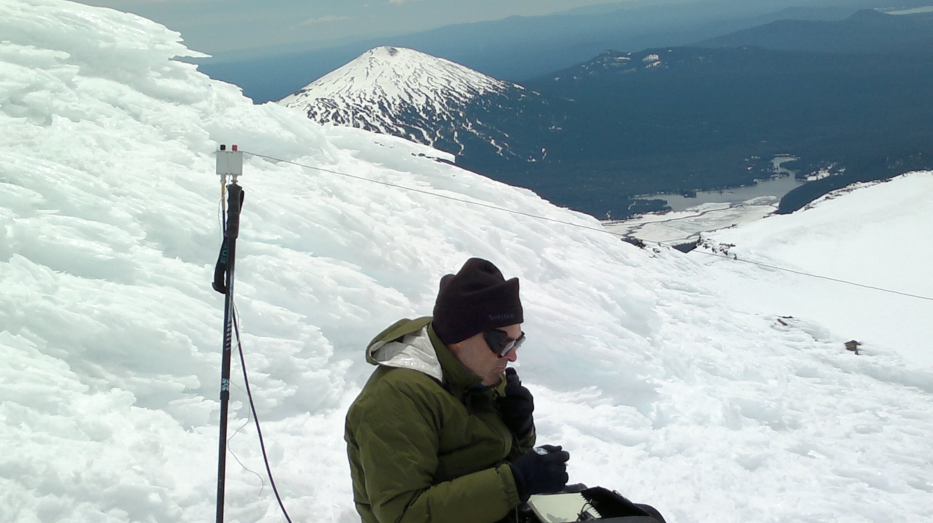
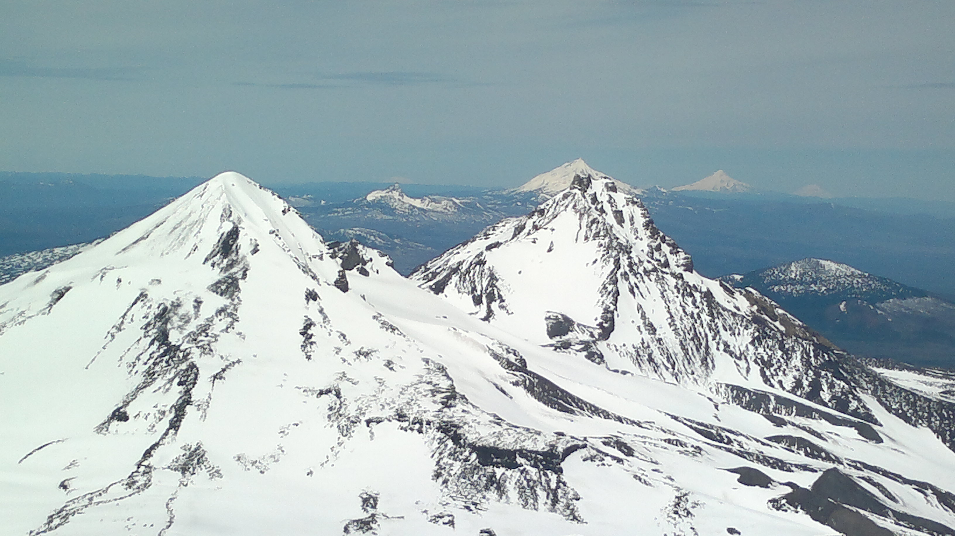
It was a relief to top out at the false summit (about 10,200') and look across the crater to the summit proper (10,358') a quarter mile away. After about seven hours on the great white stairmaster we set up a few feet down from the highest point and started out on 40 meters with chasing by NS7P, W7GH, and W7PAU and on 20 meters from K6ILM, N7AAM, WA2USA, and KG7E. Sorry to those folks further east that couldn't hear me - propagation was not in our favor that day. Would have been glad to stay longer but the wind was biting and the sky was going overcast indicating that it was time to get down. The ski down was fantastic with some heavy mush but mostly great creamed corn all the way back to the car - about three hours.
I couldn't find ONE set of waypoints that had our route. Here's the start: http://www.trimbleoutdoors.com/ViewTrip/756943. And here's the summit part along with a bunch of other trail: http://www.trimbleoutdoors.com/ViewTrip/57255
Radio Gear: FT-817, end-fed halfwave with Hendricks tuner, 20' fiberglass fishing pole strapped to a ski, 3800 mAh NiMH 12V battery.