My general guidelines for off trail hiking are a mile or so across open sagebrush steppe, perhaps half a mile through open forests like ponderosa pine, and about a quarter mile for a western Douglas fir forest. This activation is a reminder to stay with these guidelines and not ever wander through a lava flow again.
I started from the Carson Guler Road, parking about 2.5 miles east of the gate for Red Mountain (W7W/LC-036 - a recommended activation).
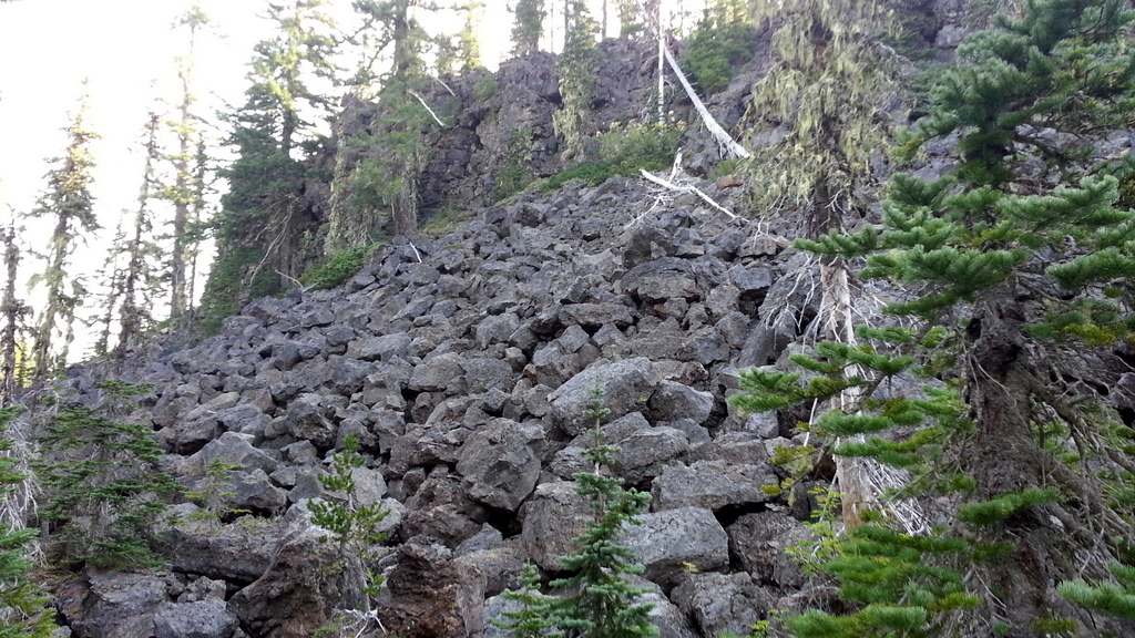
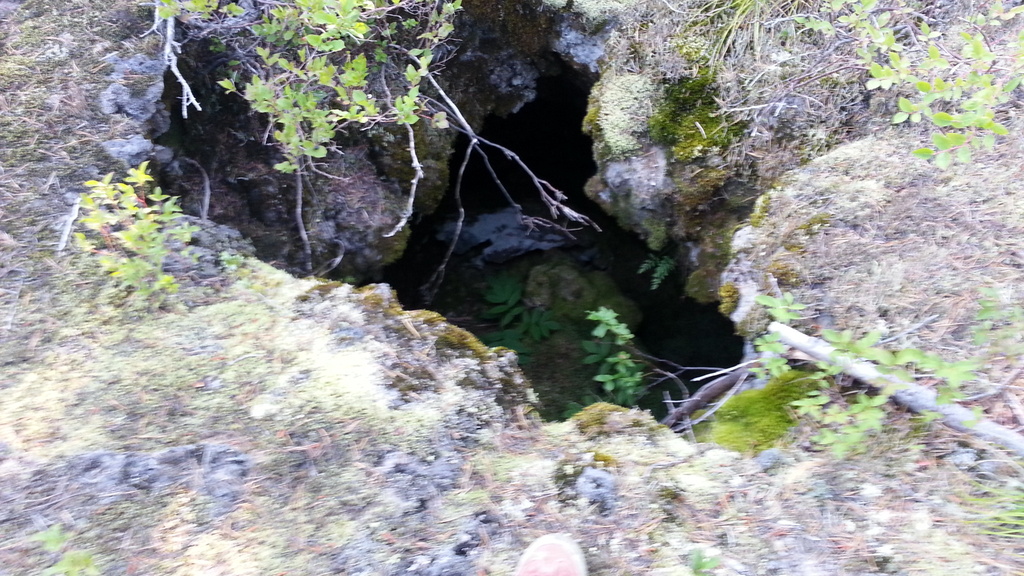
From the road, it is roughly 1.5 miles off trail through varying dense forest and broken lava rock - much of it sharp and precariously balanced above ancient lava caverns and their chilly darkness. The ground is very rough and uneven with the photos telling only a small part of the tale. There is some evidence that people have hiked back into this area in the past, but even a GPS with topo map cannot provide a good route through this rough terrain.