Peak 3534 is a near drive up in the Tillamook State Forest west of Portland off Highway 6. It would be a good combination activation with South Saddle Mountain, W7O/NC-002.
If you are tackling Peak 3534 on its own or to start first on South Saddle, use the directions here http://www.pnwsota.org/blog/k7nit/2013-august-13/south-saddle-mtn-or-ju… to find the "major triangle intersection" and consider using a GPS and a good map while in the Tillamook State Forest.
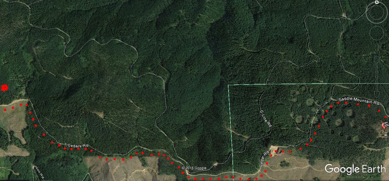
If activating South Saddle Mountain first, from the South Saddle Mountain "saddle", head back down 0.5 miles to the "major triangle intersection" and continue west on Cedar Road.
Go 1.3 miles to a major intersection where you'll continue west on 7 Cedars Road - this should be the second road on the left of the five roads meeting here. From here, continue west 1.0 miles to an intersection with an unnamed road heading right and uphill. My GPS called the road to the left 7 Cedars Road, but Google Earth has that name on the road to the right. From here you'll proceed around Peak 3534 for about 1.1 miles. There are three OHV tracks leading up to the summit of Peak 3534 - I choose the shortest one from the north from a trailhead near 45.55124 -123.43517. However, I now recommend the trail on the west side - it's much more pleasant. The map below shows the way from South Saddle to the 'red dot' of Peak 3534.
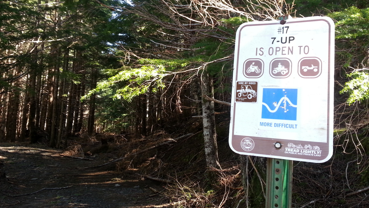
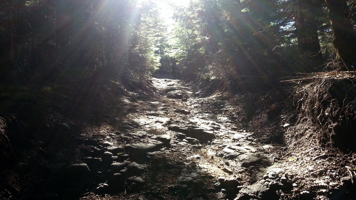
The NE trailhead is marked with a sign for "#17 - 7-UP" (see photo below). From here, it's a steepish 1/10 of a mile up an OHV track to a small clearing on the summit. The OHV trail from the west to the summit is much less steep, but longer at about 0.3 mile. NOTE that this is an active OHV area - set up OUT OF THE WAY of the trails and don't put any antennas across open areas. There isn't a lot of room to do this, but be safe and accomodating to the other users.
There's no AT&T or T-Mobile service in this part of the Coast Range - I used APRS for spotting myself when RBNGate wasn't catching me.