There is a maze of roads in the Tillamook State Forest - a good map, a GPS, and keen sense of direction will help you navigate your way to South Saddle Mountain (not to be confused with the other coast range Saddle Mountain, NC-004). It may not be the most scenic summit, but the clearcuts do provide some great views of the north Willamette Valley.
From Portland head out Highway 26 and then turn onto Highway 6 towards Tillamook. Turn south off the highway just past mile marker 33 at the sign for Rogers Forest Park and Browns Camp. After about 100 yards you will keep right - this is Saddle Mountain Road but most of the roads in this area are unsigned and Saddle Mountain Road will not take you directly to South Saddle Mountain anyway. The directions below were taken from Google Earth and are approximate and there are many intersections not described here - following the main track is usually the best bet.
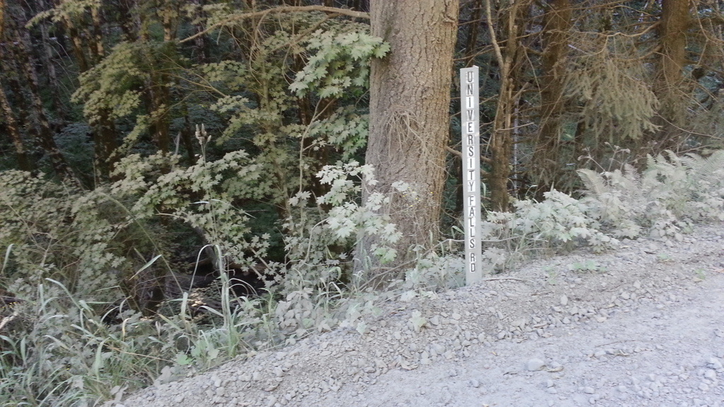
After about 0.7 miles you will keep right again at a major Y intersection with a sign for Brown's Camp. After another 0.5 miles you will bear right again to turn onto University Falls Road - there is an small road sign here. After about 1.5 miles the main track goes left - follow it. A short 0.3 miles later you will turn right onto Beaver Dam Road.
About 4.5 miles later you'll turn left at a small sign with 8.5 on it - this is probably a mile marker from Highway 6. Next you travel about 0.8 miles to a major triangle intersection - you'll turn left here and go about 0.9 miles to the "saddle" of South Saddle Mountain and up to the right to find the gate to the radio facilities - there are places to park a bit before the gate (don't block it). From here it's less than half a mile to the summit and the radio facilities - the activation zone is a bit closer.
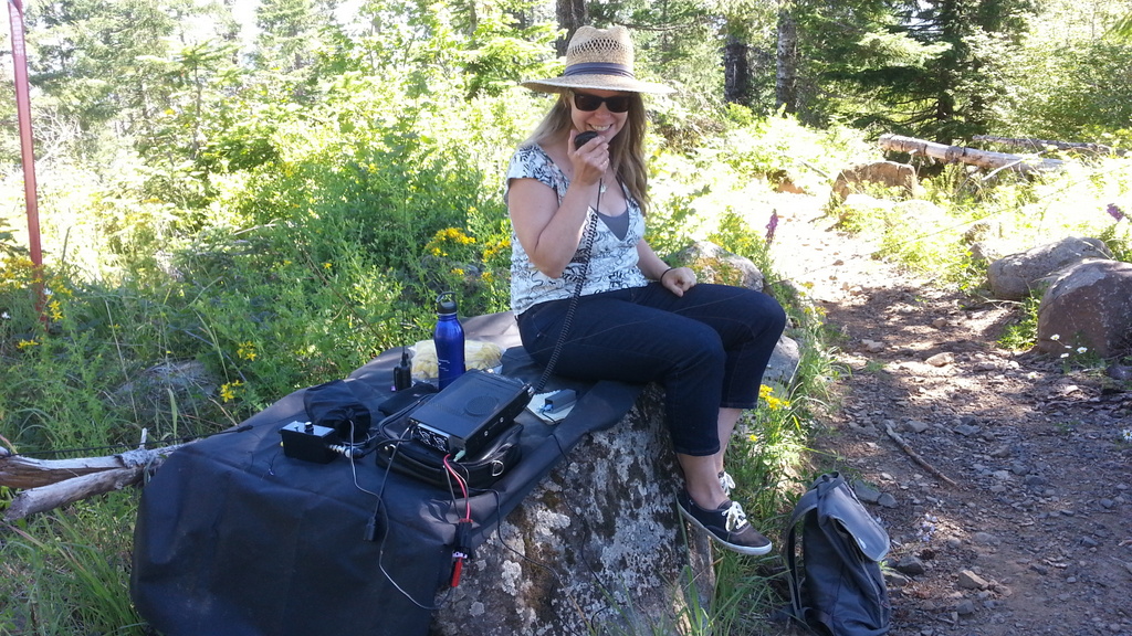
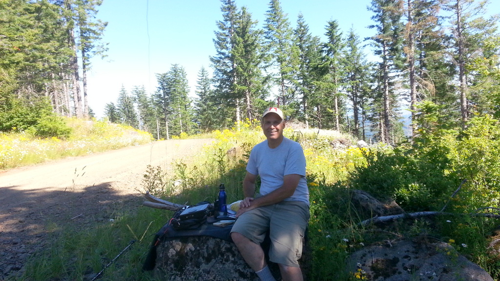
From just inside the activation zone at the road switchback we didn't have any RFI from the radio facilities and enjoyed good views to the south and east. We easily worked Scio and Sandy on 2m FM with 5W (each about 65 miles) and had plenty of HF contacts on SSB and K7ATN had some on CW as well. However, in 2018 there was some new RFI added to the equipment at the summit - it is difficult to use 2m near the summit any longer.
Many maps (Google) mark the eastern summit as South Saddle Mountain - however the SOTA summit is the one with the RF site.